SummerSoloIsle Royale

Five days · no roads, no cars, no cell service

Solo Backpacking Isle Royale: 5 Days Off the Grid

Last verified: October 2026How we verify

The least-visited national park in America is an island you can only reach by boat or plane — 45 miles of boreal forest in the middle of Lake Superior, home to moose, wolves, and 36 backcountry campgrounds. This is the solo backpacking route: five days, one loop, everything on your back.

National Parks & Wild Places

Last verified: October 2026 · How we verify

5 days / 4 nightsBest Jun–SepSoloEstimate: $650–$950
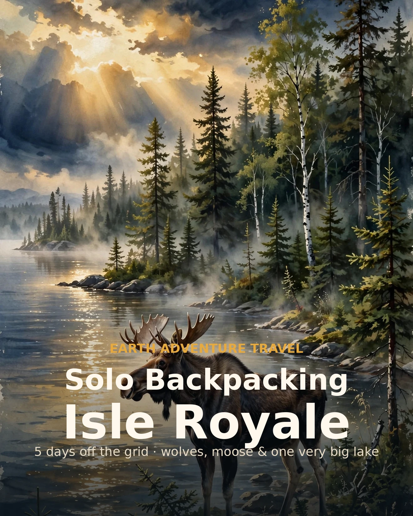
Illustrated Isle Royale solo guide cover: a moose on a Lake Superior shoreline at dawn, boreal forest behind
Original itinerary artwork
On this page
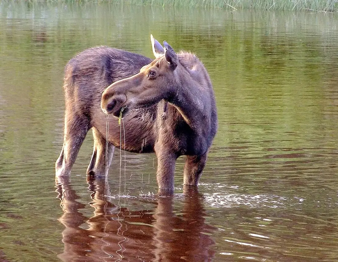
A moose wading in still water on Isle Royale at dawn
Isle Royale · a moose at first light — the island's most-wanted sighting

The trip in 60 seconds

At a glance

Best timing
June–September: ferries run daily-ish, trails are snow-free, and the lake is at its calmest — July and August book out first
Rough budget
$650–$950 solo — ferry, park fees, food, Copper Harbor parking · travel to Michigan excluded · all costs in USD
Ideal ages
Adults 18+ — a self-supported backpacking trip with real remoteness; experienced teen backpackers with an adult
Getting there
Isle Royale Queen IV ferry from Copper Harbor, MI (8am ET, ~3.75 hrs) — or the NPS Ranger III from Houghton (6 hrs)
Don't miss
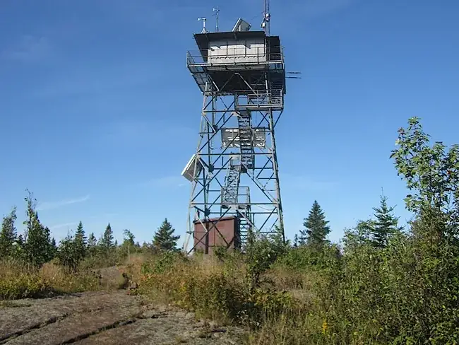
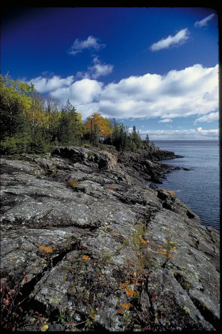
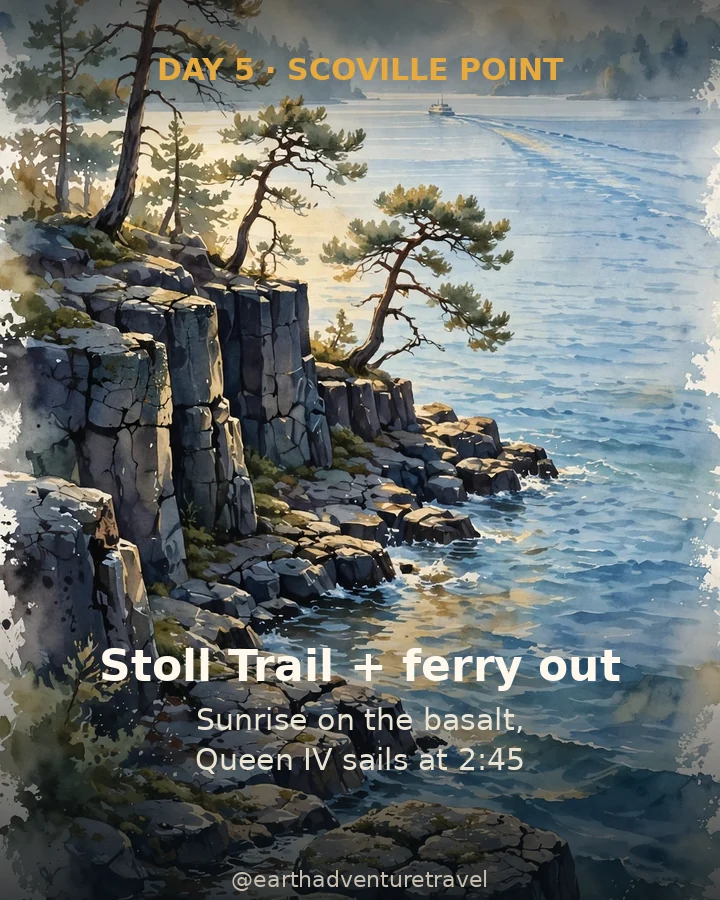
The Mount Ojibway fire tower at golden hour, a moose at dawn, and sunrise on the basalt at Scoville Point
Good to know
There is no cell service and no resupply — everything you need for five days crosses the lake with you on the ferry

Rough budget · solo

$650 – $950

5 days / 4 nights · ferry, park fees, food, parking · travel to Michigan excluded · all costs in USD

The route

Five days, one island, zero roads.

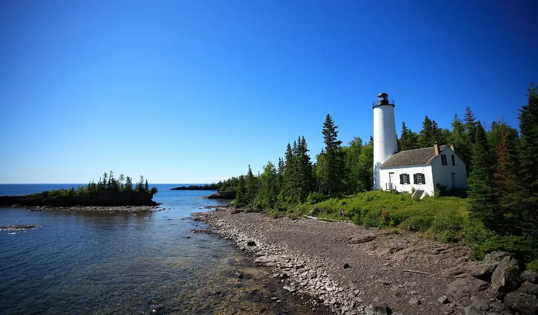
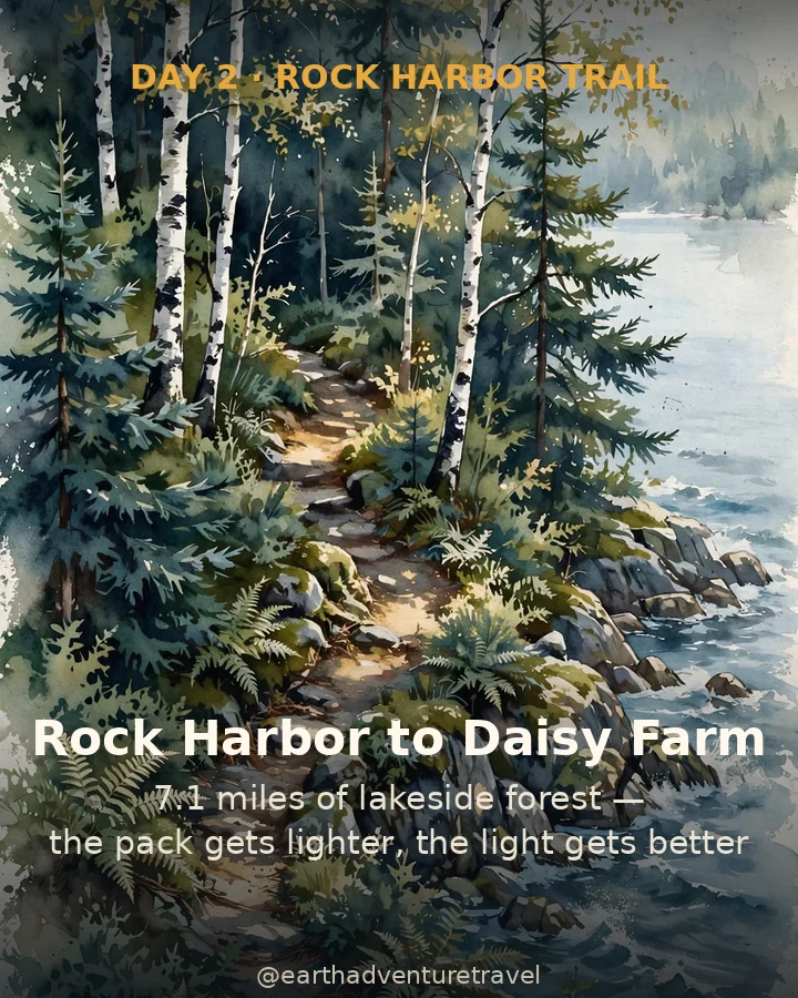
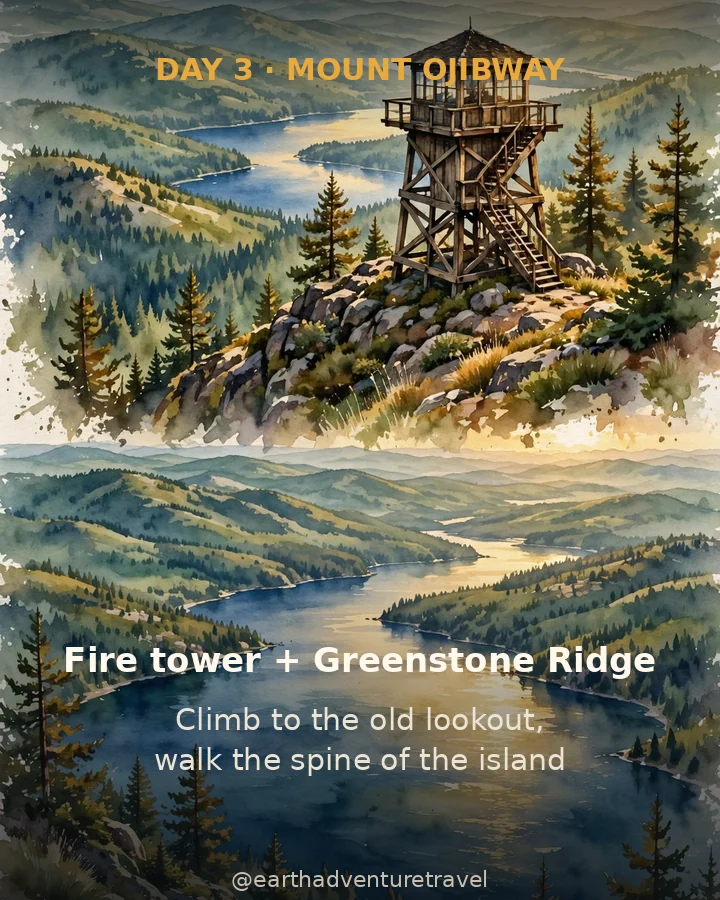
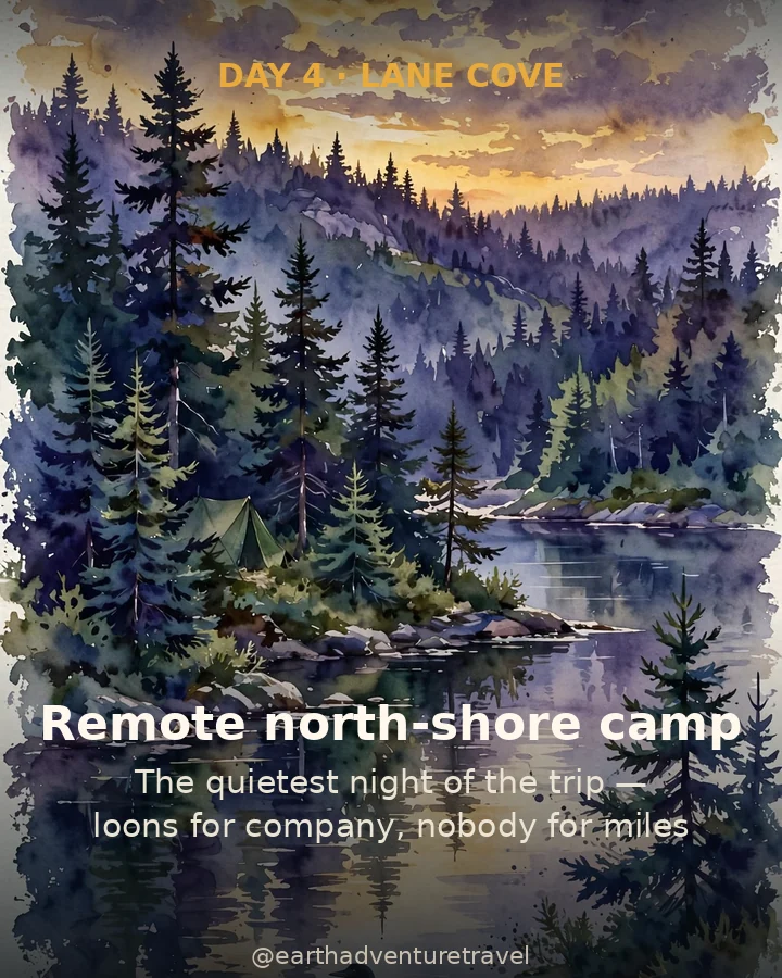
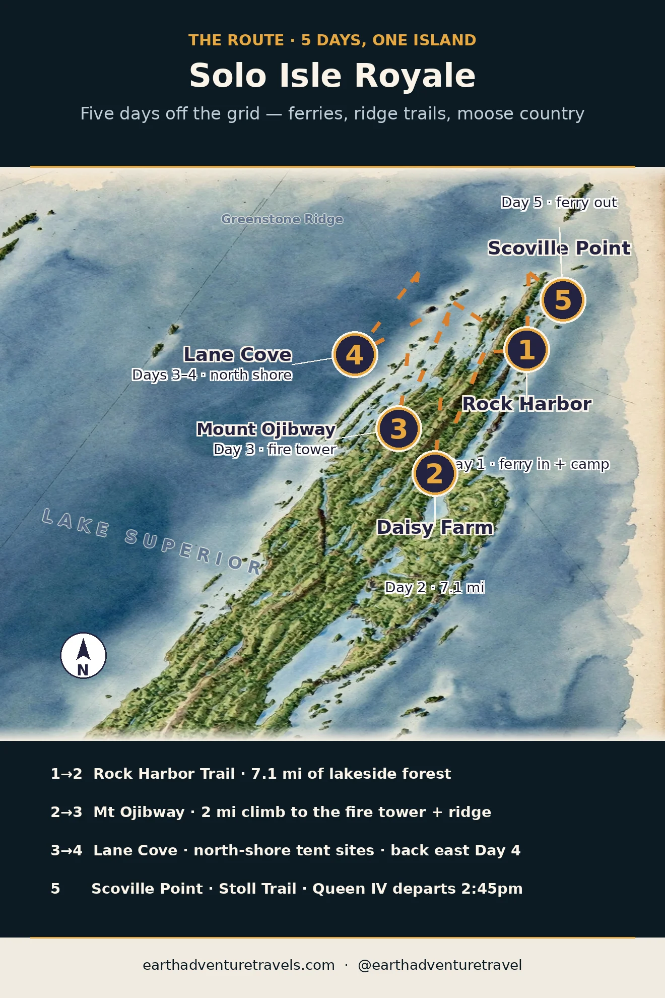
Ferry in to Rock Harbor on the Queen IV, walk the Rock Harbor Trail 7.1 miles to Daisy Farm, climb to the Mount Ojibway fire tower on the Greenstone Ridge, sleep alone-ish at remote Lane Cove, and finish with sunrise at Scoville Point before the 2:45pm ferry home. The backcountry permit is free and filed with a ranger on arrival — the only reservation that matters is the boat.

Illustrated route map: five solo days on Isle Royale — Rock Harbor, Daisy Farm, Mount Ojibway, Lane Cove, and Scoville Point
Saveable route map · five solo days on Isle Royale

The idea

The trailhead is a boat dock, and the boat only comes twice a week.

Here's the direct answer: five days solo backpacking Isle Royale National Park, June through September, on the island's eastern half. The thesis is simple — this is the rare American wilderness that forces you to disconnect: no roads, no cars, no cell towers, and a ferry schedule that makes your itinerary a commitment rather than a suggestion. You file your route with a ranger, shoulder your pack, and for five days the only schedule that matters is the one you walk.

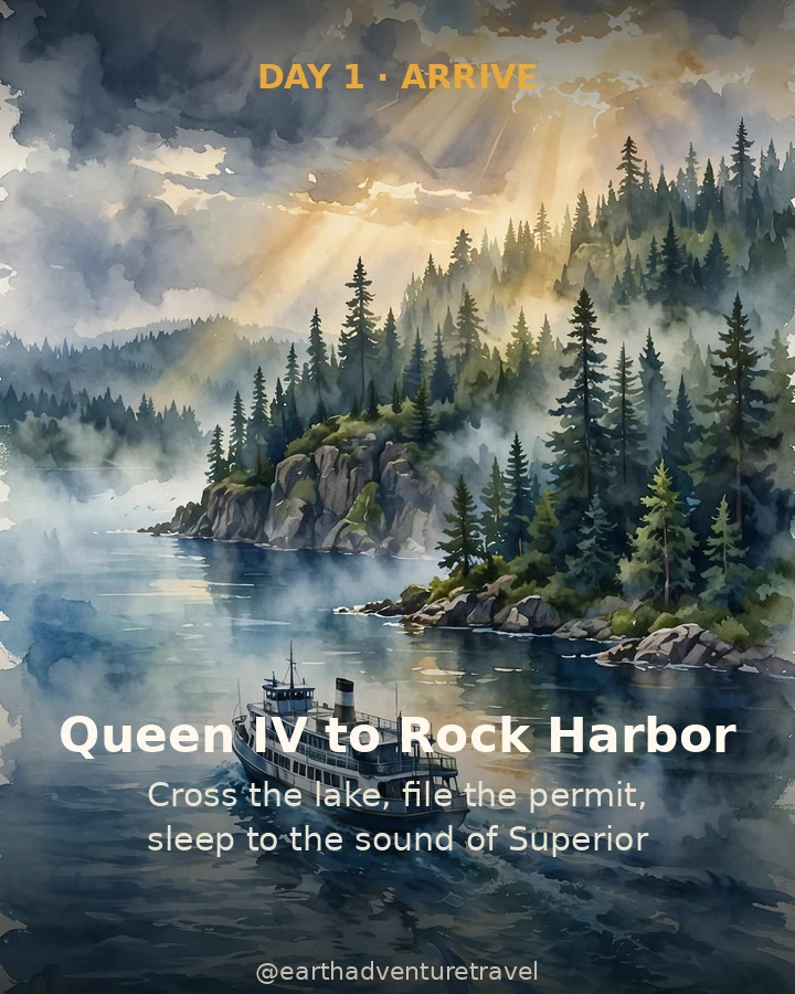
The route works like this: Day 1 ferries from Copper Harbor to Rock Harbor on the Queen IV (~3.75 hrs, adult round trip $175), where the ranger orientation and free backcountry permit take twenty minutes. Day 2 walks the Rock Harbor Trail 7.1 miles to Daisy Farm — the longest day, mostly flat lakeside forest. Day 3 climbs to the Mount Ojibway fire tower on the Greenstone Ridge, then drops to remote Lane Cove for the quietest night of the trip. Day 4 walks back to Rock Harbor for a hot shower and a real meal. Day 5 does the Stoll Trail to Scoville Point (4.2 miles round trip) at sunrise, then boards the 2:45pm ferry home.

Day-by-day summary

Saveable recap graphic for the five-day Isle Royale solo route
Saveable route recap · five solo days on Isle Royale

Five days in, the mainland starts to feel like a rumor — and Superior, for once, has your full attention.

45 mithe island, end to end
36backcountry campgrounds
$7/daypark entrance fee
0roads, cars, or cell towers

Who is Earth Adventure Travel?

We map trips worth taking — then get out of the way.

Earth Adventure Travel publishes detailed, field-checked itineraries for families, couples, and crews — the routes, the timed tickets, the food worth the line. We don't operate tours; our Verified Tours are the only trips a team member has personally traveled. Everything else is built from official sources, recent visitor intel, and obsessive route logic — including this Isle Royale guide. More about us · @earthadventuretravel

Before you go

Book the boat first. Pack like there's no store — because there isn't.

These are planning ranges, not quotes. June–September is the backpacking window; shoulder-season ferries are limited and the island's services wind down. Hours and prices should be checked again before departure.

What earns space

  • A satellite communicator or personal locator beacon — there is no cell service, and solo means no one can walk out for you
  • Water treatment for 5 days — filter or purifier; potable water exists only at Rock Harbor and Windigo when operating
  • An extra day of food — fog delays ferries every season, and the island has kept hikers an extra night before
  • Broken-in waterproof boots — rooty, rocky, occasionally muddy tread for 7+ mile days
  • Full rain shell + warm layer — Superior weather turns fast and summer nights can dip into the 40s
  • Serious mosquito defense — headnet and repellent; the bugs are legendary in June and July
  • Bear-canister-style food discipline — no bears here, but wolves and foxes will audit your hang; use the provided storage
  • Paper map + compass — the trails are well-marked, but your phone is a camera now, not a navigator
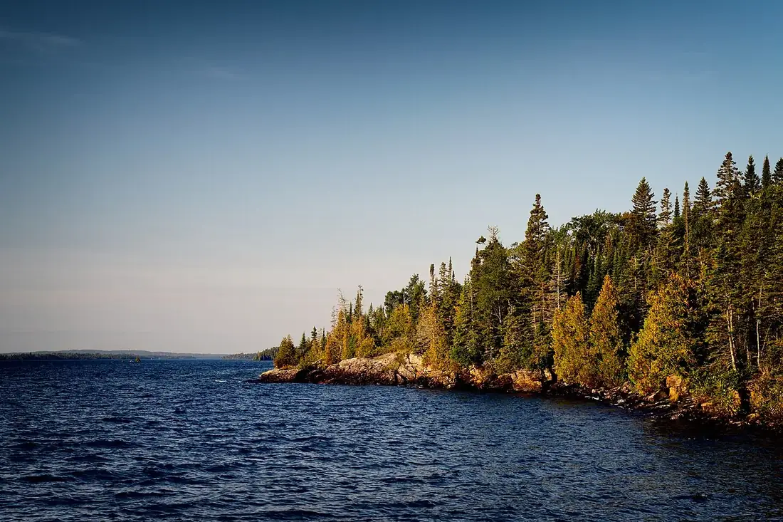
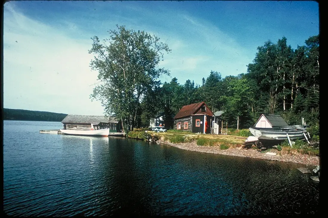
Cabins on a calm Isle Royale lakeshore
Treat every drop. The island's water is everywhere and nowhere — this is what your filter is for.
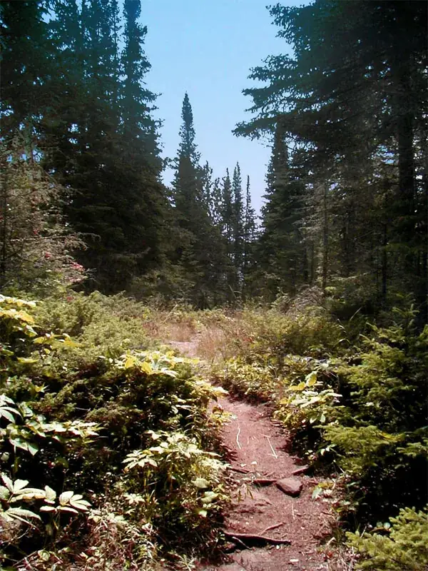
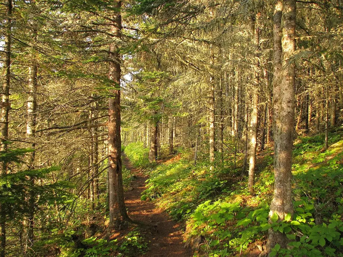
A sunlit boreal forest trail on Isle Royale
Boots earn their weight. Mud, roots, and 7-mile days — broken-in footwear, not new.
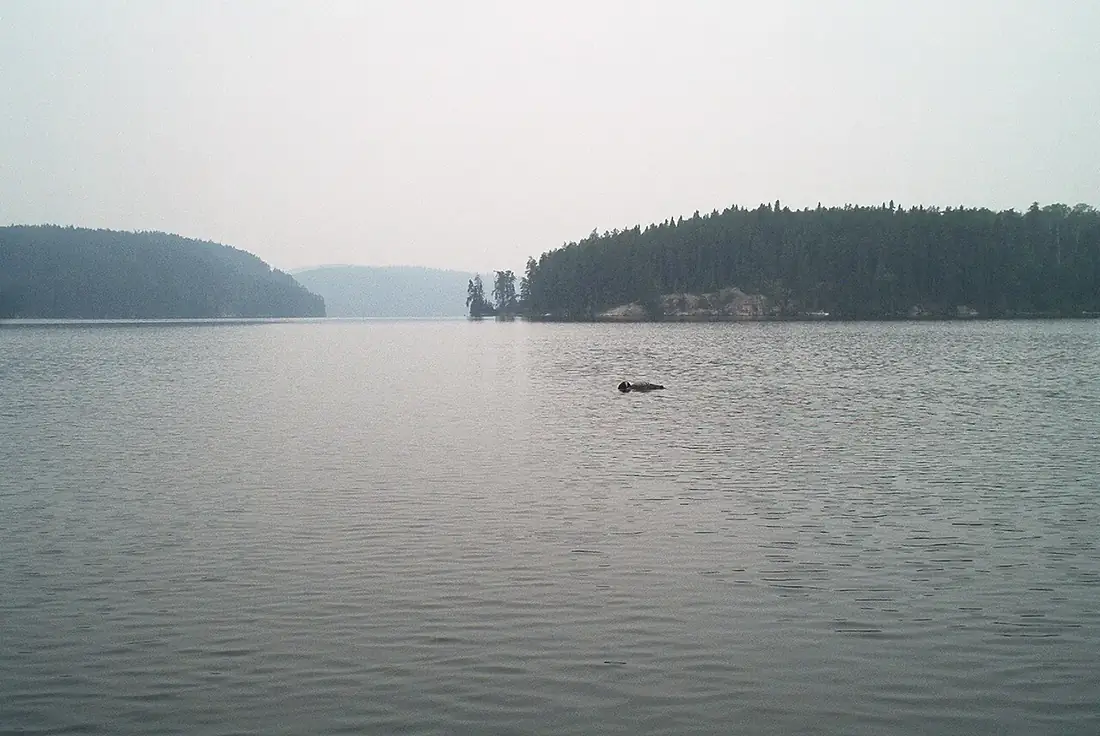
A loon floating on a still Isle Royale lake
Evenings drop fast. The layer you pack for the loon concert is the one you'll wear.

Planning notes

Isle Royale solo questions, answered.

Is Isle Royale good for a solo backpacking trip?

It's one of the best solo backpacking trips in the US — a contained island, well-marked trails, first-come campgrounds, and a ranger-filed itinerary. The solo rules are simple: file your route with the rangers and someone at home, carry a satellite communicator (there's no cell service), and keep daily mileage conservative.

Do I need a permit to camp on Isle Royale?

Yes — a backcountry permit is required for every overnight stay. For parties of 1–6 it's free, with no advance reservation or lottery: you fill it out with a ranger when you arrive at Rock Harbor or Windigo, or on board the Ranger III ferry from Houghton. It's flexible if your days run long or short.

How do I get to Isle Royale?

Only by water or air — there are no roads or bridges. From Michigan's Keweenaw Peninsula, the Isle Royale Queen IV ferry leaves Copper Harbor at 8am ET (~3.75 hrs, adult round trip $175), or the NPS Ranger III leaves Houghton (6 hrs). Seaplanes and Minnesota ferries serve the island's west end.

When is Isle Royale open?

The park is open April 16 through October 31, but scheduled ferries and seaplanes generally run mid-May into late September. June through September is the backpacking sweet spot; the island's two lodging options open in late May with limited availability.

How much does a 5-day Isle Royale backpacking trip cost?

Roughly $650–$950 excluding travel to Michigan: about $175 for the Queen IV round trip, $35 in NPS entrance fees ($7/day), ~$150 for food, ~$50 for Copper Harbor parking, plus a mainland motel night on either end. The backcountry permit itself is free.

Is there cell service on Isle Royale?

Plan on none. Don't build your safety plan around a phone — carry paper navigation and a satellite communicator or personal locator beacon, and leave your route and return window with someone on the mainland before you board the ferry.

Is it safe to backpack Isle Royale alone with moose and wolves?

Yes, with standard precautions. Moose are the real hazard — keep 25+ yards, never approach, and give cows with calves a wide berth. Wolves are famously elusive; don't feed or approach them. There are no bears on Isle Royale. Most wildlife encounters are the highlight of the trip, not the threat.

Where do I get water on the trail?

Treat everything in the backcountry — filter or purify lake and stream water. Potable water is normally available only at Rock Harbor and Windigo while those areas are operating, so carry enough capacity for a full day between campgrounds and top up whenever you can.

What happens if I miss the ferry out?

Fog and rough water delay or cancel ferries every season — it's normal. Carry an extra day of food, keep prescriptions and essentials with you, and leave slack in your mainland travel plans. The rangers deal with weather-stuck hikers routinely; the island has showers, a store, and a lodge.

Can I hike the whole Greenstone Ridge Trail in 5 days?

The full Greenstone runs about 40 miles end to end — doable in 5 days for a strong hiker, but it leaves no margin for weather, rest, or the fire tower detour. This itinerary covers the best eastern half (Rock Harbor, Daisy Farm, Ojibway, Lane Cove) at a pace that lets you actually look around.

Before you book

Book the boat. Check the fog forecast.

Hours, prices, and ferry schedules change — verify these on the official sites before departure.

Queen IV ferry ticketsAdult RT $175; summer sailings sell out — book ahead
NPS entrance fee$7/person/day or $60 annual; prepay at pay.gov
Backcountry permitFree for parties of 1–6; filed with a ranger on arrival
Ferry scheduleQueen IV departs Copper Harbor 8am ET; returns from Rock Harbor 2:45pm — fog can delay either
Food storage rulesUse provided storage; wolves and foxes audit sloppy hangs — nps.gov/isro
Water treatmentFilter or purify everything; potable water only at Rock Harbor/Windigo

Why trust this guide

Research behind this guide

The reporting and research that shaped this itinerary.

How to Hike the Greenstone Ridge Trail in Isle Royale National Park ↗Dirty Shoes & Epic Views — confirmed the free first-come backcountry permit process, ranger orientation flow, and that the Ranger III handles permitting on board
Rock Harbor to Windigo via the Greenstone Ridge Trail ↗AllTrails — verified the 39.9-mile Greenstone length, 3,825 ft elevation gain, and the Daisy Farm/Rock Harbor Trail logistics
Isle Royale Backpacking: Maps, Expert Tips & Complete Guide ↗National Park & Land Search Foundation — confirmed 36 campgrounds, potable water only at Rock Harbor/Windigo, no-cell-service guidance, and the moose/no-bears wildlife picture
Isle Royale National Park opens this week. Getting there won't be easy ↗Detroit Free Press, Apr 2026 — confirmed 2026 season dates (opens Apr 16), ferry start windows, and Queen IV/Ranger III schedules and fares

Trip Types

National Parks & Wild PlacesCoastal Drives & Beach TownsCities & Urban WeekendsHistoric & Cultural RoutesMountain TownsFood & Drink TrailsInternationalView all 112 trips →

The trip index

Choose the landscape. Then choose the pace.

Every itinerary gives you a realistic route, daily rhythm, planning notes, and the details that make a family trip work.

Use the filters above to see the routes that match.

No exact match—yet.

Clear a filter to see the closest routes already in the library.