6 days · Rocky Mountain National Park to Glenwood Springs

Colorado’s golden aspens with your teens

Elk bugling at dusk, three alpine lakes before noon, two passes over the Divide, Maroon Bells at first light and a hot-springs recovery day.
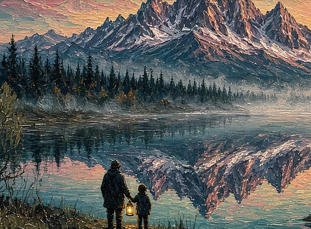
6 days / 5 nightsMid–late SeptemberTeens 13–17 · rental car
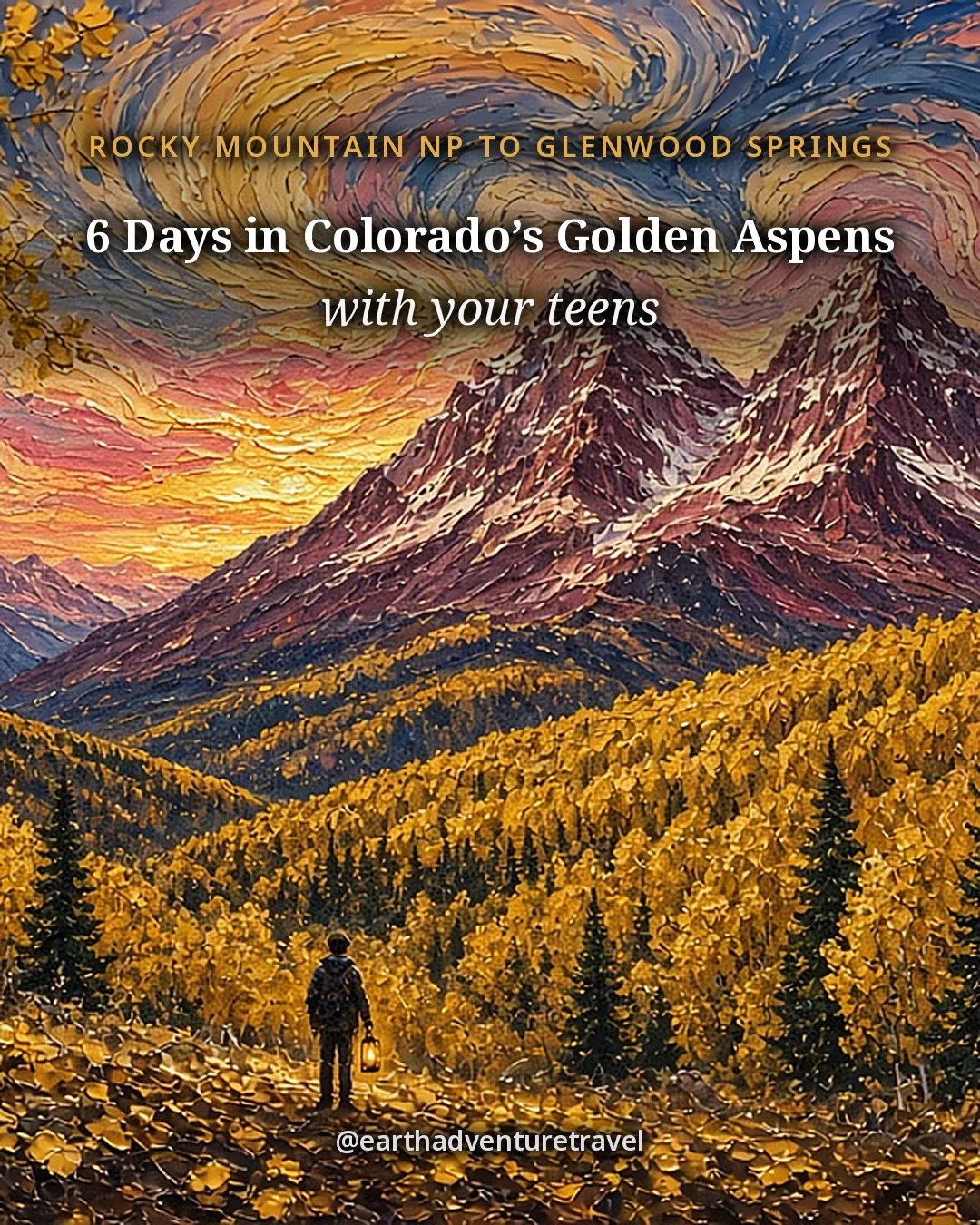
Illustrated cover titled 6 Days in Colorado’s Golden Aspens, a trip with teens
Cover illustration · a lone teen on an aspen trail below twin peaks as the September groves turn gold

Reviewed How we verify

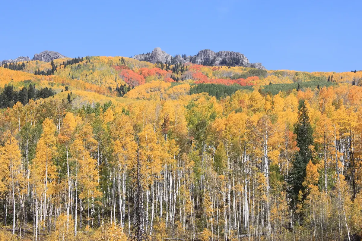
Fall aspen color along Kebler Pass in Colorado
Kebler Pass · a hillside of golden aspens under a clear Colorado autumn sky

The idea

Peak gold, elk bugles and two passes over the Divide.

Mid–late September is when Colorado’s aspens turn and the elk rut starts in Rocky Mountain National Park. This six-day loop gives teens a real hike, a postcard morning at Maroon Bells and a steep rewarded climb at Hanging Lake, with hot springs and caverns as the recovery finish.

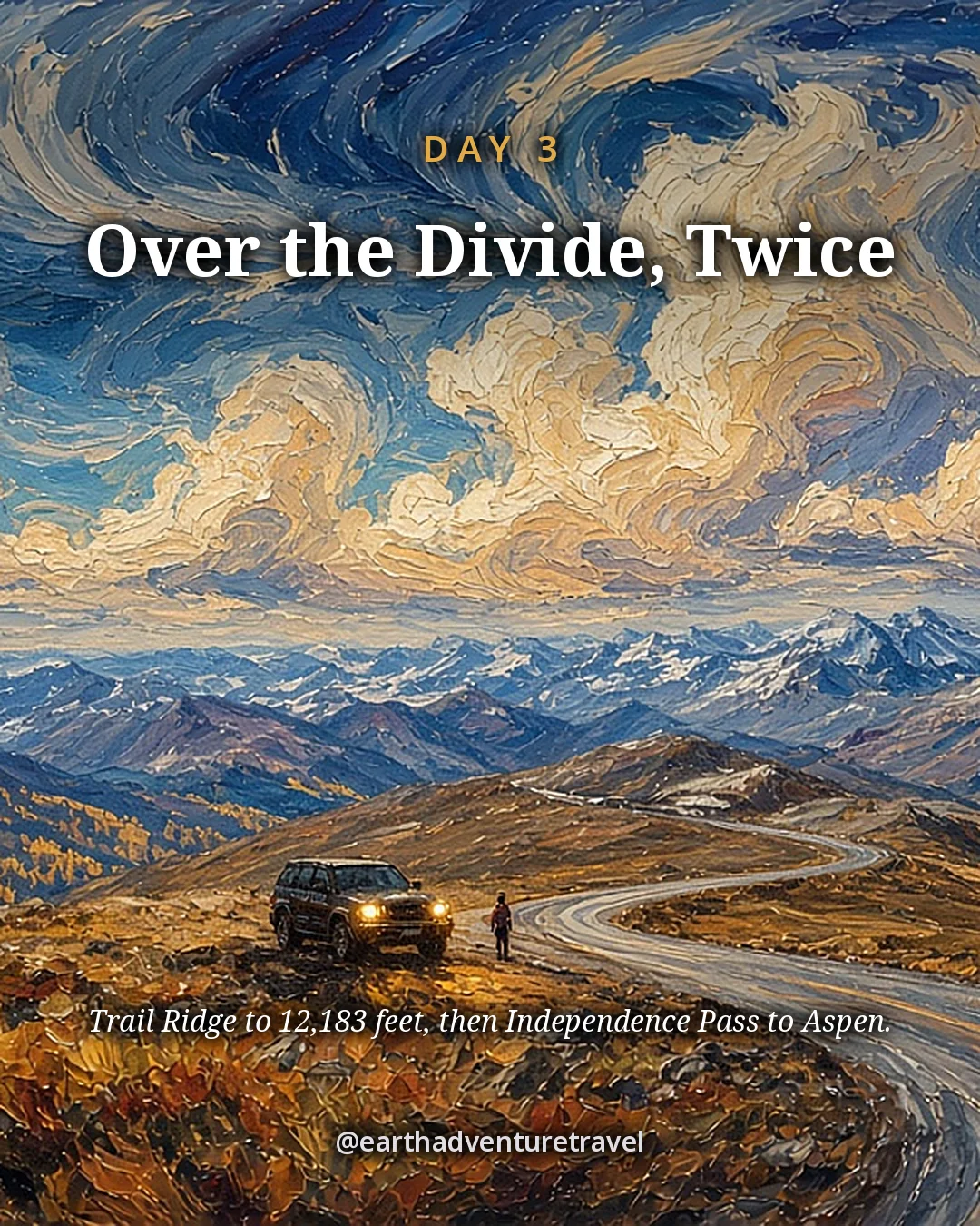
Day three is the transfer: Trail Ridge Road and Independence Pass in one daylight push. It is long on purpose so Days 4–6 stay local. If either pass is closed, I-70 still completes the trip.

Book Rocky timed entry, the Maroon Bells shuttle or reservation and the Hanging Lake permit before you lock flights. Altitude is the hidden character — sleep in Estes the first night and keep water in every hand.

On this trip

A Sense of Place

Culture, food, history and traditions for each high town, lake and pass you’ll share.

On this trip

A Sense of Place

Culture, food, history and traditions for each high town, lake and pass you’ll share.

The trip in 60 seconds

Under this sky

The Season Here

Estes Park to Aspen · two places

Typical November highs sit around 44°F, with nights near 24°F.

  1. NovemberThis monthTypical high 44°, low 24°
  2. DecemberNextTypical high 36°, low 16°
  3. JanuaryThenTypical high 37°, low 16°
See the full 14-day forecast

The next three months

Sky & weather

Forecast for Estes Park

Forecast · refreshes daily

Sun today

Sunrise–Daylight–Sunset–

Sun times load with the forecast.

Typical by month

MonthHighLowHigh / lowWhat to expectExpect
Jan37°16°37° / 16°Coldest stretch; snow is commonSnow
Feb38°16°38° / 16°Still cold; snow is commonSnow
Mar45°21°45° / 21°Cold; snow still likelySnow
Apr52°26°52° / 26°Cool; snow possible at elevationCool
May61°35°61° / 35°Milder days; nights still coldMilder
Jun74°43°74° / 43°Milder; afternoon storms possibleMilder
Jul80°48°80° / 48°Warmest monthWarmest
Aug78°46°78° / 46°Warm days; cool nightsWarm
Sep70°39°70° / 39°Cooler; first snow possible laterCooler
Oct57°30°57° / 30°Cool; snow more likelyCool
Nov44°24°44° / 24°Cold; early-season snow is commonSnow
Dec36°16°36° / 16°Coldest monthColdest

Typical: NOAA NCEI 1991–2020 Climate Normals.

The route

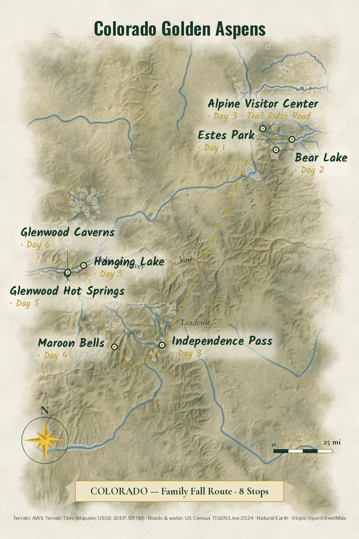
The six-day route

Two nights in Estes Park, then a Roaring Fork / Glenwood base. Start Day 3 at first light.

Make it yours

Two ways to make this trip yours.

Free with an account: this guide as written, with its map and day-by-day plan.

Fits this guide

Your Edition

Same place, same length. Fitted to your group, season and pace.

From $7.99Members $5.99 · Join Freedom Passport · Member price applied

This 6-day guide: $9.99 · members $6.99

  • This guide’s route, re-paced for who’s coming
  • Food hotspots and picks along the way
  • An occasion moment for a birthday, anniversary or first trip
  • Group notes, season notes, packing list and playlist
  • Lives on its trip page and in the app

Uses the guide’s illustrations. No new artwork.

Get Your Edition

Custom Trip

Any combination of places, built from scratch.

From $39Members $29 · Join Freedom Passport · Member price applied

Getaway $39 · Journey $69 · Grand Journey $119

  • Any combination of locations, not limited to a prebuilt itinerary
  • A deeper dive: 3 full itineraries a day, Saver, Sweet spot and Splurge
  • Its own custom artwork, made for your trip
  • Any length up to 21 days, with a trip page and a PDF
Get a Custom Trip

Your Edition fits this guide to your group. A Custom Trip goes deeper: any combination of locations, with its own custom artwork.

Freedom Passport members pay $6.99 and up for Your Edition and from $29 for a Custom Trip. See Freedom Passport

Member prices on every Your Edition and Custom Trip, plus a free Your Edition after 3 paid months (monthly plan). Partner perks coming soon.

Compare side by side

Illustrated travel journal with a winding route and pinsCustom Trip

How we tailor your Colorado plan

A plan that knows how you travel.

3 full itineraries in every plan, Saver to Splurge, so you can pick or mix.

🌙 Your rhythm

The longest outing starts mid-morning, not at dawn.

🥾 Your needs

Prefer shorter walks? We pick stops that are easy to reach.

🌄 Your kind of day

Kids restless in the car? We break up long drives with a stop worth seeing.

3 full itineraries in every plan

Saver, Sweet spot and Splurge, each a complete day-by-day plan. Pick one or mix.

All 3 in your plan
$SaverSmart value
$$Sweet spotGood balance
$$$SplurgeTreat yourself
See it in a sample plan

Yours from $39. Members $29.

Every plan is built around you, your pace and your must-dos.

Longer trips: 15–100 days $127–$807, members $84–$509.

Journey (4–8 days) · $69 · members $49

Art & photos

  • 8 original illustrations of your trip's highlights
  • 14 destination photos to preview each stop1 cover · 6 daily · 7 postcards

Planning

  • Timed itinerary so every day runs at an easy pace
  • 3 full itineraries Saver, Sweet spot and Splurge, so you can pick or mix
  • 3 curated stays per stop to match your budget
  • Where to eat for breakfast, lunch and dinner, plus local tips every day
  • Tap-to-go routes to every hotel, activity and restaurant, opening straight in your maps app
  • Booking timeline so you book the right things in the right order
  • Packing list made for every traveler coming
  • 6 rainy-day backup plans so a wet day still feels like vacation

Your plan, your way

  • Digital trip page in your account, on any device
  • PDF to save, print or share
  • Trip playlist with song links for Spotify and Apple Music
  • Calendar file that drops every day into your calendar
  • Budget estimate so you know the cost before you go
  • 1 free refinement to tweak anything after delivery

Full refund any time up until delivery of the plan. Report a wrong fact and we’ll correct it and send you an updated plan, free. 1 free refinement after delivery (2 on Grand Journey)

Our promise

  • Full refund any time up until delivery of the plan. Change your mind any time before your plan is delivered and we’ll refund you in full. If you report a wrong fact in your plan, we’ll correct it and send you an updated plan, free.
  • One free refinement after delivery (two on Grand Journey). Tell us what to change and we’ll refine it.
  • Spotted an error? Tell us which fact on this page looks wrong and we’ll review it.

The people behind the plans

Who is Earth Adventure Travel?

We build routes for real life — wrangling kids, spanning generations, or heading out solo — and review key details regularly. Things change and we can miss some, so we link the official sources for you to confirm before you go.

Learn About Us

Before you go

Pack for 40-degree swings and thin air.

What earns space

  • Layers for 40-degree swings
  • Timed-entry reservation
  • Sun hat and sunscreen
  • Water for the altitude
  • Swimsuits for the springs
  • Binoculars for the elk rut
  • Layers for Trail Ridge wind
  • Swimsuits for Glenwood Hot Springs
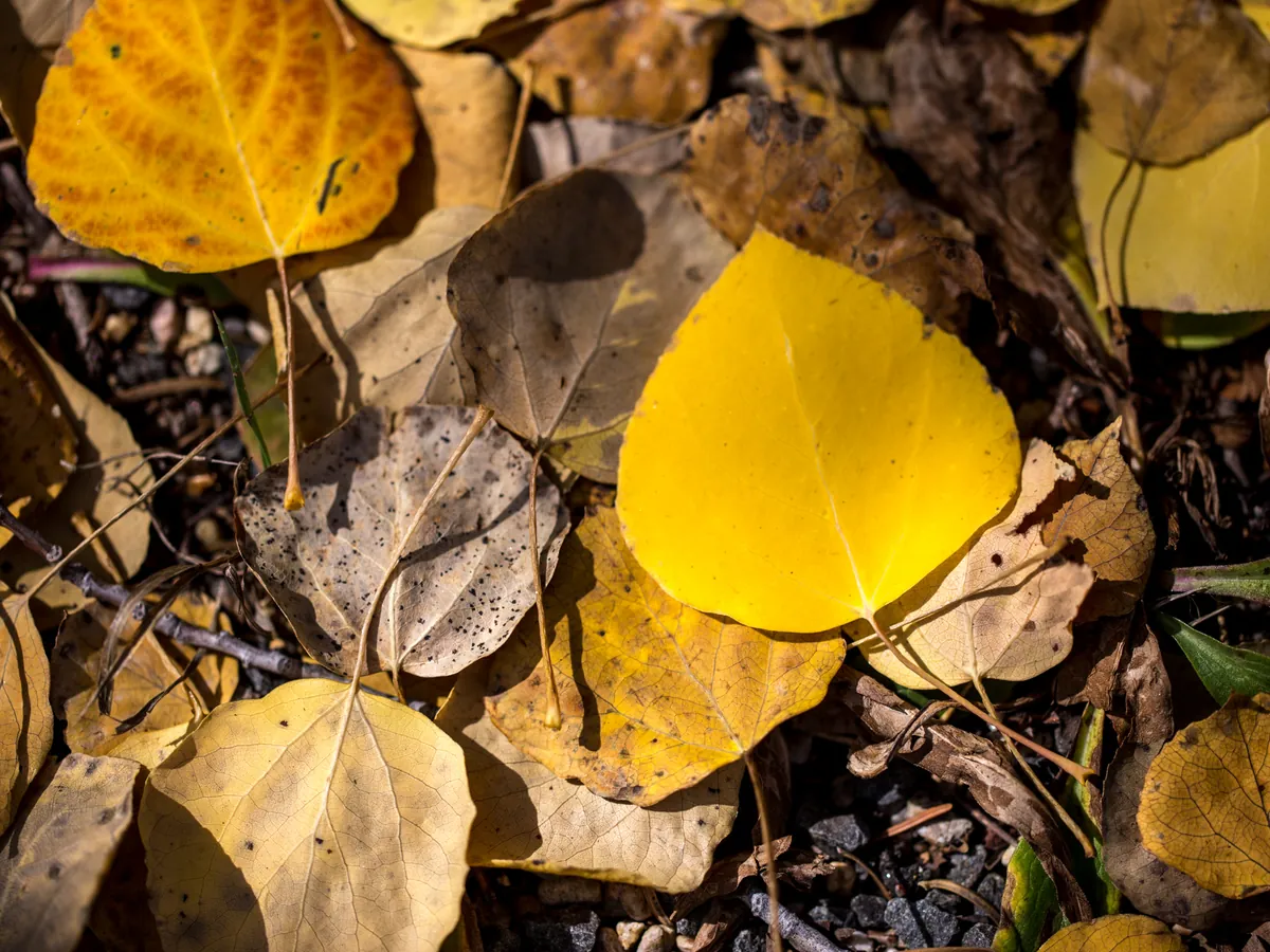
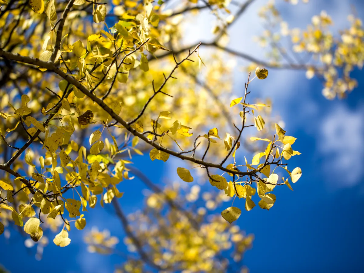
Close-up of yellow aspen leaves in Rocky Mountain National Park
A warm layer for dusk. Rocky Mountain National Park · yellow aspen leaves against dark spruce
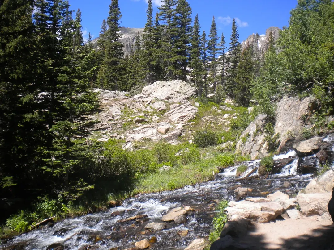
Dream Lake Trail in Rocky Mountain National Park
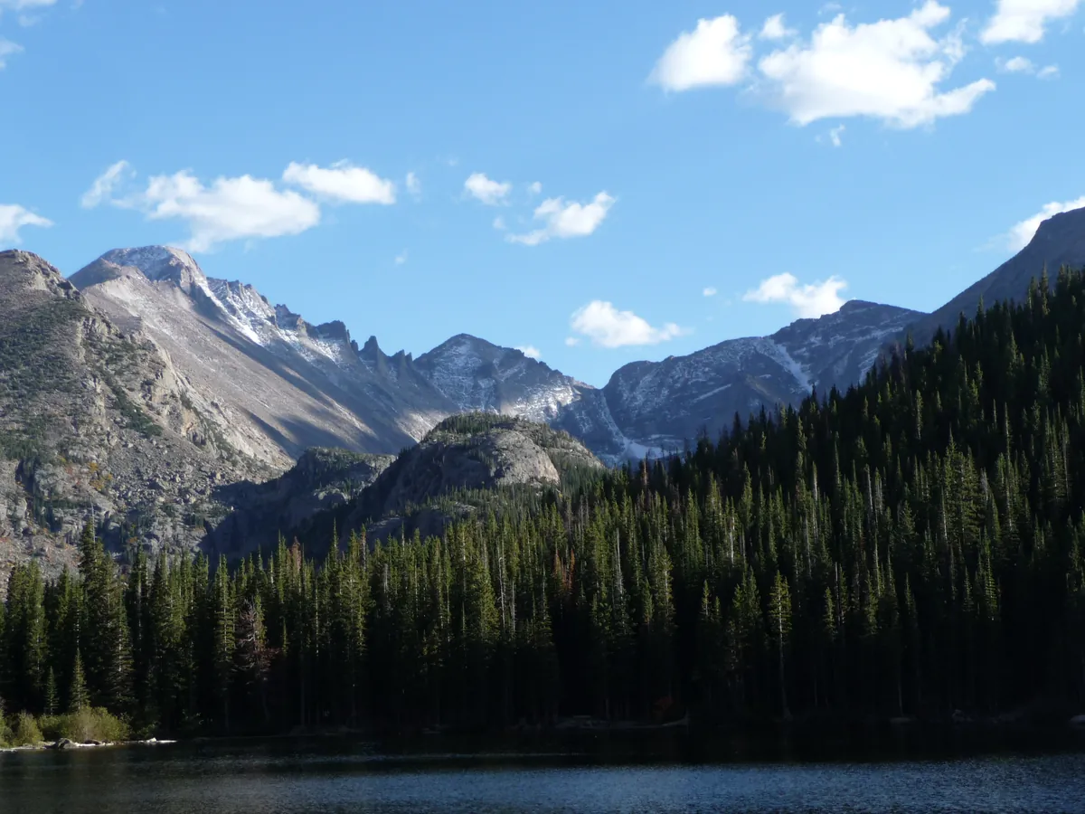
Shoes that grip wet rock. Dream Lake Trail · a hiker’s-eye view of the rocky path above Bear Lake
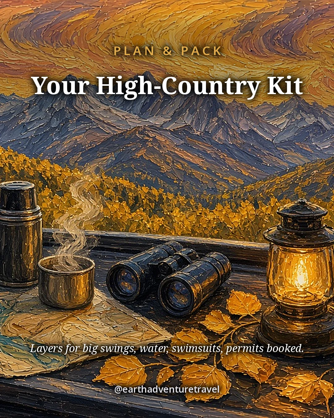
Illustrated packing card titled Your High-Country Kit: a thermos, binoculars and lit lantern on a railing above aspens
Plan & pack · layers, a thermos and binoculars for altitude, elk at dusk and the permits you book ahead

Reservations before flights

Rocky Mountain timed entry, Maroon Bells access and Hanging Lake permits sell out for peak weekends. Screenshot every QR code; canyon and tundra corridors drop cell service.

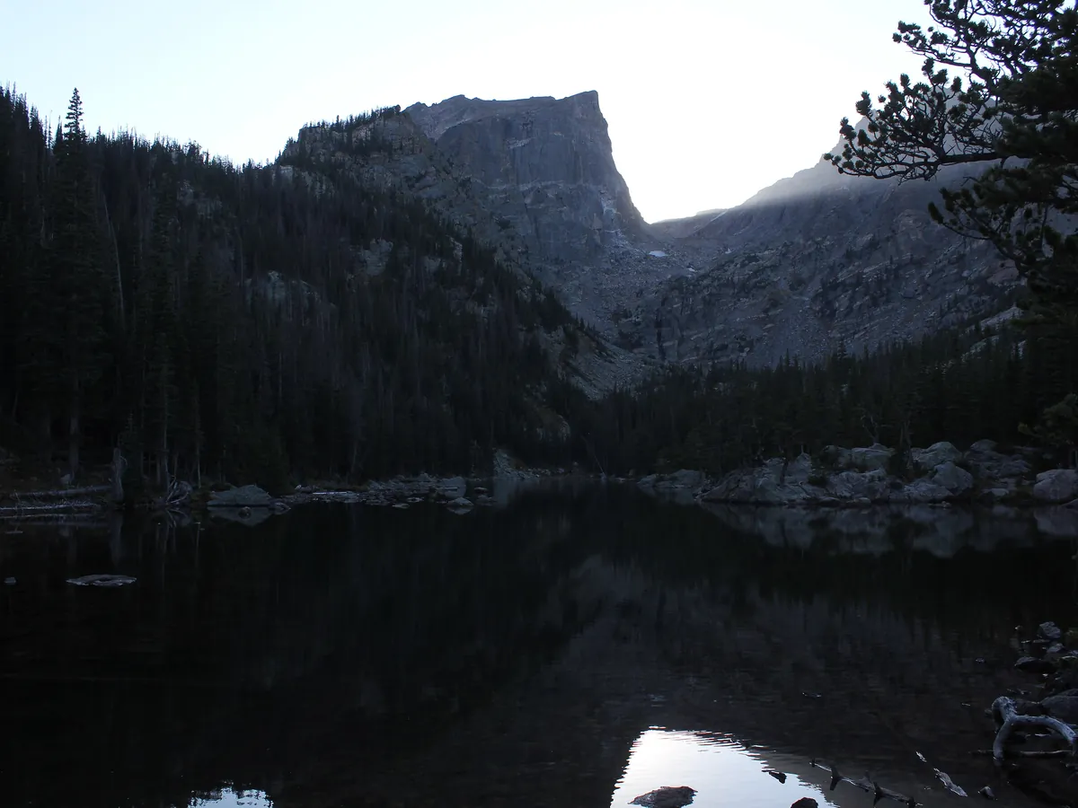
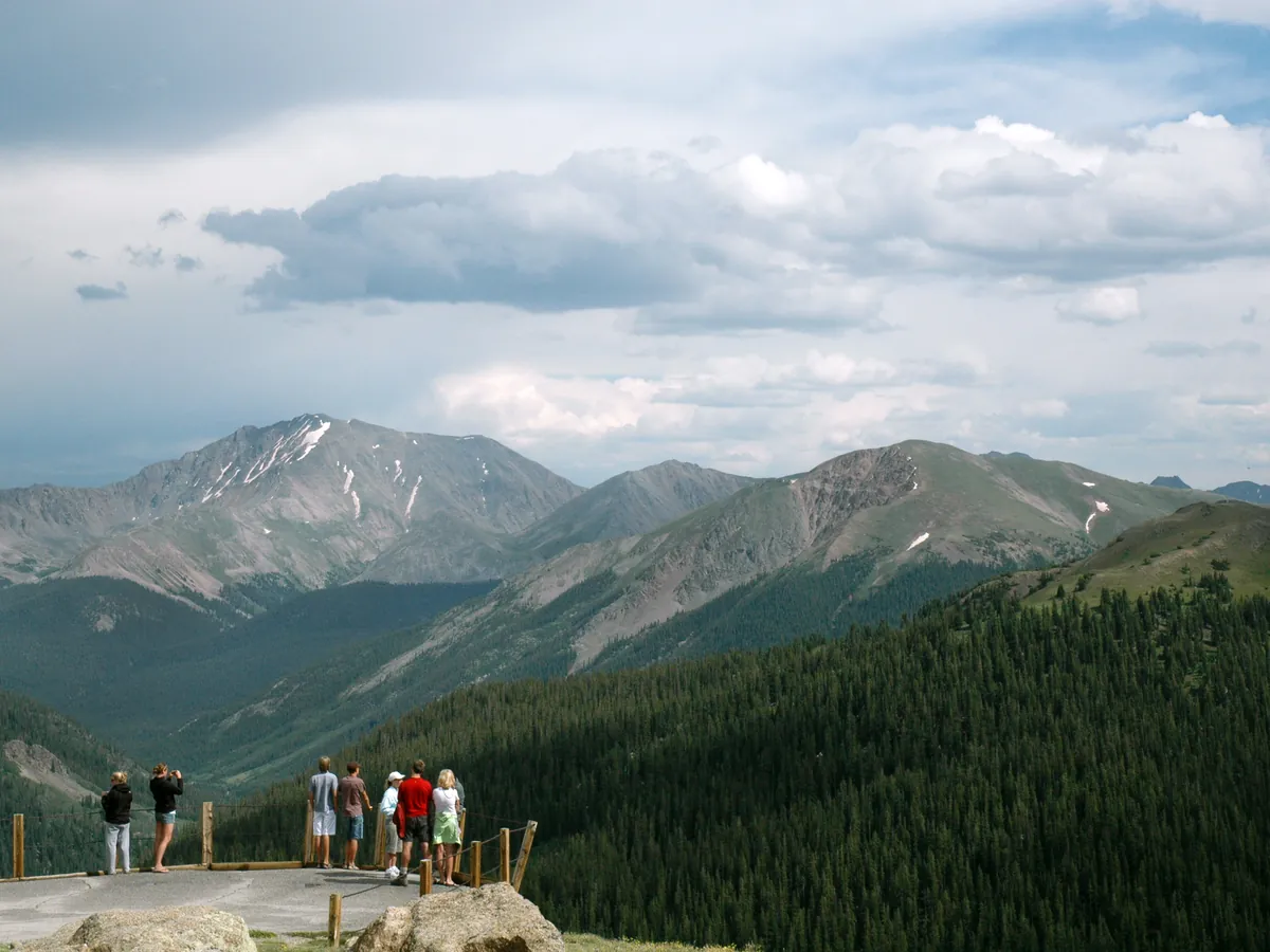
Dream Lake with Hallett Peak beyondGlacier Gorge from Bear LakeIndependence Pass overlook under a wide sky
Above the lakes · Dream Lake, Glacier Gorge and the Independence Pass overlook
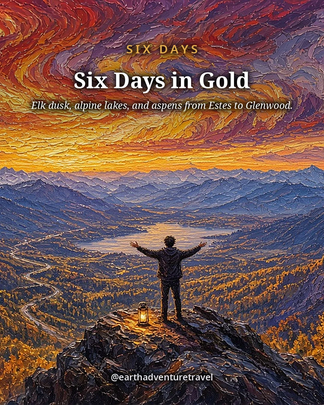
Illustrated recap card titled Six Days in Gold: a teen on a summit under a blazing sunset
The week in gold · Estes Park to Glenwood Caverns in one illustrated sunset

Watch the pass reports

Trail Ridge and Independence Pass close for snow and for the season. Check CDOT and NPS the morning of Day 3, and keep the I-70 backup in the group chat.

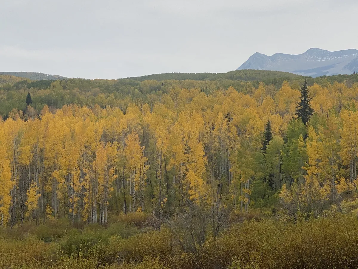
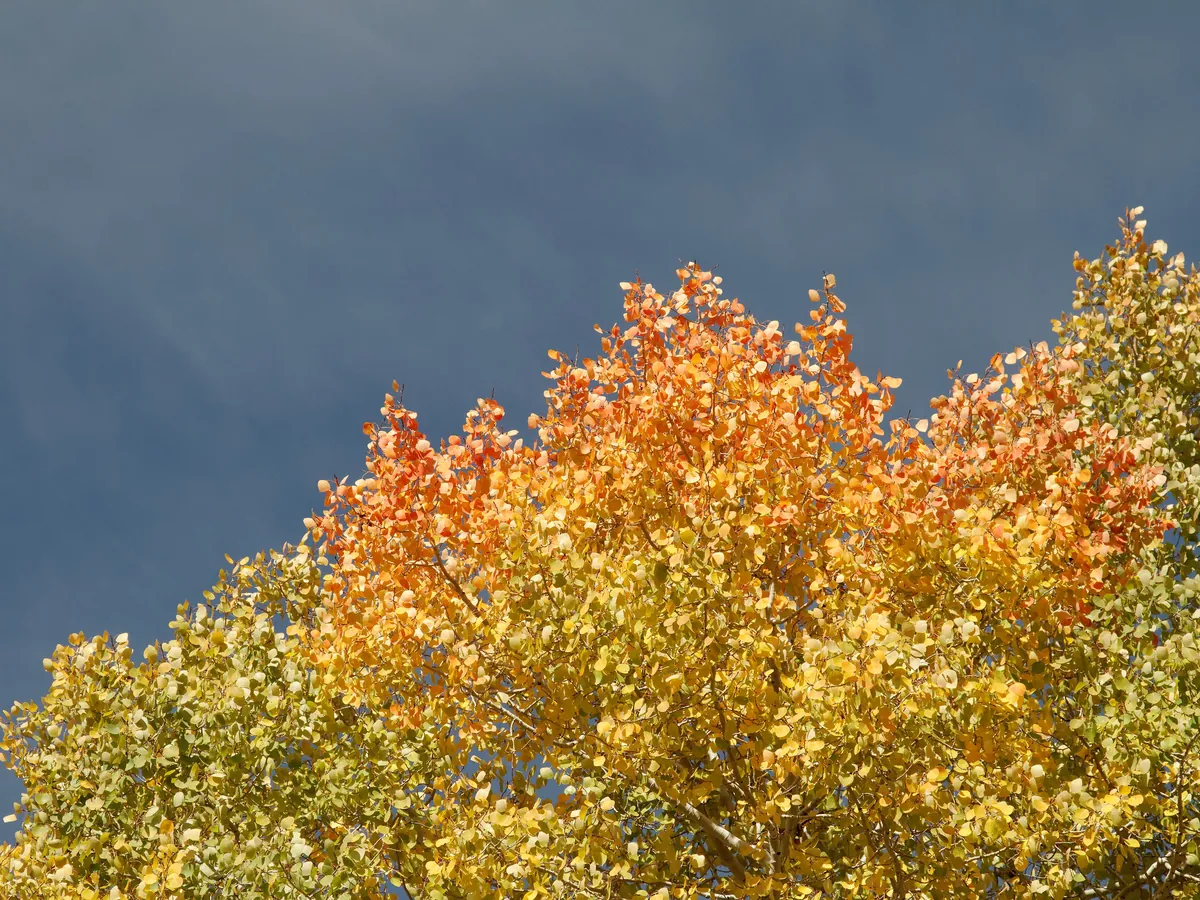
Aspen stands in Somerset County, ColoradoYellow aspen leaves against blue skyGolden aspens in full autumn color
Gold on the slopes · Somerset stands, yellow leaves on blue sky and a full hillside in color

Quick answers

Planning notes

When do Colorado’s aspens peak?

There is no fixed statewide peak. Elevation, latitude, temperature, and storms all matter. Mid to late September is the working window for this route, but check current foliage reports before setting the exact week and be prepared for one area to peak before another.

Is this route realistic with teens?

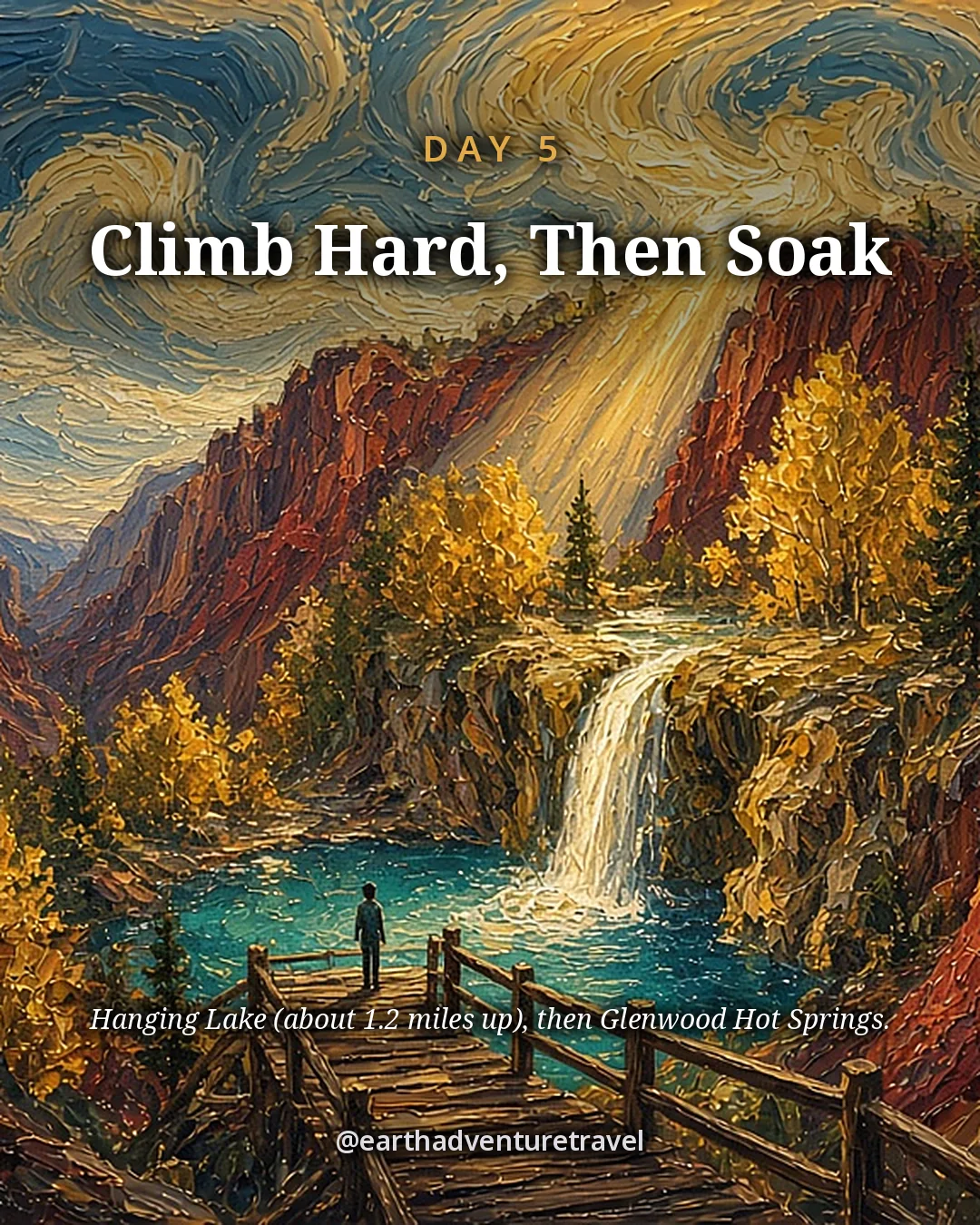
Yes for active teens who are comfortable with long drives and hiking at elevation. Day 3 is a major transfer, and Day 5 is a steep climb. The plan offsets those demands with two-night bases, hot springs, and a flexible final day.

Which reservations should we make first?

Prioritize the Maroon Bells shuttle, then Hanging Lake permits, then Rocky Mountain National Park’s Timed Entry + Bear Lake Road reservation. Lodging in Aspen during peak foliage can also be the largest budget variable, so secure flexible rooms early.

What if Trail Ridge Road or Independence Pass closes?

Do not force the route. Follow official road-status guidance and use the open lower-elevation alternative. Trail Ridge Road and Independence Pass can close temporarily for snow even before their normal seasonal closures.

Can we shorten the hikes?

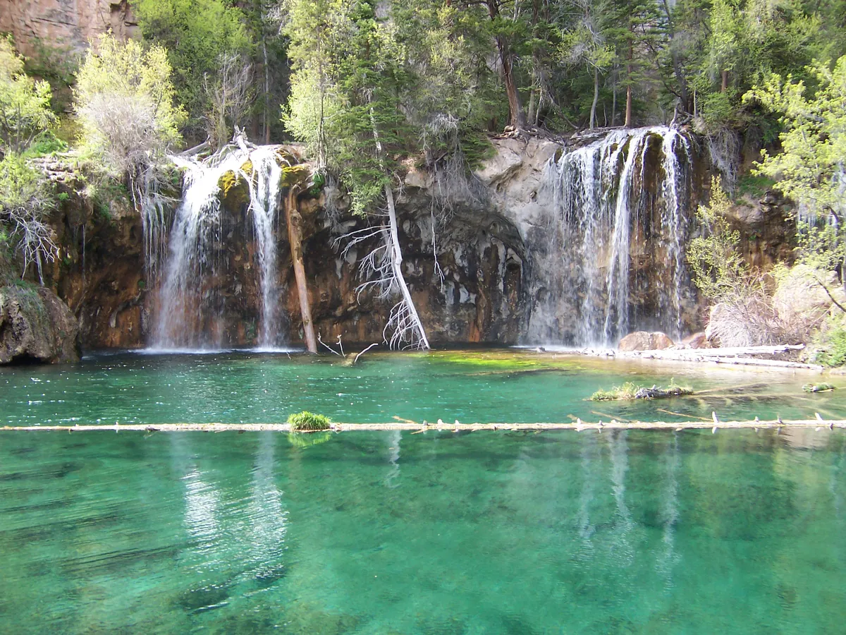
At Bear Lake, turn around at Dream Lake or use the Sprague Lake loop. At Maroon Bells, the lake view arrives without a long approach. Hanging Lake is the least flexible: it is steep from the start, so make the hot springs the alternate plan for anyone who does not want the climb.

Do you need timed entry for Maroon Bells with the shuttle, or only for driving in?

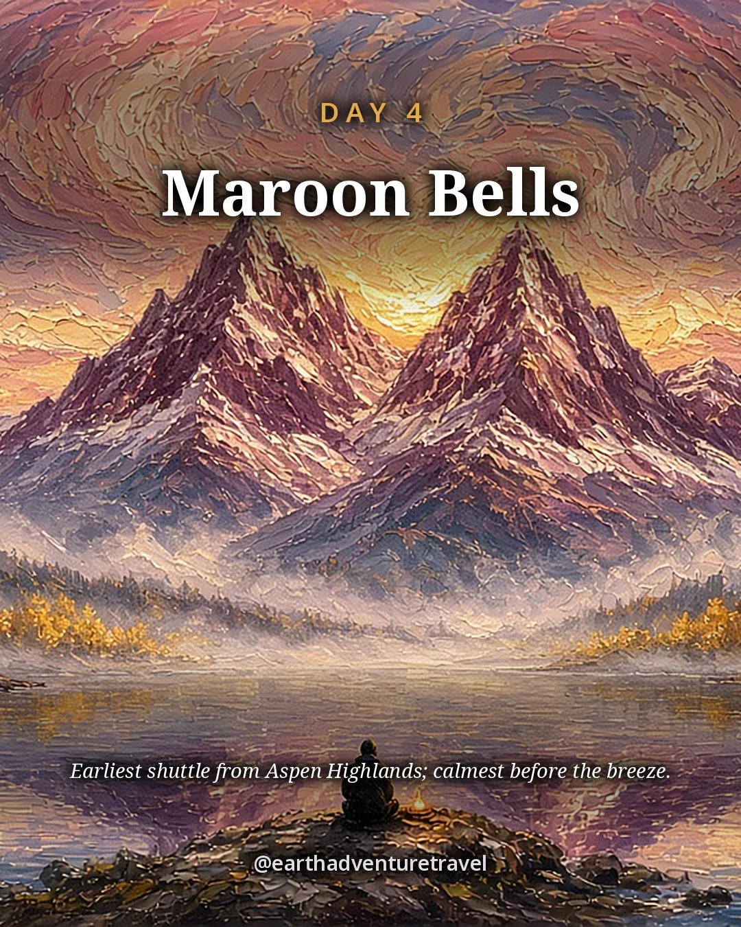
Both. Maroon Bells requires a reservation whether you take the RFTA shuttle (late May to mid-October each year) or drive your own vehicle (to Oct 31, 2026) — book at visitmaroonbells.com. The shuttle is $16 round trip for adults, $10 for kids 12 and under. With a $10 parking reservation you can still drive Maroon Creek Road if you arrive before 8 a.m. or after 5 p.m., when the shuttle-only hours don’t apply — a legit sunrise strategy.

Where's the best spot to hear elk bugling at dusk with teens — Moraine Park or Horseshoe Park?

Both are classic rut meadows, along with Upper Beaver Meadows. Moraine Park is inside the Bear Lake Road Corridor, so before 6 p.m. it needs a Timed Entry + Bear Lake Road reservation; Horseshoe Park needs only the general timed entry between 9 a.m. and 2 p.m. From September 1 to October 31 the meadows are closed to people on foot from 5 p.m. to 10 a.m., so watch from the road, pullouts and designated trails, and stay at least 75 feet from the elk.

How do you prevent altitude sickness in teens flying in from low elevation?

Spend your first 24–48 hours below 8,000 feet before tackling high trailheads — Estes Park (7,500 ft) is a good acclimation base. Push water aggressively, go easy on the first hike, and watch for headaches or nausea, which are early warning signs. Most teens adjust within a day or two. Bear Lake trailhead sits at 9,475 ft, so don't make Emerald Lake your day-one hike.

Which timed entry pass do you need for Bear Lake Corridor hikes like Alberta Falls — and does the park shuttle get you there?

You need the “Timed Entry + Bear Lake Road” permit for any trail off Bear Lake Road, including Alberta Falls, from 5 a.m. to 6 p.m., late May to mid-October each year. Book on Recreation.gov ($2 fee) a month ahead, or snag next-day releases at 7 p.m. Mountain time. The free Park-and-Ride shuttle from Glacier Basin reaches every Bear Lake trailhead. Once you're in you can stay all day.

What are the best fall hikes in Rocky Mountain National Park for teens — Emerald Lake, Cub Lake, or Alberta Falls?

Do all three if you can, in this order: Alberta Falls first (1.6 miles round trip, great acclimation hike), Emerald Lake next (3.4 miles round trip, passes Nymph and Dream lakes, the classic payoff), and Cub Lake last (~5 miles round trip, quieter trailhead, fewer crowds). Emerald Lake is the must-do. All three sit in the Bear Lake Corridor, so one timed-entry permit covers them. Start early — the Bear Lake lot fills by 8 a.m.

Before you set off — the official checks

Timed entry, permits and pass openings change. Confirm current details under official links.

Official sites, not partners. We don't earn from these.

Freedom Passport

Planning your next trip?

Member prices on every Your Edition and Custom Trip, a free Your Edition every quarter, and up to 12 planning questions a month. Partner perks coming soon.

$3.99 a month or $29.99 a year

Join Freedom Passport

References

Research behind this guide

The reporting and research that shaped this itinerary.

Photo credits

Photos via Wikimedia Commons, resized and converted to WebP. The cover, day cards, packing card, recap card and share image are AI-built illustrations: new scenes inspired by the credited photos listed here, not edits of them.

  • Kebler Pass aspens — photo by Aakash sahai, CC BY-SA 3.0; this resized copy is shared under the same license (CC BY-SA 3.0); it is also the basis of the Recap card illustration, shared under the same license (CC BY-SA 3.0)
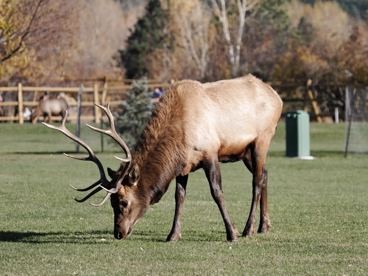
  • Estes Park elk — photo by KimonBerlin, CC BY-SA 2.0; this resized copy is shared under the same license (CC BY-SA 2.0)
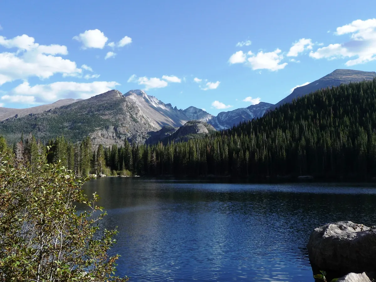
  • Bear Lake — photo by Daniel Mayer (Mav), CC BY-SA 3.0; this resized copy is shared under the same license (CC BY-SA 3.0)
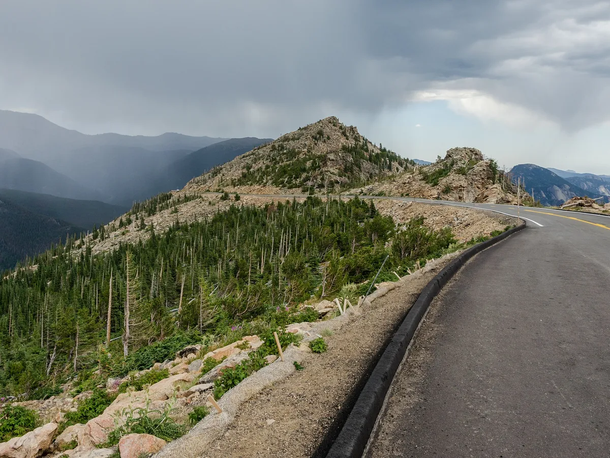
  • Trail Ridge Road — photo by DXR, CC BY-SA 4.0; this resized copy is shared under the same license (CC BY-SA 4.0)
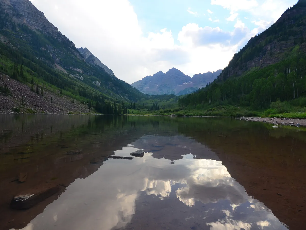
  • Maroon Bells — photo by Sayamindu Dasgupta from Cambridge, MA, United States, CC BY-SA 2.0; this resized copy is shared under the same license (CC BY-SA 2.0)
  • Glenwood Canyon — photo by Joshuahicks (talk · contribs), CC BY-SA 3.0; this resized copy is shared under the same license (CC BY-SA 3.0)
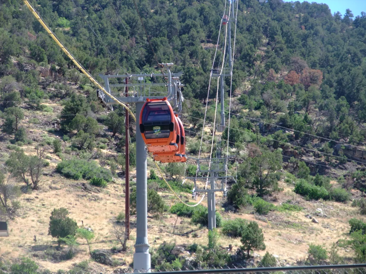
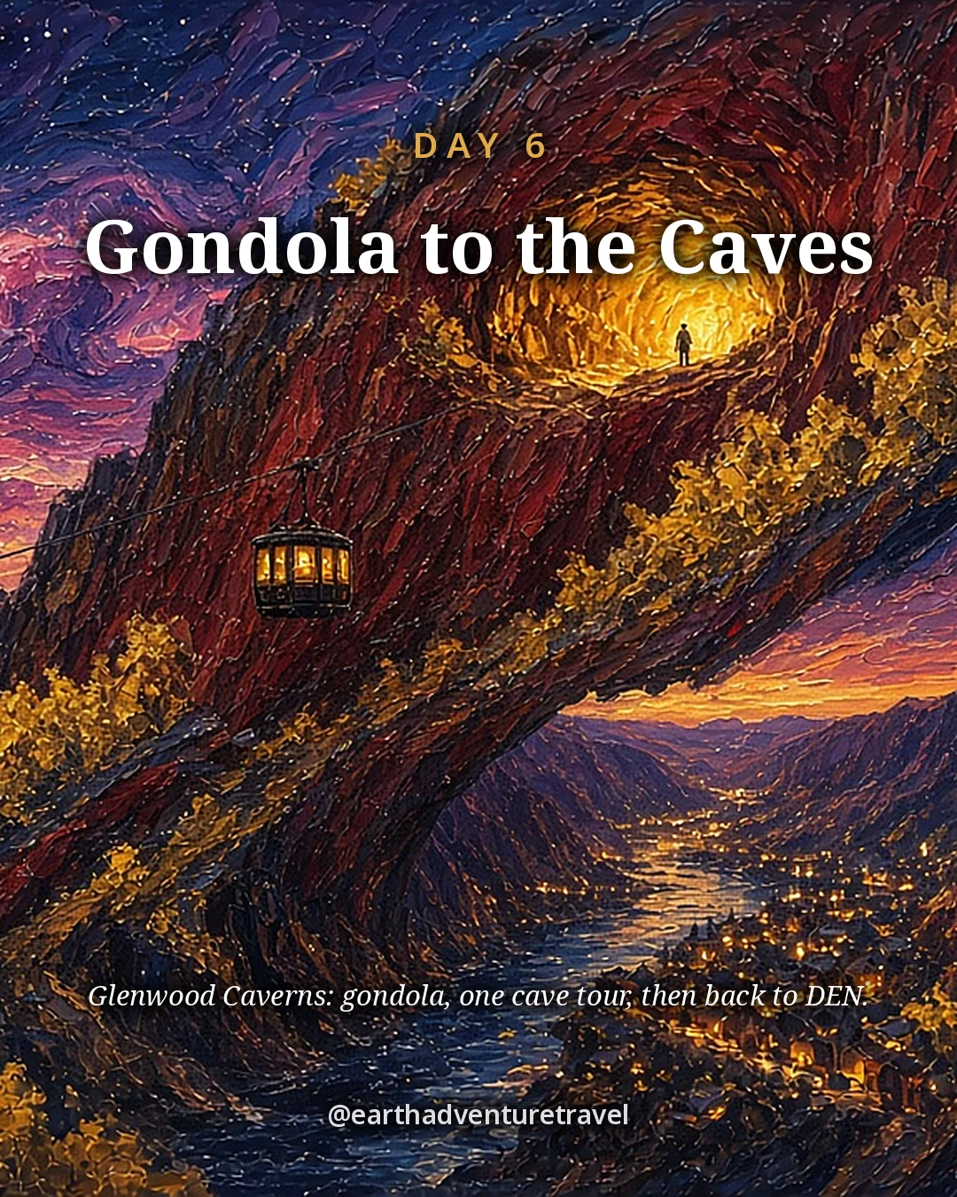
  • Glenwood Caverns gondola — photo by Toshihiro Matsui, CC BY-SA 3.0; this resized copy is shared under the same license (CC BY-SA 3.0); it is also the basis of the Day 6 card illustration, shared under the same license (CC BY-SA 3.0)
  • Aspen leaves — photo by Anne Dirkse, CC BY-SA 4.0; this resized copy is shared under the same license (CC BY-SA 4.0)
  • Dream Lake Trail — photo by U.S. Department of the Interior, CC BY-SA 2.0; this resized copy is shared under the same license (CC BY-SA 2.0)
  • Dream Lake — photo by Nicolas Henderson from Coppell, Texas, CC BY 2.0
  • Glacier Gorge — photo by Daniel Mayer (Mav), CC BY-SA 3.0; this resized copy is shared under the same license (CC BY-SA 3.0)
  • Independence Pass — photo by DimiTalen, CC0
  • Somerset aspens — photo by JPGoldberg, CC BY-SA 4.0; this resized copy is shared under the same license (CC BY-SA 4.0)
  • Aspen and sky — photo by Anne Dirkse, CC BY-SA 4.0; this resized copy is shared under the same license (CC BY-SA 4.0)
  • Golden aspens — photo by KimonBerlin, CC BY-SA 2.0; this resized copy is shared under the same license (CC BY-SA 2.0)
  • Cover and Share image illustrations — based on a photo by MichaelKirsh, CC BY-SA 4.0; this illustrated adaptation is shared under the same license (CC BY-SA 4.0)
  • Packing card illustration — based on a photo by Dcrjsr, CC BY 3.0
  • Day 1 card illustration — based on a photo by NPS Natural Resources, Public domain
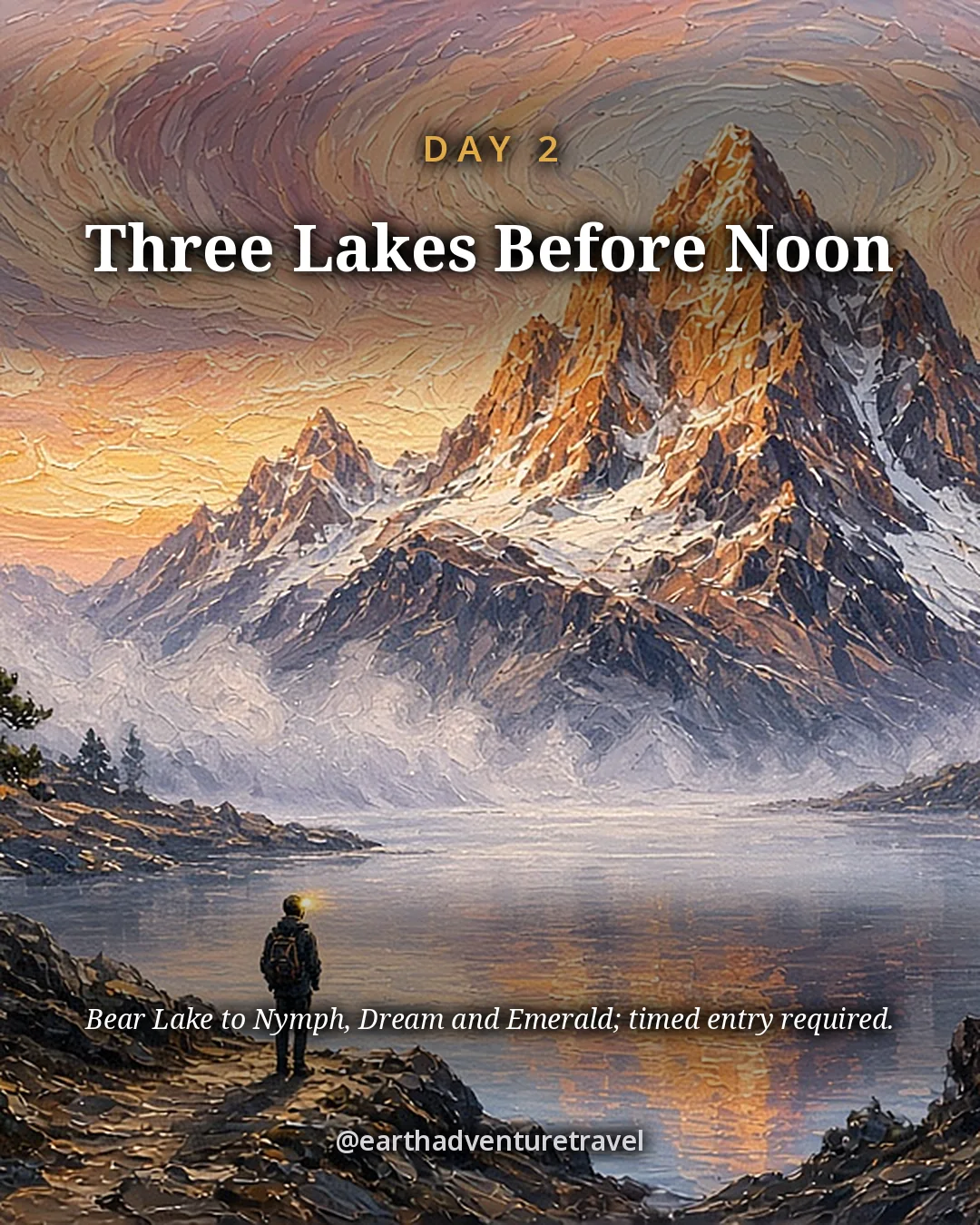
  • Day 2 card illustration — based on a photo by OKJaguar, CC BY-SA 4.0; this illustrated adaptation is shared under the same license (CC BY-SA 4.0)
  • Day 3 card illustration — based on a photo by Brian Zinnel, CC BY-SA 4.0; this illustrated adaptation is shared under the same license (CC BY-SA 4.0)
  • Day 4 card illustration — based on a photo by Lorie Shaull from Washington, United States, CC BY-SA 2.0; this illustrated adaptation is shared under the same license (CC BY-SA 2.0)
  • Day 5 card illustration — based on a photo by Sayamindu Dasgupta from Cambridge, MA, United States, CC BY-SA 2.0; this illustrated adaptation is shared under the same license (CC BY-SA 2.0)
  • Route map — terrain from AWS Terrain Tiles (Mapzen; USGS 3DEP, SRTM); roads and water from US Census TIGER/Line 2024; state context from Natural Earth (public domain); stop locations from OpenStreetMap

The trip index

Choose the landscape. Then choose the pace.

Every guide on the site, filtered the same way everywhere: region, season, who is going, style, trip type and length.

Every guide is listed on All trips (the filters here need JavaScript).

Browse by Where · Who's going · When · Trip type · How long.

Trip types: Festivals & events ·  Anniversaries & milestones ·  Cultural festivals & parades · National parks & wild places ·  State park getaways ·  Waterfalls & gorges ·  Volcanoes & geothermal wonders ·  Stargazing & northern lights ·  Camping & cabins ·  Wildlife watching & birding ·  Desert & canyon parks ·  Mountain & alpine parks ·  Coastal & island parks ·  Forests, rainforests, caves & wetlands · Road trip ·  Historic route ·   Route 66 ·   Natchez Trace Parkway ·  Mountain & scenic byways ·   Blue Ridge Parkway ·  National park road trip ·  Road trip abroad ·  Coastal drives ·   Pacific Coast Highway ·  Desert & canyon drives ·  Ferry & island road trip · Active & adventure trip ·  Paddling, kayaking & rafting ·  Snowshoeing, dog sledding & winter sports ·  Hiking & backpacking ·  Biking & rail-trails ·  Multi-sport adventure trip · City trip & culture ·  Live music & nightlife ·  Theme parks & family attractions ·  Museums: art, science & history ·  Film, TV & literary trip ·  Architecture & design ·  Theater & performing arts ·  Big cities ·  Smaller cities ·  Cities near the outdoors · Scenic train rides ·  Heritage & excursion railroads ·  Long-distance rail journeys ·  Car-free trip by train ·  Rail journeys abroad · Mountain getaways & ski ·  Ski trip ·  Snowy escapes without skiing ·  Summer mountain towns ·  Red rock & desert mountain towns ·  Alps, highlands & big ranges abroad · Spa, cruise & splurge trip ·  Wellness retreats & yoga ·  Spas & hot springs ·  Cruises, river & canal boats ·   Ocean cruises ·   Alaska Inside Passage cruise ·  Splurge trip ·  Slow, restful trip · History & culture ·  Lighthouses, forts & sea history ·  Castles & old towns ·  Mansions & grand estates ·  Ancient sites & ruins ·  Civil War sites ·  Historic small towns & covered bridges ·  Presidential & military history ·  Pilgrimages & sacred sites ·  Old West, ghost & mining towns ·  Civil rights & Black history ·  Colonial & Revolutionary history ·  Native American & Indigenous heritage · Beach vacations & islands ·  Snorkeling & diving ·  Beach towns ·  Island hopping ·  Tropical islands & the Caribbean ·  Mediterranean coasts & islands ·  Rugged coastlines ·  Surf towns · Food & wine trip ·  Markets, street food & food halls ·  Breweries & distilleries ·  Seafood & coastal eating ·  Fine-dining splurges ·  Wine country ·  Farm-to-table, orchards & cider ·  Coffee, cheese & sweet treats ·  Food cities (US & Canada) ·  Regional American food ·   Barbecue trails ·   Tex-Mex & Southwest flavors ·   Southern, Cajun & Creole cooking ·  Eating your way abroad ·   Japanese food ·   Italian food ·   Mexican food ·   French food ·   Spanish & Portuguese food ·   Southeast Asian food ·   Korean food ·   Central European food ·   Irish & British food · Bucket-list trip ·  Machu Picchu & the Inca Trail ·  Camino de Santiago ·  Iceland Ring Road · By departure city ·  From New York City ·  From Los Angeles ·  From Chicago ·  From Washington, DC ·  From Boston ·  From San Francisco Bay Area · By travel time ·  Under 2 hours by car ·  2 to 4 hours by car.