Gentle family escape · Tennessee to North Carolina

5 Days in the Smoky Mountains with Little Kids · 2026

Waterfalls, elk, creek play and easy mountain trails, paced for children ages four to nine and the adults carrying the snacks.

5 days / 4 nightsLate May–August or mid-September–OctoberWalks of 2.5 miles or less
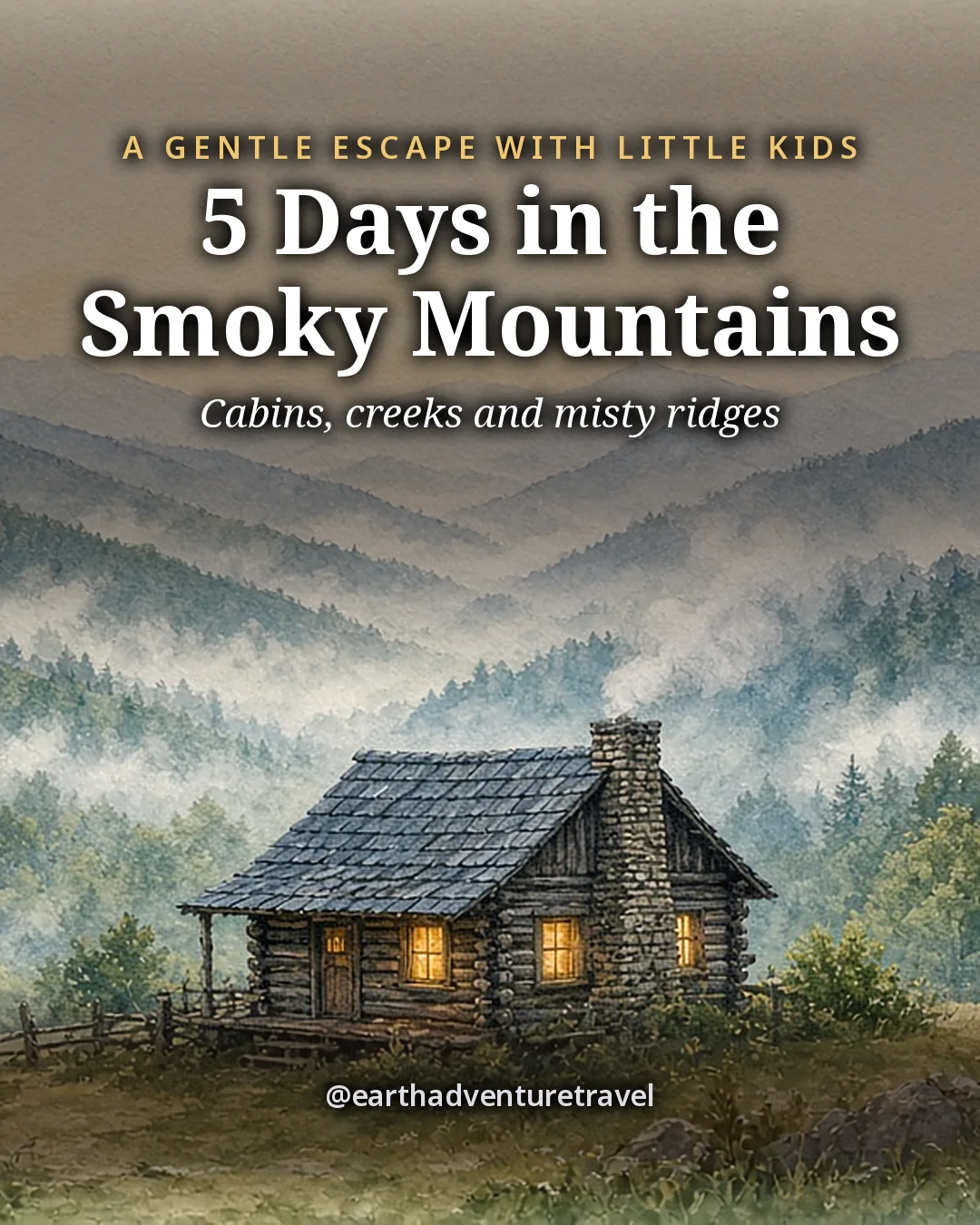
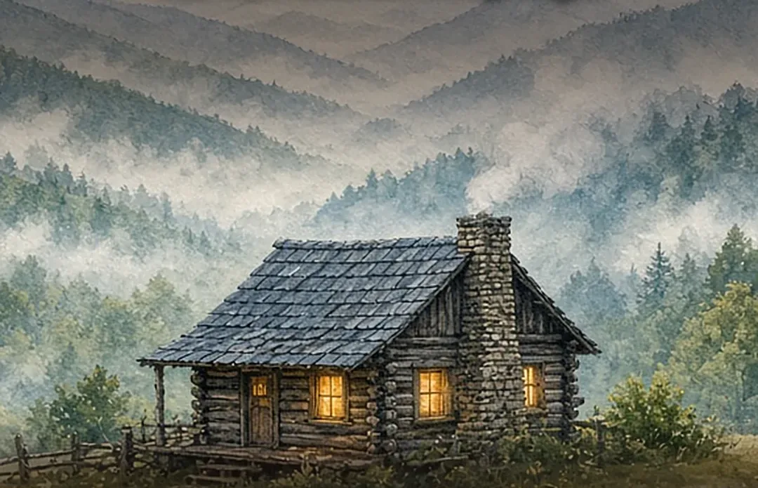
Illustrated cover titled 5 Days in the Smoky Mountains: 5 Days in the Smoky Mountains
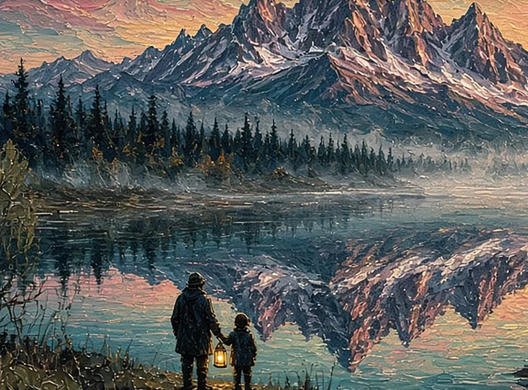
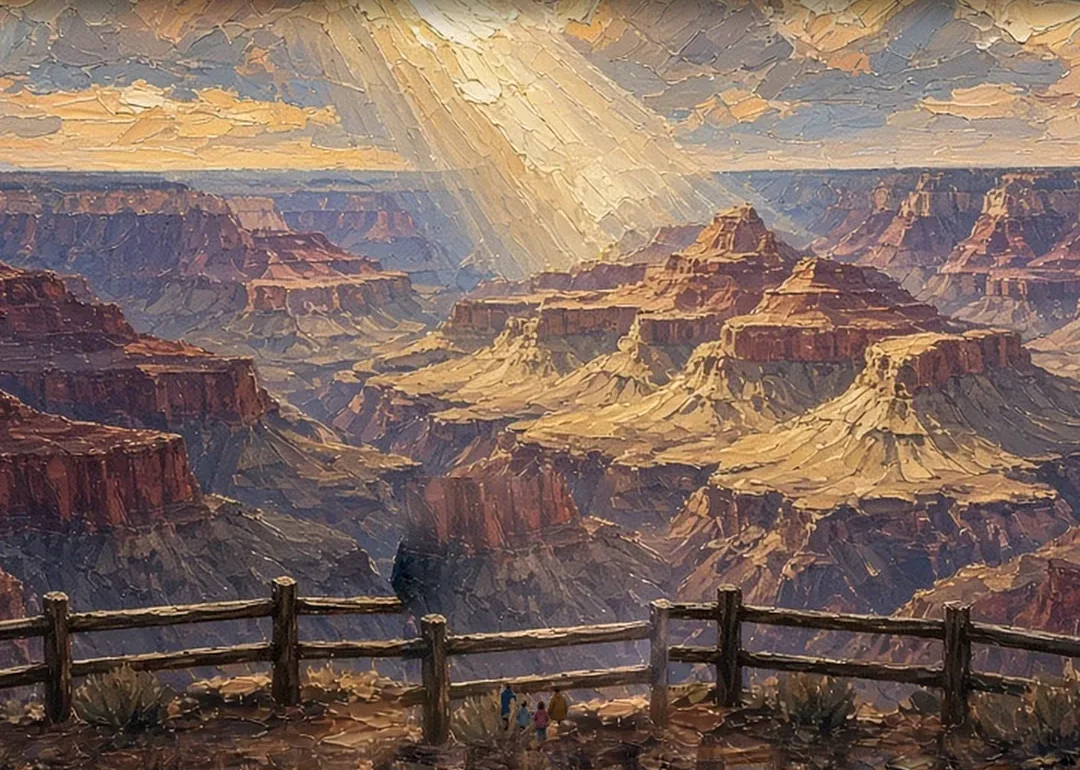
Original itinerary artwork

Reviewed How we verify

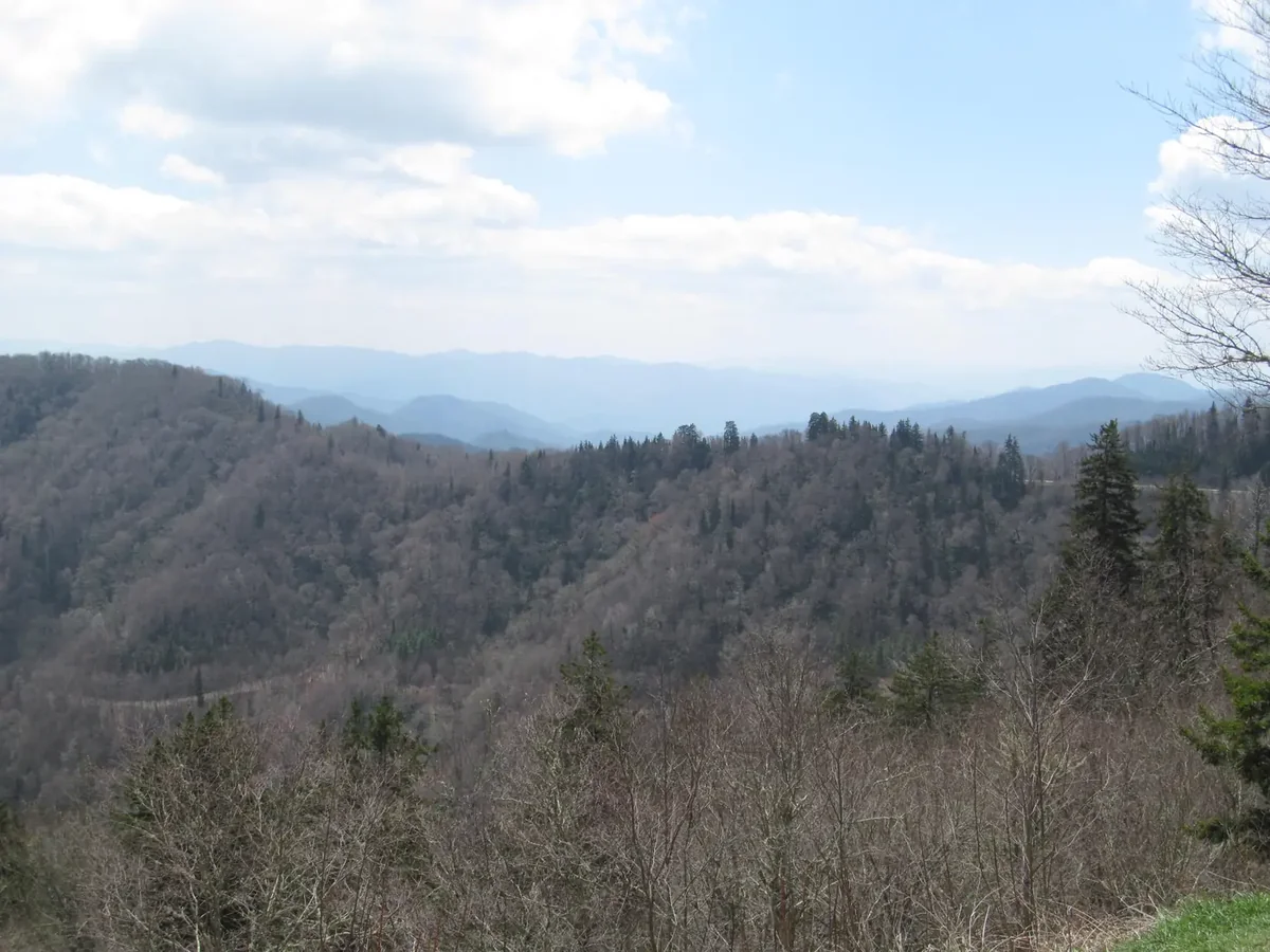
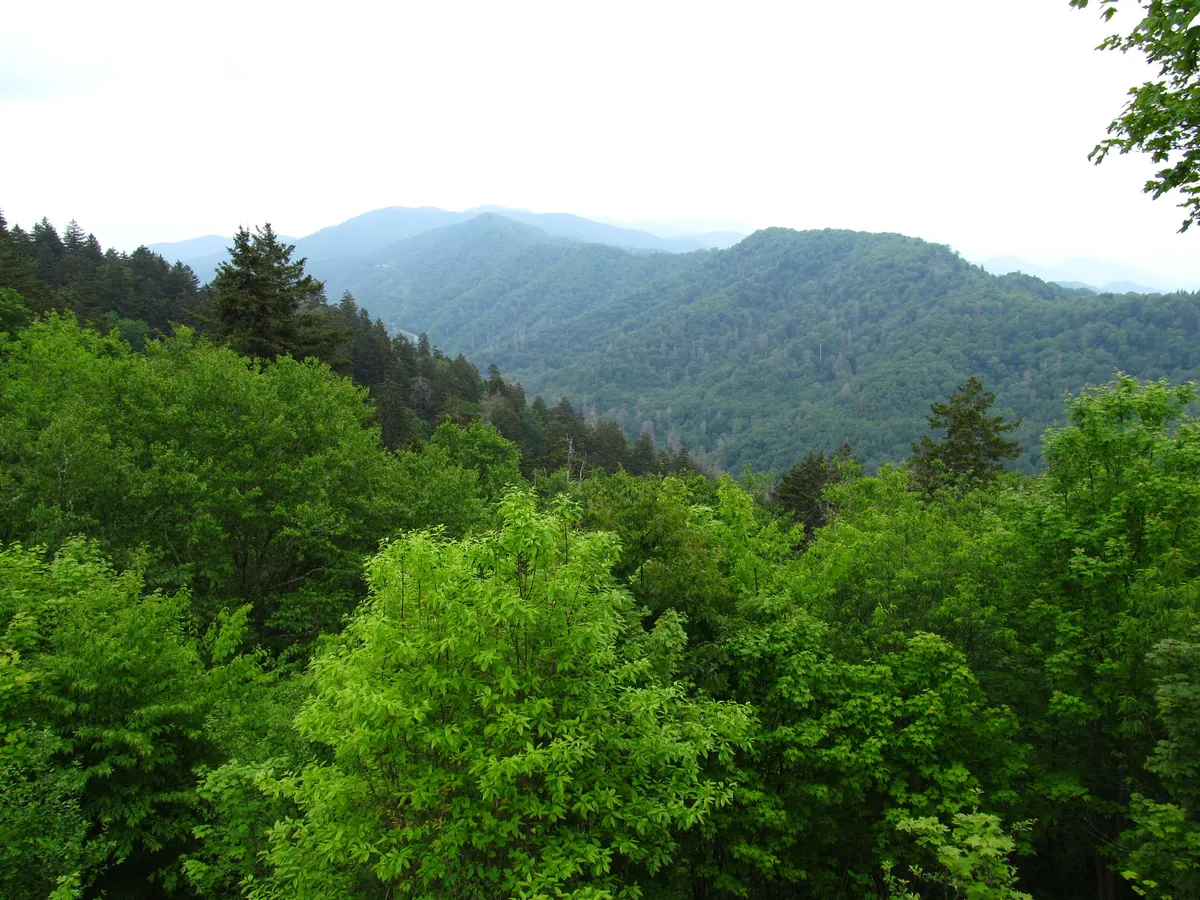
Blue ridgelines layered into the distance from Newfound Gap in Great Smoky Mountains National Park
Ridges from Newfound Gap · the blue haze that gave the Great Smoky Mountains their name

The idea

Small legs. Big mountain memories.

The idea: the Great Smoky Mountains can feel made for ambitious hikers, but families with young children do not need to chase mileage to find the magic. This route builds each day around one clear wonder: animals in a wide valley, a waterfall beside an old rail bed, a road that crosses a mountain range, grazing elk, or a creek shallow enough to become the afternoon’s whole world.

The trip moves slowly from Townsend or Gatlinburg, Tennessee, across Newfound Gap to Cherokee and Bryson City, North Carolina. Two home bases keep packing manageable. Most walks are short and forgiving, and the scenic driving day places overlooks exactly where little travelers need a reset.

There is still real adventure here. Children can step into two states at once, work toward a Junior Ranger badge, hear cascades before they see them, and look for elk from a safe pull-off. The trick is to stop while everyone is still having fun, and leave room for the unplanned creek, picnic or patch of fog that becomes the family story.
On this trip

A Sense of Place

Culture, food, history and traditions for each place you’ll walk.
On this trip

A Sense of Place

Culture, food, history and traditions for each place you’ll walk.

The trip in 60 seconds

Under this sky

The Season Here

Cades Cove to Newfound Gap · two places

Typical November highs sit around 58°F, with nights near 34°F.

  1. NovemberThis monthTypical high 58°, low 34°
  2. DecemberNextTypical high 50°, low 29°
  3. JanuaryThenTypical high 47°, low 27°
See the full 14-day forecast

The next three months

Sky & weather

Forecast for Cades Cove and Gatlinburg

Forecast · refreshes daily

Sun today

Sunrise–Daylight–Sunset–

Sun times load with the forecast.

Typical by month

MonthHighLowHigh / lowWhat to expectExpect
Jan47°27°47° / 27°Coldest month; snow possibleColdest
Feb51°29°51° / 29°Winter; days near 51, nights near 29Winter
Mar59°35°59° / 35°Spring; days near 59, nights near 35Spring
Apr69°42°69° / 42°Spring; days near 69, nights near 42Spring
May75°51°75° / 51°Spring; days near 75, nights near 51Spring
Jun80°59°80° / 59°Summer; days near 80, nights near 59Summer
Jul83°63°83° / 63°Wettest month; about 6.3 inWettest
Aug82°62°82° / 62°Summer; days near 82, nights near 62Summer
Sep78°56°78° / 56°Fall; days near 78, nights near 56Fall
Oct68°44°68° / 44°Fall; days near 68, nights near 44Fall
Nov58°34°58° / 34°Fall; days near 58, nights near 34Fall
Dec50°29°50° / 29°Winter; days near 50, nights near 29Winter

Typical: NOAA 1991–2020 U.S. Climate Normals.

The route

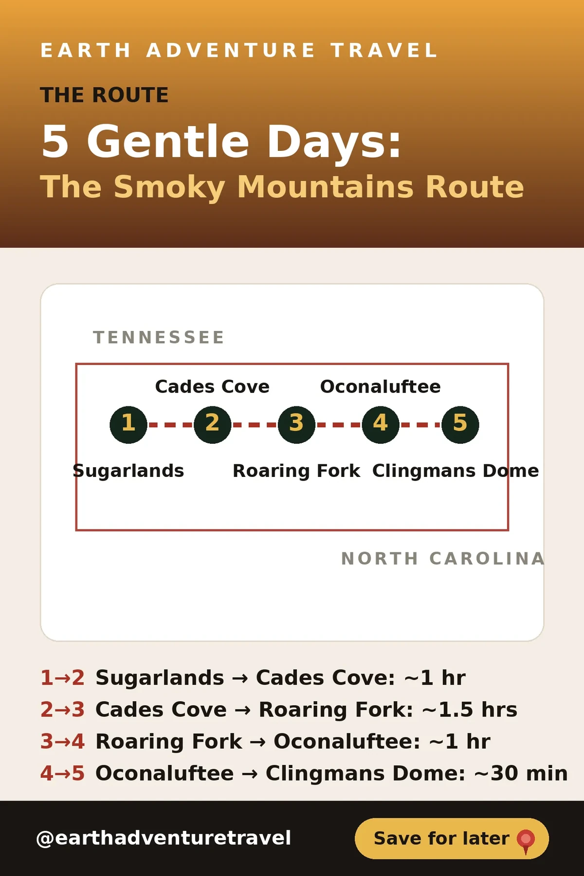
Five days, two states, one gentle pace

The budget is a planning range, not a quote. Lodging varies sharply by season. Weather, road work, wildlife activity and trail closures can change the best order of days, so check park conditions before each outing.

Make it yours

Two ways to make this trip yours.

Free with an account: this guide as written, with its map and day-by-day plan.

Fits this guide

Your Edition

Same place, same length. Fitted to your group, season and pace.

From $7.99Members $5.99 · Join Freedom Passport · Member price applied

This 5-day guide: $9.99 · members $6.99

  • This guide’s route, re-paced for who’s coming
  • Food hotspots and picks along the way
  • An occasion moment for a birthday, anniversary or first trip
  • Group notes, season notes, packing list and playlist
  • Lives on its trip page and in the app

Uses the guide’s illustrations. No new artwork.

Get Your Edition

Custom Trip

Any combination of places, built from scratch.

From $39Members $29 · Join Freedom Passport · Member price applied

Getaway $39 · Journey $69 · Grand Journey $119

  • Any combination of locations, not limited to a prebuilt itinerary
  • A deeper dive: 3 full itineraries a day, Saver, Sweet spot and Splurge
  • Its own custom artwork, made for your trip
  • Any length up to 21 days, with a trip page and a PDF
Get a Custom Trip

Your Edition fits this guide to your group. A Custom Trip goes deeper: any combination of locations, with its own custom artwork.

Freedom Passport members pay $6.99 and up for Your Edition and from $29 for a Custom Trip. See Freedom Passport

Member prices on every Your Edition and Custom Trip, plus a free Your Edition after 3 paid months (monthly plan). Partner perks coming soon.

Compare side by side

Illustrated travel journal with a winding route and pinsCustom Trip

How we tailor your Smoky Mountains plan

A plan that knows how you travel.

3 full itineraries in every plan, Saver to Splurge, so you can pick or mix.

🌙 Your rhythm

We put the longest outing in the morning, before nap time and tired legs.

🥾 Your needs

Bringing a stroller? We pick stops with stroller-friendly paths.

🌄 Your kind of day

Kids restless in the car? We break up long drives with a stop worth seeing.

3 full itineraries in every plan

Saver, Sweet spot and Splurge, each a complete day-by-day plan. Pick one or mix.

All 3 in your plan
$SaverSmart value
$$Sweet spotGood balance
$$$SplurgeTreat yourself
See it in a sample plan

Yours from $39. Members $29.

Every plan is built around you, your pace and your must-dos.

Longer trips: 15–100 days $127–$807, members $84–$509.

Journey (4–8 days) · $69 · members $49

Art & photos

  • 8 original illustrations of your trip's highlights
  • 14 destination photos to preview each stop1 cover · 6 daily · 7 postcards

Planning

  • Timed itinerary so every day runs at an easy pace
  • 3 full itineraries Saver, Sweet spot and Splurge, so you can pick or mix
  • 3 curated stays per stop to match your budget
  • Where to eat for breakfast, lunch and dinner, plus local tips every day
  • Tap-to-go routes to every hotel, activity and restaurant, opening straight in your maps app
  • Booking timeline so you book the right things in the right order
  • Packing list made for every traveler coming
  • 6 rainy-day backup plans so a wet day still feels like vacation

Your plan, your way

  • Digital trip page in your account, on any device
  • PDF to save, print or share
  • Trip playlist with song links for Spotify and Apple Music
  • Calendar file that drops every day into your calendar
  • Budget estimate so you know the cost before you go
  • 1 free refinement to tweak anything after delivery

Full refund any time up until delivery of the plan. Report a wrong fact and we’ll correct it and send you an updated plan, free. 1 free refinement after delivery (2 on Grand Journey)

Our promise

  • Full refund any time up until delivery of the plan. Change your mind any time before your plan is delivered and we’ll refund you in full. If you report a wrong fact in your plan, we’ll correct it and send you an updated plan, free.
  • One free refinement after delivery (two on Grand Journey). Tell us what to change and we’ll refine it.
  • Spotted an error? Tell us which fact on this page looks wrong and we’ll review it.

The people behind the plans

Who is Earth Adventure Travel?

We build routes for real life — wrangling kids, spanning generations, or heading out solo — and review key details regularly. Things change and we can miss some, so we link the official sources for you to confirm before you go.

Learn About Us

Before you go

Plan & pack

Pack for water. Plan for change.

  • Rain jackets. Summer afternoons bring storms.
  • Water shoes. For creek play at Tremont and Deep Creek.
  • Layers for Newfound Gap. It is cooler and windier up top.
  • A printed parking tag on the dashboard. Required for any stop over 15 minutes; a phone screenshot does not count.
  • Binoculars. Watch bears and elk from a legal distance.
  • Snacks and refillable bottles. Food is scarce inside the park.
  • Dry clothes in a zip bag. Someone will get wet.
  • The Junior Ranger guide. Buy it at a visitor center on day 1 or 2.
Blue haze closing over the ridgeline at Newfound Gap
Mountain haze. Blue haze can close over a ridgeline in minutes, so layers and a rain shell earn their space
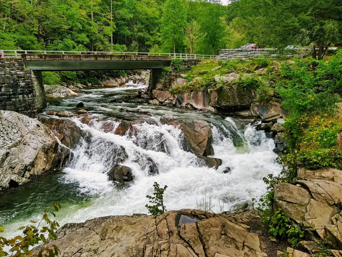
The Sinks waterfall pouring into a pool on the Little River
Slick rocks. The Sinks on the Little River · waterfall rocks stay slick even on dry days, so grippy shoes matter
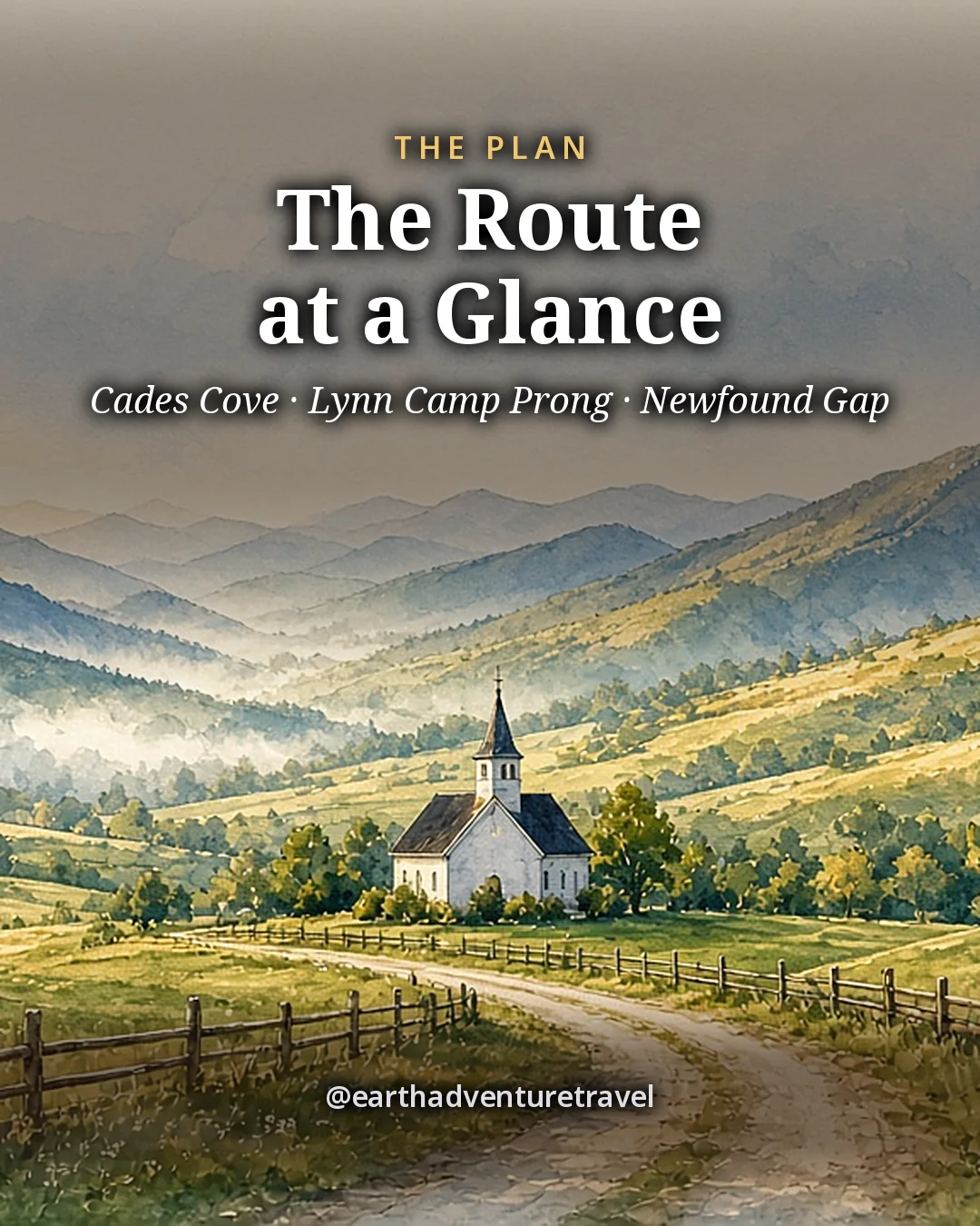
Illustrated plan card titled The Route at a Glance: Trip-at-a-glance card for the five-day Smoky Mountains route
Save the plan · Cades Cove, a cascade walk, Newfound Gap, Oconaluftee elk and Deep Creek in five days

The plan, on one card

All five days on one card: the anchor outing for each day and the parking tag to buy first.

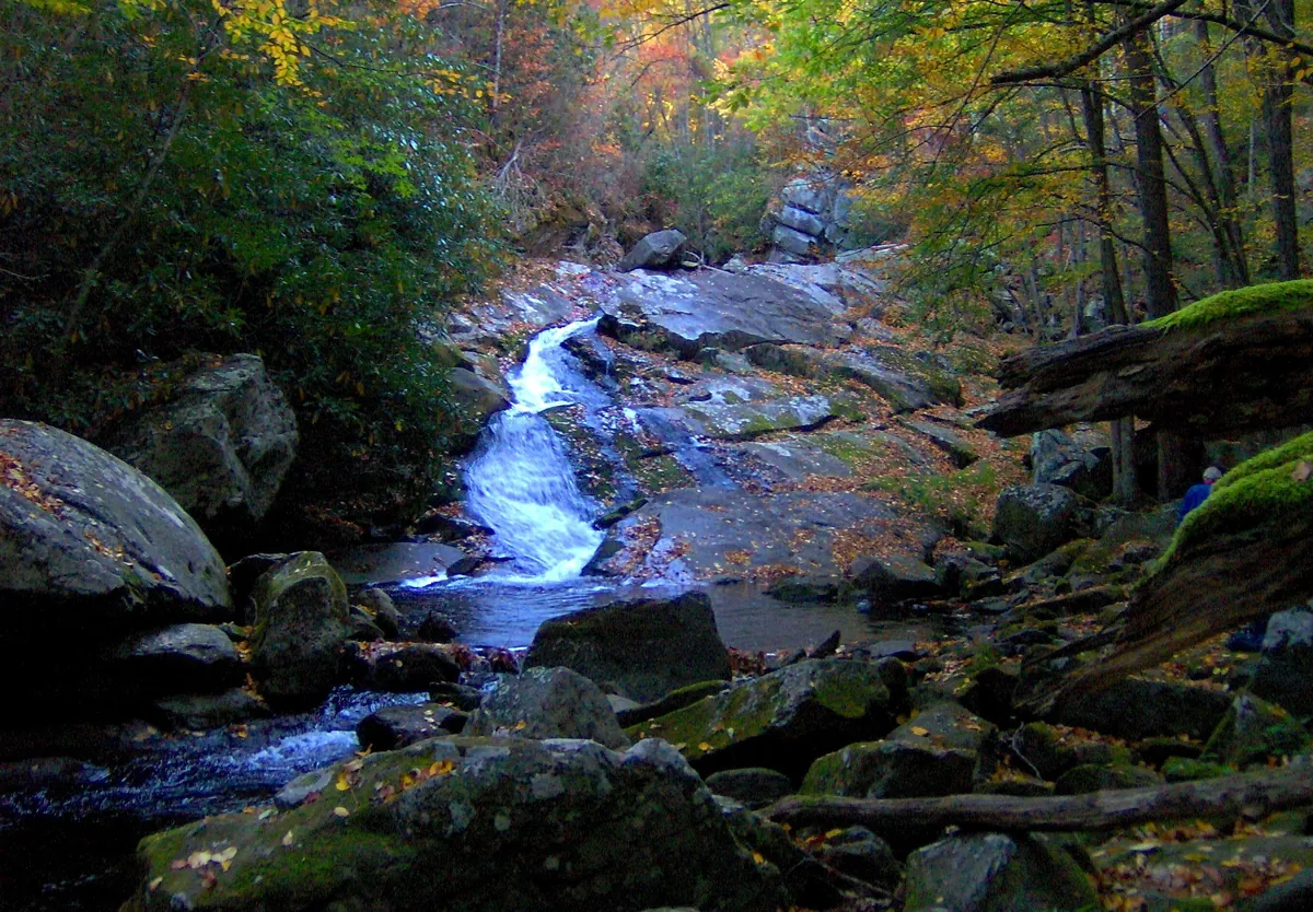
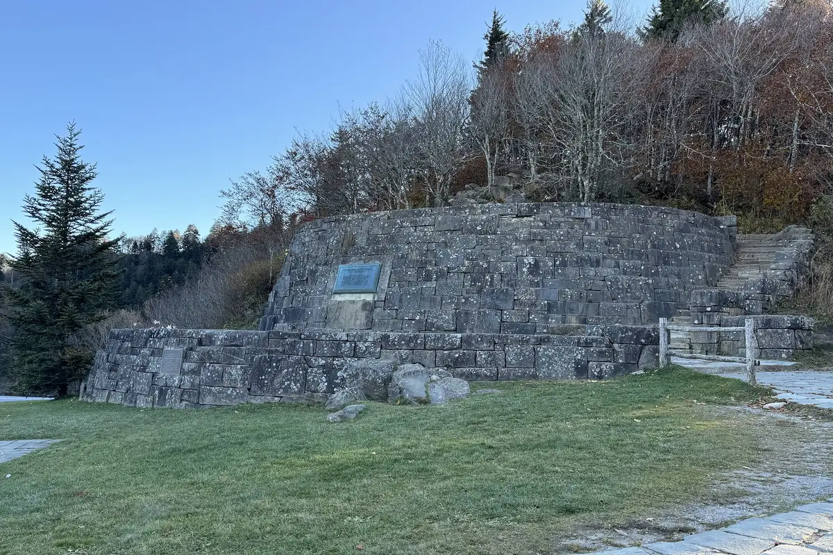
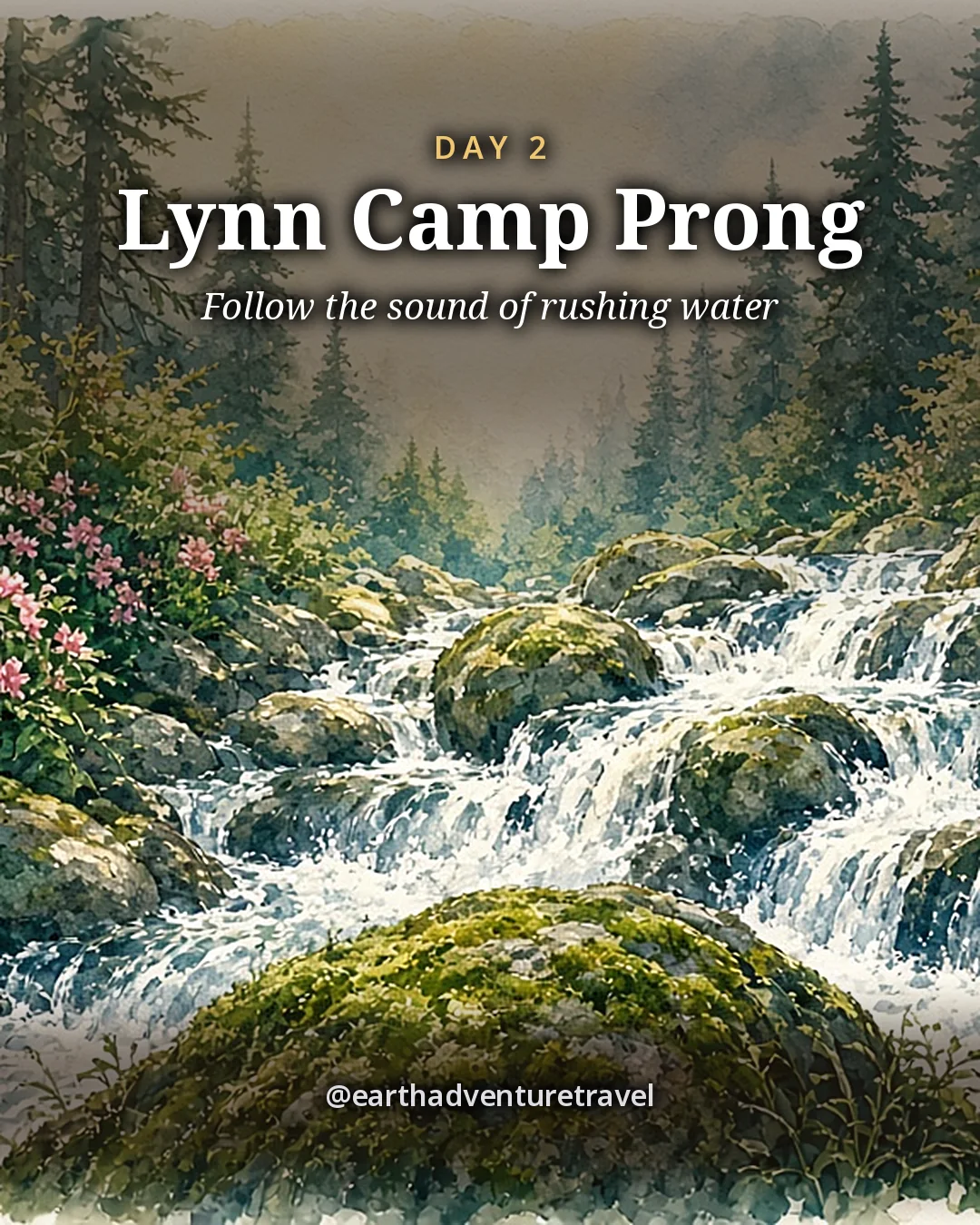
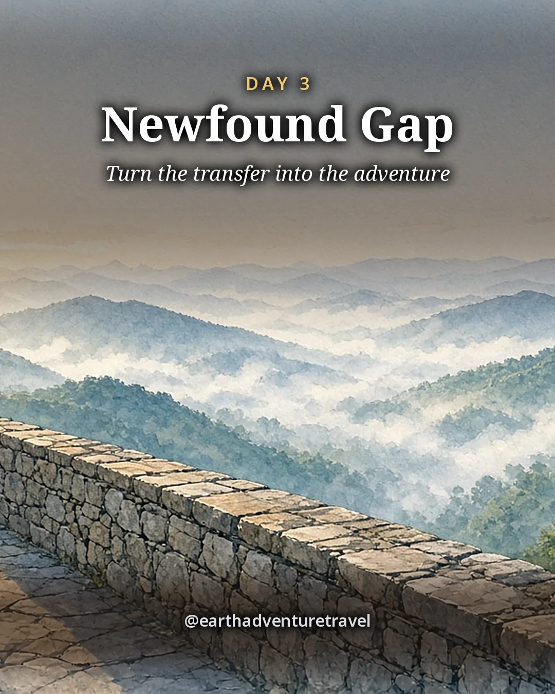
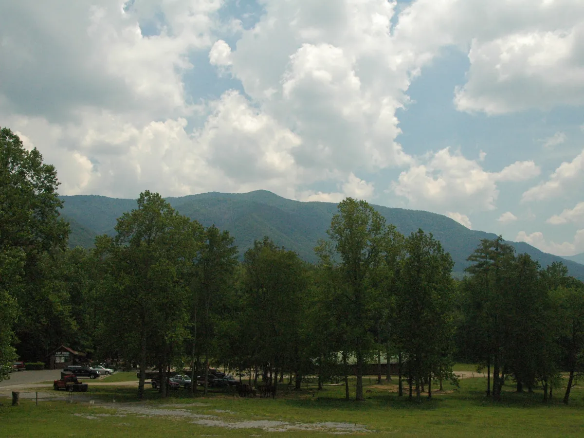
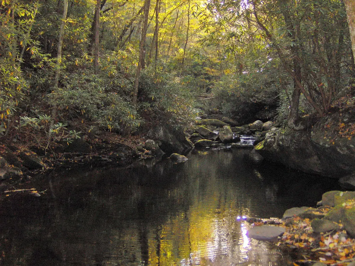
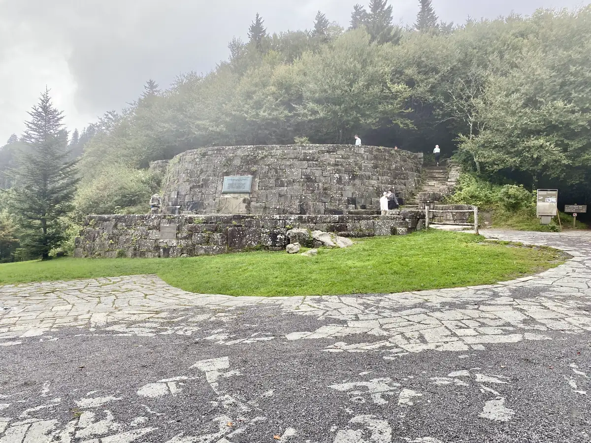
The wide green valley of Cades Cove ringed by forested ridgesA cascade on Lynn Camp Prong spilling over a rock ledgeThe stone wall and plaque of the Rockefeller Memorial at Newfound Gap
The Tennessee side · Cades Cove’s open valley, the Lynn Camp Prong cascades and the Rockefeller Memorial at Newfound Gap
Illustrated recap card titled 5 Days in the Smoky Mountains: Route recap card for five days in the Smoky Mountains
Route recap · one valley loop, one cascade, one crossing, one elk meadow and one creek to finish

The recap, for the road

The short version to keep in the car: the walk lengths, the wildlife distances and the two home bases.

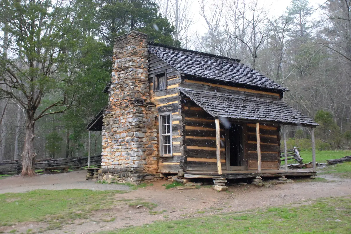
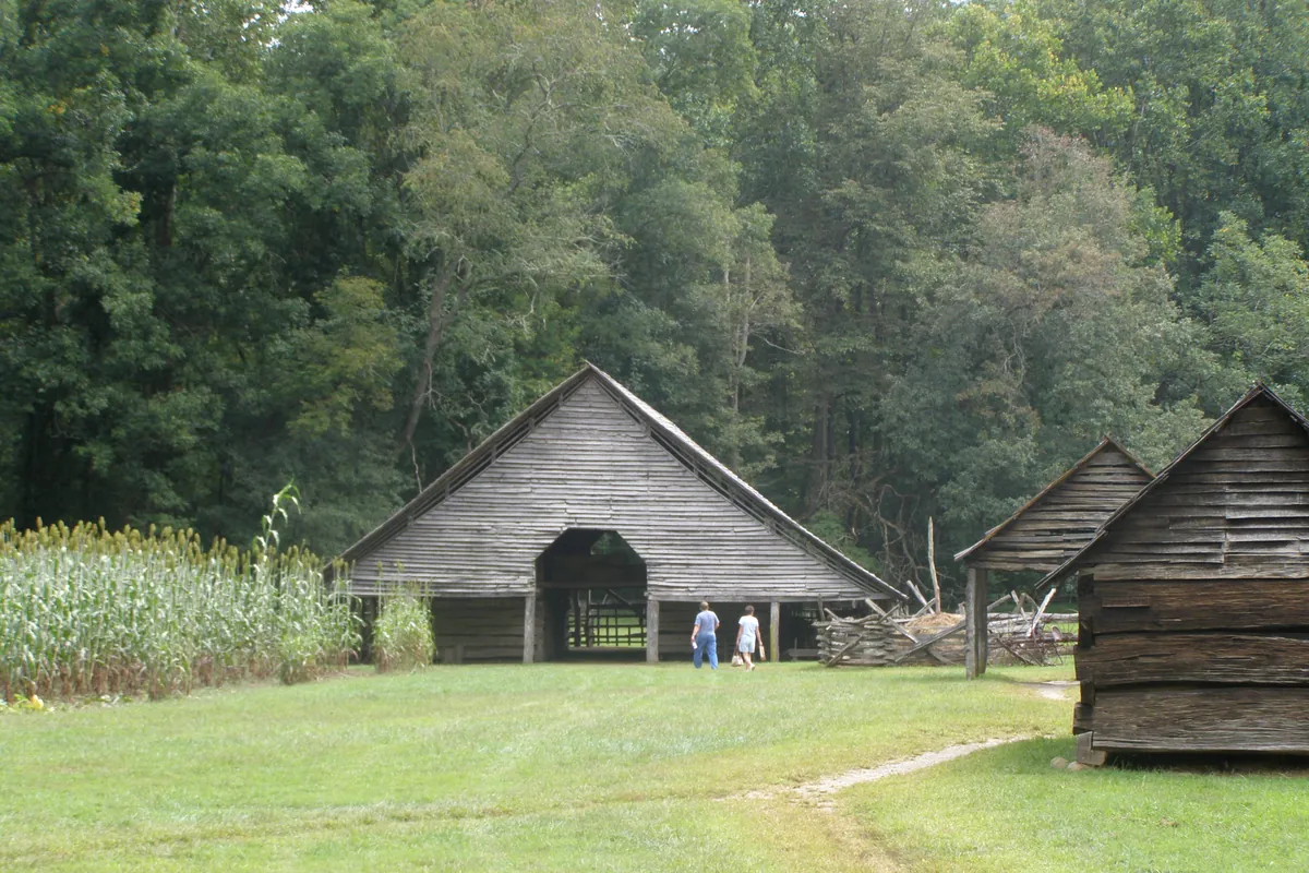
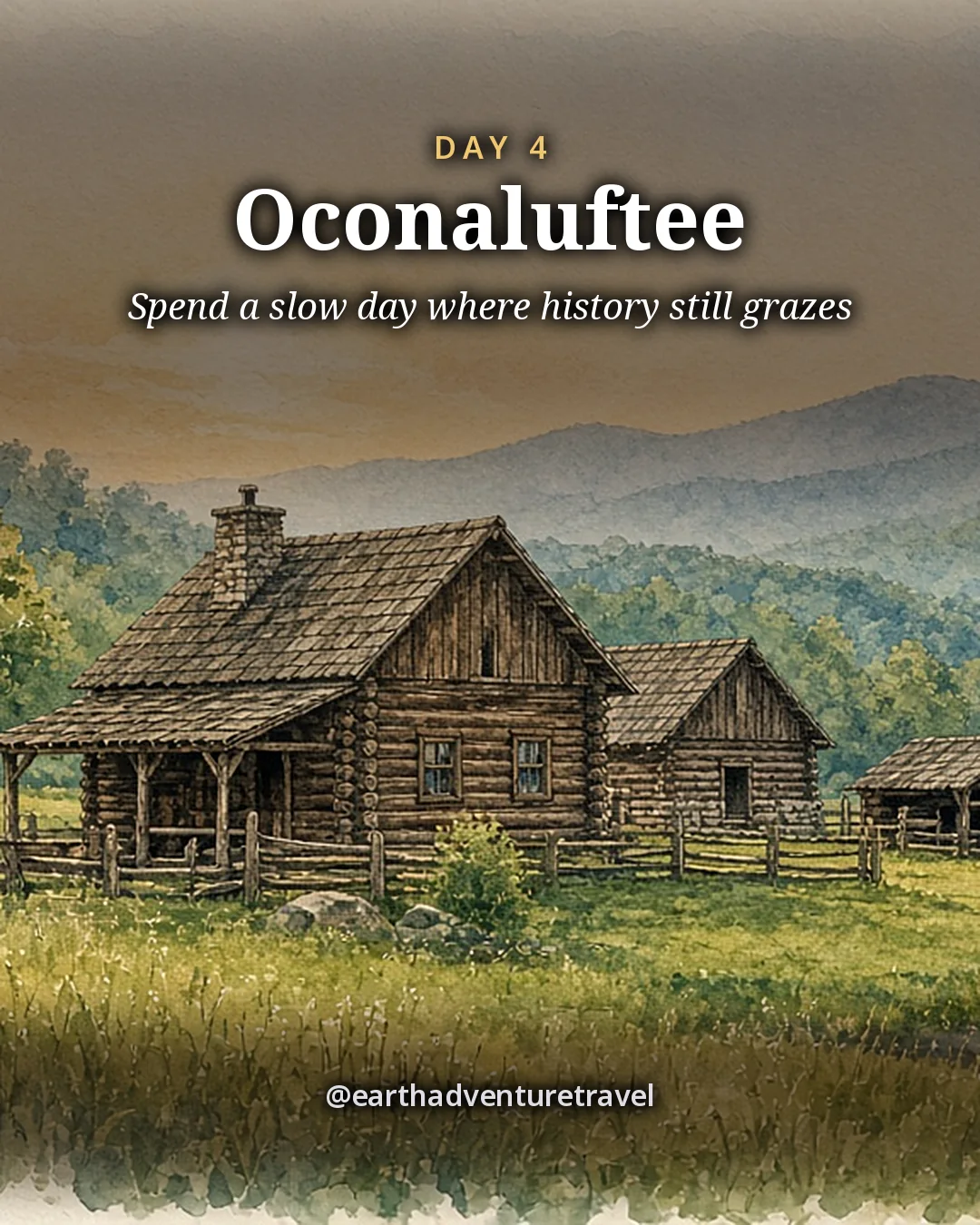
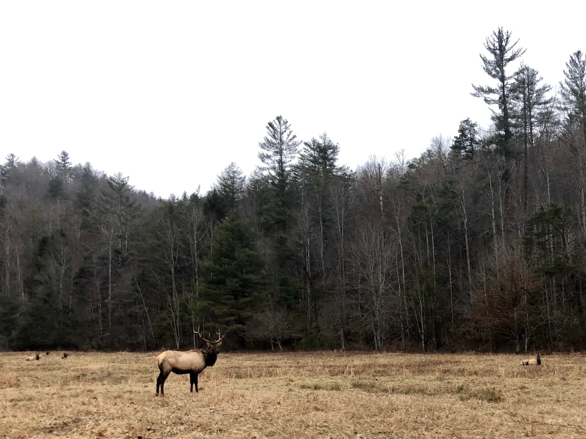
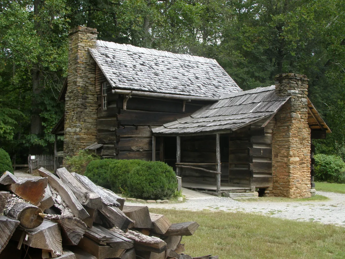
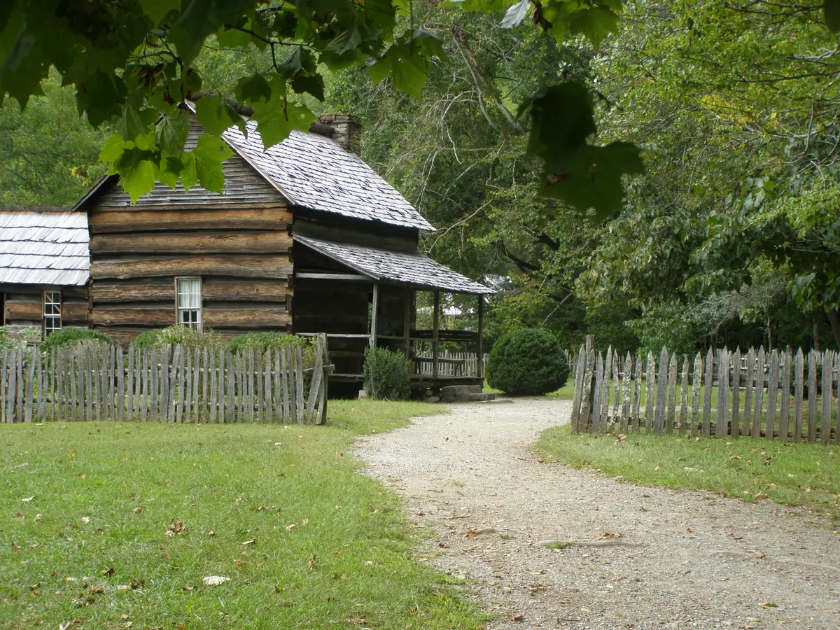
An elk grazing in a meadow in Cataloochee valleyA log cabin at the Mountain Farm Museum near OconalufteeA row of log farm buildings at the Mountain Farm Museum
The North Carolina side · elk country in Cataloochee and the log buildings of the Mountain Farm Museum at Oconaluftee

Quick answers

Planning notes

Is Great Smoky Mountains National Park free?

There is no entrance fee. Any vehicle parked for more than 15 minutes needs a parking tag: $5 daily, $15 weekly or $40 annually in 2026. Tags are physical, so buy one in advance or at a visitor center and display it in the car.

Do we need to hike the full trails?

No. Every day has a short version. Turn around at a cascade, walk only part of the Oconaluftee River Trail, or make Tom Branch Falls your one Deep Creek goal. Success is a pleasant outing, not a mileage total.

When is the best season with little kids?

Late May through August works for creek play, with heat, humidity and afternoon storms to manage. Mid-September through October offers cooler walking weather, fall color and the elk rut. Mountain conditions vary by elevation and date.

Where should we stay?

Use Townsend or Gatlinburg for the first two nights, then Cherokee or Bryson City after crossing Newfound Gap. Townsend gives Cades Cove and Tremont easier access; Cherokee and Bryson City place the second half near Oconaluftee and Deep Creek.

What should we know about bears and elk?

Never feed or approach wildlife. Stay at least 50 yards from bears and 25 yards from elk; in the park, willfully approaching closer, or near enough to disturb them, is illegal. Use designated pull-offs, and move back if an animal changes its behavior because of you.

Which waterfalls in the Smokies can a 4–6-year-old actually hike to?

Skip Laurel Falls for now: the trail is closed for rehabilitation until 2027. For shorter legs, try Cataract Falls behind Sugarlands Visitor Center, Tom Branch Falls, a short walk up the Deep Creek Trail, or the cascades on the Lynn Camp Prong Trail at Tremont. Juney Whank Falls is short but steep, so hold small hands. Bring twice the snacks you think you need.

Should we carry bear spray on popular Smoky Mountains trails?

It is optional, not essential. The park’s guidance centers on staying at least 50 yards from bears, storing food securely, hiking in a group and making noise. If a bear approaches, stand your ground, look big and shout. Bear spray is allowed for protection against wildlife, but it works only at close range: the park advises using it only when a bear is within about 20 yards.

Cades Cove or Roaring Fork: which scenic loop is better with young kids?

Cades Cove wins for young kids. Its wide, open 11-mile valley loop has frequent wildlife sightings, historic cabins to explore, restrooms and a visitor center, while Roaring Fork is a narrower, winding forest drive with fewer places to stop and stretch little legs. Go early: Cades Cove traffic builds by mid-morning.

Can kids go tubing at Deep Creek?

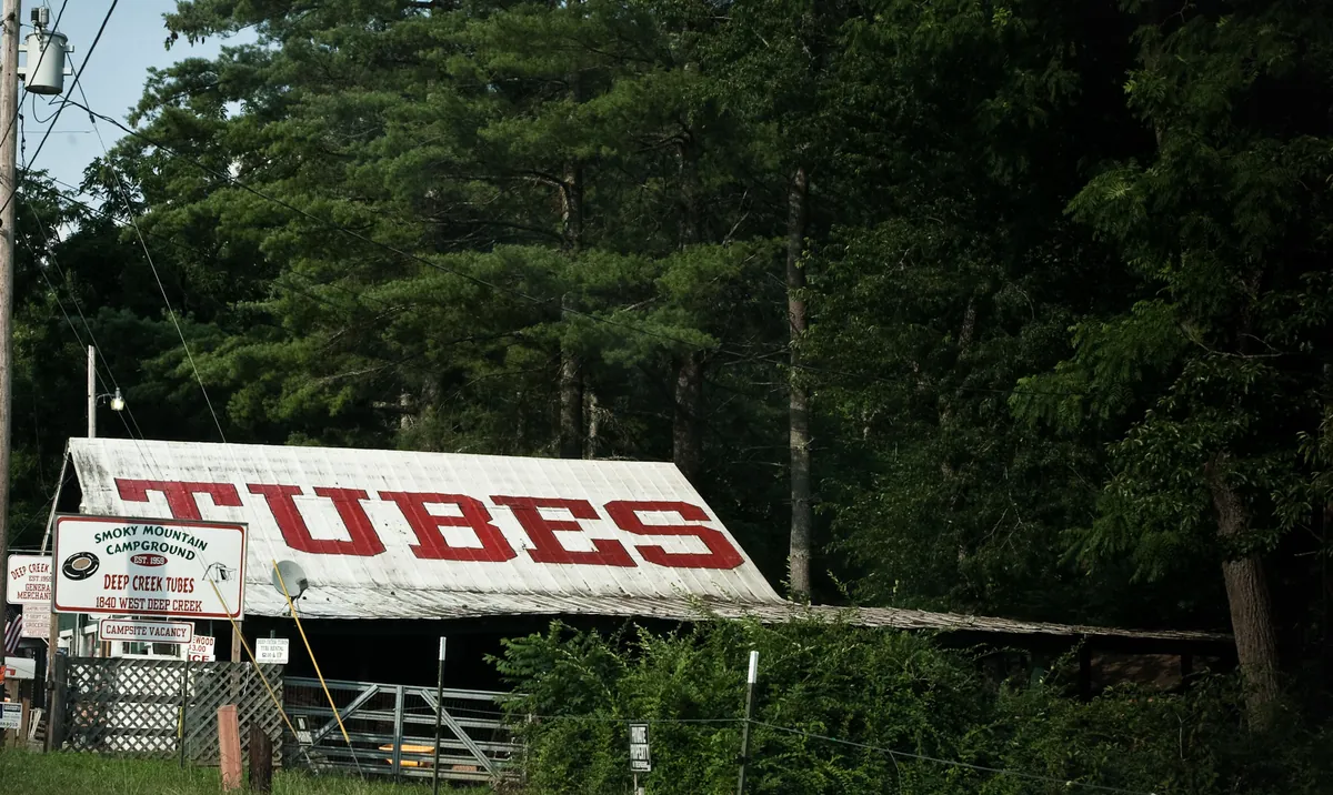
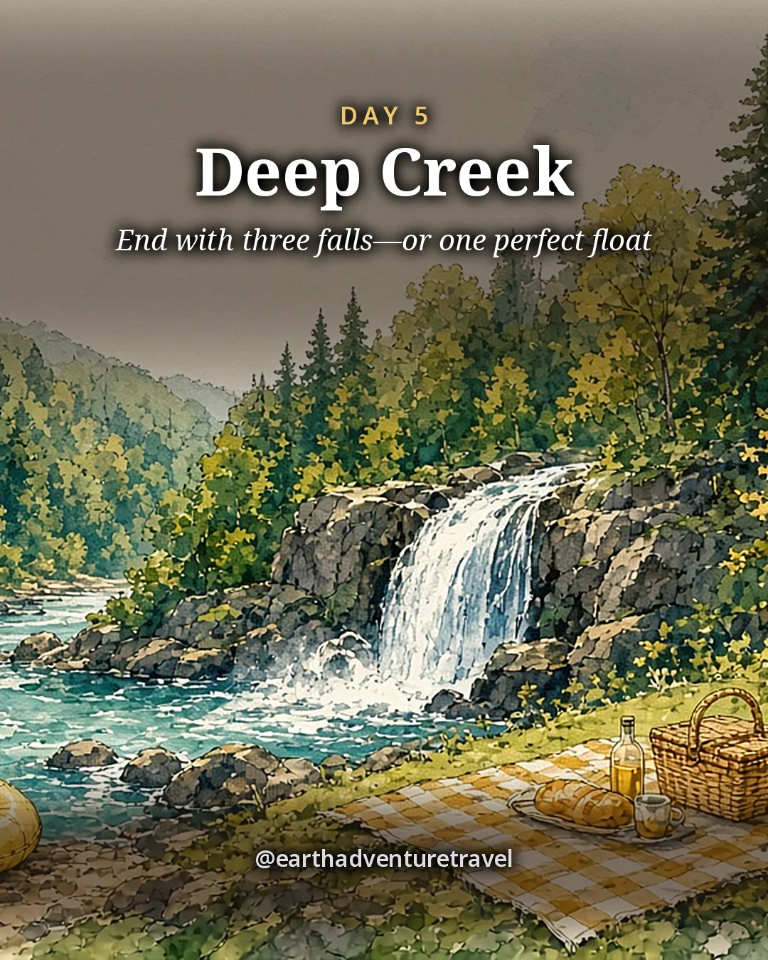
Tubing is popular on the lower stretch of Deep Creek, and rentals are sold outside the park entrance. The park itself does not recommend water recreation: rocks are slippery, currents are stronger than they look and the water rises fast after rain. With young kids, keep it to wading near the bank with an adult beside them, and skip the creek after storms.

Can you bike the Cades Cove Loop with kids on the car-free days?

Not until next year. Vehicle-free Wednesdays run May through September each year, and this year’s season has ended. When it returns, the whole 11-mile loop is closed to cars on Wednesdays; younger riders can shorten it with the Sparks Lane or Hyatt Lane cut-throughs. Check the park’s vehicle-free days page for the next season’s dates.

Before you set off — the official checks

Fees, roads and closures. Confirm current details on the sites listed under official links.

Official sites, not partners. We don't earn from these.

Freedom Passport

Planning your next trip?

Member prices on every Your Edition and Custom Trip, a free Your Edition every quarter, and up to 12 planning questions a month. Partner perks coming soon.

$3.99 a month or $29.99 a year

Join Freedom Passport

References

Research behind this guide

The reporting and research that shaped this itinerary.

Photo credits

Photos via Wikimedia Commons, resized and converted to WebP. The illustrated cover, day cards, packing card and recap card are this guide’s itinerary artwork, illustrated from the credited photos listed here.

  • Newfound Gap — photo by Dougtone, CC BY-SA 2.0; this resized copy is shared under the same license (CC BY-SA 2.0); it is also the basis of the Cover and Share image illustrations, shared under the same license (CC BY-SA 2.0)
  • Cades Cove — photo by Jarek Tuszyński, CC BY-SA 3.0; this resized copy is shared under the same license (CC BY-SA 3.0); it is also the basis of the Day 1 card illustration, shared under the same license (CC BY-SA 3.0)
  • Lynn Camp Prong — photo by Brian Stansberry, CC BY 3.0; it is also the basis of the Day 2 card illustration
  • Newfound Gap — photo by Missvain, CC BY 4.0; it is also the basis of the Day 3 card illustration
  • Oconaluftee — photo by Chris Light, CC BY-SA 4.0; this resized copy is shared under the same license (CC BY-SA 4.0); it is also the basis of the Day 4 card illustration, shared under the same license (CC BY-SA 4.0)
  • Deep Creek — photo by Justin Meissen, CC BY-SA 2.0; this resized copy is shared under the same license (CC BY-SA 2.0); it is also the basis of the Day 5 card illustration, shared under the same license (CC BY-SA 2.0)
  • Mountain haze — photo by Ken Lund, CC BY-SA 2.0; this resized copy is shared under the same license (CC BY-SA 2.0)
  • The Sinks — photo by P. Hughes, CC BY-SA 4.0; this resized copy is shared under the same license (CC BY-SA 4.0)
  • Cades Cove — photo by James St. John, CC BY 2.0; it is also the basis of the Plan card illustration
  • Lynn Camp Prong — photo by Brian Stansberry, CC BY 3.0
  • Rockefeller Memorial — photo by w_lemay, CC BY-SA 2.0; this resized copy is shared under the same license (CC BY-SA 2.0)
  • Elk — photo by Warren LeMay, CC0
  • Mountain Farm Museum — photo by Chris Light, CC BY-SA 4.0; this resized copy is shared under the same license (CC BY-SA 4.0); it is also the basis of the Recap card illustration, shared under the same license (CC BY-SA 4.0)
  • Mountain Farm Museum — photo by Chris Light, CC BY-SA 4.0; this resized copy is shared under the same license (CC BY-SA 4.0)
  • Route map — original route artwork for this guide (illustrated, not to scale)

The trip index

Choose the landscape. Then choose the pace.

Every guide on the site, filtered the same way everywhere: region, season, who is going, style, trip type and length.

Every guide is listed on All trips (the filters here need JavaScript).

Browse by Where · Who's going · When · Trip type · How long.

Trip types: Festivals & events ·  Anniversaries & milestones ·  Cultural festivals & parades · National parks & wild places ·  State park getaways ·  Waterfalls & gorges ·  Volcanoes & geothermal wonders ·  Stargazing & northern lights ·  Camping & cabins ·  Wildlife watching & birding ·  Desert & canyon parks ·  Mountain & alpine parks ·  Coastal & island parks ·  Forests, rainforests, caves & wetlands · Road trip ·  Historic route ·   Route 66 ·   Natchez Trace Parkway ·  Mountain & scenic byways ·   Blue Ridge Parkway ·  National park road trip ·  Road trip abroad ·  Coastal drives ·   Pacific Coast Highway ·  Desert & canyon drives ·  Ferry & island road trip · Active & adventure trip ·  Paddling, kayaking & rafting ·  Snowshoeing, dog sledding & winter sports ·  Hiking & backpacking ·  Biking & rail-trails ·  Multi-sport adventure trip · City trip & culture ·  Live music & nightlife ·  Theme parks & family attractions ·  Museums: art, science & history ·  Film, TV & literary trip ·  Architecture & design ·  Theater & performing arts ·  Big cities ·  Smaller cities ·  Cities near the outdoors · Scenic train rides ·  Heritage & excursion railroads ·  Long-distance rail journeys ·  Car-free trip by train ·  Rail journeys abroad · Mountain getaways & ski ·  Ski trip ·  Snowy escapes without skiing ·  Summer mountain towns ·  Red rock & desert mountain towns ·  Alps, highlands & big ranges abroad · Spa, cruise & splurge trip ·  Wellness retreats & yoga ·  Spas & hot springs ·  Cruises, river & canal boats ·   Ocean cruises ·   Alaska Inside Passage cruise ·  Splurge trip ·  Slow, restful trip · History & culture ·  Lighthouses, forts & sea history ·  Castles & old towns ·  Mansions & grand estates ·  Ancient sites & ruins ·  Civil War sites ·  Historic small towns & covered bridges ·  Presidential & military history ·  Pilgrimages & sacred sites ·  Old West, ghost & mining towns ·  Civil rights & Black history ·  Colonial & Revolutionary history ·  Native American & Indigenous heritage · Beach vacations & islands ·  Snorkeling & diving ·  Beach towns ·  Island hopping ·  Tropical islands & the Caribbean ·  Mediterranean coasts & islands ·  Rugged coastlines ·  Surf towns · Food & wine trip ·  Markets, street food & food halls ·  Breweries & distilleries ·  Seafood & coastal eating ·  Fine-dining splurges ·  Wine country ·  Farm-to-table, orchards & cider ·  Coffee, cheese & sweet treats ·  Food cities (US & Canada) ·  Regional American food ·   Barbecue trails ·   Tex-Mex & Southwest flavors ·   Southern, Cajun & Creole cooking ·  Eating your way abroad ·   Japanese food ·   Italian food ·   Mexican food ·   French food ·   Spanish & Portuguese food ·   Southeast Asian food ·   Korean food ·   Central European food ·   Irish & British food · Bucket-list trip ·  Machu Picchu & the Inca Trail ·  Camino de Santiago ·  Iceland Ring Road · By departure city ·  From New York City ·  From Los Angeles ·  From Chicago ·  From Washington, DC ·  From Boston ·  From San Francisco Bay Area · By travel time ·  Under 2 hours by car ·  2 to 4 hours by car.