3 days · San Francisco to Big Sur, California

San Francisco & Big Sur for two

Fog on the Golden Gate, the cliffs of Highway 1 and McWay Falls, then two slow nights on the Monterey Peninsula. A couples route that never asks you to rush the view.

3 days / 3 nightsSeptember–November clearestCouples · one big drive
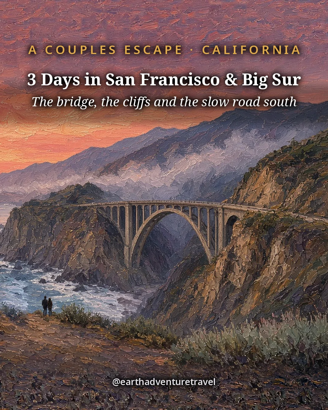
Illustrated cover titled 3 Days in San Francisco & Big Sur, a couples trip: Bixby Creek Bridge glowing at sunset
Illustrated from the Bixby Creek Bridge photo

Reviewed How we verify

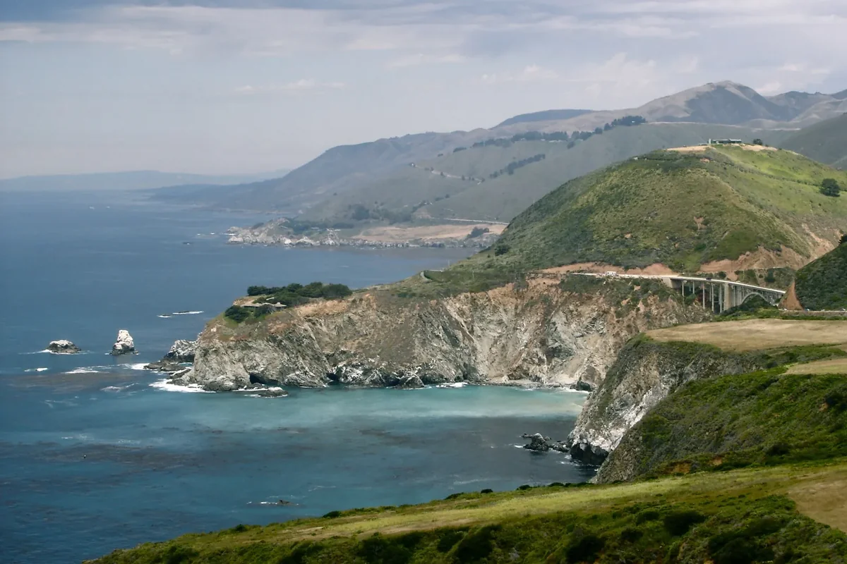
Bixby Creek Bridge arching over a creek mouth on the Big Sur coast, seen from a distance with the hills behind
Bixby Creek Bridge · the 1932 concrete arch on Highway 1, about 15 miles south of Carmel

The idea

The most iconic drive in America, at couples pace.

Highway 1 between San Francisco and Big Sur is the rare road that lives up to its reputation: a cliffside ribbon where every pullout frames the Pacific. This plan gives it three days: one for San Francisco, one for the full Big Sur run, and one slow day on the Monterey Peninsula.

The rhythm is deliberate. Mornings start early, when the light is best and the pullouts are empty; middays are long lunches with a view; evenings land in walkable towns with real dinner reservations. You sleep one night in the city and two on the peninsula, so the Big Sur day ends 30 minutes from your bed, not three hours.

September through November brings the clearest skies. Summer brings the famous fog, which has its own romance if you pack a warm layer.

On this trip

A Sense of Place

Culture, food, history and traditions for each place you’ll visit.

On this trip

A Sense of Place

Culture, food, history and traditions for each place you’ll visit.

The trip in 60 seconds

Under this sky

The Season Here

San Francisco to Big Sur · two places

Typical November highs sit around 64°F, with nights near 51°F.

  1. NovemberThis monthTypical high 64°, low 51°
  2. DecemberNextTypical high 58°, low 47°
  3. JanuaryThenTypical high 58°, low 47°
See the full 14-day forecast

The next three months

Sky & weather

Forecast for San Francisco

Forecast · refreshes daily

Sun today

Sunrise–Daylight–Sunset–

Sun times load with the forecast.

Typical by month

MonthHighLowHigh / lowWhat to expectExpect
Jan58°47°58° / 47°Coldest monthColdest
Feb60°48°60° / 48°Winter; days near 60, nights near 48Winter
Mar62°49°62° / 49°Spring; days near 62, nights near 49Spring
Apr63°50°63° / 50°Spring; days near 63, nights near 50Spring
May64°51°64° / 51°Spring; days near 64, nights near 51Spring
Jun66°53°66° / 53°Summer; typically dryDry
Jul66°54°66° / 54°Summer; typically dryDry
Aug68°56°68° / 56°Summer; typically dryDry
Sep70°56°70° / 56°Warmest monthWarmest
Oct70°54°70° / 54°Fall; days near 70, nights near 54Fall
Nov64°51°64° / 51°Fall; days near 64, nights near 51Fall
Dec58°47°58° / 47°Wettest month; about 4.8 inWettest

Typical: NOAA 1991–2020 U.S. Climate Normals.

The route

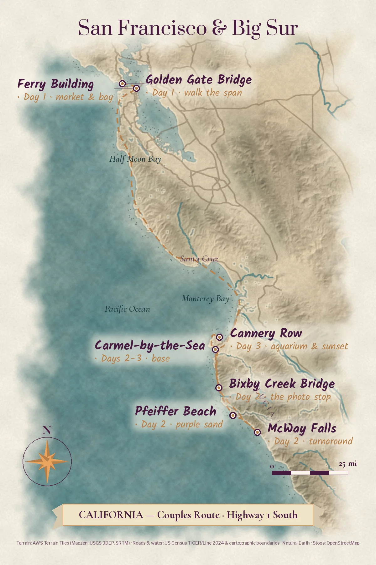
Three days on Highway 1.

One night in San Francisco, then two on the Monterey Peninsula. Drive south so the ocean stays on the passenger side; swap seats at McWay Falls for the run back north.

Make it yours

Two ways to make this trip yours.

Free with an account: this guide as written, with its map and day-by-day plan.

Fits this guide

Your Edition

Same place, same length. Fitted to your group, season and pace.

From $7.99Members $5.99 · Join Freedom Passport · Member price applied

This 3-day guide: $7.99 · members $5.99

  • This guide’s route, re-paced for who’s coming
  • Food hotspots and picks along the way
  • An occasion moment for a birthday, anniversary or first trip
  • Group notes, season notes, packing list and playlist
  • Lives on its trip page and in the app

Uses the guide’s illustrations. No new artwork.

Get Your Edition

Custom Trip

Any combination of places, built from scratch.

From $39Members $29 · Join Freedom Passport · Member price applied

Getaway $39 · Journey $69 · Grand Journey $119

  • Any combination of locations, not limited to a prebuilt itinerary
  • A deeper dive: 3 full itineraries a day, Saver, Sweet spot and Splurge
  • Its own custom artwork, made for your trip
  • Any length up to 21 days, with a trip page and a PDF
Get a Custom Trip

Your Edition fits this guide to your group. A Custom Trip goes deeper: any combination of locations, with its own custom artwork.

Freedom Passport members pay $6.99 and up for Your Edition and from $29 for a Custom Trip. See Freedom Passport

Member prices on every Your Edition and Custom Trip, plus a free Your Edition after 3 paid months (monthly plan). Partner perks coming soon.

Compare side by side

Illustrated travel journal with a winding route and pinsCustom Trip

How we tailor your San Francisco & Big Sur plan

A plan that knows how you travel.

3 full itineraries in every plan, Saver to Splurge, so you can pick or mix.

🌙 Your rhythm

Slow mornings? Your days start after a late breakfast, not at dawn.

🥾 Your needs

One of you hikes and one doesn't? Each day pairs a trail with an easy viewpoint.

🌄 Your kind of day

Celebrating something? We save a standout sunset spot for your last night.

3 full itineraries in every plan

Saver, Sweet spot and Splurge, each a complete day-by-day plan. Pick one or mix.

All 3 in your plan
$SaverSmart value
$$Sweet spotGood balance
$$$SplurgeTreat yourself
See it in a sample plan

Yours from $39. Members $29.

Every plan is built around you, your pace and your must-dos.

Longer trips: 15–100 days $127–$807, members $84–$509.

Getaway (1–3 days) · $39 · members $29

Art & photos

  • 5 original illustrations of your trip's highlights
  • 8 destination photos to preview each stop1 cover · 3 daily · 4 postcards

Planning

  • Timed itinerary so every day runs at an easy pace
  • 3 full itineraries Saver, Sweet spot and Splurge, so you can pick or mix
  • 3 curated stays per stop to match your budget
  • Where to eat for breakfast, lunch and dinner, plus local tips every day
  • Tap-to-go routes to every hotel, activity and restaurant, opening straight in your maps app
  • Booking timeline so you book the right things in the right order
  • Packing list made for every traveler coming

Your plan, your way

  • Digital trip page in your account, on any device
  • PDF to save, print or share
  • Trip playlist with song links for Spotify and Apple Music
  • 1 free refinement to tweak anything after delivery

Full refund any time up until delivery of the plan. Report a wrong fact and we’ll correct it and send you an updated plan, free. 1 free refinement after delivery (2 on Grand Journey)

Our promise

  • Full refund any time up until delivery of the plan. Change your mind any time before your plan is delivered and we’ll refund you in full. If you report a wrong fact in your plan, we’ll correct it and send you an updated plan, free.
  • One free refinement after delivery (two on Grand Journey). Tell us what to change and we’ll refine it.
  • Spotted an error? Tell us which fact on this page looks wrong and we’ll review it.

The people behind the plans

Who is Earth Adventure Travel?

We build routes for real life — wrangling kids, spanning generations, or heading out solo — and review key details regularly. Things change and we can miss some, so we link the official sources for you to confirm before you go.

Learn About Us

Before you go

Pack for fog and wind. Book the views ahead.

What earns space

  • A warm fleece and a windbreaker: the coast runs 55–65°F most of the year
  • Shoes for sand and rock at Pfeiffer Beach and Point Lobos
  • Binoculars for otters, sea lions and passing whales
  • A Nepenthe lunch reservation and a North Beach dinner booking
  • Monterey Bay Aquarium tickets bought online
  • Caltrans QuickMap bookmarked and offline maps for Big Sur
  • Snacks and water for the long gaps between Big Sur services
  • Sunglasses and sunscreen for the clear autumn days
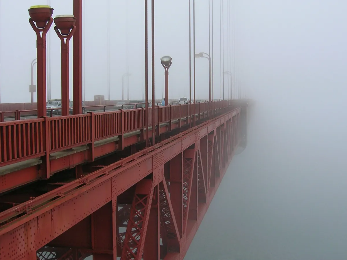
The Golden Gate Bridge towers rising out of a low bank of morning fog
A layer for the fog. Golden Gate Bridge · the summer marine layer swallowing the towers; bring a warm layer even in August
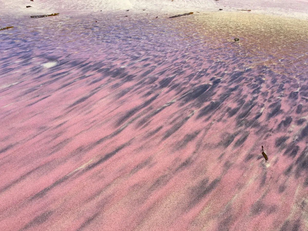
Purple and black sand swirled into patterns by the surf at Pfeiffer Beach
Shoes for sand and rock. Pfeiffer Beach · purple sand streaks from garnet washed out of the cliffs; sand and rock, so wear real shoes
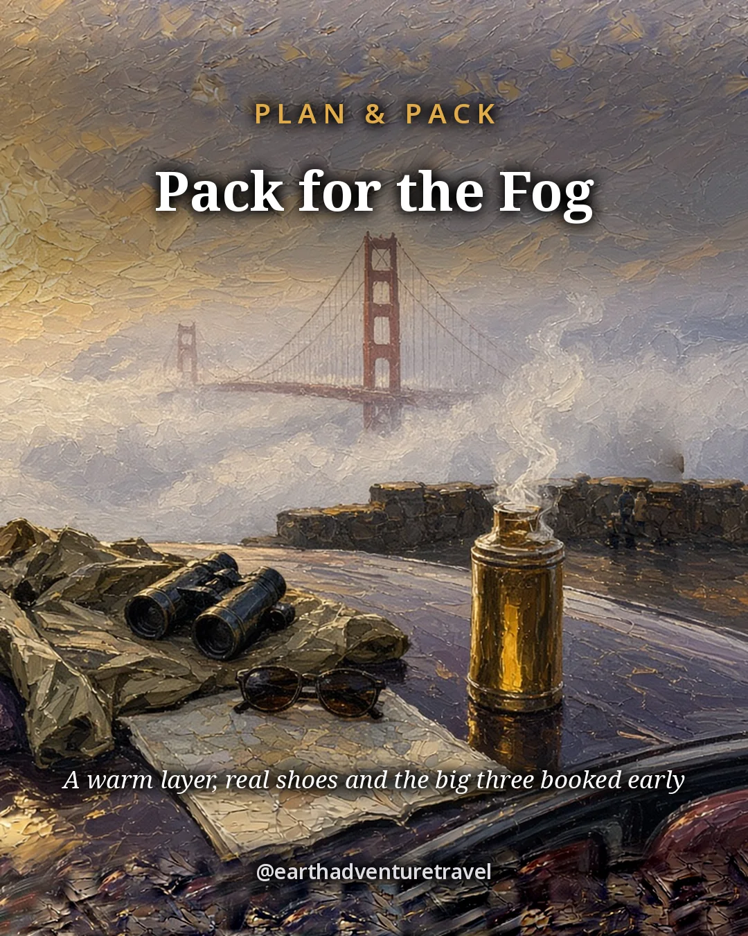
Illustration titled Pack for the Fog: fleeces, binoculars
Plan and pack · the saveable card: a warm layer for the fog, real shoes and the big three booked early

Book the big three early

Nepenthe lunch, a North Beach dinner and peninsula hotels sell out first on fall weekends. Aquarium tickets are online only, so buy them when you book the room.

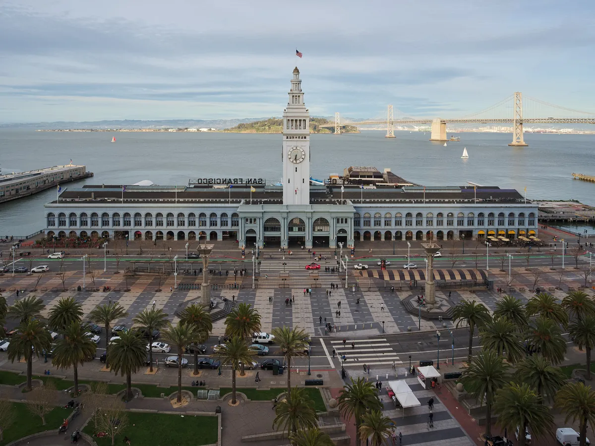
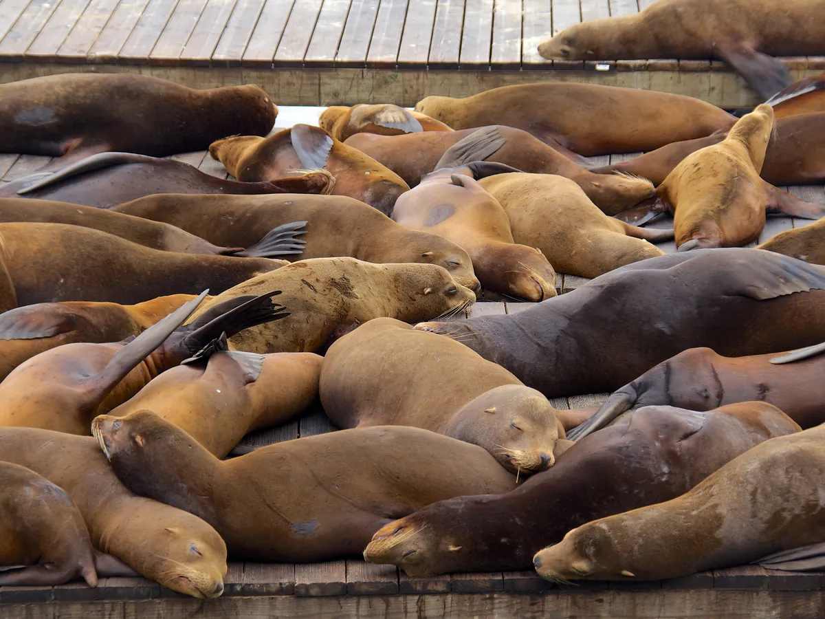
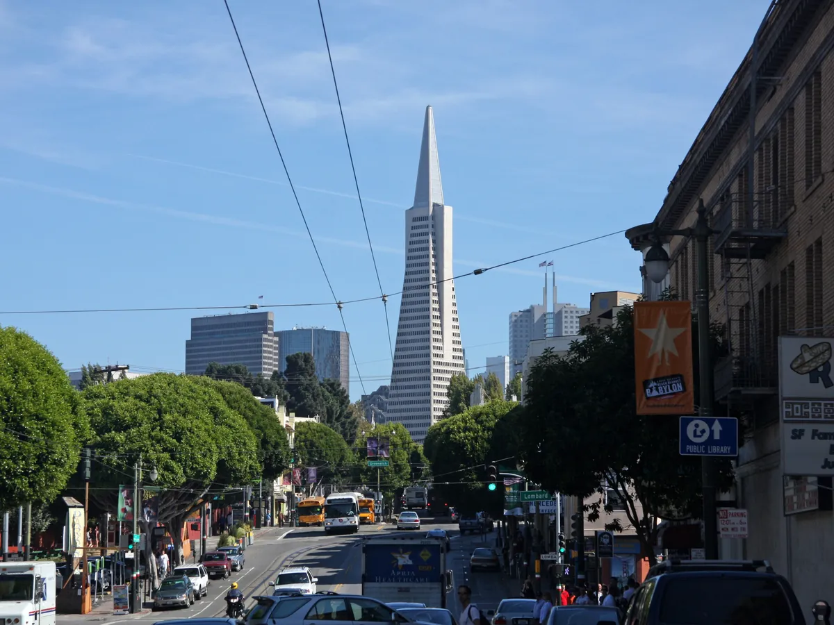
The clock tower of the San Francisco Ferry Building at duskSea lions piled on the floating docks at Pier 39Columbus Avenue in North Beach with the Transamerica Pyramid behind
City day · the Ferry Building clock tower, the Pier 39 sea lions and Columbus Avenue in North Beach
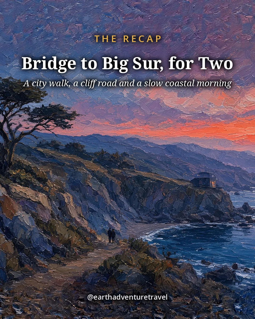
Recap illustration titled Bridge to Big Sur, for Two: cypress and rocky coves at Point Lobos at sunset
San Francisco and Big Sur · the saveable recap card: a city walk, a cliff road and a slow coastal morning

Otters at dusk

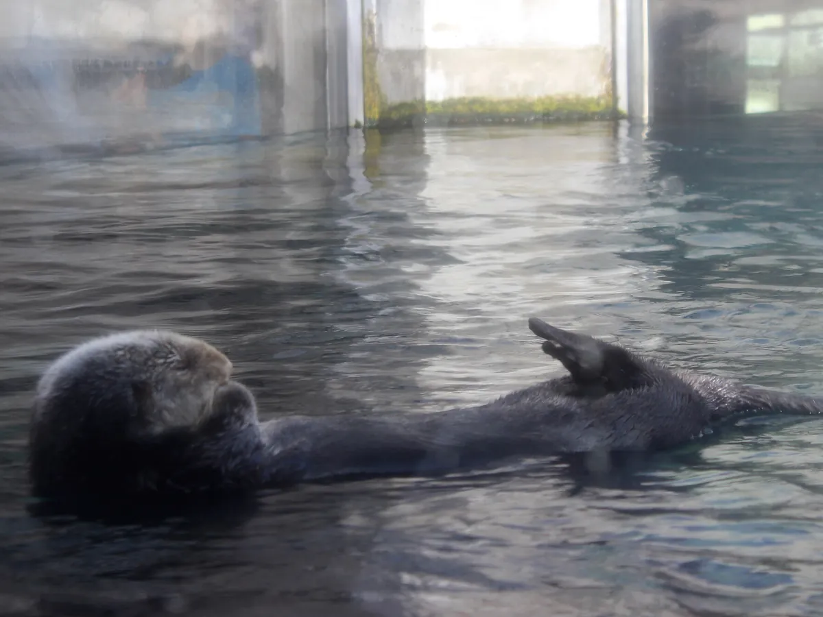
Sea otters raft in the kelp off Cannery Row, Point Lobos and Asilomar. Bring binoculars, stay well back, and look for the floating bundles at the edge of the kelp beds near sunset.

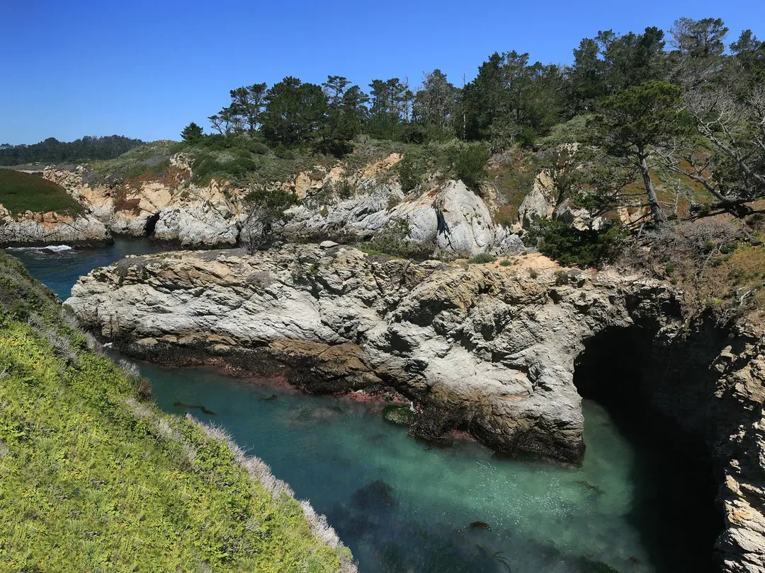
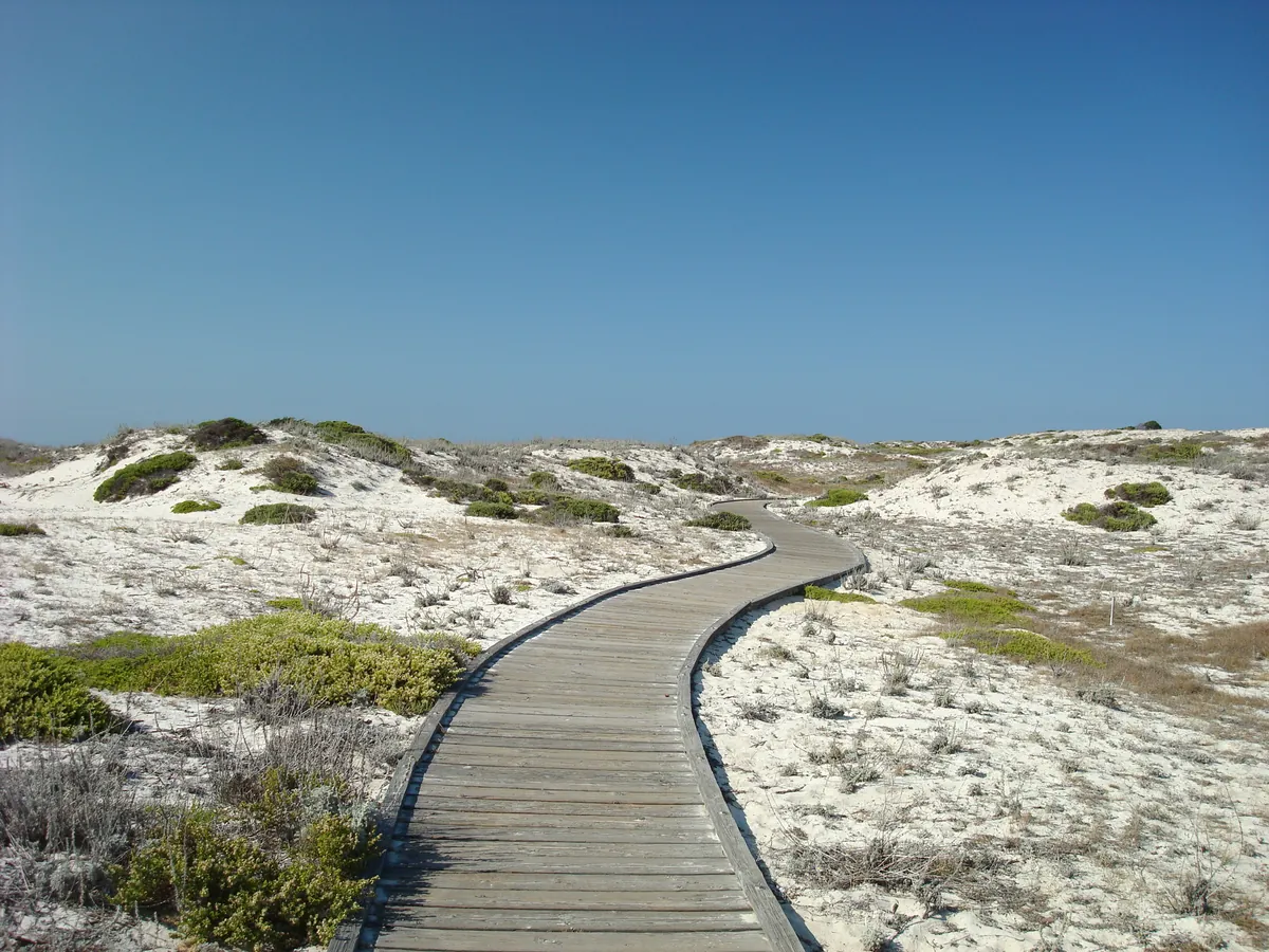
A sea otter floating on its back in the waterRocky coves and cypress at Point Lobos State Natural ReserveThe wooden boardwalk crossing the dunes at Asilomar State Beach
Peninsula wildlife and walks · a Monterey sea otter, the coves of Point Lobos and the Asilomar boardwalk

Quick answers

Planning notes

Is Highway 1 through Big Sur open?

The stretch on this route, from Carmel south to McWay Falls in Julia Pfeiffer Burns State Park, is north of the slide zones near Lucia. Closures and one-way traffic control still change week to week, especially after winter storms. Check Caltrans QuickMap the morning you drive and turn around if it shows a closure.

Why sleep in Carmel instead of driving back to San Francisco?

San Francisco to McWay Falls and back is about 300 miles in one day. Sleeping on the Monterey Peninsula after Big Sur cuts that to roughly 75 miles round trip from Carmel, leaves time for Pfeiffer Beach and lunch, and puts you next door to 17-Mile Drive the next morning.

How much is 17-Mile Drive?

$12.50 per vehicle at the gate, refunded with a purchase of $35 or more at a Pebble Beach Resorts restaurant (Pebble Beach Market excluded). Gates open sunrise to sunset, and motorcycles are not allowed. Allow about 2 hours with stops.

Do we need to book the Monterey Bay Aquarium ahead?

Yes. Tickets are sold online only: $65 for adults 18–69 and $50 for youth and seniors. Hours vary by season, usually about 10 a.m. to 5 p.m., with last entry an hour before closing.

How do we get to Pfeiffer Beach?

Turn west onto Sycamore Canyon Road, an unmarked single-lane road between the Big Sur ranger station and the post office. It’s 2.2 miles to a 65-car lot with a $15 day-use fee. Through January 29, 2027, only people in motor vehicles may use the road: no walking or cycling in.

Can we swim at McWay Falls or Pfeiffer Beach?

No. The McWay cove beach is closed to visitors and is viewed from the Overlook Trail only, and Pfeiffer Beach has strong, dangerous currents. Wade at the edge at most, and never turn your back on the surf.

When is the best time to go?

September through November usually brings the clearest skies and warmest coastal days. Summer is often foggy along the coast, and winter storms can close Highway 1. Spring brings wildflowers and green hills.

What should we pack?

Layers: a fleece and a windbreaker even in summer, shoes for sand and rock, binoculars, sunglasses, and snacks for the long stretch without services in Big Sur. Bookmark Caltrans QuickMap and download offline maps; cell coverage drops along the coast.

Before you set off — the official checks

Road status, fees and tickets change. Confirm current details on the sites listed under official links.

Official sites, not partners. We don't earn from these.

Freedom Passport

Planning your next trip?

Member prices on every Your Edition and Custom Trip, a free Your Edition every quarter, and up to 12 planning questions a month. Partner perks coming soon.

$3.99 a month or $29.99 a year

Join Freedom Passport

References

Research behind this guide

The reporting and research that shaped this itinerary.

Photo credits

Photos via Wikimedia Commons, resized and converted to WebP. The illustrated cover, Day 1, Day 2 and Day 3 cards, packing card and recap card are this guide’s itinerary artwork, illustrated from the credited photos listed here.

  • Bixby Creek Bridge — photo by ABoukai, Public domain; it is also the basis of the Cover and Share image illustrations
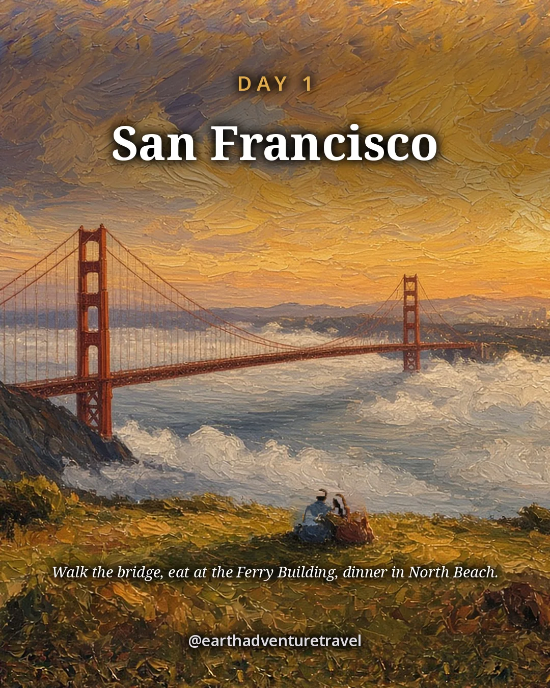
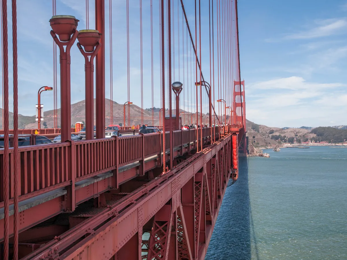
  • Golden Gate Bridge walkway — photo by Liana Minassian, CC BY-SA 4.0; this resized copy is shared under the same license (CC BY-SA 4.0); it is also the basis of the Day 1 card illustration, shared under the same license (CC BY-SA 4.0)
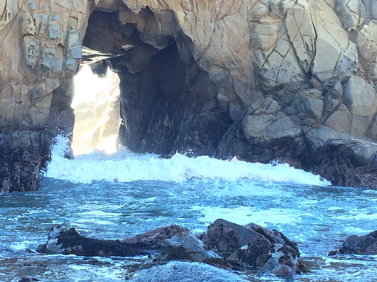
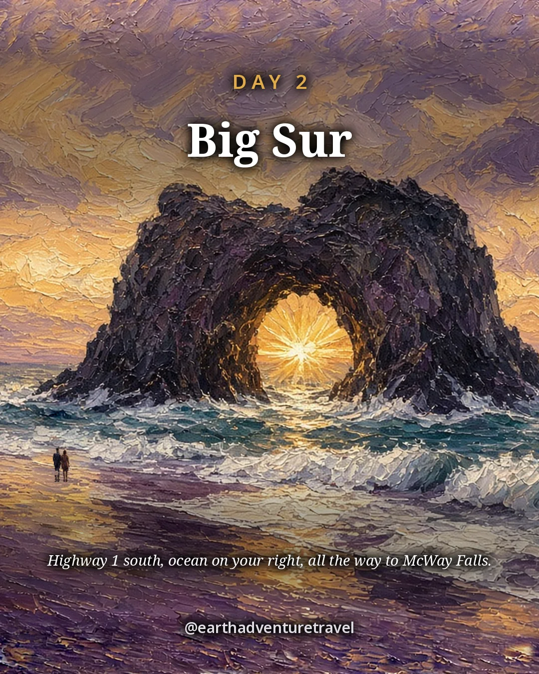
  • Pfeiffer Beach — photo by Bittertabitha, CC BY-SA 4.0; this resized copy is shared under the same license (CC BY-SA 4.0); it is also the basis of the Day 2 card illustration, shared under the same license (CC BY-SA 4.0)
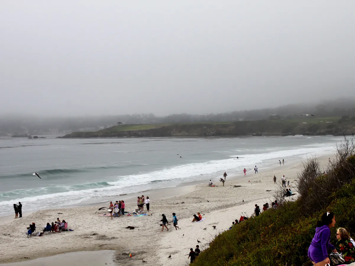
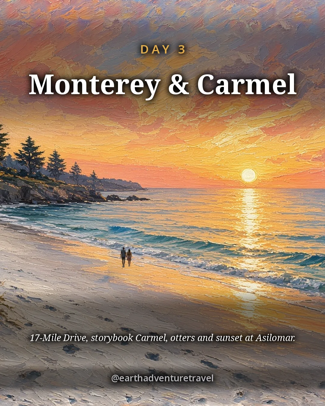
  • Carmel Beach — photo by Jelson25, Public domain; it is also the basis of the Day 3 card illustration
  • Morning fog at the Golden Gate — photo by Grombo, CC BY-SA 3.0; this resized copy is shared under the same license (CC BY-SA 3.0); it is also the basis of the Packing card illustration, shared under the same license (CC BY-SA 3.0)
  • Purple sand, Pfeiffer Beach — photo by Justin Dolske, CC BY-SA 2.0; this resized copy is shared under the same license (CC BY-SA 2.0)
  • Cannery Row — photo by Jim G, CC BY 2.0
  • Ferry Building — photo by Dllu, CC BY-SA 4.0; this resized copy is shared under the same license (CC BY-SA 4.0)
  • Sea lions at Pier 39 — photo by Mike Peel (www.mikepeel.net)., CC BY-SA 4.0; this resized copy is shared under the same license (CC BY-SA 4.0)
  • North Beach, Columbus Avenue — photo by Ronnie Macdonald, CC BY 2.0
  • Sea otter, Monterey — photo by Miguel Hermoso Cuesta, CC BY-SA 4.0; this resized copy is shared under the same license (CC BY-SA 4.0)
  • Point Lobos — photo by Brocken Inaglory, CC BY-SA 3.0; this resized copy is shared under the same license (CC BY-SA 3.0); it is also the basis of the Recap card illustration, shared under the same license (CC BY-SA 3.0)
  • Asilomar boardwalk — photo by John Loo, CC BY 2.0
  • Route map — terrain from AWS Terrain Tiles (Mapzen; USGS 3DEP, SRTM); roads and water from US Census TIGER/Line 2024; coastline and rivers from Natural Earth (public domain); stop locations from OpenStreetMap

The trip index

Choose the landscape. Then choose the pace.

Every guide on the site, filtered the same way everywhere: region, season, who is going, style, trip type and length.

Every guide is listed on All trips (the filters here need JavaScript).

Browse by Where · Who's going · When · Trip type · How long.

Trip types: Festivals & events ·  Anniversaries & milestones ·  Cultural festivals & parades · National parks & wild places ·  State park getaways ·  Waterfalls & gorges ·  Volcanoes & geothermal wonders ·  Stargazing & northern lights ·  Camping & cabins ·  Wildlife watching & birding ·  Desert & canyon parks ·  Mountain & alpine parks ·  Coastal & island parks ·  Forests, rainforests, caves & wetlands · Road trip ·  Historic route ·   Route 66 ·   Natchez Trace Parkway ·  Mountain & scenic byways ·   Blue Ridge Parkway ·  National park road trip ·  Road trip abroad ·  Coastal drives ·   Pacific Coast Highway ·  Desert & canyon drives ·  Ferry & island road trip · Active & adventure trip ·  Paddling, kayaking & rafting ·  Snowshoeing, dog sledding & winter sports ·  Hiking & backpacking ·  Biking & rail-trails ·  Multi-sport adventure trip · City trip & culture ·  Live music & nightlife ·  Theme parks & family attractions ·  Museums: art, science & history ·  Film, TV & literary trip ·  Architecture & design ·  Theater & performing arts ·  Big cities ·  Smaller cities ·  Cities near the outdoors · Scenic train rides ·  Heritage & excursion railroads ·  Long-distance rail journeys ·  Car-free trip by train ·  Rail journeys abroad · Mountain getaways & ski ·  Ski trip ·  Snowy escapes without skiing ·  Summer mountain towns ·  Red rock & desert mountain towns ·  Alps, highlands & big ranges abroad · Spa, cruise & splurge trip ·  Wellness retreats & yoga ·  Spas & hot springs ·  Cruises, river & canal boats ·   Ocean cruises ·   Alaska Inside Passage cruise ·  Splurge trip ·  Slow, restful trip · History & culture ·  Lighthouses, forts & sea history ·  Castles & old towns ·  Mansions & grand estates ·  Ancient sites & ruins ·  Civil War sites ·  Historic small towns & covered bridges ·  Presidential & military history ·  Pilgrimages & sacred sites ·  Old West, ghost & mining towns ·  Civil rights & Black history ·  Colonial & Revolutionary history ·  Native American & Indigenous heritage · Beach vacations & islands ·  Snorkeling & diving ·  Beach towns ·  Island hopping ·  Tropical islands & the Caribbean ·  Mediterranean coasts & islands ·  Rugged coastlines ·  Surf towns · Food & wine trip ·  Markets, street food & food halls ·  Breweries & distilleries ·  Seafood & coastal eating ·  Fine-dining splurges ·  Wine country ·  Farm-to-table, orchards & cider ·  Coffee, cheese & sweet treats ·  Food cities (US & Canada) ·  Regional American food ·   Barbecue trails ·   Tex-Mex & Southwest flavors ·   Southern, Cajun & Creole cooking ·  Eating your way abroad ·   Japanese food ·   Italian food ·   Mexican food ·   French food ·   Spanish & Portuguese food ·   Southeast Asian food ·   Korean food ·   Central European food ·   Irish & British food · Bucket-list trip ·  Machu Picchu & the Inca Trail ·  Camino de Santiago ·  Iceland Ring Road · By departure city ·  From New York City ·  From Los Angeles ·  From Chicago ·  From Washington, DC ·  From Boston ·  From San Francisco Bay Area · By travel time ·  Under 2 hours by car ·  2 to 4 hours by car.