5 days · Skyline Drive & the Blue Ridge, Virginia

Five fall days on Skyline Drive & the Blue Ridge

A budget-minded family campout along Shenandoah’s crest and onto the Blue Ridge Parkway — overlooks, one waterfall, a mountaintop orchard, a farm-or-summit day, and a lakeside finish under Sharp Top.

5 days / 4 nightsMid–late OctoberKids 6–12 · campingEstimate: $700–$1,200 for 4
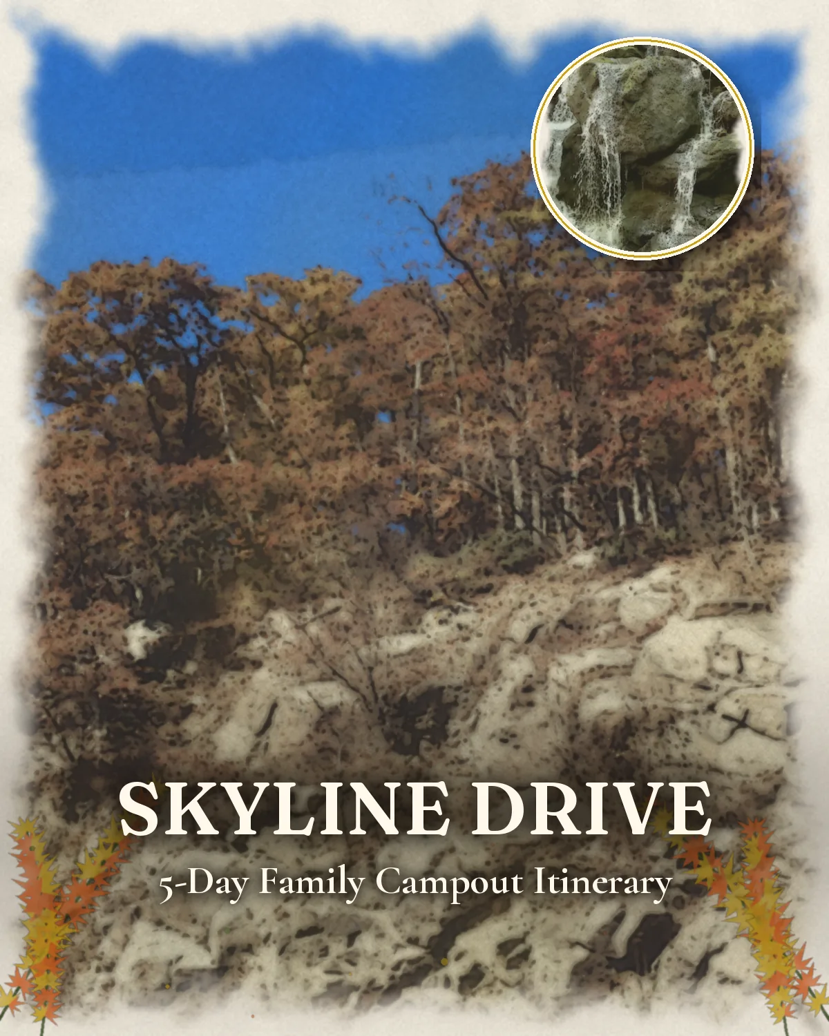
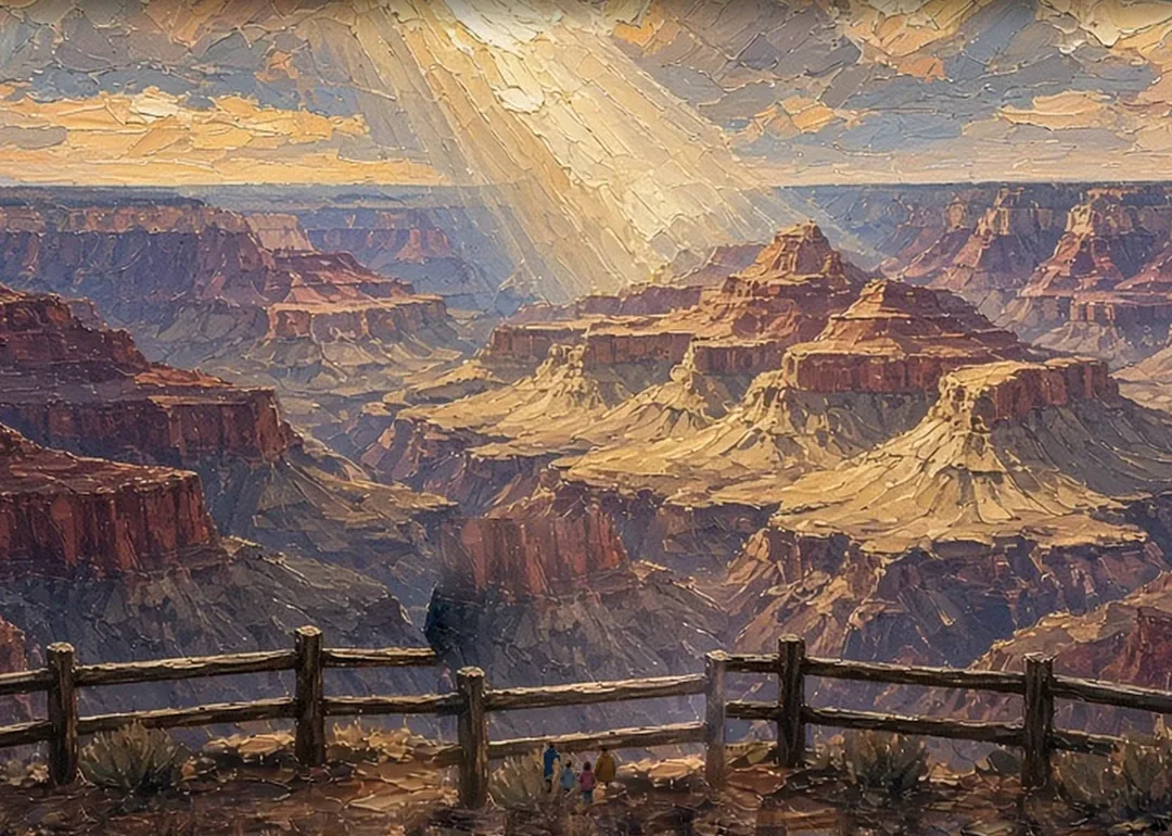
Illustrated cover artwork for five days: Skyline Drive & the Blue Ridge in fall
Original itinerary artwork

Reviewed How we verify

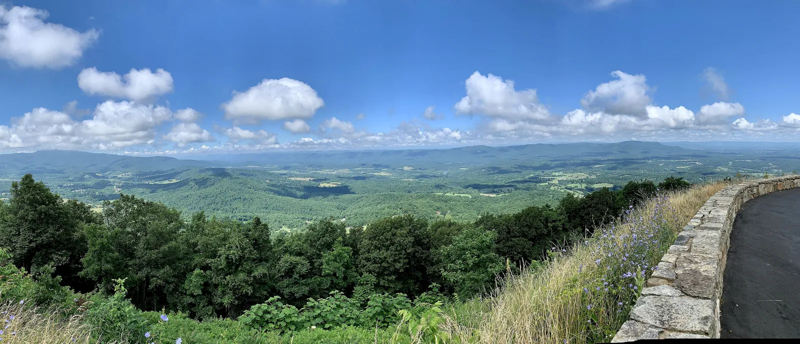
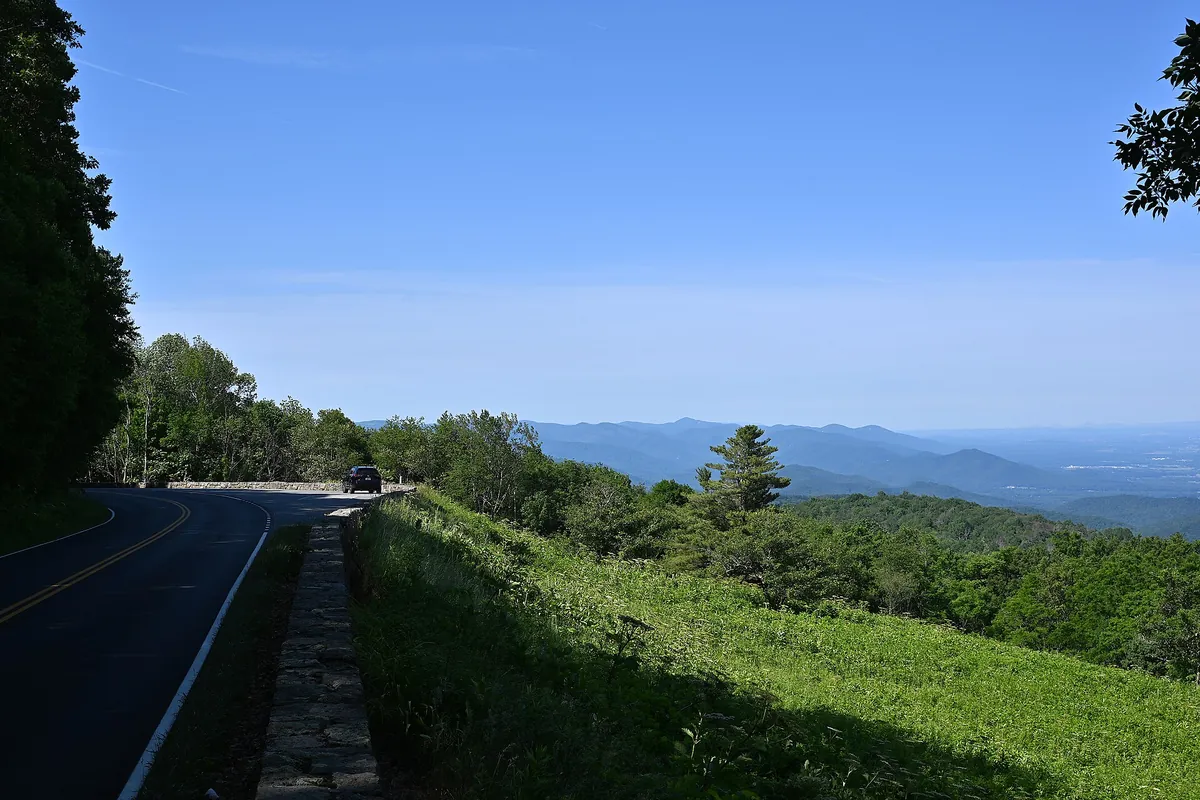
A stone-walled Skyline Drive overlook above layered blue ridges and farmland in the Shenandoah Valley
Skyline Drive · a stone-walled overlook on Shenandoah’s crest, where 75 pull-offs line the 105-mile road

The idea

A slow ridge road, a tent, and October doing the decorating.

This route is for families who want peak-season mountain color without a resort bill. Bring the camping gear you already own, cook most meals at the site, and spend money only where it adds something: a park pass, a bag of fresh-picked apples, and the freedom to pull over whenever a ridge lights up.

The first half runs along Shenandoah National Park’s crest at 35 mph, with overlooks close enough together that the kids can pick the next stop. Big Meadows is a two-night base with a waterfall hike nearby. An orchard morning above Charlottesville breaks up the driving before Skyline Drive hands over to the Blue Ridge Parkway at Rockfish Gap.

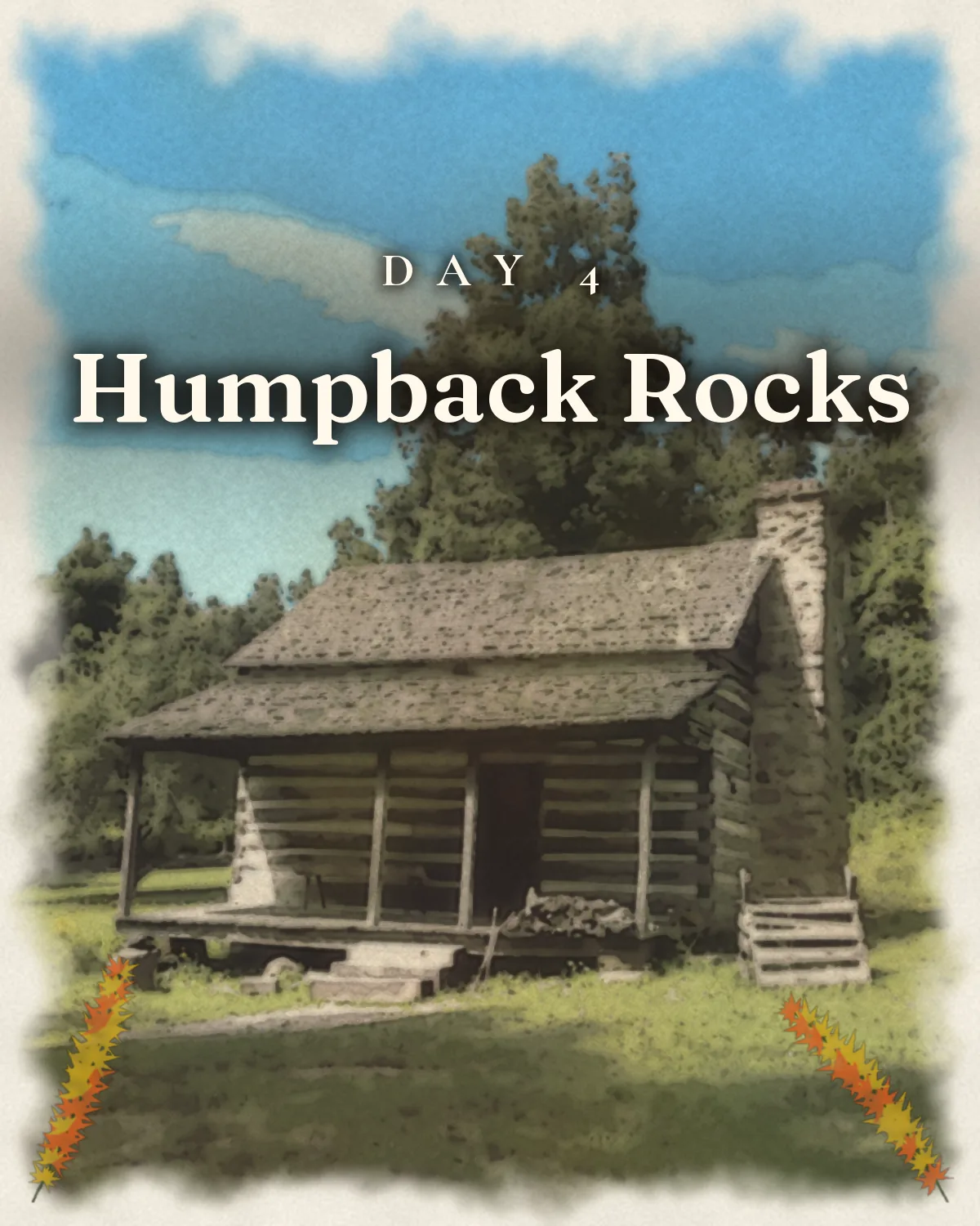
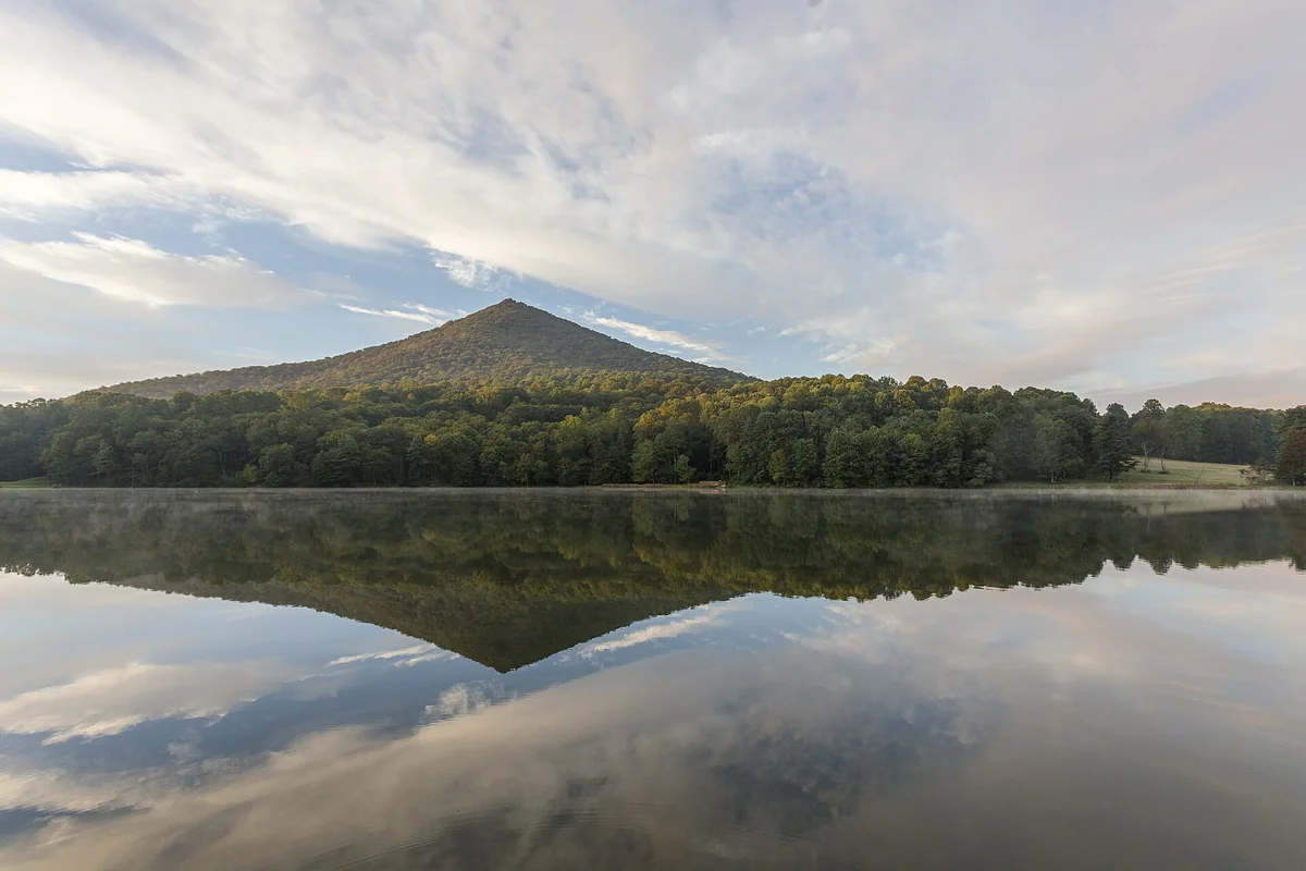
The last two days get gentler: an 1890s mountain farm or a steep summit at Humpback Rocks, then a flat loop around Abbott Lake beneath Sharp Top. The schedule has room in it on purpose. Color moves with elevation, ridge weather turns quickly, and the unplanned picnic stop is usually the one everyone remembers.

On this trip

A Sense of Place

Culture, food, history and traditions for each place you’ll walk.

On this trip

A Sense of Place

Culture, food, history and traditions for each place you’ll walk.

The trip in 60 seconds

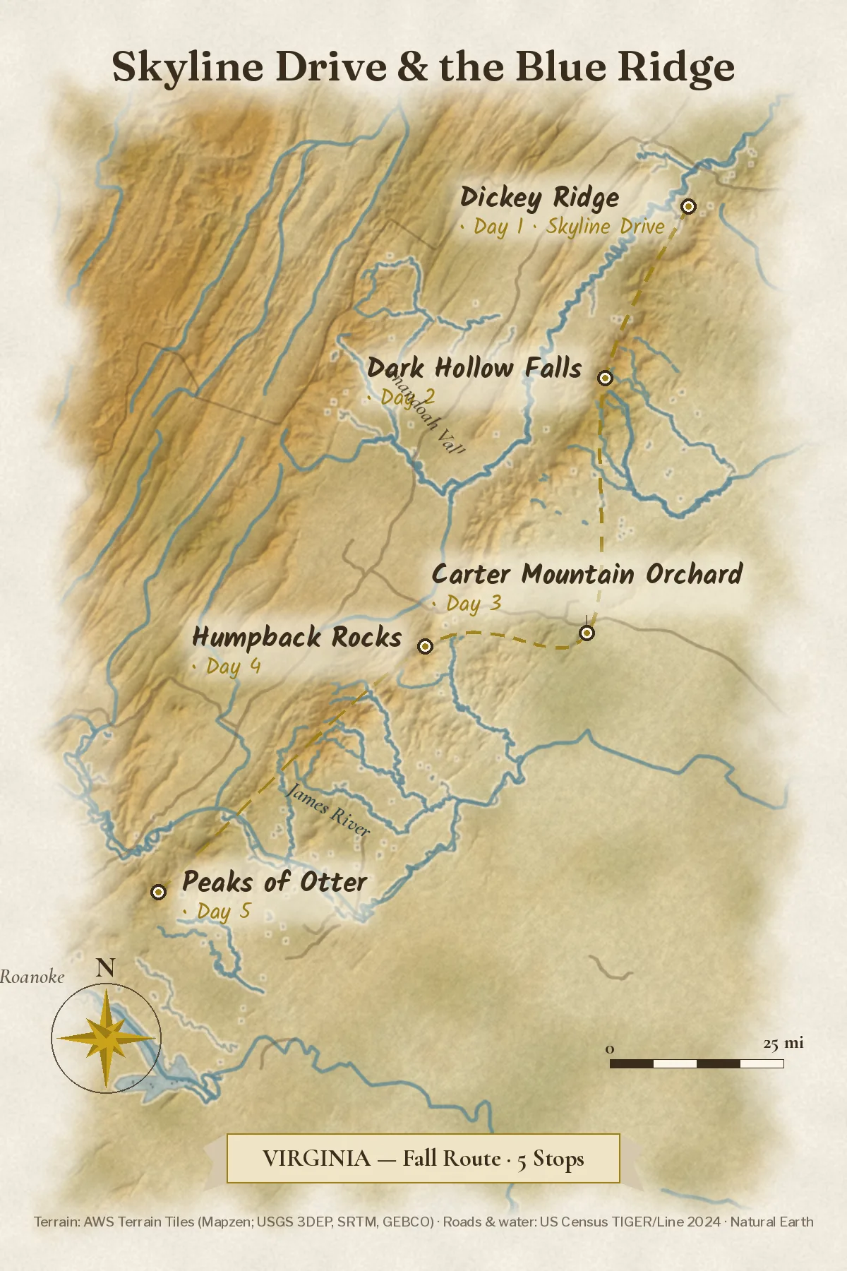
Original IllustrationIllustrated route map of Skyline Drive & the Blue Ridge on real terrain, stops in order
Skyline Drive · saveable route: Front Royal, Big Meadows, the orchard, Humpback, Peaks of Otter

Under this sky

The Season Here

Skyline Drive and the Blue Ridge

Typical November highs sit around 48°F, with nights near 32°F.

  1. NovemberThis monthTypical high 48°, low 32°
  2. DecemberNextTypical high 40°, low 24°
  3. JanuaryThenTypical high 36°, low 19°
See the full 14-day forecast

The next three months

Sky & weather

Forecast for Skyline Drive

Forecast · refreshes daily

Sun today

Sunrise–Daylight–Sunset–

Sun times load with the forecast.

Typical by month

MonthHighLowHigh / lowWhat to expectExpect
Jan36°19°36° / 19°Coldest monthColdest
Feb38°22°38° / 22°Winter; days near 38, nights near 22Winter
Mar44°27°44° / 27°Spring; days near 44, nights near 27Spring
Apr57°37°57° / 37°Spring; days near 57, nights near 37Spring
May64°46°64° / 46°Spring; days near 64, nights near 46Spring
Jun70°54°70° / 54°Summer; days near 70, nights near 54Summer
Jul75°59°75° / 59°Warmest monthWarmest
Aug72°58°72° / 58°Summer; days near 72, nights near 58Summer
Sep69°52°69° / 52°Fall; days near 69, nights near 52Fall
Oct58°42°58° / 42°Fall; days near 58, nights near 42Fall
Nov48°32°48° / 32°Fall; days near 48, nights near 32Fall
Dec40°24°40° / 24°Winter; days near 40, nights near 24Winter

Typical: NOAA 1991–2020 U.S. Climate Normals.

The route

The five-day route

One anchor a day, short drives between them, and camp set up before dark. Leave slack for overlooks you didn’t plan on.

Make it yours

Two ways to make this trip yours.

Free with an account: this guide as written, with its map and day-by-day plan.

Fits this guide

Your Edition

Same place, same length. Fitted to your group, season and pace.

From $7.99Members $5.99 · Join Freedom Passport · Member price applied

This 5-day guide: $9.99 · members $6.99

  • This guide’s route, re-paced for who’s coming
  • Food hotspots and picks along the way
  • An occasion moment for a birthday, anniversary or first trip
  • Group notes, season notes, packing list and playlist
  • Lives on its trip page and in the app

Uses the guide’s illustrations. No new artwork.

Get Your Edition

Custom Trip

Any combination of places, built from scratch.

From $39Members $29 · Join Freedom Passport · Member price applied

Getaway $39 · Journey $69 · Grand Journey $119

  • Any combination of locations, not limited to a prebuilt itinerary
  • A deeper dive: 3 full itineraries a day, Saver, Sweet spot and Splurge
  • Its own custom artwork, made for your trip
  • Any length up to 21 days, with a trip page and a PDF
Get a Custom Trip

Your Edition fits this guide to your group. A Custom Trip goes deeper: any combination of locations, with its own custom artwork.

Freedom Passport members pay $6.99 and up for Your Edition and from $29 for a Custom Trip. See Freedom Passport

Member prices on every Your Edition and Custom Trip, plus a free Your Edition after 3 paid months (monthly plan). Partner perks coming soon.

Compare side by side

Illustrated travel journal with a winding route and pinsCustom Trip

How we tailor your Skyline Drive plan

A plan that knows how you travel.

3 full itineraries in every plan, Saver to Splurge, so you can pick or mix.

🌙 Your rhythm

Need a midday break? We put the busiest stop in the morning, so afternoons stay easy.

🥾 Your needs

Prefer shorter walks? We pick stops that are easy to reach.

🌄 Your kind of day

Kids restless in the car? We break up long drives with a stop worth seeing.

3 full itineraries in every plan

Saver, Sweet spot and Splurge, each a complete day-by-day plan. Pick one or mix.

All 3 in your plan
$SaverSmart value
$$Sweet spotGood balance
$$$SplurgeTreat yourself
See it in a sample plan

Yours from $39. Members $29.

Every plan is built around you, your pace and your must-dos.

Longer trips: 15–100 days $127–$807, members $84–$509.

Journey (4–8 days) · $69 · members $49

Art & photos

  • 8 original illustrations of your trip's highlights
  • 14 destination photos to preview each stop1 cover · 6 daily · 7 postcards

Planning

  • Timed itinerary so every day runs at an easy pace
  • 3 full itineraries Saver, Sweet spot and Splurge, so you can pick or mix
  • 3 curated stays per stop to match your budget
  • Where to eat for breakfast, lunch and dinner, plus local tips every day
  • Tap-to-go routes to every hotel, activity and restaurant, opening straight in your maps app
  • Booking timeline so you book the right things in the right order
  • Packing list made for every traveler coming
  • 6 rainy-day backup plans so a wet day still feels like vacation

Your plan, your way

  • Digital trip page in your account, on any device
  • PDF to save, print or share
  • Trip playlist with song links for Spotify and Apple Music
  • Calendar file that drops every day into your calendar
  • Budget estimate so you know the cost before you go
  • 1 free refinement to tweak anything after delivery

Full refund any time up until delivery of the plan. Report a wrong fact and we’ll correct it and send you an updated plan, free. 1 free refinement after delivery (2 on Grand Journey)

Our promise

  • Full refund any time up until delivery of the plan. Change your mind any time before your plan is delivered and we’ll refund you in full. If you report a wrong fact in your plan, we’ll correct it and send you an updated plan, free.
  • One free refinement after delivery (two on Grand Journey). Tell us what to change and we’ll refine it.
  • Spotted an error? Tell us which fact on this page looks wrong and we’ll review it.

The people behind the plans

Who is Earth Adventure Travel?

We build routes for real life — wrangling kids, spanning generations, or heading out solo — and review key details regularly. Things change and we can miss some, so we link the official sources for you to confirm before you go.

Learn About Us

Before you go

Pack for cold nights. Reserve the campsites early.

What earns space

  • Warm sleeping bags rated to 30°F: October nights on the crest drop fast
  • Layers for 40° mornings and 70° afternoons
  • Rain shells and grippy hiking shoes for wet rock
  • Camp stove, cooler, and a simple meal plan
  • Headlamps: dusk comes before 6:45 p.m. by late October
  • A paper park map or downloaded route notes, since cell signal is patchy
  • Binoculars for deer at Big Meadows and migrating hawks
  • A small cooler for cider and doughnuts
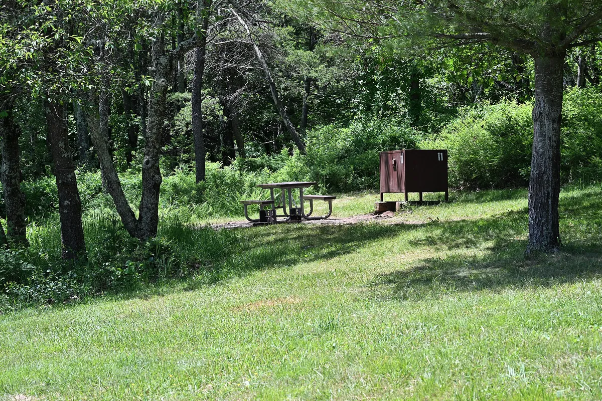
A shaded grassy campsite with a picnic table and food locker under tall trees at Big Meadows Campground
Tent site. Big Meadows Campground · a wooded tent site near mile 51, the trip’s two-night base on the crest
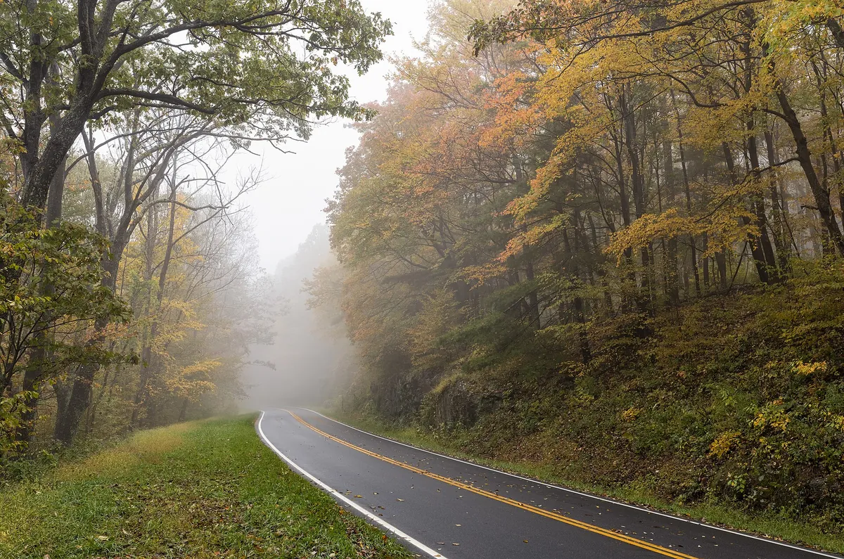
Skyline Drive disappearing into fog between yellow fall trees
Rain layer. Skyline Drive · fog lifting through fall color, the kind of morning a rain shell earns its space
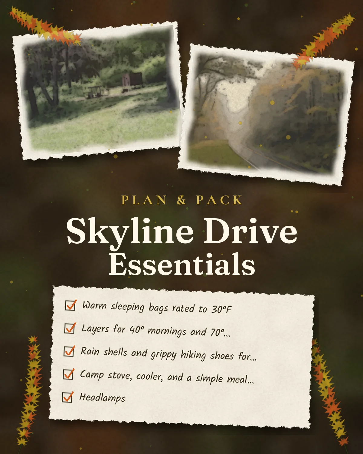
Saveable plan graphic for five fall days on Skyline Drive and the Blue Ridge
Skyline Drive in five days · saveable plan: overlooks, falls, orchard, farm, lake

Campground strategy

Big Meadows takes reservations only, and October weekends book out months ahead on Recreation.gov. Loft Mountain and Peaks of Otter take reservations too; check each campground’s closing date, because several shut by early November.

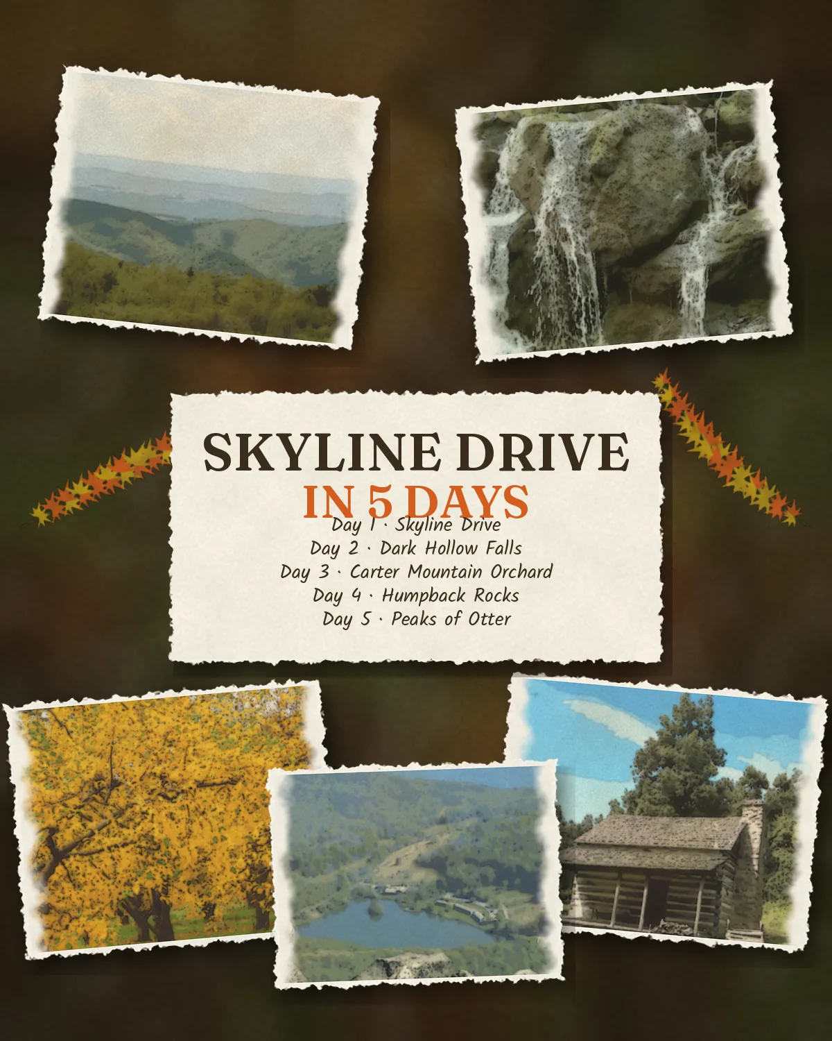
Saveable recap graphic for the Skyline Drive and Blue Ridge fall campout
Skyline Drive & the Blue Ridge · saveable recap of all five days on one card

Make the drive the activity

Give each kid a job: overlook counter, map reader, wildlife spotter. Skyline Drive’s mileposts run north to south, so a printed list of stops with mile numbers turns the 35 mph road into a scavenger hunt.

Quick answers

Planning notes

When does fall color peak on Skyline Drive?

There is no dependable single peak date. Color shifts with elevation, temperature, rain, and wind. October is the broad target; check the park’s current fall-color reports and webcams shortly before leaving, then keep the itinerary flexible.

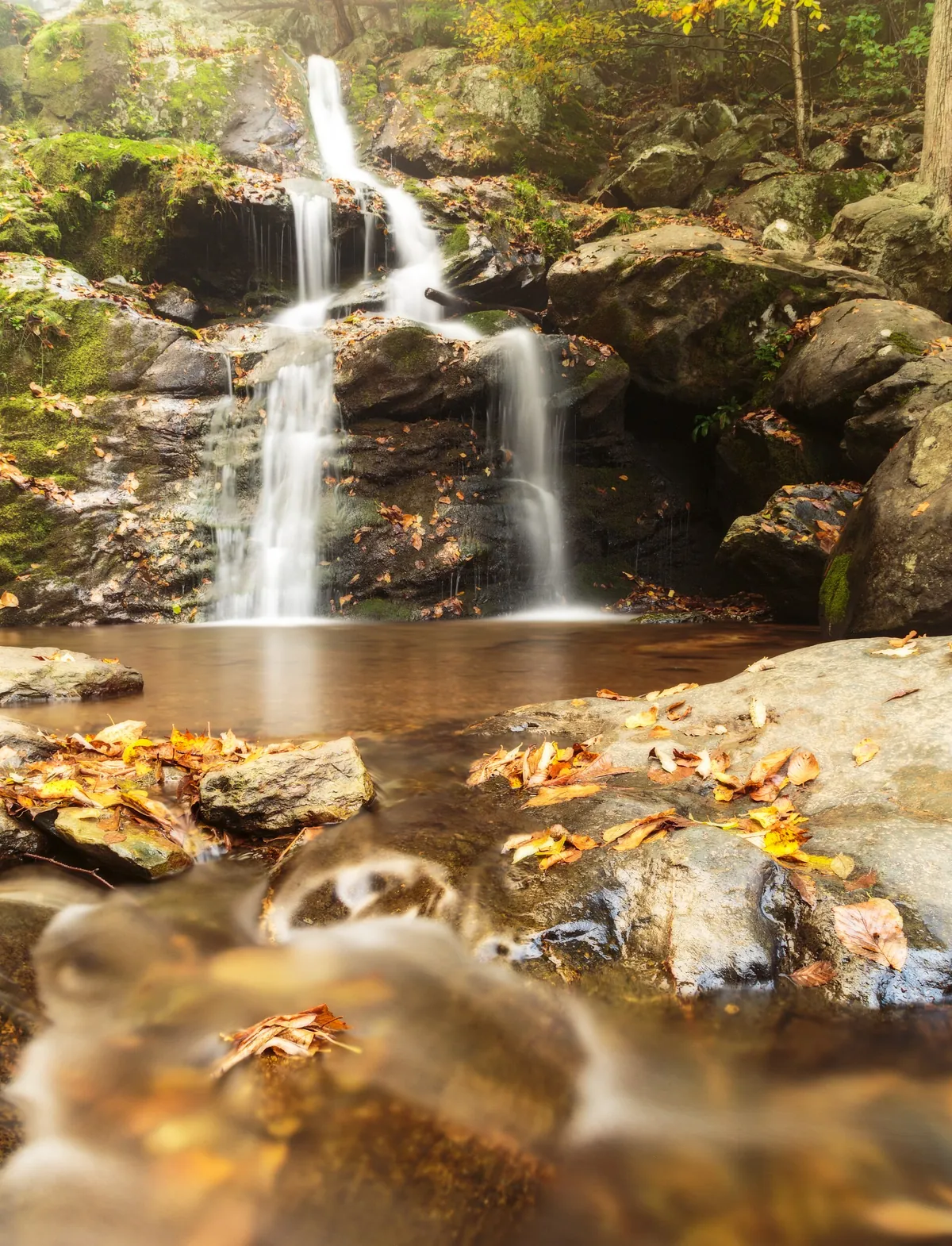
Is Dark Hollow Falls easy for children?

The distance is short, but the return climb is steep and rocky. Many active children ages 6–12 can handle it with time, water, and sturdy shoes. Adults should judge the day’s conditions and each child’s experience rather than relying on mileage alone.

Do we need reservations for the campgrounds?

Yes, plan on reserving fall campsites well ahead. Big Meadows sites are reservation-only according to the National Park Service. Verify each campground’s operating dates and policies before the trip.

Does the Blue Ridge Parkway charge admission?

No entrance fee is charged for traveling the Parkway. Shenandoah National Park does charge admission; the itinerary’s $30 vehicle-pass figure is a seven-day planning figure that should be reconfirmed before travel.

What if part of the Parkway is closed?

Check the National Park Service alerts and conditions page before departure and again on driving mornings. Weather, maintenance, and repair work can close sections or facilities. Keep the closest highway alternative downloaded before entering low-service areas.

Is Skyline Drive worth it if you don't hike?

Absolutely — Skyline Drive was designed for drivers, with 76 overlooks strung along 105 miles of Blue Ridge crest. You can experience the entire park from the car and short paved pullouts: sweeping valley views, waterfalls visible from overlooks, and wildlife often spotted from the road. The 35 mph speed limit keeps things relaxed, and waysides like Big Meadows offer food, exhibits, and ranger programs without a single trail step.

Can you drive all 105 miles of Skyline Drive in one day during peak fall?

Technically yes, but you shouldn't. At the 35 mph speed limit the drive alone takes about three hours, and in peak foliage season traffic at the 76 overlooks can double that. Plan a full day with stops, or split it across two days with an overnight at Skyland or Big Meadows. Peak weekends bring the heaviest congestion — enter at Front Royal or Rockfish Gap before 9 a.m.

How do you check for Skyline Drive and Blue Ridge Parkway road closures before a fall trip?

Check the National Park Service alerts pages the morning you drive: nps.gov/shen for Skyline Drive status and nps.gov/blri for Blue Ridge Parkway real-time closures. Both roads close sections for weather, rockslides, and maintenance with little notice in fall. Download offline maps before you go — cell service is spotty along both roads. Have a backup plan: parallel valley roads like US-340 still offer mountain views.

Before you set off — the official checks

Passes, campsites, and road status. Confirm current details on the sites listed under official links.

Official sites, not partners. We don't earn from these.

Freedom Passport

Planning your next trip?

Member prices on every Your Edition and Custom Trip, a free Your Edition every quarter, and up to 12 planning questions a month. Partner perks coming soon.

$3.99 a month or $29.99 a year

Join Freedom Passport

References

Research behind this guide

The reporting and research that shaped this itinerary.

Photo credits

Photos via Wikimedia Commons, resized and converted to WebP. Illustrations are original watercolor adaptations of the credited photos; plan and recap cards reuse this guide’s own photos.

  • Skyline Drive — photo by APK, CC BY-SA 4.0
  • Hazeltop Ridge Overlook — photo by G. Edward Johnson, CC BY 4.0
  • Dark Hollow Falls — photo by ShenandoahNPS, public domain
  • Loft Mountain Overlook — photo by Famartin, CC BY-SA 4.0
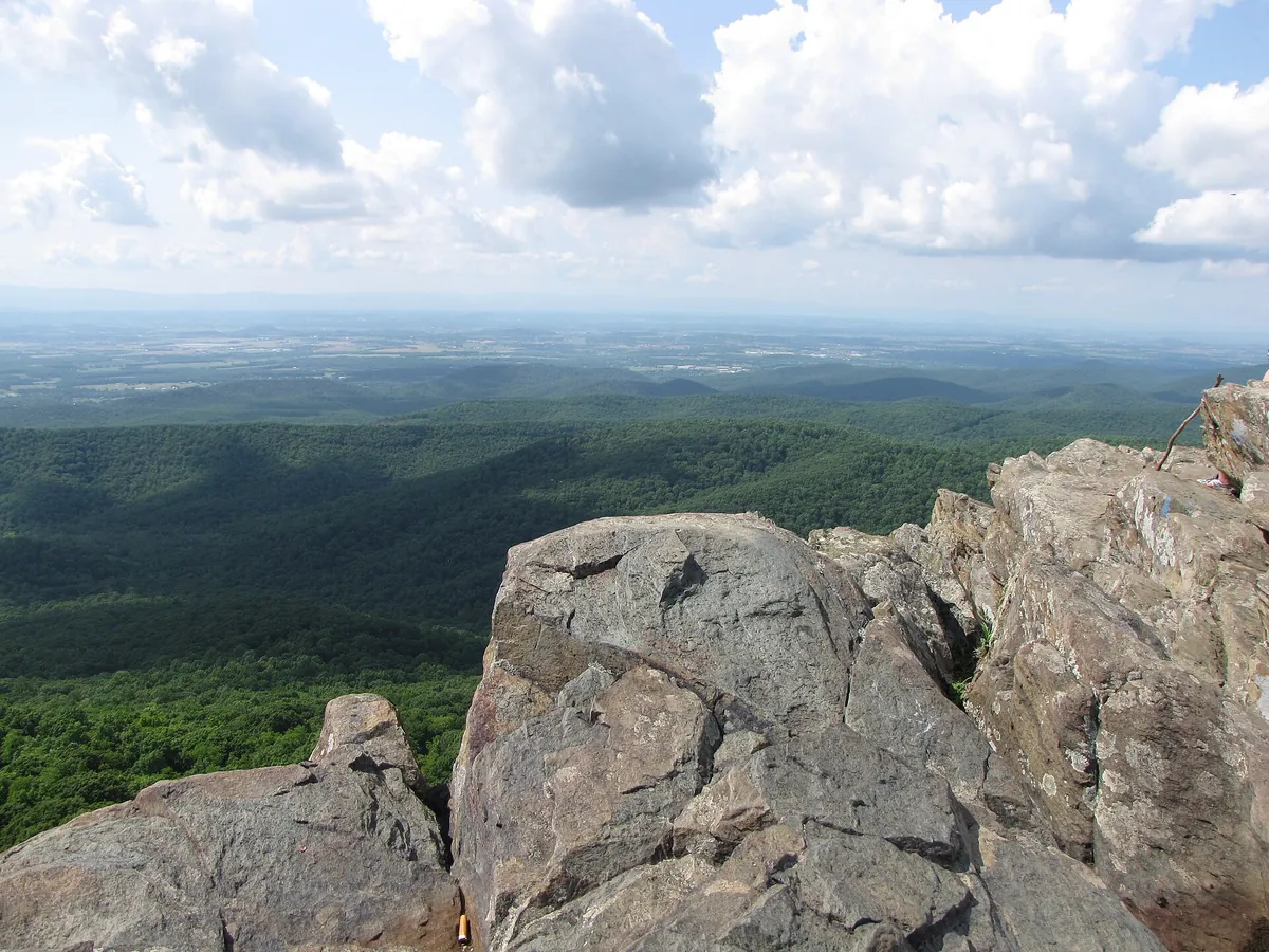
  • Humpback Rocks — photo by Ben Schumin from Montgomery Village, Maryland, USA, CC BY-SA 2.0
  • Abbott Lake — photo by Acroterion, CC BY-SA 4.0
  • Big Meadows Campground — photo by G. Edward Johnson, CC BY 4.0
  • Skyline Drive — photo by ShenandoahNPS, public domain
  • Cover illustration — illustrated adaptation of a photo by Famartin, CC BY-SA 4.0; this adaptation is shared under the same license (CC BY-SA 4.0)
  • Day 1 illustration — illustrated adaptation of a photo by G. Edward Johnson, CC BY 4.0
  • Day 2 illustration — illustrated adaptation of a photo by APK, CC BY-SA 4.0; this adaptation is shared under the same license (CC BY-SA 4.0)
  • Day 3 illustration — illustrated adaptation of a photo by Rory from Front Royal, VA, USA, CC BY 2.0
  • Day 4 illustration — illustrated adaptation of a photo by Ser Amantio di Nicolao, CC0
  • Day 5 illustration — illustrated adaptation of a photo by Unknown authorUnknown author or not provided, Public domain
  • Route map — terrain from AWS Terrain Tiles (Mapzen; USGS 3DEP, SRTM, GEBCO); roads and water from US Census TIGER/Line 2024; lakes, rivers and state lines from Natural Earth (public domain)

The trip index

Choose the landscape. Then choose the pace.

Every guide on the site, filtered the same way everywhere: region, season, who is going, style, trip type and length.

Every guide is listed on All trips (the filters here need JavaScript).

Browse by Where · Who's going · When · Trip type · How long.

Trip types: Festivals & events ·  Anniversaries & milestones ·  Cultural festivals & parades · National parks & wild places ·  State park getaways ·  Waterfalls & gorges ·  Volcanoes & geothermal wonders ·  Stargazing & northern lights ·  Camping & cabins ·  Wildlife watching & birding ·  Desert & canyon parks ·  Mountain & alpine parks ·  Coastal & island parks ·  Forests, rainforests, caves & wetlands · Road trip ·  Historic route ·   Route 66 ·   Natchez Trace Parkway ·  Mountain & scenic byways ·   Blue Ridge Parkway ·  National park road trip ·  Road trip abroad ·  Coastal drives ·   Pacific Coast Highway ·  Desert & canyon drives ·  Ferry & island road trip · Active & adventure trip ·  Paddling, kayaking & rafting ·  Snowshoeing, dog sledding & winter sports ·  Hiking & backpacking ·  Biking & rail-trails ·  Multi-sport adventure trip · City trip & culture ·  Live music & nightlife ·  Theme parks & family attractions ·  Museums: art, science & history ·  Film, TV & literary trip ·  Architecture & design ·  Theater & performing arts ·  Big cities ·  Smaller cities ·  Cities near the outdoors · Scenic train rides ·  Heritage & excursion railroads ·  Long-distance rail journeys ·  Car-free trip by train ·  Rail journeys abroad · Mountain getaways & ski ·  Ski trip ·  Snowy escapes without skiing ·  Summer mountain towns ·  Red rock & desert mountain towns ·  Alps, highlands & big ranges abroad · Spa, cruise & splurge trip ·  Wellness retreats & yoga ·  Spas & hot springs ·  Cruises, river & canal boats ·   Ocean cruises ·   Alaska Inside Passage cruise ·  Splurge trip ·  Slow, restful trip · History & culture ·  Lighthouses, forts & sea history ·  Castles & old towns ·  Mansions & grand estates ·  Ancient sites & ruins ·  Civil War sites ·  Historic small towns & covered bridges ·  Presidential & military history ·  Pilgrimages & sacred sites ·  Old West, ghost & mining towns ·  Civil rights & Black history ·  Colonial & Revolutionary history ·  Native American & Indigenous heritage · Beach vacations & islands ·  Snorkeling & diving ·  Beach towns ·  Island hopping ·  Tropical islands & the Caribbean ·  Mediterranean coasts & islands ·  Rugged coastlines ·  Surf towns · Food & wine trip ·  Markets, street food & food halls ·  Breweries & distilleries ·  Seafood & coastal eating ·  Fine-dining splurges ·  Wine country ·  Farm-to-table, orchards & cider ·  Coffee, cheese & sweet treats ·  Food cities (US & Canada) ·  Regional American food ·   Barbecue trails ·   Tex-Mex & Southwest flavors ·   Southern, Cajun & Creole cooking ·  Eating your way abroad ·   Japanese food ·   Italian food ·   Mexican food ·   French food ·   Spanish & Portuguese food ·   Southeast Asian food ·   Korean food ·   Central European food ·   Irish & British food · Bucket-list trip ·  Machu Picchu & the Inca Trail ·  Camino de Santiago ·  Iceland Ring Road · By departure city ·  From New York City ·  From Los Angeles ·  From Chicago ·  From Washington, DC ·  From Boston ·  From San Francisco Bay Area · By travel time ·  Under 2 hours by car ·  2 to 4 hours by car.