4 days · Big Bend National Park, Texas

Four days under Big Bend’s dark skies

A canyon cut by the Rio Grande, the Chisos Basin, a riverside hot spring, and some of the darkest night skies in the lower 48. A solo route timed for the new moon.

4 days / 3 nightsMarch–May or Oct–NovSolo · remote drivingEstimate: $700–$1,300 solo
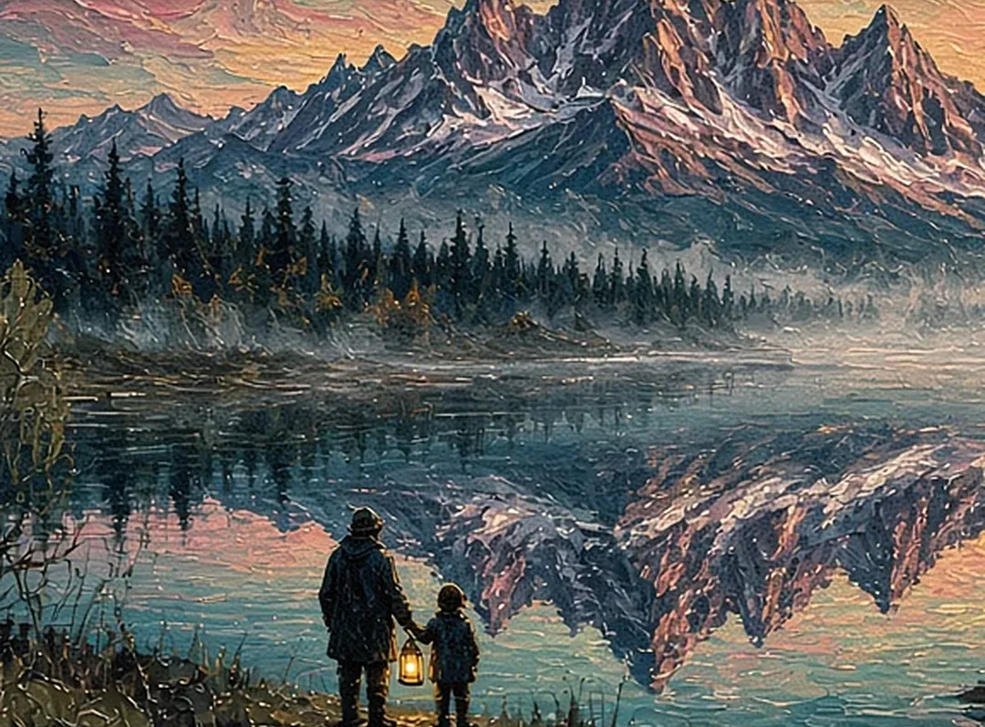
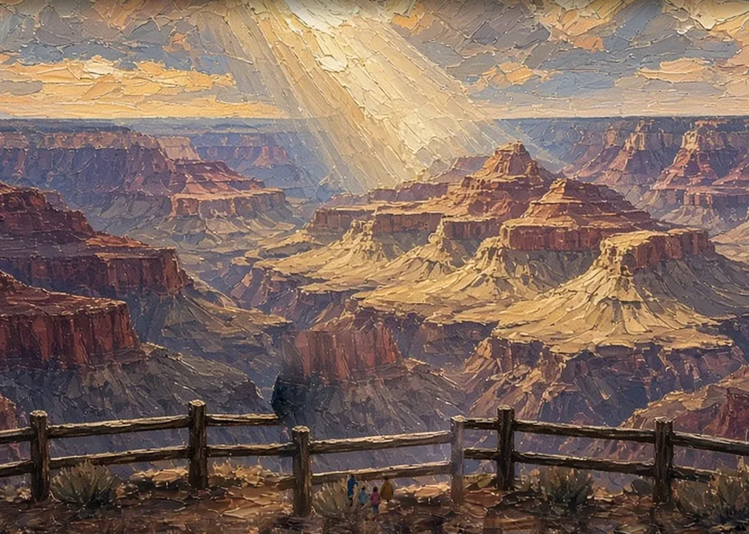
Illustrated cover artwork for four days: Big Bend dark skies
Original itinerary artwork

Reviewed How we verify

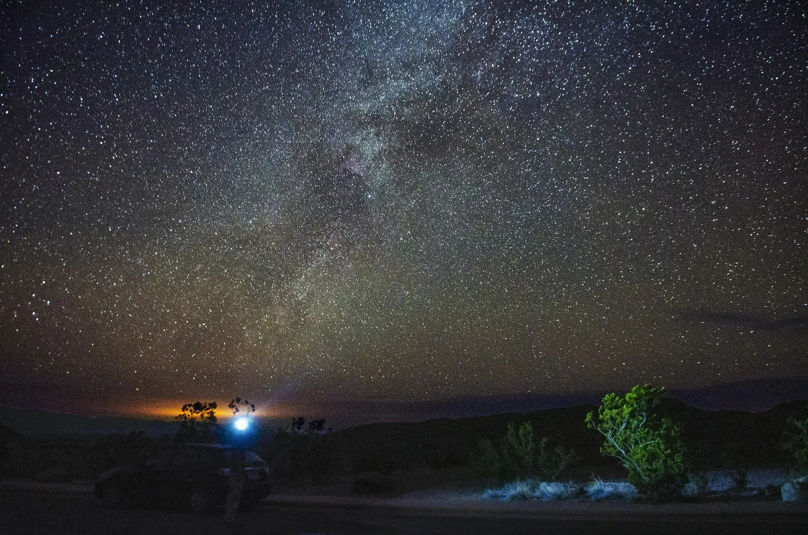
The Milky Way arching over desert brush at Big Bend, with a small light glowing near the horizon
Big Bend · the Milky Way over the desert, in one of the darkest night skies of any national park in the lower 48

The idea

A park bigger than Rhode Island, and the sky doing the rest.

Big Bend rewards people who like their own company. The roads are long, the phone doesn’t work, and after dark the Milky Way is bright enough to cast a shadow on a new-moon night. This plan keeps the driving reasonable, puts you in one lodge for three nights, and leaves every evening free for the sky.

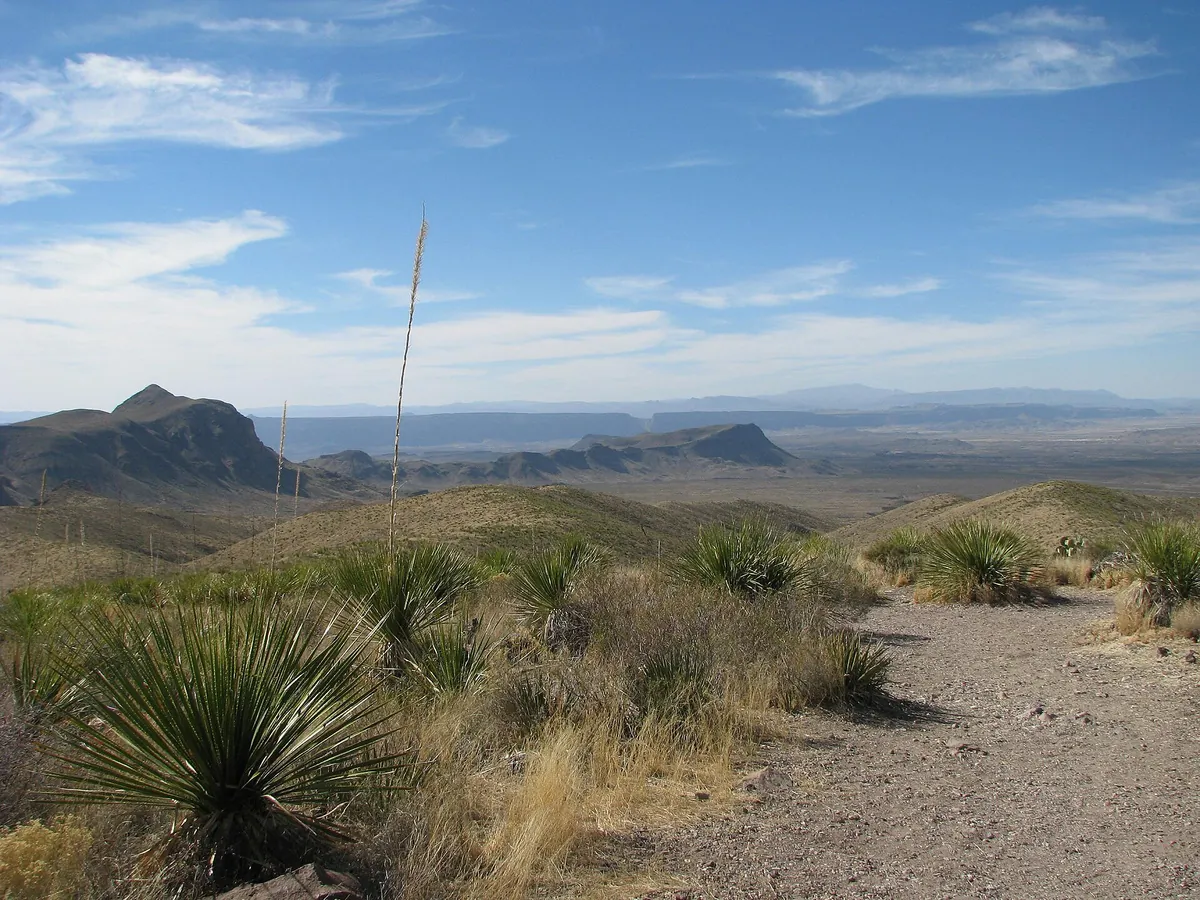
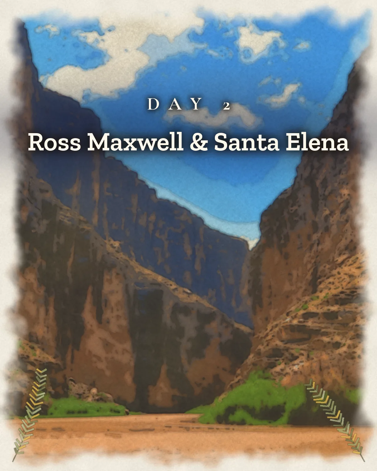
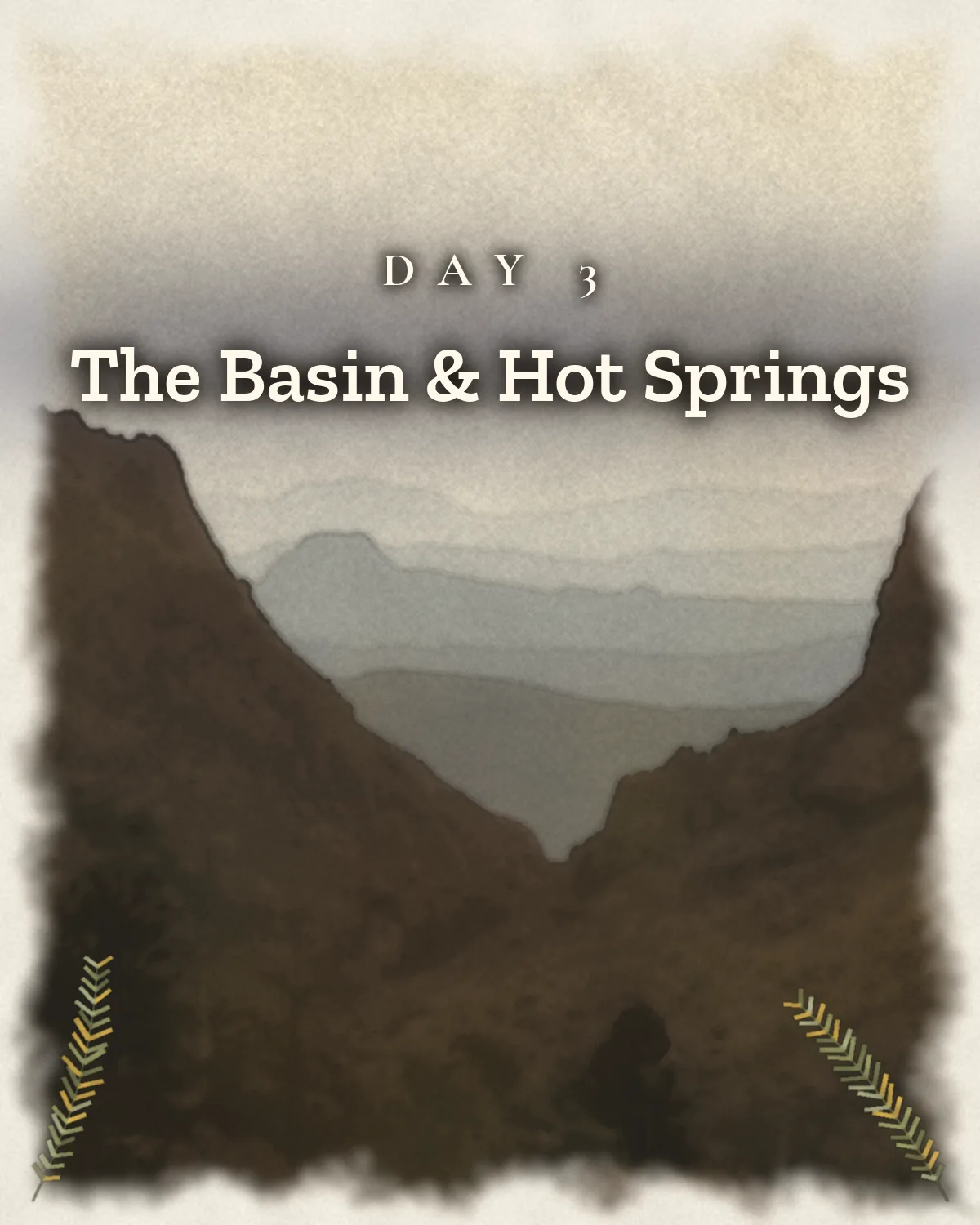
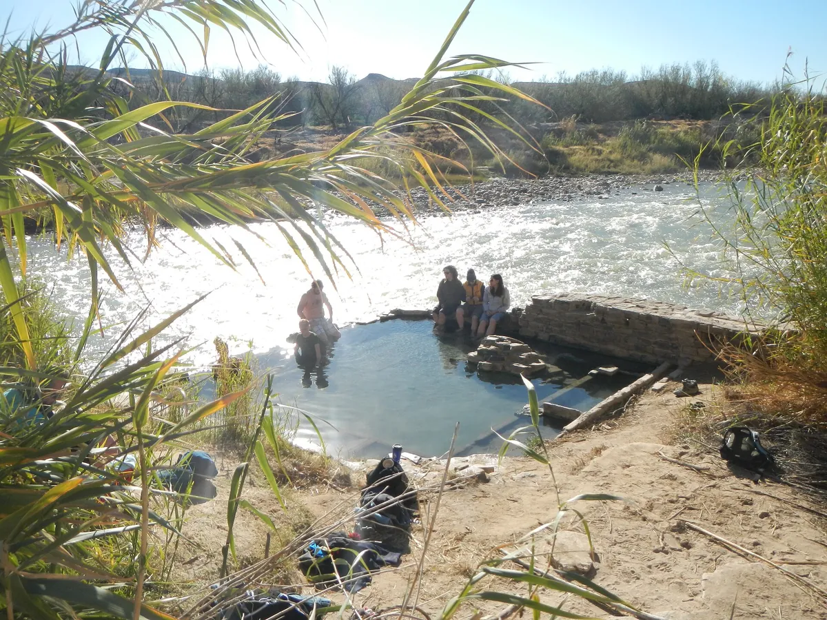
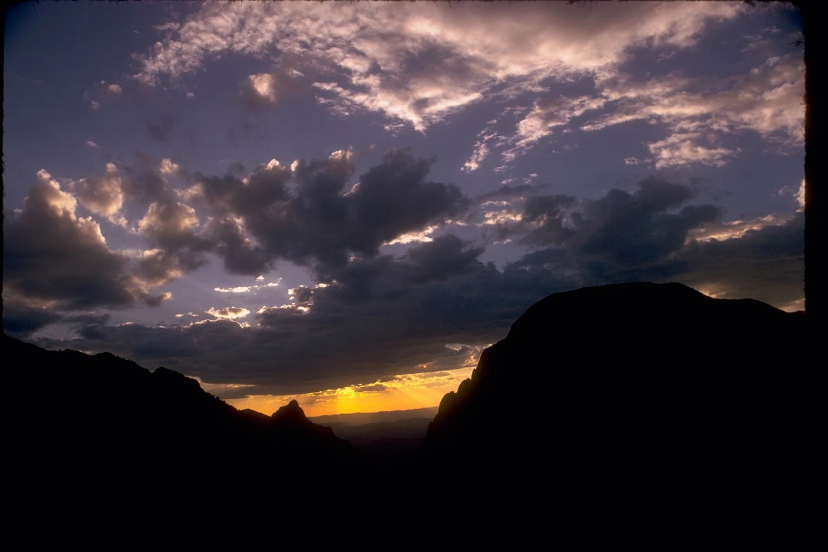
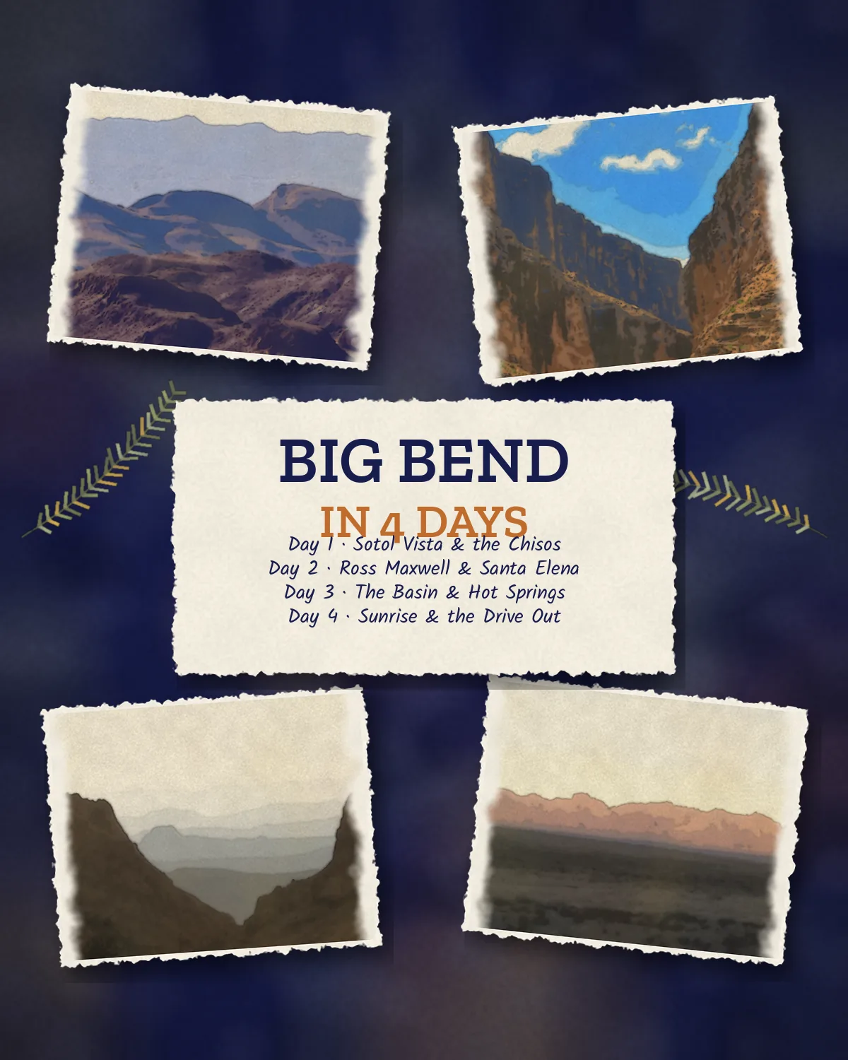
Day one drives in from Midland or El Paso, stops at Sotol Vista and settles into the Chisos Mountains Lodge. Day two runs the Ross Maxwell Scenic Drive past Mule Ears and Tuff Canyon to Castolon; the paved road on to Santa Elena Canyon is closed until further notice per NPS, so you'll see the canyon from Sotol Vista instead. Day three starts with a Basin trail, then follows the Rio Grande to Boquillas Canyon while Hot Springs Road is closed. Day four is sunrise through the Window and the long drive out.

Time the trip to the new moon, fill the gas tank in Marathon, and tell someone your daily plan. March through May and October through November give you dark skies without the worst of the summer heat.

On this trip

A Sense of Place

Culture, food, history and traditions for each place you’ll go.

On this trip

A Sense of Place

Culture, food, history and traditions for each place you’ll go.

The trip in 60 seconds

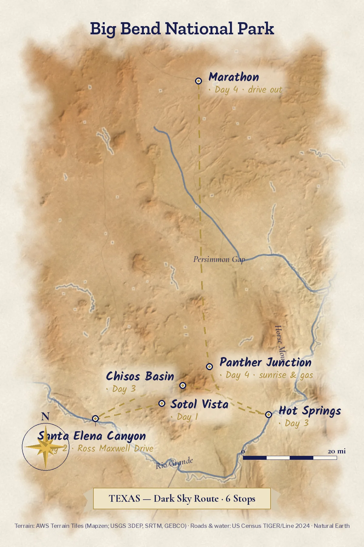
Original IllustrationIllustrated route map of Big Bend National Park on real terrain, drawn before the October 2026 road closures, stops in order
Big Bend in four days · map drawn before the October 2026 road closures; this plan now runs Sotol Vista, the Ross Maxwell to Castolon, the Basin, Boquillas Canyon, then out

Under this sky

The Season Here

Big Bend · Chisos Basin

Typical November highs sit around 65°F, with nights near 45°F.

  1. NovemberThis monthTypical high 65°, low 45°
  2. DecemberNextTypical high 59°, low 39°
  3. JanuaryThenTypical high 58°, low 38°
See the full 14-day forecast

The next three months

Sky & weather

Forecast for Big Bend

Forecast · refreshes daily

Sun today

Sunrise–Daylight–Sunset–

Sun times load with the forecast.

Typical by month

MonthHighLowHigh / lowWhat to expectExpect
Jan58°38°58° / 38°0.6 in precip; coldest monthColdest
Feb63°41°63° / 41°0.6 in precipMild
Mar69°46°69° / 46°0.5 in precipMild
Apr76°52°76° / 52°0.6 in precipMild
May83°60°83° / 60°1.6 in precipWarm
Jun87°65°87° / 65°2.7 in precip; warmest monthWarmest
Jul85°65°85° / 65°3.6 in precip; often the wettestWettest
Aug84°65°84° / 65°3.1 in precipWarm
Sep79°60°79° / 60°2.7 in precipMild
Oct74°54°74° / 54°1.3 in precipMild
Nov65°45°65° / 45°0.6 in precipMild
Dec59°39°59° / 39°0.5 in precip; driest monthDriest

Typical: NOAA 1991–2020 normals, Chisos Basin.

The route

The four-day route

Mornings on the trail or the scenic drive, afternoons in the shade, nights outside. Carry more water than the day seems to need.

Make it yours

Two ways to make this trip yours.

Free with an account: this guide as written, with its map and day-by-day plan.

Fits this guide

Your Edition

Same place, same length. Fitted to your group, season and pace.

From $7.99Members $5.99 · Join Freedom Passport · Member price applied

This 4-day guide: $9.99 · members $6.99

  • This guide’s route, re-paced for who’s coming
  • Food hotspots and picks along the way
  • An occasion moment for a birthday, anniversary or first trip
  • Group notes, season notes, packing list and playlist
  • Lives on its trip page and in the app

Uses the guide’s illustrations. No new artwork.

Get Your Edition

Custom Trip

Any combination of places, built from scratch.

From $39Members $29 · Join Freedom Passport · Member price applied

Getaway $39 · Journey $69 · Grand Journey $119

  • Any combination of locations, not limited to a prebuilt itinerary
  • A deeper dive: 3 full itineraries a day, Saver, Sweet spot and Splurge
  • Its own custom artwork, made for your trip
  • Any length up to 21 days, with a trip page and a PDF
Get a Custom Trip

Your Edition fits this guide to your group. A Custom Trip goes deeper: any combination of locations, with its own custom artwork.

Freedom Passport members pay $6.99 and up for Your Edition and from $29 for a Custom Trip. See Freedom Passport

Member prices on every Your Edition and Custom Trip, plus a free Your Edition after 3 paid months (monthly plan). Partner perks coming soon.

Compare side by side

Illustrated travel journal with a winding route and pinsCustom Trip

How we tailor your Big Bend plan

A plan that knows how you travel.

3 full itineraries in every plan, Saver to Splurge, so you can pick or mix.

🌙 Your rhythm

Early riser? We put the busiest stop first, before the crowds arrive.

🥾 Your needs

Want easy evenings? Each night's stay is a short walk from dinner.

🌄 Your kind of day

Rather skip the crowds? We trade the busiest overlook for a quieter sunrise spot.

3 full itineraries in every plan

Saver, Sweet spot and Splurge, each a complete day-by-day plan. Pick one or mix.

All 3 in your plan
$SaverSmart value
$$Sweet spotGood balance
$$$SplurgeTreat yourself
See it in a sample plan

Yours from $39. Members $29.

Every plan is built around you, your pace and your must-dos.

Longer trips: 15–100 days $127–$807, members $84–$509.

Journey (4–8 days) · $69 · members $49

Art & photos

  • 8 original illustrations of your trip's highlights
  • 14 destination photos to preview each stop1 cover · 6 daily · 7 postcards

Planning

  • Timed itinerary so every day runs at an easy pace
  • 3 full itineraries Saver, Sweet spot and Splurge, so you can pick or mix
  • 3 curated stays per stop to match your budget
  • Where to eat for breakfast, lunch and dinner, plus local tips every day
  • Tap-to-go routes to every hotel, activity and restaurant, opening straight in your maps app
  • Booking timeline so you book the right things in the right order
  • Packing list made for every traveler coming
  • 6 rainy-day backup plans so a wet day still feels like vacation

Your plan, your way

  • Digital trip page in your account, on any device
  • PDF to save, print or share
  • Trip playlist with song links for Spotify and Apple Music
  • Calendar file that drops every day into your calendar
  • Budget estimate so you know the cost before you go
  • 1 free refinement to tweak anything after delivery

Full refund any time up until delivery of the plan. Report a wrong fact and we’ll correct it and send you an updated plan, free. 1 free refinement after delivery (2 on Grand Journey)

Our promise

  • Full refund any time up until delivery of the plan. Change your mind any time before your plan is delivered and we’ll refund you in full. If you report a wrong fact in your plan, we’ll correct it and send you an updated plan, free.
  • One free refinement after delivery (two on Grand Journey). Tell us what to change and we’ll refine it.
  • Spotted an error? Tell us which fact on this page looks wrong and we’ll review it.

The people behind the plans

Who is Earth Adventure Travel?

We build routes for real life — wrangling kids, spanning generations, or heading out solo — and review key details regularly. Things change and we can miss some, so we link the official sources for you to confirm before you go.

Learn About Us

Before you go

Pack for heat by day and cold by night. Tell someone your plan.

What earns space

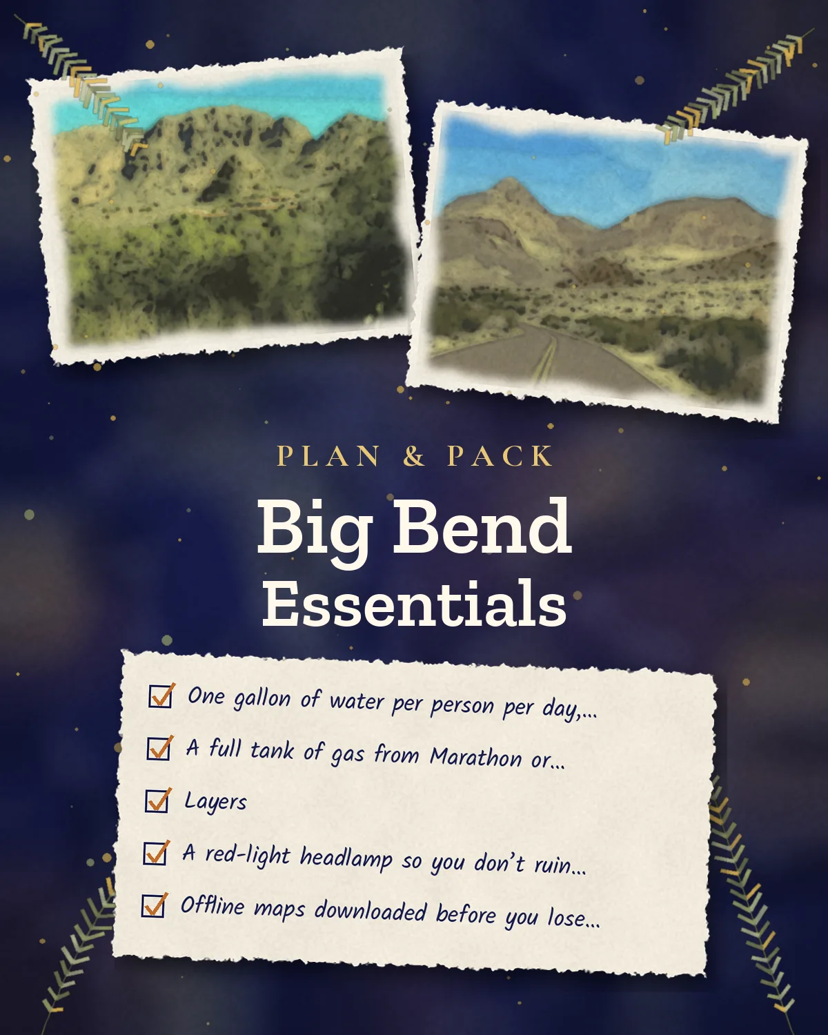
  • One gallon of water per person per day, plus a backup gallon in the car
  • A full tank of gas from Marathon or Alpine, and a checked spare tire
  • Layers: desert days pass 90°F and Basin nights drop into the 40s
  • A red-light headlamp so you don’t ruin your night vision
  • Offline maps downloaded before you lose signal south of Marathon
  • Sturdy shoes, sun hat, sunscreen and lip balm
  • A paper copy of your daily plan left with someone at home
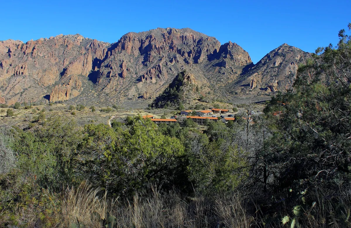
The Chisos Mountains Lodge cabins tucked against steep rocky peaks under a clear blue sky
Layers. Chisos Mountains Lodge · stone cabins against the Basin walls, the only in-park lodging and a 5,400-foot base
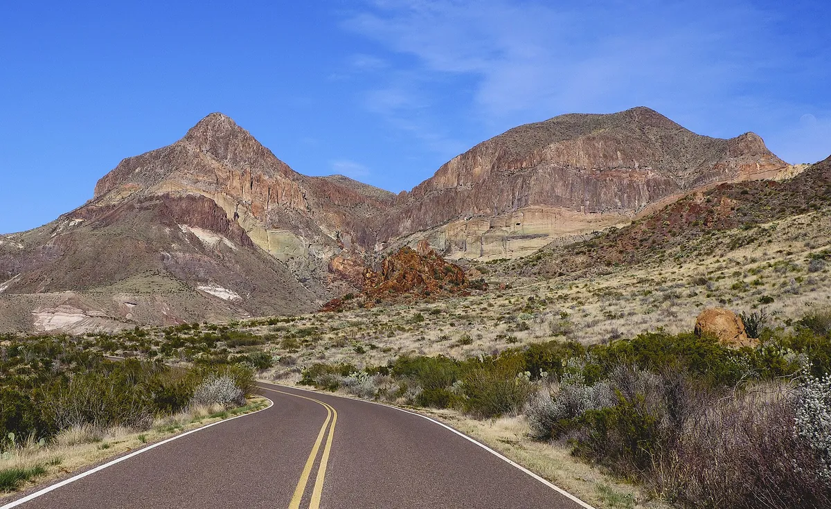
The paved Ross Maxwell Scenic Drive curving through desert scrub toward a flat-topped mountain
Full tank. Ross Maxwell Scenic Drive · 30 paved miles of desert and canyon overlooks, with no gas stations along the way
Saveable plan graphic for four days in Big Bend, one row per day
Big Bend in 4 days · saveable plan card with each day’s stop, from Day 1 to Day 4

New-moon timing

The Milky Way’s bright core shows from about March through October and is easiest to see within a few days of the new moon. Check a moon calendar when you book the lodge, not after.

Saveable recap graphic for the four-day Big Bend trip
Big Bend · saveable recap card with every day’s theme on one screen for your phone

No signal

Cell service ends near Marathon. Download offline maps, screenshot your confirmation, and text someone: Big Bend, Chisos Lodge, back on this date. Rangers at Panther Junction can take an emergency message.

Quick answers

Planning notes

Is Big Bend safe for a solo traveler?

Yes — with the right preparation. The park is remote with no cell service, so the safety rules are specific: tell someone your daily plan, carry a physical map and downloaded offline maps, bring twice the water you think you need, and don’t hike alone in extreme heat. Tell the lodge front desk where you’re headed each day — it’s standard practice. Wildlife encounters are rare on maintained trails; the desert itself (heat, dehydration, getting lost) is the real risk, and it’s entirely manageable with planning.

Do I need a telescope, or is the naked eye enough under Big Bend’s skies?

The naked eye is more than enough — Big Bend has the darkest skies of any national park in the lower 48, and the Milky Way is vivid without any equipment. A pair of 10×50 binoculars is the sweet spot if you want more: they reveal star clusters, nebulae, and the moon’s craters for under $100. Skip the telescope unless you’re already an astronomer — it’s heavy, fussy to set up, and you’ll spend more time fiddling than looking.

Where should a solo traveler stay — the Chisos Mountains Lodge, Terlingua, or a campsite?

The Chisos Mountains Lodge wins for solo travelers: it’s the only in-park lodging, centrally located for both the west side and Rio Grande Village, and there’s no single-supplement penalty — you pay the base double-occupancy rate. Book 6+ months ahead (1–2 years for the Roosevelt Stone Cottages). Terlingua/Study Butte works if the lodge is full, but adds 30–45 minutes of driving each way. Camping is $16/night via recreation.gov if you’re equipped.

How can I meet other stargazers as a solo traveler in Big Bend?

Ranger-led night sky programs (free, seasonal — check the schedule at Panther Junction) are the easiest way: everyone’s lying on blankets looking up, and conversation happens naturally. But honestly? Most solo stargazers come for the solitude — you won’t feel odd being alone under the sky.

What should I do if my car breaks down in such a remote desert park?

Prevention first: fill up in Marathon or Alpine (last reliable gas), check your spare tire, and carry extra water even for drives. If you break down, stay with your vehicle — it’s visible from the air and the road, you are not. Flag down the next passing car (traffic is light but steady on main roads). There’s no cell service, so a satellite communicator (Garmin inReach or similar) is worth considering for true peace of mind on a solo trip.

When is the best time to visit Big Bend for stargazing?

Time your trip to the new moon — the week around each new moon has the darkest skies. The Milky Way core is visible March through October, peaking April through August. The sweet spot is a new moon in March–April or October–November: you get the Milky Way plus mild daytime temperatures. Summer has the brightest Milky Way core but brutal 100°F+ heat. Winter has crisp, clear skies but no Milky Way core and freezing nights.

Do I need a timed-entry reservation or permit for Big Bend in 2026?

No — Big Bend requires no timed entry or advance reservation for day visits in 2026. You just pay the $30/vehicle entrance fee (7 days) at the gate; the park is cashless, so bring a card. It’s open 24 hours a day, 365 days a year. Camping requires reservations via recreation.gov ($16/night), and backcountry permits are $10/night.

How much water do I actually need in the desert?

More than you think: plan on at least one gallon per person per day for drinking, plus extra for cooking if camping. On hiking days, carry a minimum of one liter per hour of hiking. There is no potable water on any trail. Fill up at the Chisos Basin Store, Panther Junction, or Rio Grande Village before heading out, and keep a separate emergency gallon in your car at all times.

Before you fly — the official checks

Fees, lodging, and the roads. Confirm current details on the sites listed under official links.

Freedom Passport

Planning your next trip?

Member prices on every Your Edition and Custom Trip, a free Your Edition every quarter, and up to 12 planning questions a month. Partner perks coming soon.

$3.99 a month or $29.99 a year

Join Freedom Passport

References

Research behind this guide

The reporting and research that shaped this itinerary.

Photo credits

Photos via Wikimedia Commons, resized and converted to WebP. Illustrations are original watercolor adaptations of the credited photos; plan and recap cards reuse this guide’s own photos.

  • Big Bend — photo by Vincent Lock from Houston, United States, CC BY 2.0
  • Sotol Vista — photo by MDuchek, CC BY-SA 3.0
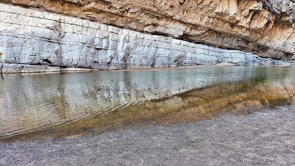
  • Santa Elena Canyon — photo by P. Hughes, CC BY 4.0
  • Hot Springs — photo by JRick1, CC BY-SA 3.0
  • Chisos Basin — photo by National Park Service Digital Image Archives, public domain
  • Chisos Mountains Lodge — photo by Yinan Chen, public domain
  • Ross Maxwell Scenic Drive — photo by Jonathan Cutrer, CC BY 2.0
  • Cover illustration — illustrated adaptation of a photo by National Park Service Digital Image Archives, Public domain
  • Day 1 illustration — illustrated adaptation of a photo by Jonathan Cutrer, CC BY 2.0
  • Day 2 illustration — illustrated adaptation of a photo by R Hensley from US, CC BY 2.0
  • Day 3 illustration — illustrated adaptation of a photo by National Park Service Digital Image Archives, Public domain
  • Day 4 illustration — illustrated adaptation of a photo by Robert Gagel, Public domain
  • Route map — terrain from AWS Terrain Tiles (Mapzen; USGS 3DEP, SRTM, GEBCO); roads and water from US Census TIGER/Line 2024; lakes, rivers and state lines from Natural Earth (public domain)

The trip index

Choose the landscape. Then choose the pace.

Every guide on the site, filtered the same way everywhere: region, season, who is going, style, trip type and length.

Every guide is listed on All trips (the filters here need JavaScript).

Browse by Where · Who's going · When · Trip type · How long.

Trip types: Festivals & events ·  Anniversaries & milestones ·  Cultural festivals & parades · National parks & wild places ·  State park getaways ·  Waterfalls & gorges ·  Volcanoes & geothermal wonders ·  Stargazing & northern lights ·  Camping & cabins ·  Wildlife watching & birding ·  Desert & canyon parks ·  Mountain & alpine parks ·  Coastal & island parks ·  Forests, rainforests, caves & wetlands · Road trip ·  Historic route ·   Route 66 ·   Natchez Trace Parkway ·  Mountain & scenic byways ·   Blue Ridge Parkway ·  National park road trip ·  Road trip abroad ·  Coastal drives ·   Pacific Coast Highway ·  Desert & canyon drives ·  Ferry & island road trip · Active & adventure trip ·  Paddling, kayaking & rafting ·  Snowshoeing, dog sledding & winter sports ·  Hiking & backpacking ·  Biking & rail-trails ·  Multi-sport adventure trip · City trip & culture ·  Live music & nightlife ·  Theme parks & family attractions ·  Museums: art, science & history ·  Film, TV & literary trip ·  Architecture & design ·  Theater & performing arts ·  Big cities ·  Smaller cities ·  Cities near the outdoors · Scenic train rides ·  Heritage & excursion railroads ·  Long-distance rail journeys ·  Car-free trip by train ·  Rail journeys abroad · Mountain getaways & ski ·  Ski trip ·  Snowy escapes without skiing ·  Summer mountain towns ·  Red rock & desert mountain towns ·  Alps, highlands & big ranges abroad · Spa, cruise & splurge trip ·  Wellness retreats & yoga ·  Spas & hot springs ·  Cruises, river & canal boats ·   Ocean cruises ·   Alaska Inside Passage cruise ·  Splurge trip ·  Slow, restful trip · History & culture ·  Lighthouses, forts & sea history ·  Castles & old towns ·  Mansions & grand estates ·  Ancient sites & ruins ·  Civil War sites ·  Historic small towns & covered bridges ·  Presidential & military history ·  Pilgrimages & sacred sites ·  Old West, ghost & mining towns ·  Civil rights & Black history ·  Colonial & Revolutionary history ·  Native American & Indigenous heritage · Beach vacations & islands ·  Snorkeling & diving ·  Beach towns ·  Island hopping ·  Tropical islands & the Caribbean ·  Mediterranean coasts & islands ·  Rugged coastlines ·  Surf towns · Food & wine trip ·  Markets, street food & food halls ·  Breweries & distilleries ·  Seafood & coastal eating ·  Fine-dining splurges ·  Wine country ·  Farm-to-table, orchards & cider ·  Coffee, cheese & sweet treats ·  Food cities (US & Canada) ·  Regional American food ·   Barbecue trails ·   Tex-Mex & Southwest flavors ·   Southern, Cajun & Creole cooking ·  Eating your way abroad ·   Japanese food ·   Italian food ·   Mexican food ·   French food ·   Spanish & Portuguese food ·   Southeast Asian food ·   Korean food ·   Central European food ·   Irish & British food · Bucket-list trip ·  Machu Picchu & the Inca Trail ·  Camino de Santiago ·  Iceland Ring Road · By departure city ·  From New York City ·  From Los Angeles ·  From Chicago ·  From Washington, DC ·  From Boston ·  From San Francisco Bay Area · By travel time ·  Under 2 hours by car ·  2 to 4 hours by car.