SoloNational Parks & Wild PlacesWeekend from SF

Three days · Point Reyes from San Francisco

Point Reyes from San Francisco: elephant seals, tule elk and Tomales Bay oysters, on your own

Reviewed How we verify

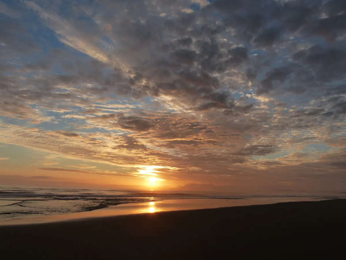
Three winter days on the Marin coast for one, from a village base in Point Reyes Station: the visitor center and a sunset on Limantour Beach, a morning with the tule elk on Tomales Point and oysters on the bay, and a last day with the elephant seals below Chimney Rock and the lighthouse at the end of the land.

Going SoloWild EncountersWater’s Edge

3 days / 2 nights Built for December to April Solo
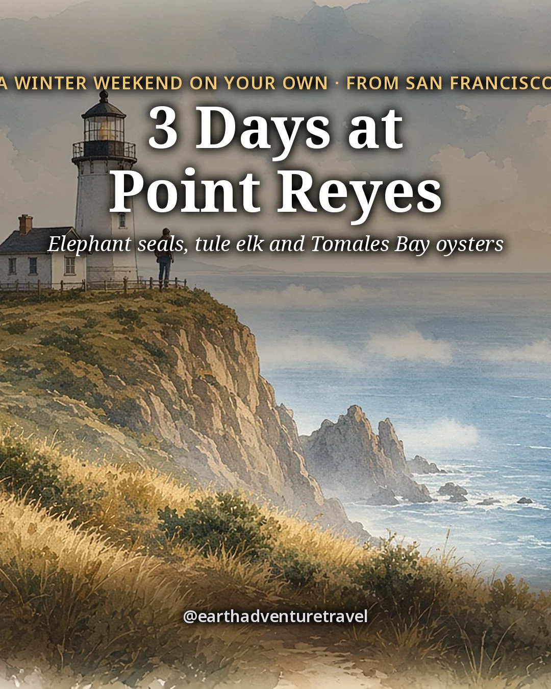
Illustration: the cover for 3 Days on Point Reyes, a white lighthouse on a rugged green headland above the Pacific with a whale spout far offshore in soft silver light
Original illustrated itinerary artwork
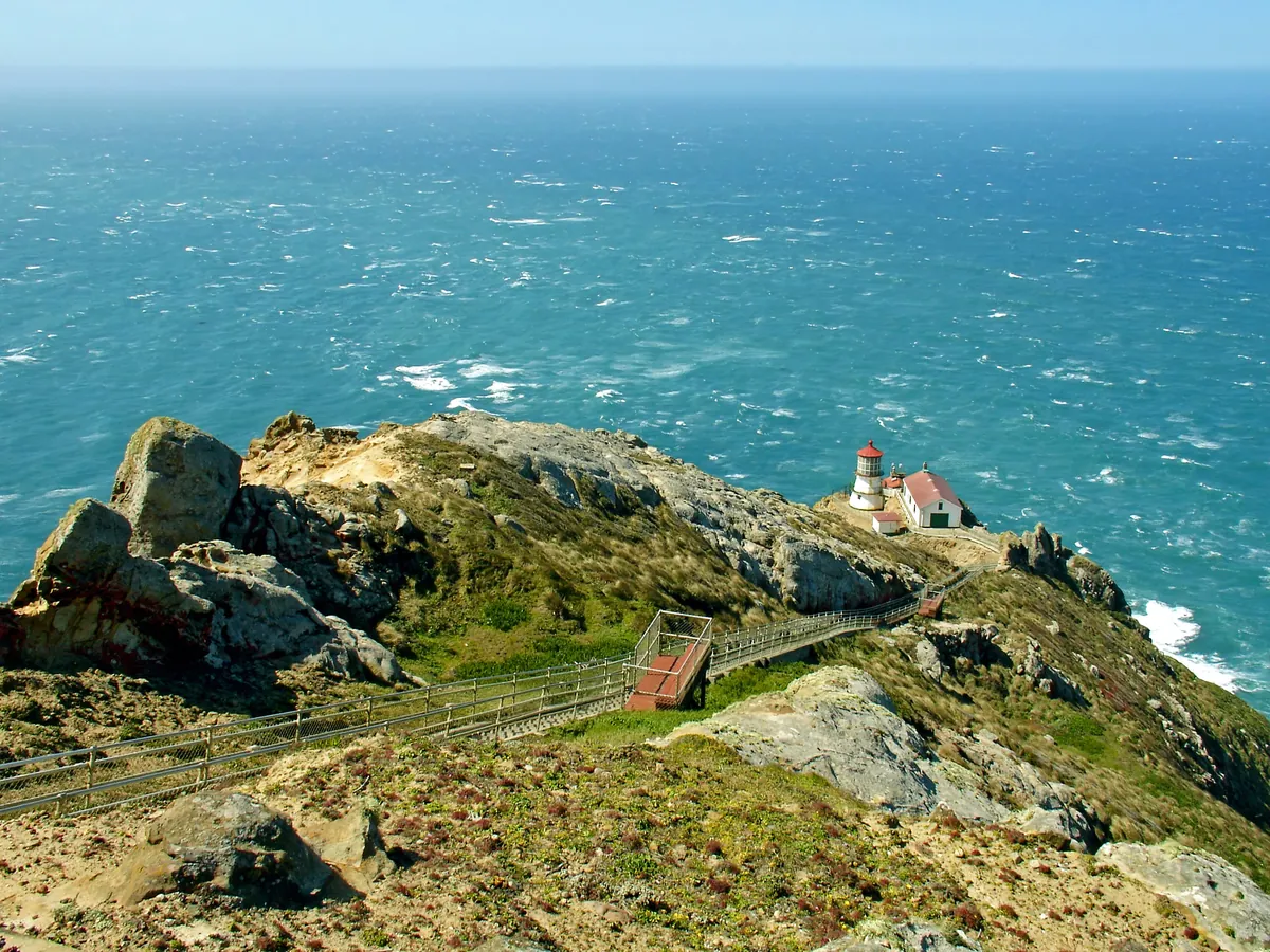
The Point Reyes Lighthouse on a rocky green headland above a deep blue Pacific Ocean
The Point Reyes Lighthouse · on a ledge of the headland at the far tip of the peninsula

The trip in 60 seconds

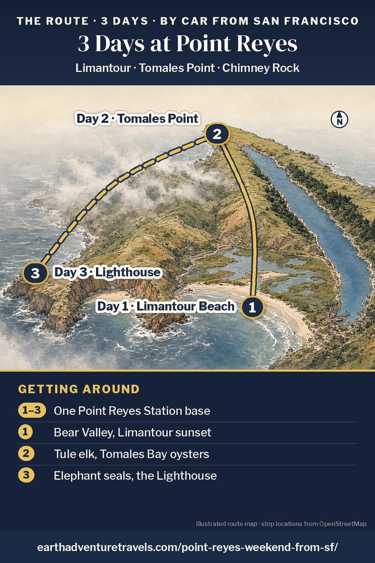
Illustration: route map of the three days, an illustrated bird’s-eye view of the Point Reyes peninsula with Tomales Bay and numbered pins at Limantour Beach (Day 1), Tomales Point (Day 2) and the Lighthouse headland (Day 3)
Point Reyes in three days · one village base and short drives in the park

Postcards from the trip

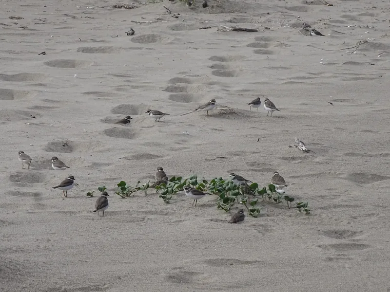
Small shorebirds feeding on the wet sand of Limantour Beach
Shorebirds at Limantour · walk the edge of the surf at sunset
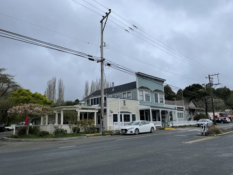
A white wooden building and trees along the road through Inverness
Inverness · the last place to buy food before Tomales Point
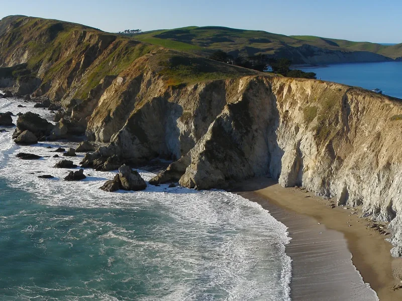
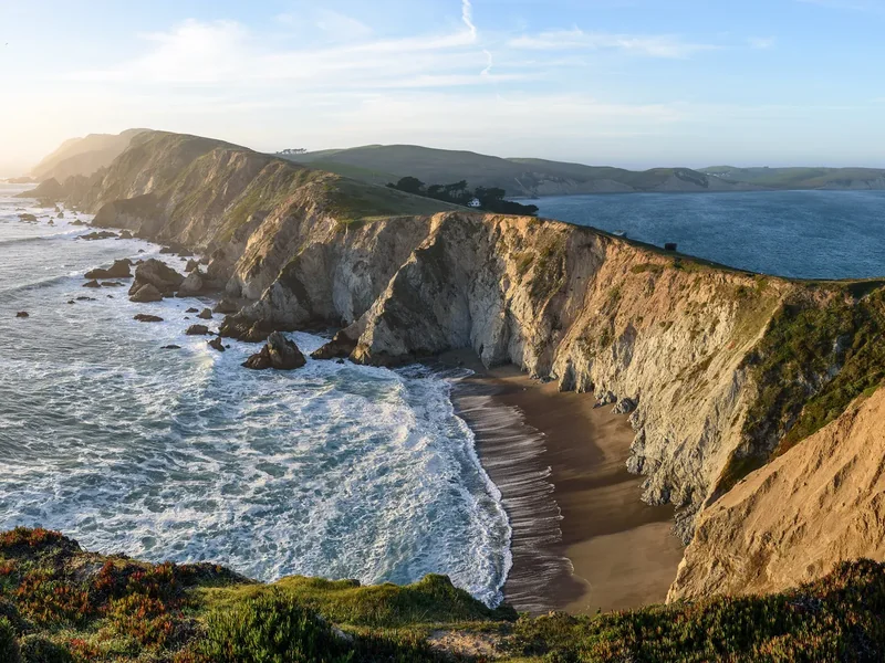
A wide view of tall pale cliffs and beaches from the Chimney Rock Trail
Chimney Rock · go in the morning for the seal overlook
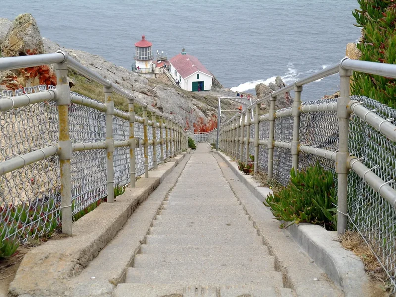
A long concrete stairway with railings leading down to the Point Reyes Lighthouse
The lighthouse stairs · open on some days only; check before you go

The idea

Three days at Point Reyes on your own: elk on the headland, seals on the beach and oysters on the bay.

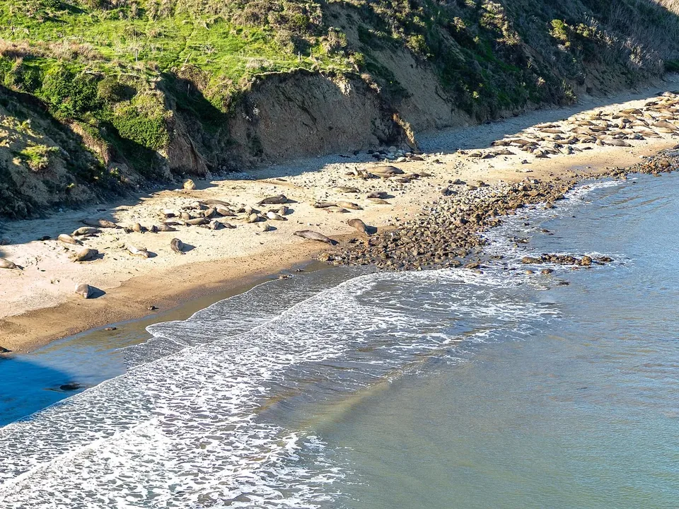
Point Reyes National Seashore covers a wedge of land north of San Francisco that the San Andreas Fault has split from the mainland, with Tomales Bay filling the rift. It is a place of long beaches, open grassland, cypress windbreaks and old dairy ranches, and in winter it is one of the easiest places near the city to see big wildlife: elephant seals hauled out below Chimney Rock, tule elk on the Tomales Point headland and gray whales passing offshore.

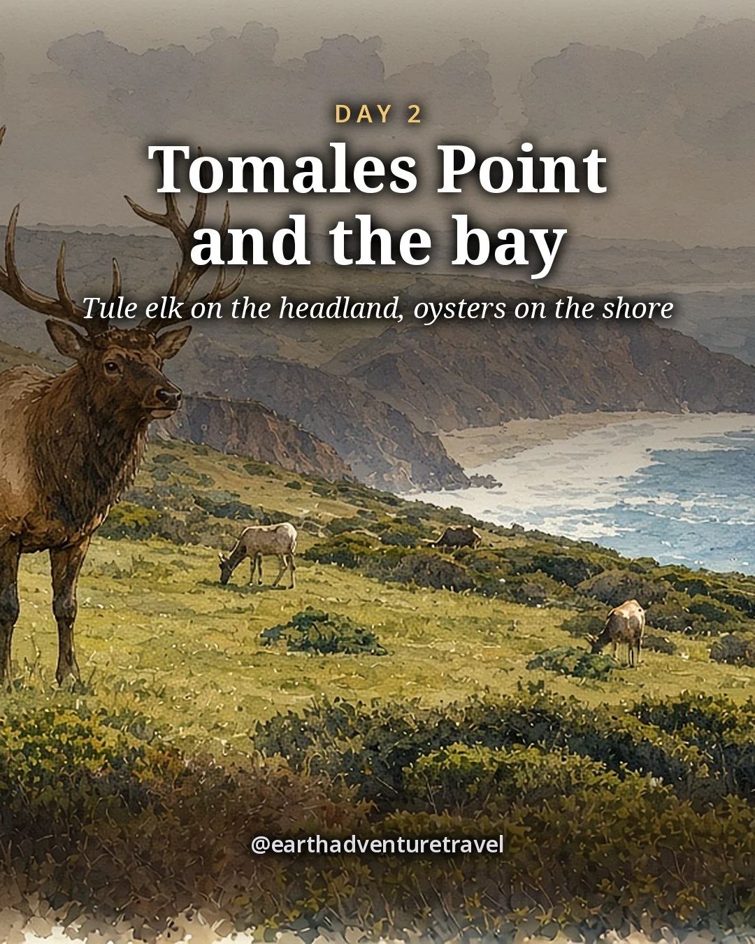
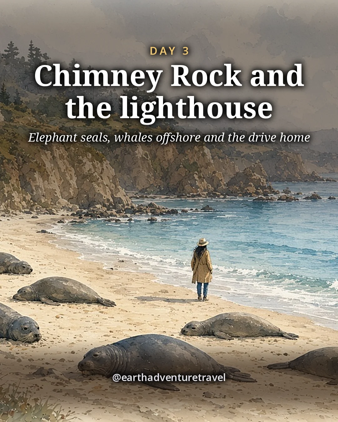
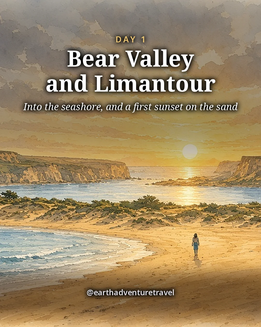
Day 1 is the drive up, the Bear Valley Visitor Center and the Earthquake Trail, and a sunset walk on Limantour Beach. Day 2 is Tomales Point for the elk, then lunch on the shore of Tomales Bay in Marshall and dinner on the water. Day 3 is the far end of the peninsula: the elephant seal overlook at Chimney Rock, the Point Reyes Lighthouse and the Cypress Tree Tunnel, then lunch, cheese for the road and the drive home.

Want more of the California coast? San Francisco and Big Sur runs south down Highway 1, and the Napa Valley is an hour inland. More wild places are in National Parks & Wild Places.

The route

Three days, one village base, short drives

Bear Valley and Limantour, then Tomales Point and the bay, then Chimney Rock and the lighthouse, two nights in the same room.

Illustrated travel journal with a winding route and pinsCustom Edition

How we tailor your Point Reyes plan

A plan that knows how you travel.

3 full itineraries in every plan, Saver to Splurge, so you can pick or mix.

🌙 Your rhythm

Early riser or late starter? We set each day's start around you.

🥾 Your needs

Prefer shorter walks? We pick stops that are easy to reach.

🌄 Your kind of day

Rather skip the crowds? We trade the busiest overlook for a quieter sunrise spot.

3 full itineraries in every plan

Saver, Sweet spot and Splurge, each a complete day-by-day plan. Pick one or mix.

All 3 in your plan
$SaverSmart value
$$Sweet spotBest balance
$$$SplurgeTreat yourself
See it in a sample plan

Yours from $39.

Every plan is built around you, your pace and your must-dos.

Longer trip? Add days 15–21 for $8 a day.

Getaway (1–3 days) · $39

Art & photos

  • 5 original illustrations of your trip's highlights
  • 8 destination photos to preview each stop1 cover · 3 daily · 4 postcards

Planning

  • Timed itinerary so every day runs at an easy pace
  • 3 full itineraries Saver, Sweet spot and Splurge, so you can pick or mix
  • 3 curated stays per stop to match your budget
  • Where to eat for breakfast, lunch and dinner, plus insider tips every day
  • Tap-to-go routes to every hotel, activity and restaurant, opening straight in your maps app
  • Booking timeline so you book the right things in the right order
  • Packing list made for every traveler coming

Your plan, your way

  • Digital trip page in your account, on any device
  • PDF to save, print or share
  • Trip playlist with song links for Spotify and Apple Music
  • 1 free refinement to tweak anything after delivery

Emailed within 3 business days of your trip brief. Full refund before work starts, or if we can’t deliver. 1 free refinement after delivery (2 on Grand Journey); extra refinements after delivery, $19 each.

Our promise

  • Full refund before work starts, or if we can’t deliver. Change your mind before work starts and we’ll refund you in full. If we can’t deliver your plan, you’re refunded in full too.
  • One free refinement after delivery (two on Grand Journey). Tell us what to change and we’ll refine it. Extra refinements are $19 each.
  • Spotted an error? Tell us which fact on this page looks wrong and we’ll review it.

The people behind the plans

Who is Earth Adventure Travel?

We build routes for real life — wrangling kids, spanning generations, or heading out solo — and review key details regularly. Things change and we can miss some, so we link the official sources for you to confirm before you go.

Learn About Us

Before you go

Plan & pack

Pack for the trip

  • A warm, windproof shell. The headlands are cold and windy in any season.
  • Layers you can add and remove. Fog and sun change by the hour.
  • Binoculars. For the elk, the seals and whale spouts offshore.
  • Walking shoes with grip. Trails can be muddy in winter.
  • A refillable water bottle. No water past the trailheads.
  • A warm hat. For the lighthouse headland.
  • Offline maps on your phone. Cell service is patchy in the park.
  • A small cooler bag. For cheese from the village on the way home.
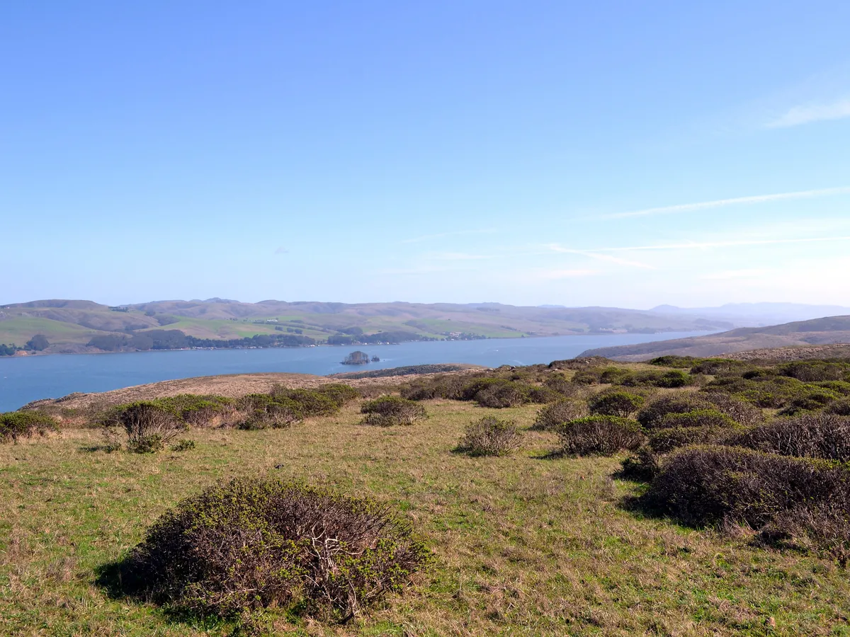
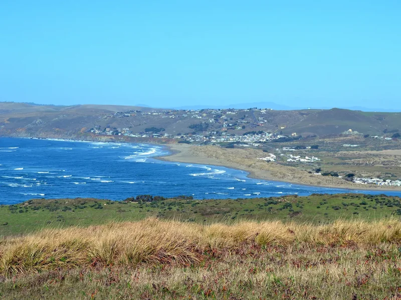
Tomales Bay seen from the grassy Tomales Point Trail under a clear blue sky
A windproof shell for the open headland above Tomales Bay on the Tomales Point Trail. Tomales Bay from the trail · a windproof shell for the open headland walk
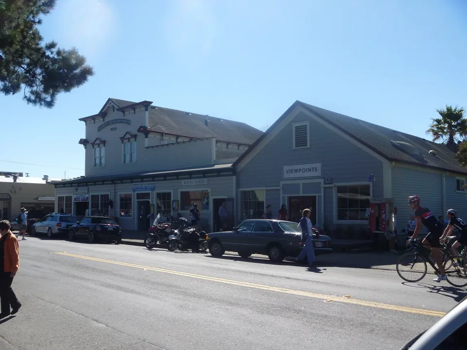
Wooden storefronts along the main street of Point Reyes Station with parked cars and bicycles
A small cooler bag for local cheese from the shops of Point Reyes Station. Point Reyes Station · the village base, with bakeries, cheese and coffee
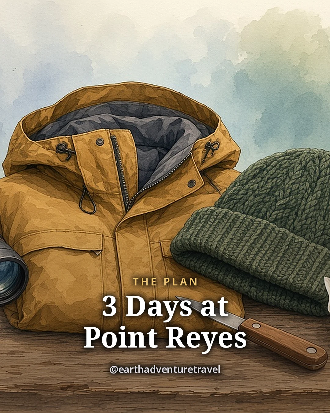
Illustration: a pair of binoculars, a waterproof shell jacket, a warm hat, a paper trail map, a refillable water bottle, an oyster knife and a small tin of cheese on a wooden table, original illustrated plan card for 3 days at Point Reyes
Original illustration · binoculars, a shell jacket, a hat, a trail map and an oyster knife on a wooden table

Point Reyes in one frame

The plan card gathers the weekend on one table: binoculars for the elk and seals, a shell for the headland wind, a trail map and an oyster knife for Tomales Bay. Every stop, drive and meal is in the day-by-day above.

Small shorebirds feeding on the wet sand of Limantour BeachA white wooden building and trees along the road through InvernessThe blue water of Tomales Bay and the far shore seen over golden grass from the headland
Around the bay · shorebirds at Limantour, Inverness and Tomales Bay from the trail
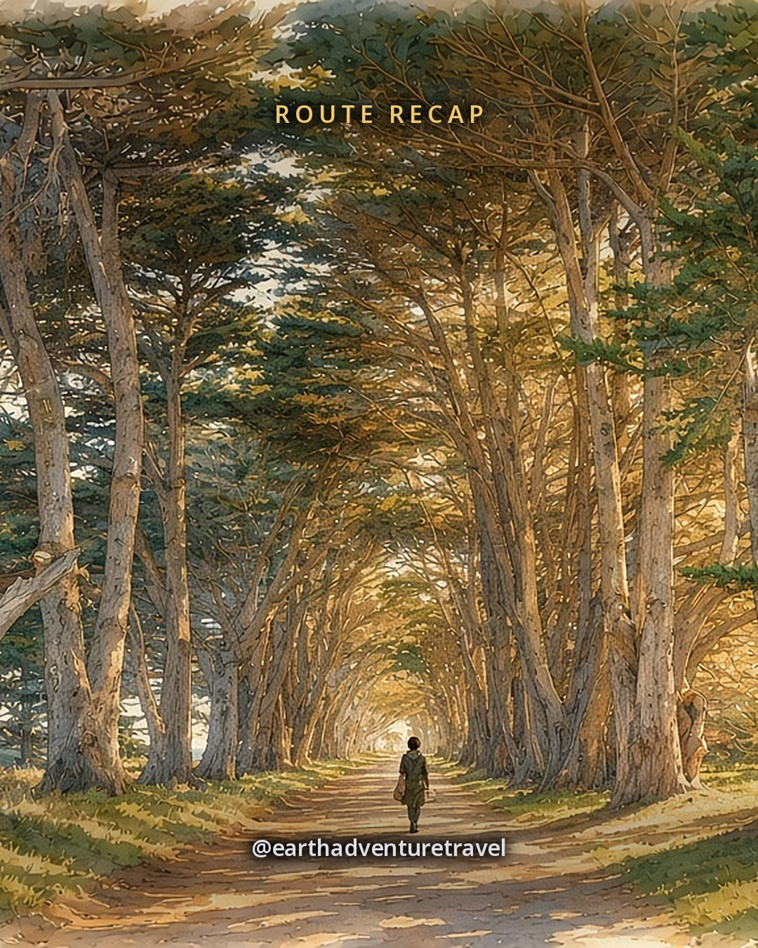
Illustration: a long tunnel of tall dark cypress trees arching over a straight country lane at golden hour, original illustrated recap card
Original illustration · the Cypress Tree Tunnel at golden hour

Where the trip ends

The recap card closes the weekend in the Cypress Tree Tunnel at golden hour, on the way back from the lighthouse. The day-by-day has each stop, drive and meal.

A wide view of tall pale cliffs and beaches from the Chimney Rock TrailA long concrete stairway with railings leading down to the Point Reyes LighthouseThe Point Reyes headlands and cliffs seen from Chimney Rock in winter, with a beach below
The headlands · Chimney Rock, the lighthouse stairs and the seals below the cliffs

Quick answers

Planning notes

Is Point Reyes good for a solo weekend?

Yes. The trails, beaches and overlooks are easy to manage alone, the village base has restaurants with counter seating, and the wildlife viewing needs no group. Tell someone your plans, as cell service is patchy.

How many days do you need at Point Reyes?

Two nights and three days covers Bear Valley and Limantour Beach, Tomales Point and Tomales Bay, and Chimney Rock and the lighthouse without rushing.

When can you see elephant seals at Point Reyes?

Mostly in winter, roughly December to March, when they come ashore on the beach below Chimney Rock to give birth and breed. Check the park’s site for recent sightings.

Where are the tule elk at Point Reyes?

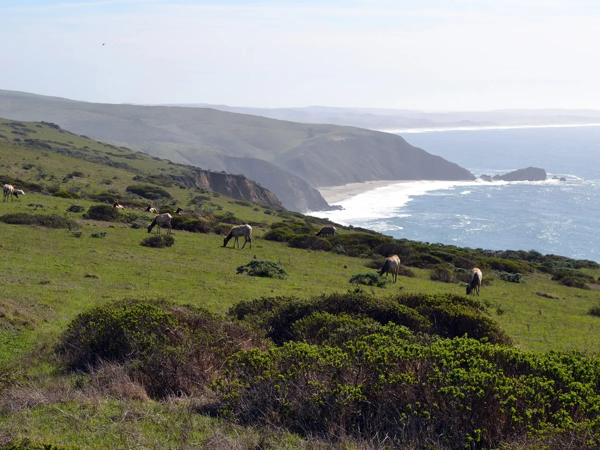
On Tomales Point, at the north end of the park. Walk the Tomales Point Trail from Pierce Point Ranch; the elk are often seen in the first mile or two.

Is there an entrance fee at Point Reyes National Seashore?

No. The park charges no entrance fee, and the visitor centers, trails and beaches are free.

Can you drive to the Point Reyes Lighthouse in winter?

On many winter weekends and holidays the road past Drakes Beach closes to private cars and a park shuttle runs instead. On other days you can drive. Check nps.gov/pore before you go.

Where should you stay for Point Reyes?

In Point Reyes Station or Inverness. Both are small villages next to the park, with inns, cottages and a few restaurants.

How far is Point Reyes from San Francisco?

About an hour and a half by car over the Golden Gate Bridge, by Highway 101 and Sir Francis Drake Boulevard or along Highway 1.

Before you set off — the official checks

Shuttle rules, stair hours and wildlife seasons change. Confirm current details on the sites listed under official links.

References

Research behind this guide

The reporting and research that shaped this itinerary.

Photo credits

Photos via Wikimedia Commons, resized and converted to WebP. The illustrated cover, day cards, plan card and recap card are this guide’s original itinerary artwork, illustrated from the credited photos listed here.

The trip index

Choose the landscape. Then choose the pace.

Every guide on the site, filtered the same way everywhere: region, season, who is going, style, trip type and length.