SoloNational Parks & Wild LandsAfter Dark

Four days · Organ Pipe Cactus on your own

Organ Pipe Cactus on your own: desert trails and a dark-sky night

Reviewed How we verify

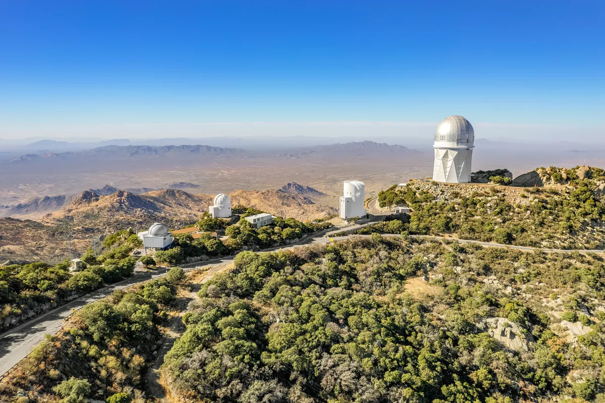
Four days in the far south-west corner of Arizona for one traveler with a rental car, all from a base in the old copper town of Ajo: a scenic drive into the Ajo Mountains, a cactus basin and a night under one of the newest certified dark skies in the country, then the telescopes on Kitt Peak on the drive back to Tucson.

Going SoloWild LandsAfter Dark

4 days / 3 nights Best Nov–Mar Solo
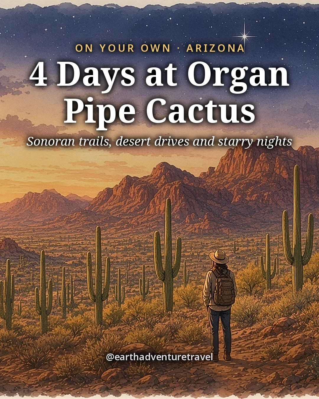
Illustration: the cover for 4 Days at Organ Pipe Cactus, saguaros on a Sonoran Desert slope at dusk with the rose-lit Ajo Range behind, the first star in the sky and one small traveler seen from behind
Original illustrated itinerary artwork
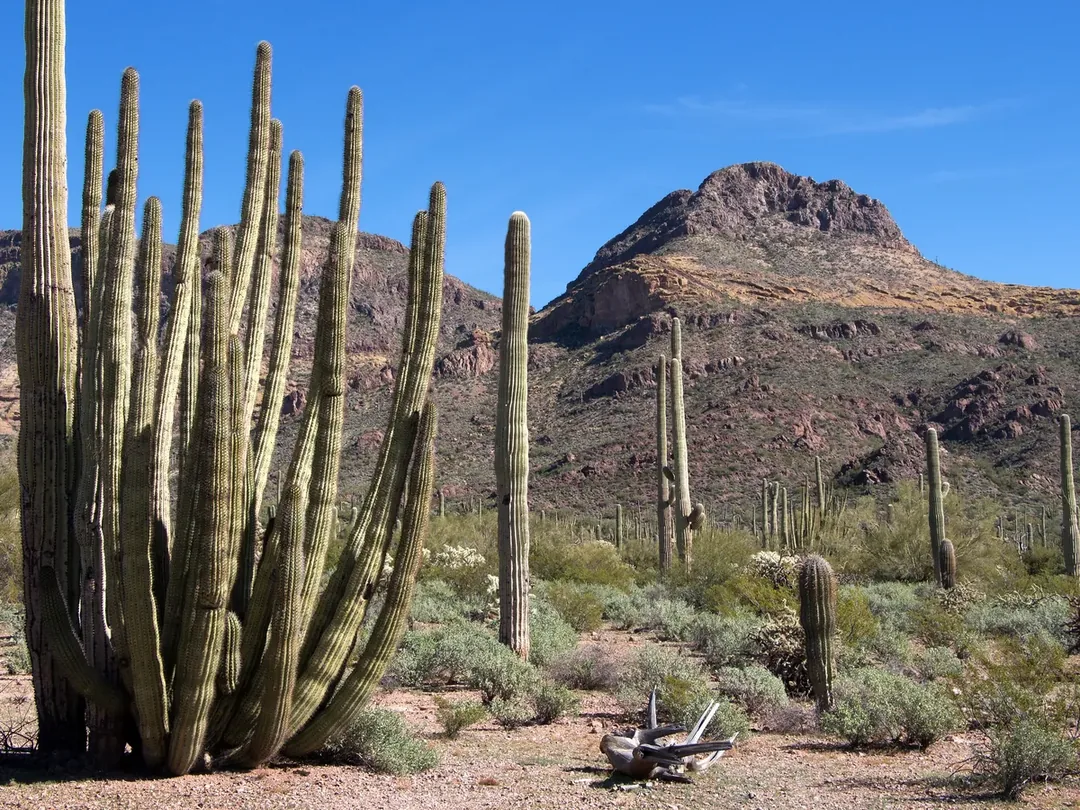
The jagged Diablo Mountains above a desert slope of organ pipe cactus and saguaro along Ajo Mountain Drive
Ajo Mountain Drive · the Diablo Mountains above stands of organ pipe cactus

The trip in 60 seconds

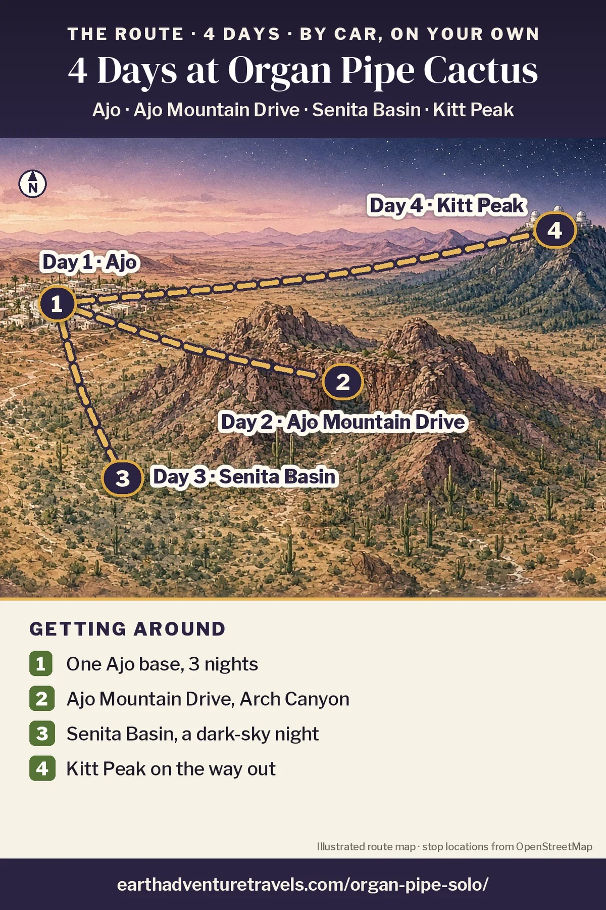
Illustration: route map of the four days, an illustrated bird’s-eye view of the Sonoran Desert in south-western Arizona with numbered pins at Ajo (Day 1), the Ajo Mountain Drive arch (Day 2), Senita Basin (Day 3) and the Kitt Peak observatory domes (Day 4)
Organ Pipe Cactus in four days · one Ajo base, a rental car and Kitt Peak on the way home

Postcards from the trip

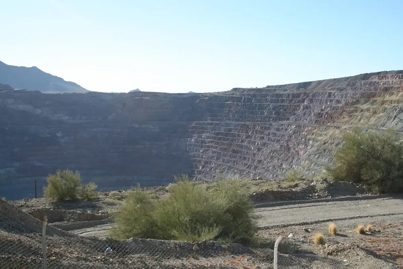
The terraced walls of the old open-pit copper mine at Ajo, with tailings and desert hills beyond
Ajo’s copper pit · look for the stepped benches cut into the old mine walls
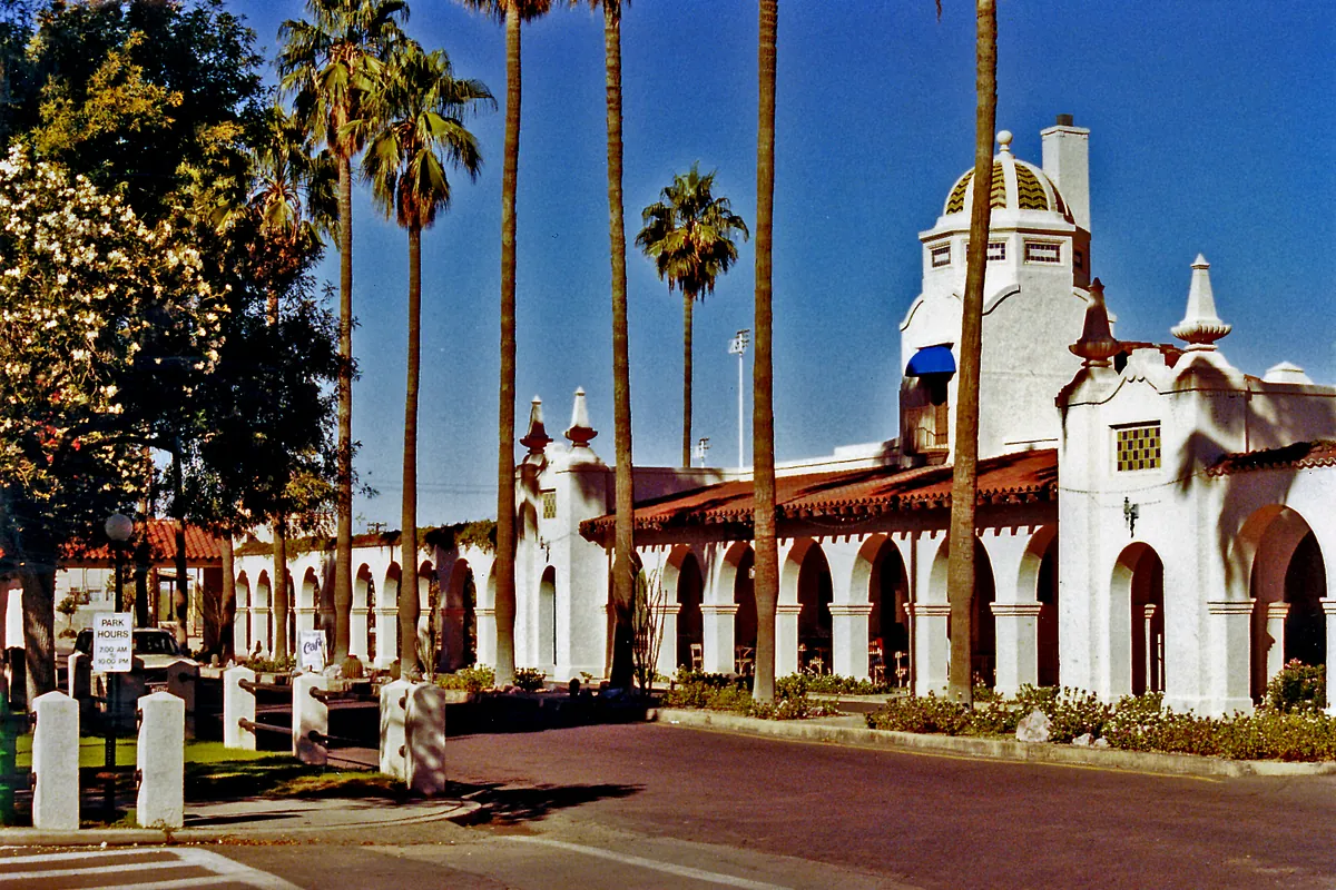
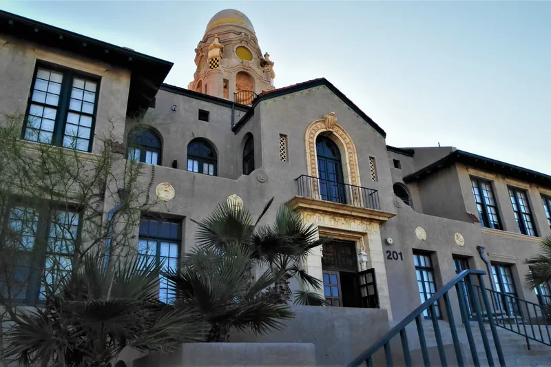
A cream-colored Spanish Colonial Revival building with arched windows and a tiled roof in Ajo
Historic Ajo · walk the Spanish Colonial Revival blocks near the plaza
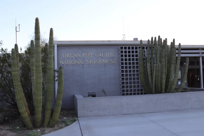
The low adobe-colored Kris Eggle Visitor Center at Organ Pipe Cactus, with desert plants out front
Kris Eggle Visitor Center · the one reliable phone signal and wifi
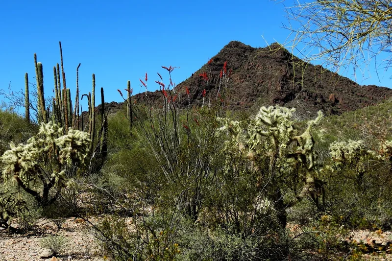
Cholla cactus glowing in sunlight in front of a rocky peak in Organ Pipe Cactus National Monument
Cholla country · carry a comb to flick off cholla joints

The idea

Four days at Organ Pipe Cactus on your own: a small-town base, two days of desert trails, a night under the stars and the telescopes on Kitt Peak.

Organ Pipe Cactus National Monument covers about 330,000 acres of Sonoran Desert on the Mexican border in south-western Arizona. It was set aside in 1937 to protect the northernmost natural habitat of the organ pipe cactus, and in May 2026 it was certified as an International Dark Sky Park. It is remote: only Highway 85 and the campground road are paved, cell service is spotty, and the nearest town with a grocery store is Ajo, about 45 minutes north, which is why this guide uses Ajo as its base for all three nights.

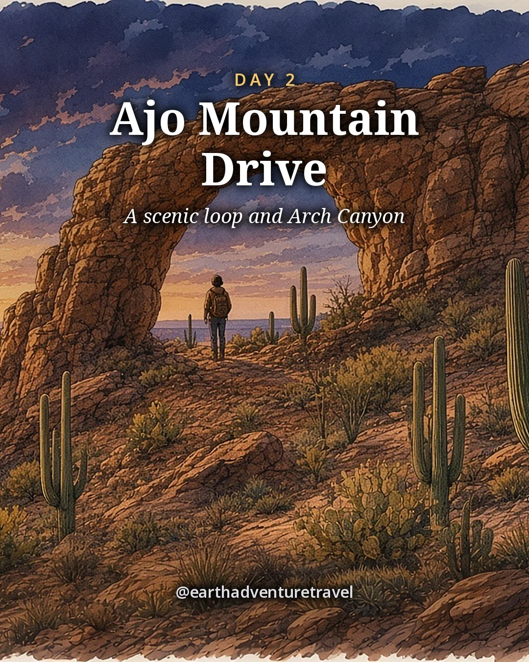
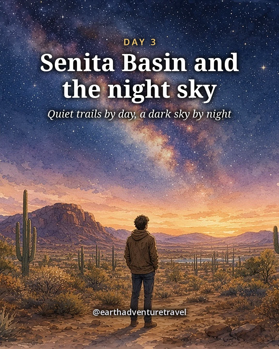
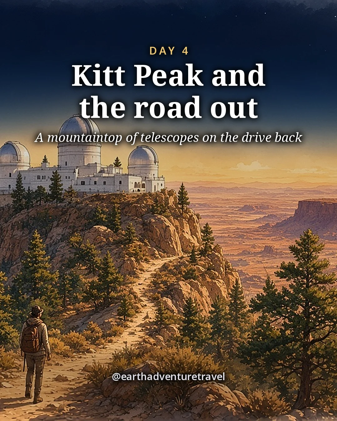
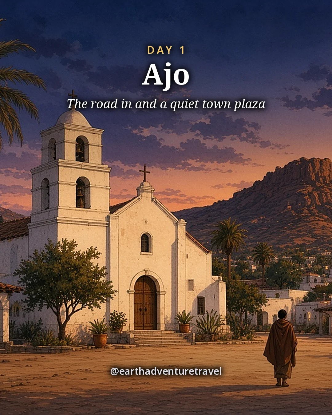
Day 1 is the drive west from Tucson across the Tohono O’odham Nation, supplies in Ajo and an evening on its historic plaza. Day 2 is the 21-mile Ajo Mountain Drive, with Arch Canyon and the Bull Pasture climb. Day 3 is the Cabeza Prieta refuge visitor center in Ajo, an afternoon loop in Senita Basin, where saguaro, organ pipe and senita cacti grow together, and a night under the dark sky. Day 4 crosses back east by way of Kitt Peak National Observatory and ends with dinner in Tucson.

Want more desert on your own? See Big Bend’s dark skies or Death Valley in winter. Staying in Arizona, Saguaro National Park starts from the same Tucson airport, and Sedona is red-rock country to the north. More parks and wild places are in National Parks & Wild Places.

The route

Four days, one Ajo base, one rental car

The drive west and the Ajo Plaza, the Ajo Mountains, Senita Basin and a dark-sky night, then Kitt Peak on the way back to Tucson.

Illustrated travel journal with a winding route and pinsCustom Edition

How we tailor your Organ Pipe Cactus & Ajo plan

A plan that knows how you travel.

3 full itineraries in every plan, Saver to Splurge, so you can pick or mix.

🌙 Your rhythm

Early riser? We put the big hike first, before the trail fills up.

🥾 Your needs

Want easy evenings? Each night's stay is a short walk from dinner.

🌄 Your kind of day

Rather skip the crowds? We trade the busiest overlook for a quieter sunrise spot.

3 full itineraries in every plan

Saver, Sweet spot and Splurge, each a complete day-by-day plan. Pick one or mix.

All 3 in your plan
$SaverSmart value
$$Sweet spotBest balance
$$$SplurgeTreat yourself
See it in a sample plan

Yours from $39.

Every plan is built around you, your pace and your must-dos.

Longer trip? Add days 15–21 for $8 a day.

Journey (4–8 days) · $69

Art & photos

  • 8 original illustrations of your trip's highlights
  • 14 destination photos to preview each stop1 cover · 6 daily · 7 postcards

Planning

  • Timed itinerary so every day runs at an easy pace
  • 3 full itineraries Saver, Sweet spot and Splurge, so you can pick or mix
  • 3 curated stays per stop to match your budget
  • Where to eat for breakfast, lunch and dinner, plus insider tips every day
  • Tap-to-go routes to every hotel, activity and restaurant, opening straight in your maps app
  • Booking timeline so you book the right things in the right order
  • Packing list made for every traveler coming
  • 6 rainy-day backup plans so a wet day still feels like vacation

Your plan, your way

  • Digital trip page in your account, on any device
  • PDF to save, print or share
  • Trip playlist with song links for Spotify and Apple Music
  • Calendar file that drops every day into your calendar
  • Budget estimate so you know the cost before you go
  • 1 free refinement to tweak anything after delivery

Emailed within 3 business days of your trip brief. Full refund before work starts, or if we can’t deliver. 1 free refinement after delivery (2 on Grand Journey); extra refinements after delivery, $19 each.

Our promise

  • Full refund before work starts, or if we can’t deliver. Change your mind before work starts and we’ll refund you in full. If we can’t deliver your plan, you’re refunded in full too.
  • One free refinement after delivery (two on Grand Journey). Tell us what to change and we’ll refine it. Extra refinements are $19 each.
  • Spotted an error? Tell us which fact on this page looks wrong and we’ll review it.

The people behind the plans

Who is Earth Adventure Travel?

We build routes for real life — wrangling kids, spanning generations, or heading out solo — and review key details regularly. Things change and we can miss some, so we link the official sources for you to confirm before you go.

Learn About Us

Before you go

Plan & pack

Pack for the trip

  • Water, and plenty of it. At least one gallon per person per day, as the NPS asks, plus a spare gallon that never leaves the car.
  • A wide-brim hat, sunglasses and sunscreen. There is almost no shade on the trails, even in winter.
  • Sturdy boots and long pants. For the rocky Bull Pasture climb and for brushing past cactus.
  • A comb or small pliers. The NPS suggests one for flicking off cholla joints that stick to clothes or skin.
  • Warm layers, a hat and gloves. Winter nights drop into the 40s or below freezing, and Kitt Peak is colder and windy.
  • A headlamp with a red-light setting. For the walk back from the Desert View Trail without spoiling your night vision.
  • Offline maps and a paper map. Cell service is spotty across the monument and on Highway 86.
  • Your passport, if Mexico is tempting. The Lukeville crossing needs one, plus Mexican car insurance; this plan stays in Arizona.
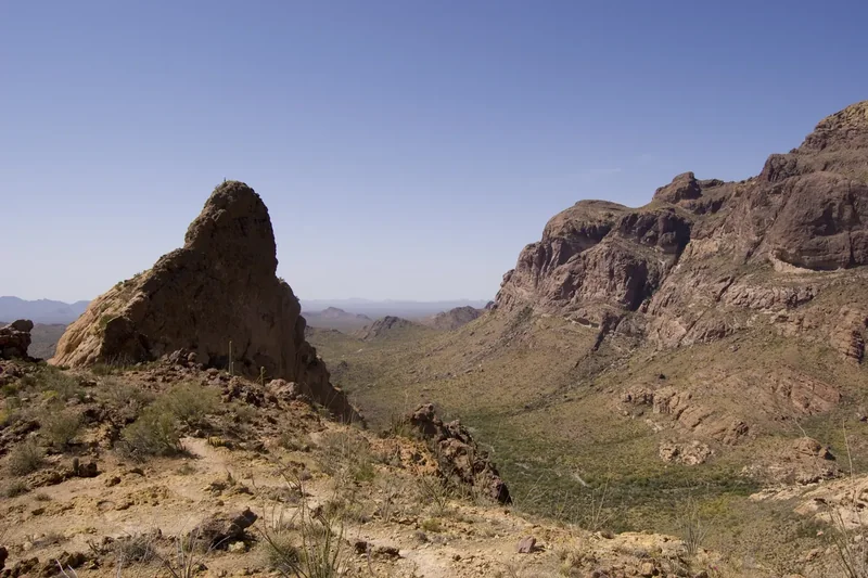
Estes Canyon seen from the rocky Bull Pasture Trail, with saguaros on the slopes below the cliffs
Sturdy boots and long pants for the rocky, exposed climb to Bull Pasture. Bull Pasture Trail · sturdy boots for the rocky climb above Estes Canyon
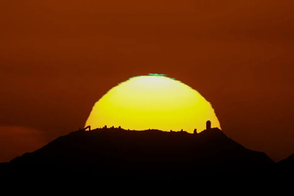
The sun setting behind the telescope domes on Kitt Peak, with the desert far below
A warm jacket, hat and gloves for the cold, windy summit of Kitt Peak. Kitt Peak at sunset · a warm layer for a summit 15–20°F cooler than Tucson
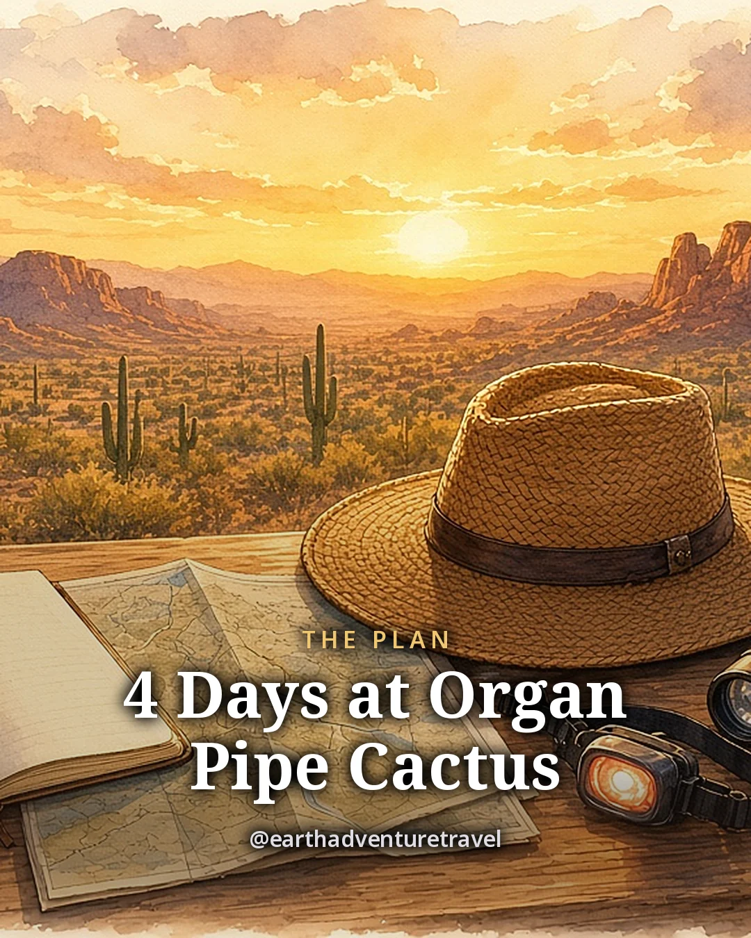
Illustration: an open notebook, a folded map, a wide-brim hat, a steel water bottle, binoculars, a headlamp and a sprig of creosote on a table at sunset, original illustrated plan card for 4 days at Organ Pipe Cactus
Original illustration · a map, a wide-brim hat, a water bottle, binoculars and a headlamp at sunset

Organ Pipe Cactus in one frame

The plan card gathers the trip on one table: a hat and a steel bottle for the desert by day, binoculars and a headlamp for the night, and a map, because the phone will not always help. Every stop, drive and meal is in the day-by-day above.

The terraced walls of the old open-pit copper mine at Ajo, with tailings and desert hills beyondA cream-colored Spanish Colonial Revival building with arched windows and a tiled roof in AjoDesert mountains and saguaros in the Cabeza Prieta National Wildlife Refuge at dusk
In and around Ajo · the copper pit, Spanish Colonial Revival blocks and the refuge next door
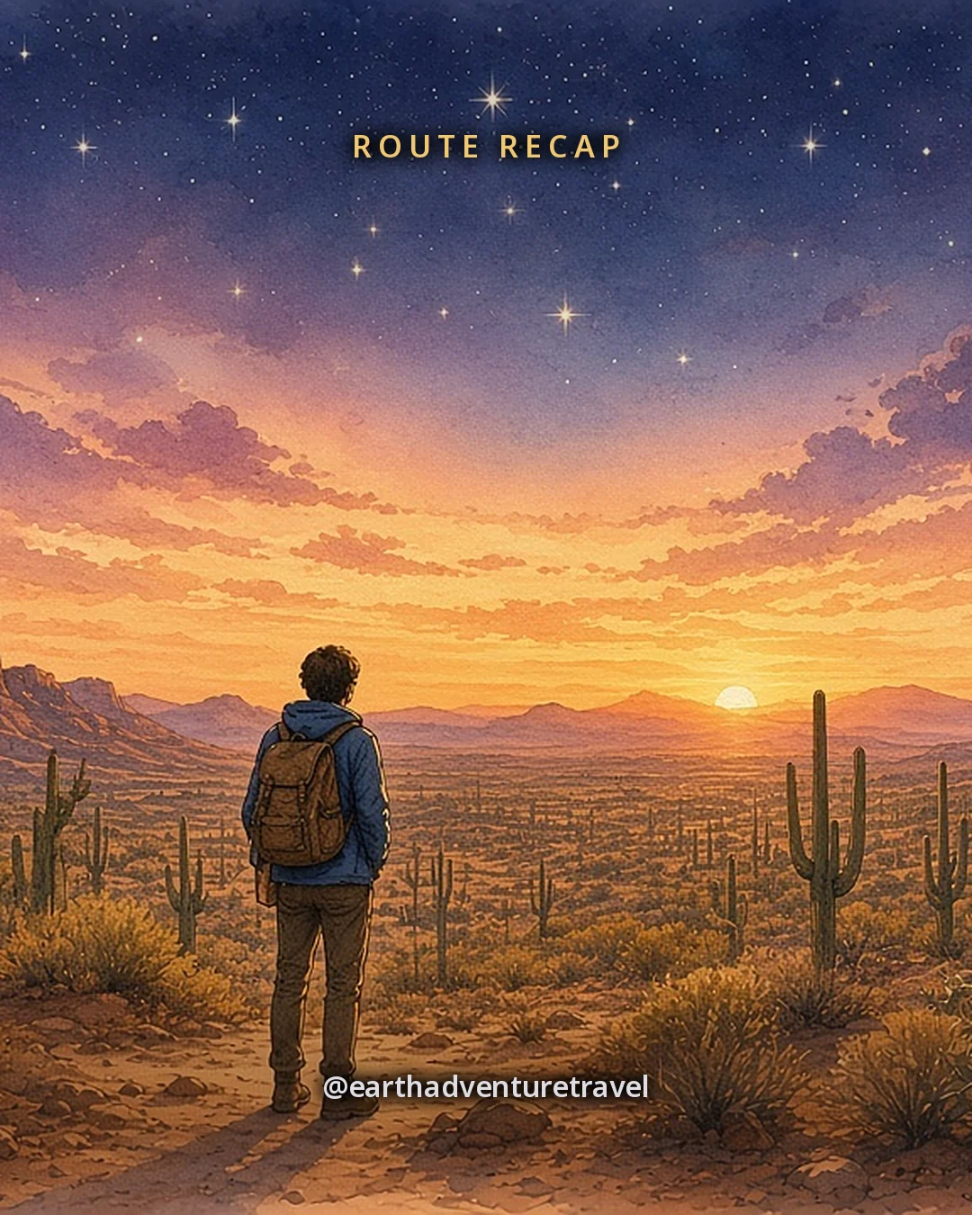
Illustration: saguaros on a desert rise at sunset with one traveler wearing a backpack looking out over the Sonoran Desert, original illustrated recap card
Original illustration · saguaros at sunset with one traveler looking out over the desert

Where the trip ends

The recap card closes the trip among the saguaros at sunset, the hour this desert is at its best. The day-by-day has each stop, drive time and meal.

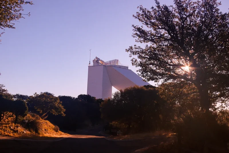
The low adobe-colored Kris Eggle Visitor Center at Organ Pipe Cactus, with desert plants out frontCholla cactus glowing in sunlight in front of a rocky peak in Organ Pipe Cactus National MonumentThe tall angled tower of the McMath-Pierce Solar Telescope on Kitt Peak against a blue sky
In the monument and beyond · the visitor center, cholla country and Kitt Peak’s solar telescope

Quick answers

Planning notes

Is Organ Pipe Cactus National Monument safe to visit alone?

Many people visit on their own. The monument is on the Mexican border, and the NPS says illegal activity affecting visitors is unlikely but asks you to be aware: tell someone where you are hiking and when you will return, stay on official trails, lock valuables out of sight, do not pick up hitchhikers, and call 911 to report anything suspicious rather than making contact. Heat, distance and spotty cell service are the bigger everyday risks, so carry water and keep the tank full.

Where should you stay to visit Organ Pipe Cactus?

Ajo is the nearest town with a grocery store, about 45 minutes north of the visitor center, and makes a good base with places to eat. Inside the monument, Twin Peaks Campground is 1.5 miles from the visitor center, with sites at $20 a night reserved on Recreation.gov.

How many days do you need at Organ Pipe Cactus?

Two full days in the monument cover Ajo Mountain Drive and Senita Basin with a night of stargazing. With a day to drive in from Tucson and a day out by way of Kitt Peak, four days and three nights is an unhurried trip.

Is Organ Pipe Cactus a Dark Sky Park?

Yes. On May 15, 2026, the NPS announced that the monument had been certified as an International Dark Sky Park by DarkSky International, after work that began in 2016. The NPS says a celebration is planned for winter 2027.

Can you visit Quitobaquito Springs?

Check before you go. Quitobaquito sits at the end of South Puerto Blanco Drive near the border, where the NPS has closed roads and a strip of land for construction since August 2026. This guide leaves it out; ask at the Kris Eggle Visitor Center for current access.

Do you need a high-clearance vehicle at Organ Pipe Cactus?

Not for this plan. The NPS says Ajo Mountain Drive is usually passable by all vehicles under 25 feet, and South Puerto Blanco Drive to Senita Basin is a graded dirt road. The western part of the Puerto Blanco loop needs high clearance. Check that your rental contract allows dirt roads.

When is the best time to visit Organ Pipe Cactus?

November to March. Winter brings highs in the 50s and 60s and clear night skies, ranger programs run December to mid-April, and spring wildflowers peak from February to mid-April. Summer days pass 100°F.

How much does it cost to enter Organ Pipe Cactus?

A private vehicle pass is $25 and is good for 7 days. The monument is cashless; pay by card at the visitor center or ahead on Recreation.gov. Annual and interagency passes are accepted.

Is there cell service at Organ Pipe Cactus?

Only in places. The NPS says cell service is spotty across the monument, and cell service and wifi are available at the Kris Eggle Visitor Center around the clock. Download offline maps before you leave Ajo.

Before you set off — the official checks

Road closures, program schedules, hours and fees change. Confirm current details on the sites listed under official links.

References

Research behind this guide

The reporting and research that shaped this itinerary.

Photo credits

Photos via Wikimedia Commons, resized and converted to WebP. The illustrated cover, day cards, plan card and recap card are this guide’s original itinerary artwork, illustrated from the credited photos listed here.

  • Diablo Mountains — photo by ksblack99, Public domain; it is also the basis of the Cover and Cover web illustrations
  • Ajo Plaza — photo by The original uploader was Tillman at English Wikipedia, CC BY 2.0; it is also the basis of the Day 1 card illustration
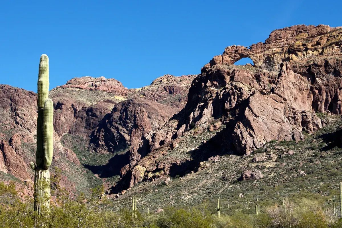
  • Arch Canyon — photo by ksblack99, Public domain; it is also the basis of the Day 2 card illustration
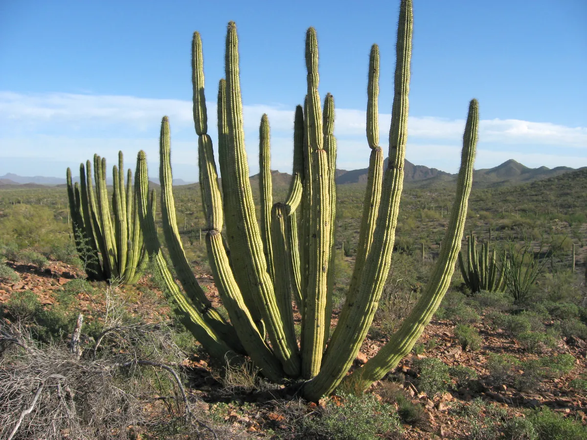
  • Organ pipe cactus — photo by Ken Lund, CC BY-SA 2.0; this resized copy is shared under the same license (CC BY-SA 2.0); it is also the basis of the Day 3 card illustration, shared under the same license (CC BY-SA 2.0)
  • Kitt Peak domes — photo by NOIRLab/NSF/AURA/P. Marenfeld, CC BY 4.0; it is also the basis of the Day 4 card illustration
  • Estes Canyon from Bull Pasture — photo by Ken Bosma, CC BY 2.0; it is also the basis of the Packing card illustration
  • Kitt Peak at sunset — photo by KPNO/NOIRLab/NSF/AURA/R.T. Sparks, CC BY 4.0
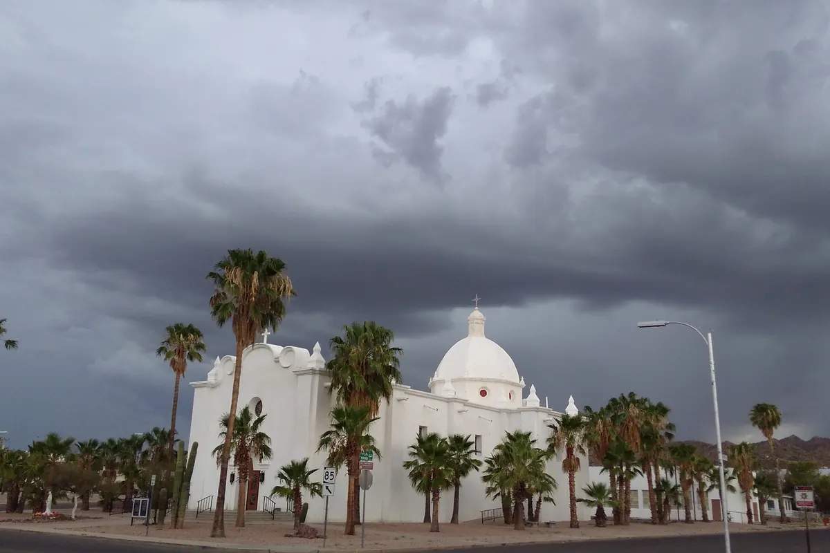
  • Immaculate Conception Church, Ajo — photo by Micah Perry, CC BY-SA 2.0; this resized copy is shared under the same license (CC BY-SA 2.0)
  • Cabeza Prieta at dusk — photo by John and Karen Hollingsworth, U.S. Fish and Wildlife Service, Public domain
  • McMath-Pierce Solar Telescope — photo by KPNO/NOIRLab/NSF/AURA/P. Marenfeld, CC BY 4.0
  • Ajo pit mine — photo by kallahar, CC BY 3.0
  • Historic Ajo — photo by Scotwriter21, CC BY-SA 4.0; this resized copy is shared under the same license (CC BY-SA 4.0)
  • Kris Eggle Visitor Center — photo by daveynin, CC BY 2.0
  • Cholla in the monument — photo by Beth Holt (Didymop), CC BY-SA 4.0; this resized copy is shared under the same license (CC BY-SA 4.0)
  • Route map — original illustrated route artwork for this guide; stop locations from OpenStreetMap

The trip index

Choose the landscape. Then choose the pace.

Every guide on the site, filtered the same way everywhere: region, season, who is going, style, trip type and length.