Three days · Harpers Ferry from DC

Harpers Ferry from DC, with teens: Lower Town, Maryland Heights and the Appalachian Trail

Reviewed How we verify

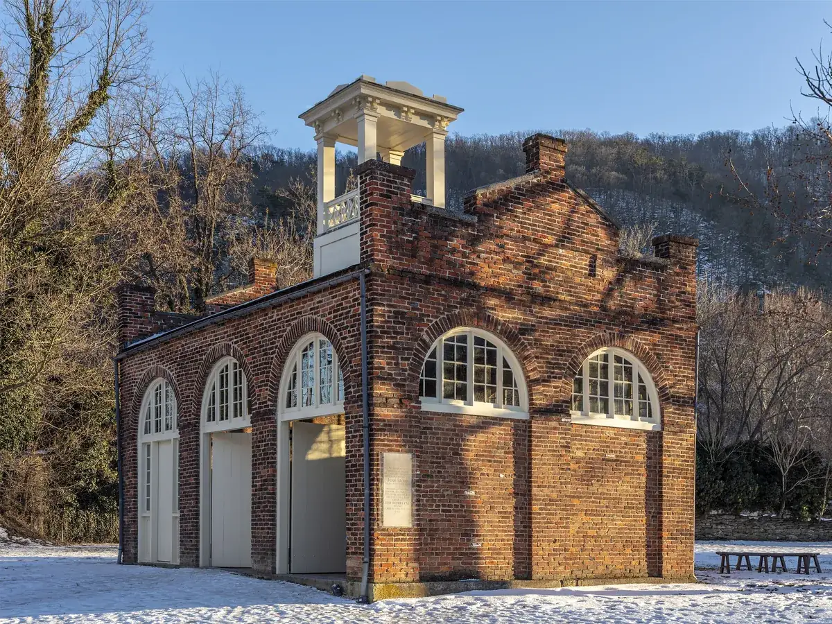
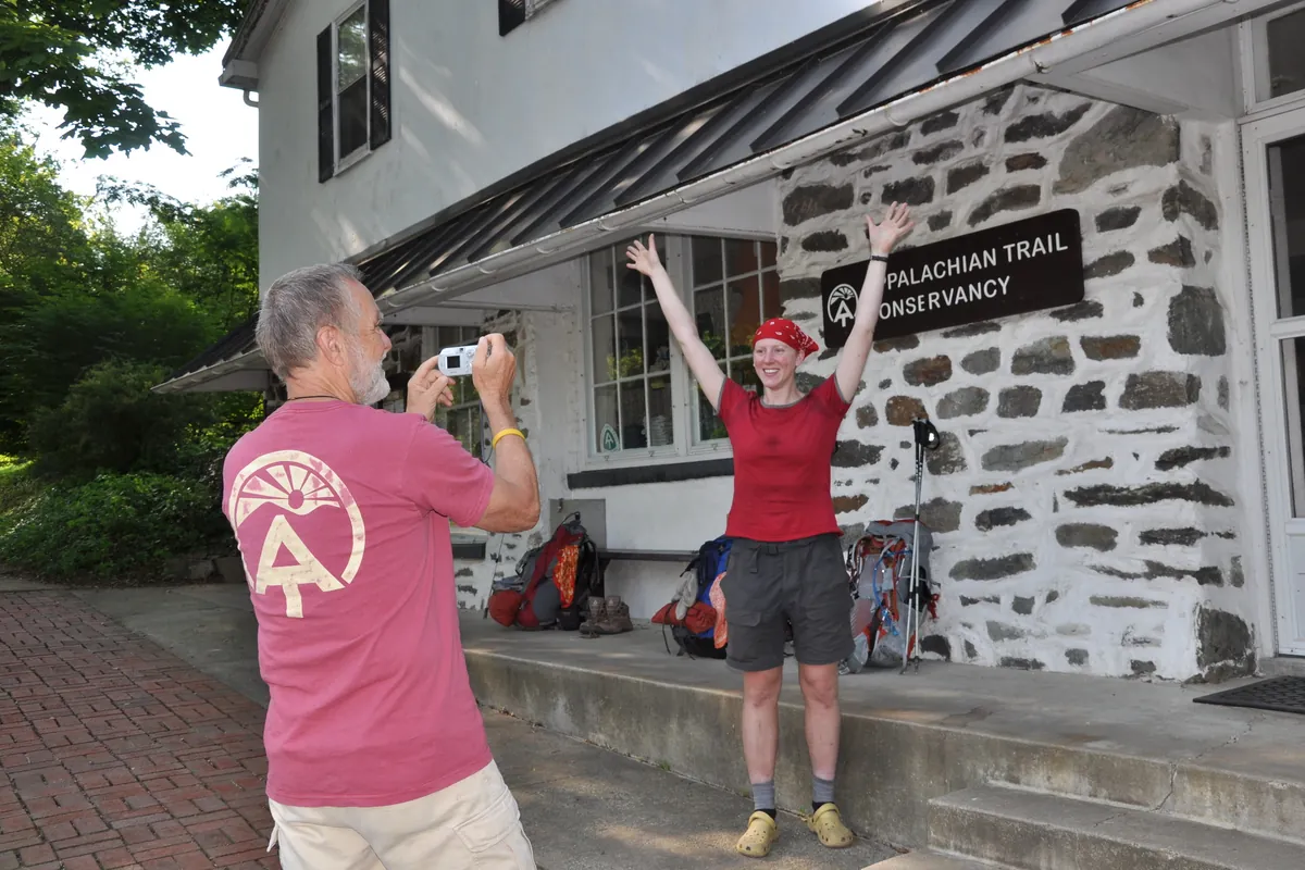
Three days in the river-gap town where the Potomac meets the Shenandoah: the engine house John Brown held in 1859, the stone steps to Jefferson Rock, a real climb to the cliffs of Maryland Heights, and the porch where Appalachian Trail hikers pose at the halfway point.

HistoryNational parksHiking

3 days / 2 nights Best Sep–Nov or Mar–May Teens
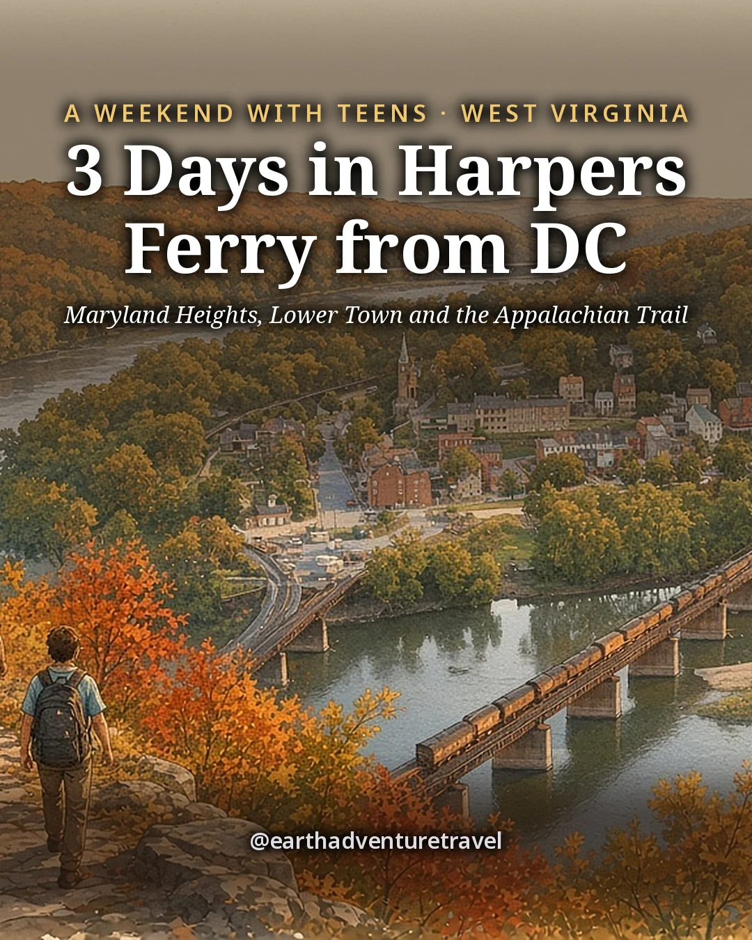
Illustration: the cover for 3 Days in Harpers Ferry from DC, teenagers with daypacks climbing a rocky trail through autumn oaks high above the meeting of two rivers, a railroad bridge and the old brick town far below
Original illustration
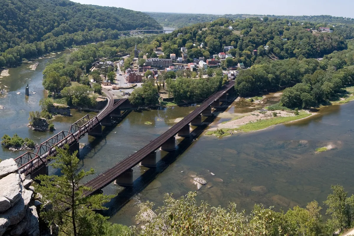
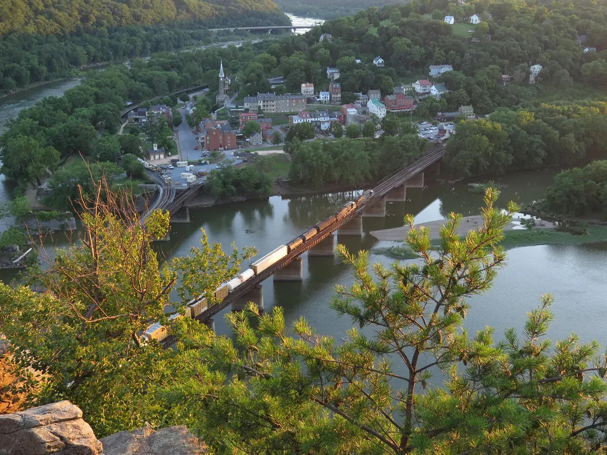
Harpers Ferry seen from Maryland Heights, the town on its point between the Shenandoah and Potomac rivers with railroad bridges below
From Maryland Heights · Lower Town on its point where the Shenandoah meets the Potomac

The trip in 60 seconds

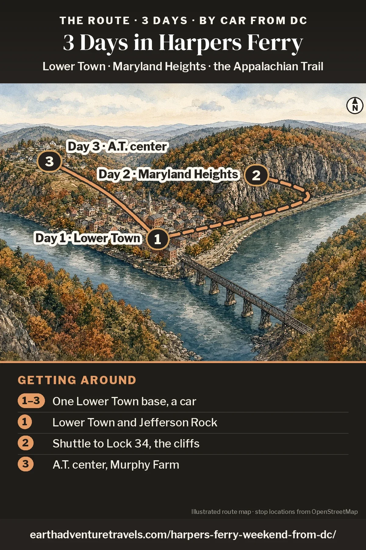
Illustration: route map of the three days, an illustrated bird’s-eye view of Harpers Ferry in autumn where the Potomac and Shenandoah meet, with numbered pins at Lower Town (Day 1), the Maryland Heights cliffs across the Potomac (Day 2) and the Appalachian Trail Conservancy visitor center on the hill (Day 3)
Harpers Ferry in three days · one base, the park shuttle and short walks

Postcards from the trip

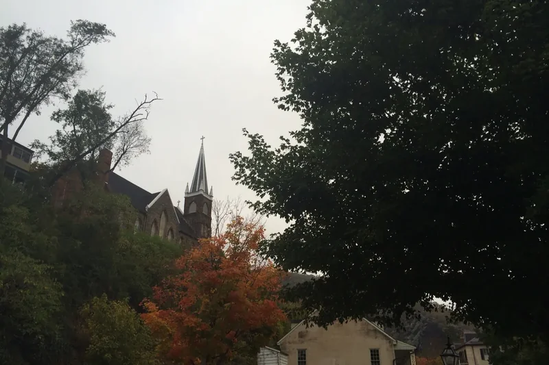
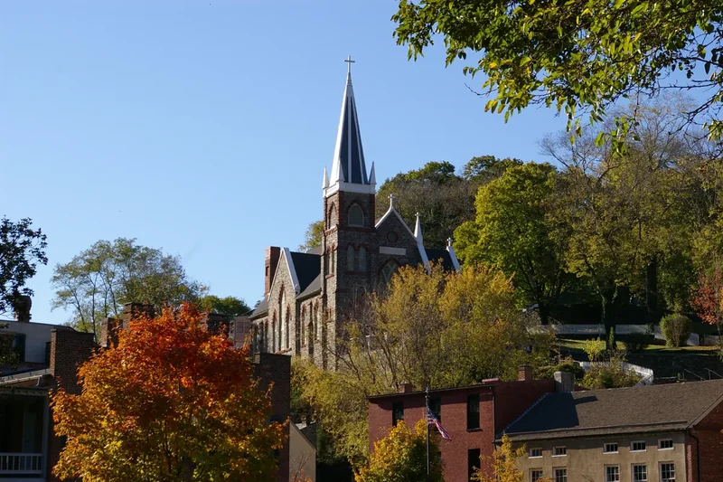
St. Peter’s Catholic Church with its tall spire above Lower Town rooftops and autumn trees
St. Peter’s Church · The stone steps to Jefferson Rock pass right by it.
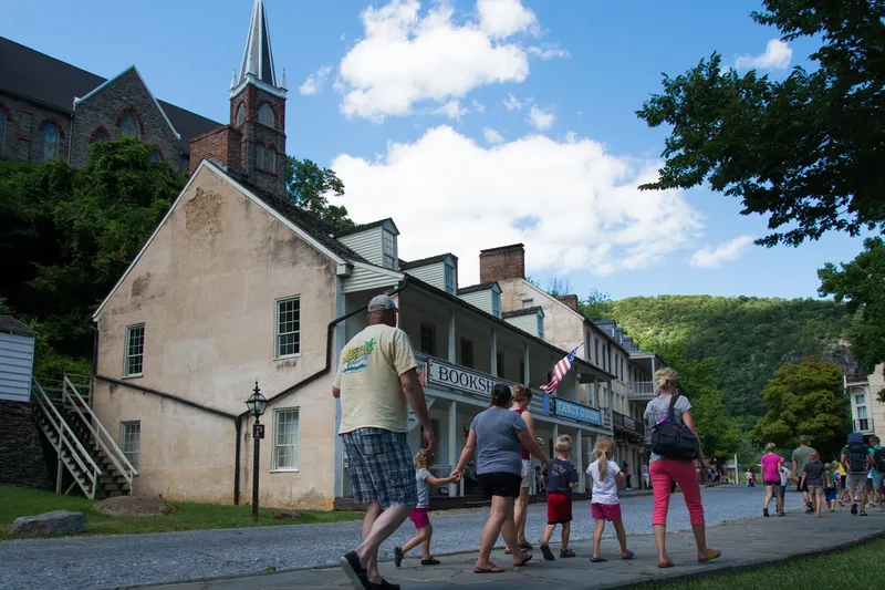
Visitors walking along a Lower Town street in Harpers Ferry past stone and brick buildings
Shenandoah Street · Lower Town’s main street runs to the Point.
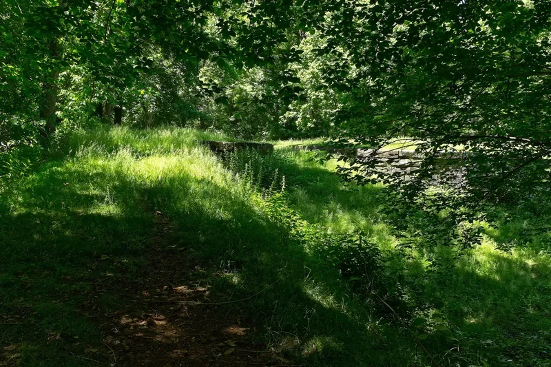
An overgrown stone canal lock on the Chesapeake and Ohio Canal near Harpers Ferry, with green trees
A canal lock · Stone locks line the C&O towpath upstream.
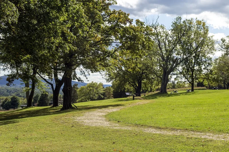
A grassy ridge with large trees and a gravel path on Bolivar Heights above Harpers Ferry
Bolivar Heights · Civil War batteries on the ridge above town.

The idea

Three days in Harpers Ferry with teens: a raid, a cliff and the trail’s halfway office.

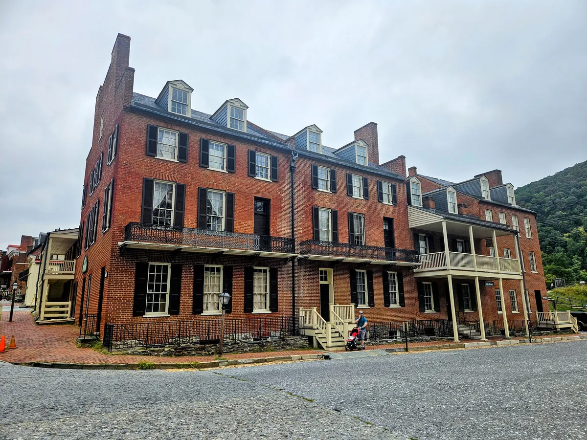
Harpers Ferry sits on a point of land where the Potomac and Shenandoah rivers meet and cut through the Blue Ridge, about 66 miles from Washington, DC. Most of the old town, called Lower Town, is part of Harpers Ferry National Historical Park, and the Appalachian Trail runs straight through it.

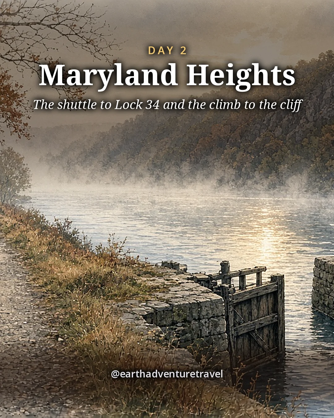
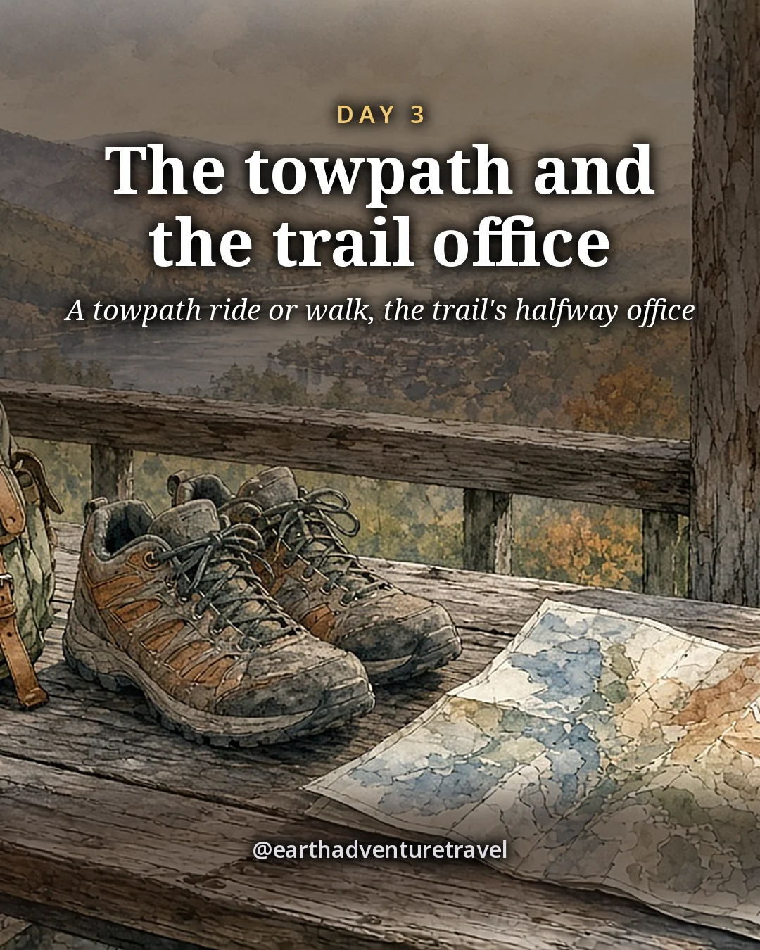
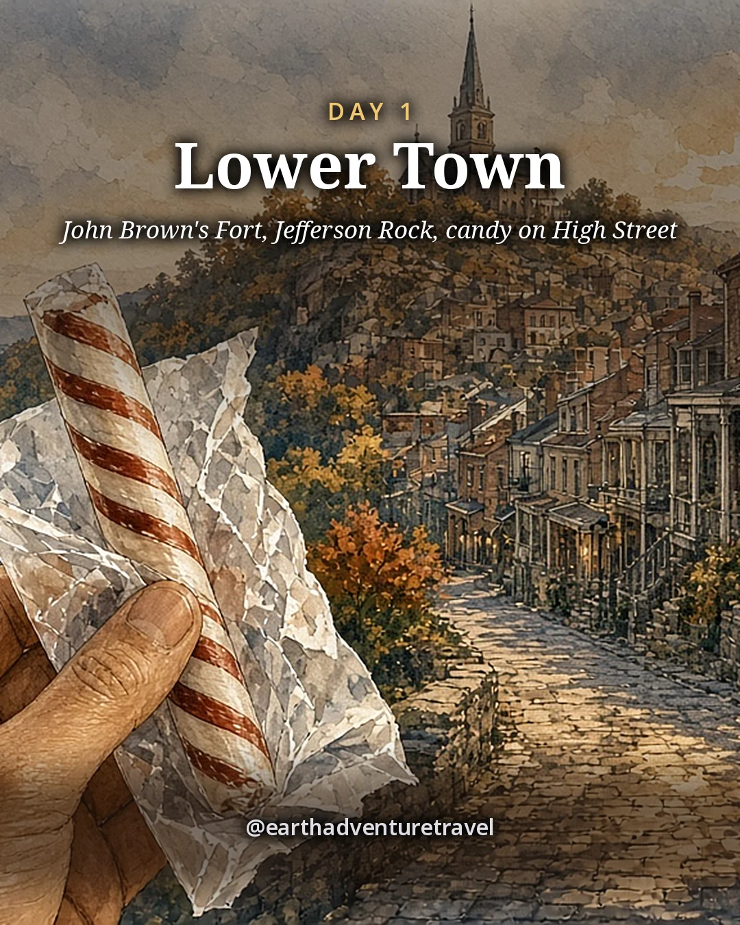
Day 1 is the drive out and Lower Town on foot: John Brown’s Fort, the stone steps to Jefferson Rock and a candy stop on High Street. Day 2 is the big one, the park shuttle to Lock 34 and the climb to the Maryland Heights cliffs. Day 3 is the Appalachian Trail Conservancy’s visitor center, a flat stretch of canal towpath and an island of mill ruins, with dinner by the Potomac before heading back.

Building a history-heavy weekend? Pair this with Gettysburg with kids or the Washington, DC family guide.

The route

Three days, one base, a shuttle and the trail

Lower Town on foot, then the shuttle across the Potomac for the cliff hike, then the Appalachian Trail office and the river trails, two nights in the same room.

Illustrated travel journal with a winding route and pinsCustom Edition

How we tailor your Harpers Ferry plan

A plan that knows how you travel.

3 full itineraries in every plan, Saver to Splurge, so you can pick or mix.

🌙 Your rhythm

Early riser or late starter? We set each day's start around you.

🥾 Your needs

Prefer shorter walks? We pick stops that are easy to reach.

🌄 Your kind of day

Rather skip the crowds? We trade the busiest overlook for a quieter sunrise spot.

3 full itineraries in every plan

Saver, Sweet spot and Splurge, each a complete day-by-day plan. Pick one or mix.

All 3 in your plan
$SaverSmart value
$$Sweet spotBest balance
$$$SplurgeTreat yourself
See it in a sample plan

Yours from $39.

Every plan is built around you, your pace and your must-dos.

Longer trip? Add days 15–21 for $8 a day.

Getaway (1–3 days) · $39

Art & photos

  • 5 original illustrations of your trip's highlights
  • 8 destination photos to preview each stop1 cover · 3 daily · 4 postcards

Planning

  • Timed itinerary so every day runs at an easy pace
  • 3 full itineraries Saver, Sweet spot and Splurge, so you can pick or mix
  • 3 curated stays per stop to match your budget
  • Where to eat for breakfast, lunch and dinner, plus insider tips every day
  • Tap-to-go routes to every hotel, activity and restaurant, opening straight in your maps app
  • Booking timeline so you book the right things in the right order
  • Packing list made for every traveler coming

Your plan, your way

  • Digital trip page in your account, on any device
  • PDF to save, print or share
  • Trip playlist with song links for Spotify and Apple Music
  • 1 free refinement to tweak anything after delivery

Emailed within 3 business days of your trip brief. Full refund before work starts, or if we can’t deliver. 1 free refinement after delivery (2 on Grand Journey); extra refinements after delivery, $19 each.

Our promise

  • Full refund before work starts, or if we can’t deliver. Change your mind before work starts and we’ll refund you in full. If we can’t deliver your plan, you’re refunded in full too.
  • One free refinement after delivery (two on Grand Journey). Tell us what to change and we’ll refine it. Extra refinements are $19 each.
  • Spotted an error? Tell us which fact on this page looks wrong and we’ll review it.

The people behind the plans

Who is Earth Adventure Travel?

We build routes for real life — wrangling kids, spanning generations, or heading out solo — and review key details regularly. Things change and we can miss some, so we link the official sources for you to confirm before you go.

Learn About Us

Before you go

Plan & pack

Pack for the trip

  • Hiking shoes with real grip. Maryland Heights is steep, rocky and loose near the cliffs.
  • Two liters of water each. There is no water on the trails.
  • A daypack for lunch. No food is sold past the trailhead.
  • A card, not cash. The park entrance station is cashless.
  • Warm layers and a rain shell. The ridge is windier than town.
  • A headlamp. Days are short in fall and winter, and trails close at sunset.
  • Tick repellent. The park lists ticks among its trail hazards.
  • A charged phone with an offline map. Helpful for meeting points on the trail.
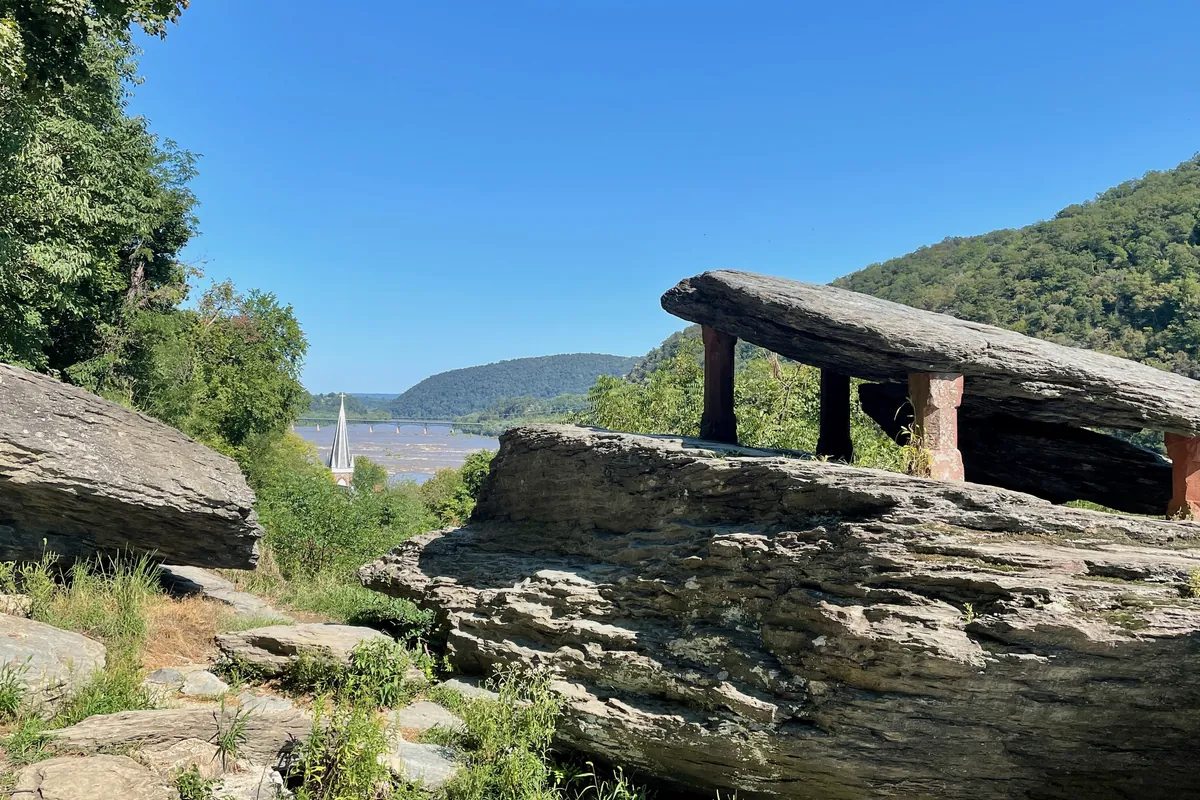
Jefferson Rock in Harpers Ferry, a flat shale slab on stone pillars above the river valley
Pack shoes with grip for the stone steps and rocky trails. Jefferson Rock · the stone steps up from High Street are steep; wear shoes with grip
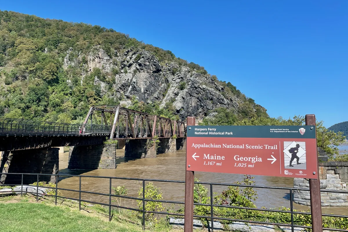
An Appalachian Trail sign beside the railroad bridge over the Potomac at Harpers Ferry, with Maryland Heights behind
Bring a daypack and water for long days on the A.T. The A.T. at the river · long days on the trail call for a daypack and plenty of water
Illustration: two pairs of trail shoes, a water bottle, a small daypack, a trail snack bag, a compass, a striped candy stick and a folded paper map on a wooden table, original illustrated plan card for 3 days in Harpers Ferry
Original illustration · trail shoes, a daypack, a water bottle and a candy stick on a wooden table

Harpers Ferry in one frame

The plan card gathers the weekend on one table: shoes for the cliffs, water for a trail without any, a map for the towpath and a candy stick from High Street. Every stop and meal is in the day-by-day above.

St. Peter’s Catholic Church with its tall spire above Lower Town rooftops and autumn treesVisitors walking along a Lower Town street in Harpers Ferry past stone and brick buildingsAutumn trees in orange and gold along a street of old buildings in Lower Town Harpers Ferry
Around Lower Town · St. Peter’s, Shenandoah Street and High Street in the fall
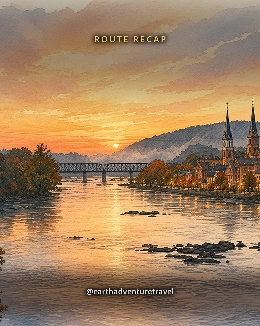
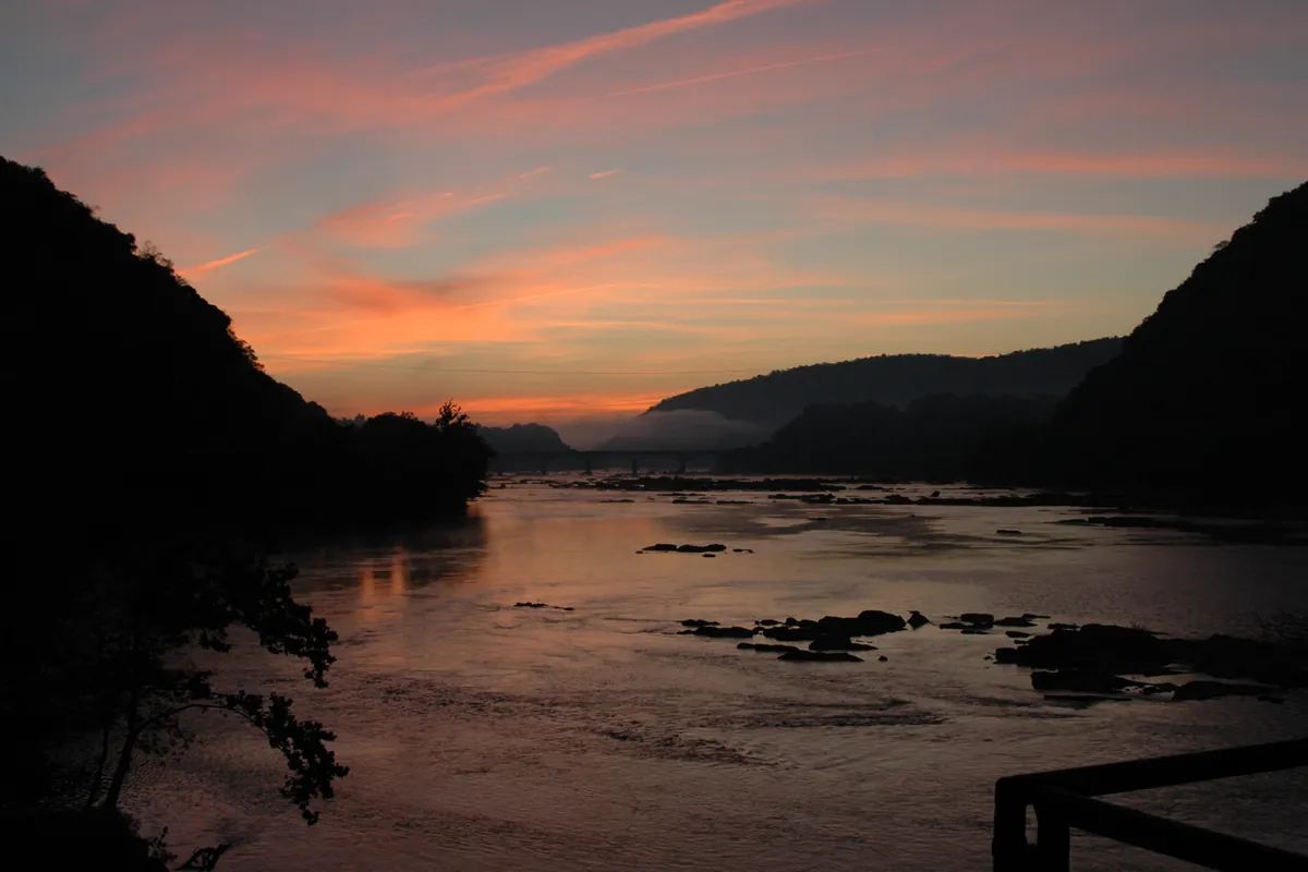
Illustration: Harpers Ferry at dusk from the Point, warm windows in the brick town between steep wooded ridges, the railroad bridge across the river under a soft evening sky, original illustrated recap card
Original illustration · the river-gap town at dusk from the Point

Where the day ends

The recap card closes the weekend at the Point, with lit windows in Lower Town and the bridge across the Potomac. The day-by-day has each stop and meal.

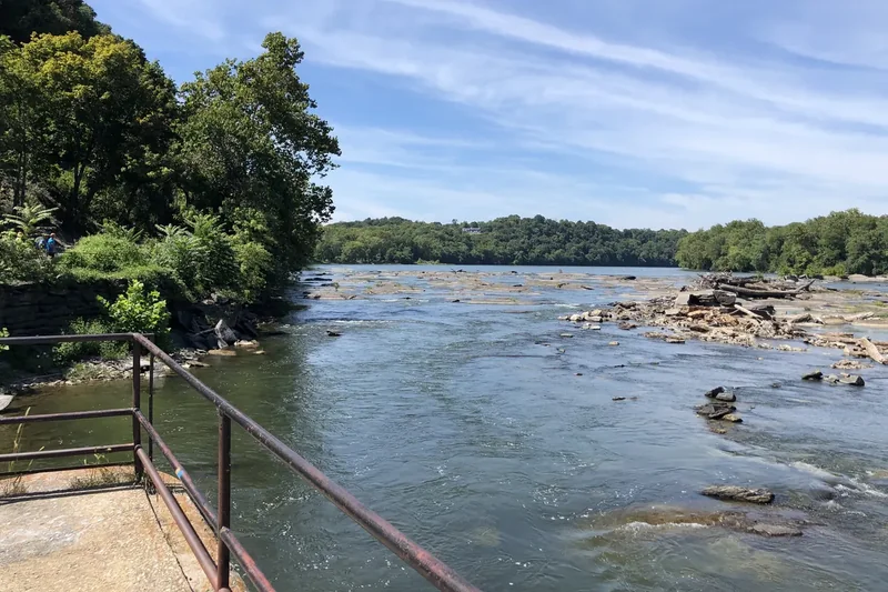
An overgrown stone canal lock on the Chesapeake and Ohio Canal near Harpers Ferry, with green treesThe Potomac River rapids called the Needles, seen from the ruins of the old armory canalA grassy ridge with large trees and a gravel path on Bolivar Heights above Harpers Ferry
Rivers and ridges · a canal lock, the Potomac rapids and Bolivar Heights

Quick answers

Planning notes

Can you take the train from DC to Harpers Ferry on a weekend?

Yes, but only on Amtrak: the MARC Brunswick Line runs Monday to Friday only, while Amtrak’s long-distance train between Washington and Chicago stops at Harpers Ferry seven days a week, once in each direction, and needs a reservation. The Harpers Ferry station is unstaffed with no ticket office, and the far platform is reached by stairs. Driving the 66 miles is the simpler option; see the three-day route.

How long is the Maryland Heights hike?

The Maryland Heights hike from Lower Town to the overlook covers 4.5 miles there and back and climbs about 1,154 feet, which the National Park Service estimates at 3.4 hours; adding the Stone Fort loop makes it 6.2 miles and about 4.6 hours. While the footbridge is closed, you start from C&O Canal Lock 34 by shuttle, so plan for more walking. Details are on the Maryland Heights day.

Is the footbridge to Maryland Heights open?

No, not as of October 2026: the Goodloe Byron Memorial Footbridge across the Potomac is closed for safety repairs, and the park expects it to stay closed this fall. A park shuttle with limited seats runs from the Visitor Center to C&O Canal Lock 34, first bus 9 a.m., last bus back from Lock 34 at 6:30 p.m., and it does not run in bad weather or carry pets.

Is there water on the Harpers Ferry trails?

No, the National Park Service says drinking water is not available on any Harpers Ferry trail, including Maryland Heights, and there are no restrooms on that trail either. Fill bottles at the Visitor Center or in Lower Town, and carry enough for the whole hike, since the outdoor fountains are turned off in winter.

Is a weekend enough for Harpers Ferry?

Yes, two nights and three days covers Lower Town and Jefferson Rock, one long hike to the Maryland Heights cliffs, and the Appalachian Trail Conservancy visitor center, without rushing. The park’s $20 vehicle pass is valid for three consecutive days, so a Friday-to-Sunday weekend fits it exactly.

When is the best time to visit Harpers Ferry?

September to November and March to May suit a hiking weekend in Harpers Ferry, with milder days and fall color or spring wildflowers. October is the park’s busiest month, so arrive early on weekends. The park is closed on Thanksgiving Day, December 25 and January 1, and shuttle hours are shorter after November 1.

Is Harpers Ferry good for teens?

Yes, Harpers Ferry gives teens a real cliff hike at Maryland Heights, the Appalachian Trail running through town, John Brown’s Fort and a candy shop built around candy history, all close enough to explore on foot. For another history weekend with kids, see Gettysburg with kids.

How much is the Harpers Ferry entrance fee?

The Harpers Ferry National Historical Park entrance fee is $20 per private vehicle or $10 per person arriving on foot or by bike, and visitors under 16 do not need a pass. Each pass is valid for three consecutive days, covers parking, the museums and the trails, and must be paid by card or online, since the park does not accept cash.

Before you set off — the official checks

Hours, shuttles and closures change. Confirm current details on the sites listed under official links.

References

Research behind this guide

The reporting and research that shaped this itinerary.

John Brown’s Fort ↗Harpers Ferry National Historical Park
Jefferson Rock ↗Harpers Ferry National Historical Park

Photo credits

Photos via Wikimedia Commons, resized and converted to WebP. The illustrated cover, day cards, plan card and recap card are this guide’s original itinerary artwork, illustrated from the credited photos listed here.

  • Maryland Heights view — photo by Mark Fickett, CC BY 3.0; it is also the basis of the Cover and Cover web illustrations
  • Lower Town — photo by Upstateherd, CC BY-SA 4.0; this resized copy is shared under the same license (CC BY-SA 4.0); it is also the basis of the Day 1 card illustration, shared under the same license (CC BY-SA 4.0)
  • Maryland Heights — photo by HarpersFerryNPS, Public domain; it is also the basis of the Day 2 card illustration
  • A.T. visitor center — photo by HLKirk, CC BY-SA 4.0; this resized copy is shared under the same license (CC BY-SA 4.0); it is also the basis of the Day 3 card illustration, shared under the same license (CC BY-SA 4.0)
  • Jefferson Rock — photo by Zeete, CC BY-SA 4.0; this resized copy is shared under the same license (CC BY-SA 4.0); it is also the basis of the Packing card illustration, shared under the same license (CC BY-SA 4.0)
  • A.T. sign — photo by Zeete, CC BY-SA 4.0; this resized copy is shared under the same license (CC BY-SA 4.0)
  • John Brown’s Fort — photo by Acroterion, CC BY-SA 4.0; this resized copy is shared under the same license (CC BY-SA 4.0)
  • River at dusk — photo by National Park Service Digital Image Archives, Public domain
  • Lower Town in fall — photo by HarpersFerryNPS, CC BY-SA 2.0; this resized copy is shared under the same license (CC BY-SA 2.0)
  • Potomac rapids — photo by Beyond My Ken, CC BY-SA 4.0; this resized copy is shared under the same license (CC BY-SA 4.0)
  • St. Peter’s Church — photo by Joy Schoenberger, CC BY 3.0
  • Shenandoah Street — photo by HarpersFerryNPS, CC BY 2.0
  • C&O Canal lock — photo by Bonnachoven, CC0
  • Bolivar Heights — photo by Acroterion, CC BY-SA 4.0; this resized copy is shared under the same license (CC BY-SA 4.0)
  • Route map — original illustrated route artwork for this guide; stop locations from OpenStreetMap

The trip index

Choose the landscape. Then choose the pace.

Every guide on the site, filtered the same way everywhere: region, season, who is going, style, trip type and length.