Seven days · Norman Island, Virgin Gorda, Anegada & Jost Van Dyke

Sailing the British Virgin Islands with friends: The Baths, the North Sound, Anegada and Jost Van Dyke

Reviewed How we verify

A week on a chartered boat out of Road Town: the first night in the Bight at Norman Island, the granite pools of The Baths, sunset in the North Sound, a daylight reef passage to Anegada for lobster on the sand, and a swim-in beach at White Bay before the last big night in Great Harbour.

Active & adventure tripsTropical islands & the CaribbeanSpa, cruise & splurge trips

7 days / 7 nights aboard December–April Friends
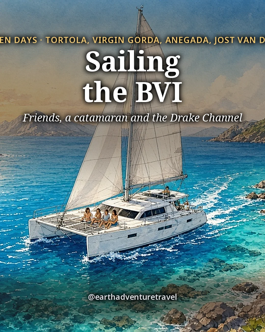
Illustration: the cover for 7 Days in the British Virgin Islands Sailing with Friends, a white catamaran under full sail crossing a deep-blue channel between steep green islands on a breezy morning, four small faceless friends on the foredeck trampoline and one at the helm, a turquoise reef edge and a white-sand cove on the near island
Original illustration
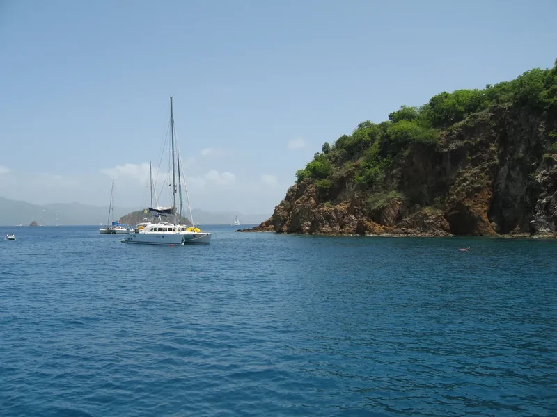
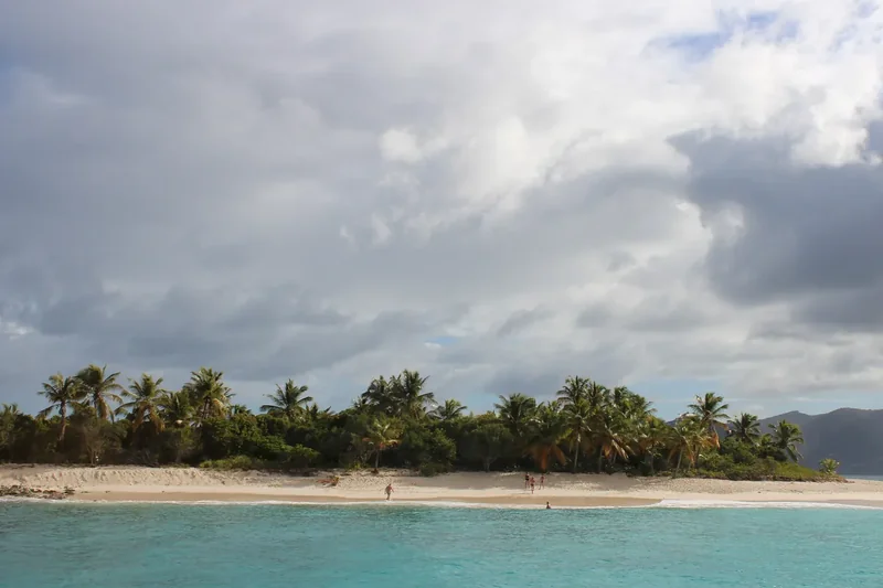
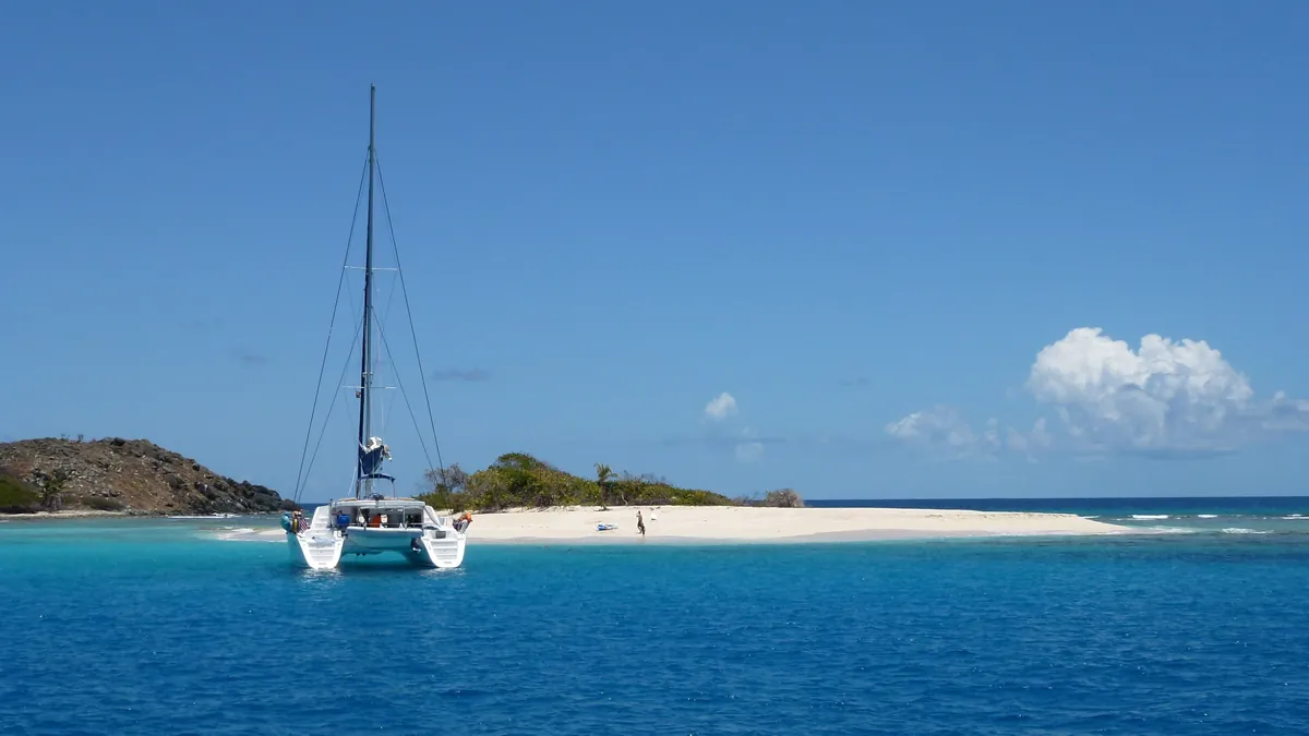
Boats at anchor off Sandy Spit, a tiny white-sand islet in the British Virgin Islands
Sandy Spit · a tiny islet of sand and palms off Jost Van Dyke, seen from a boat at anchor

The trip in 60 seconds

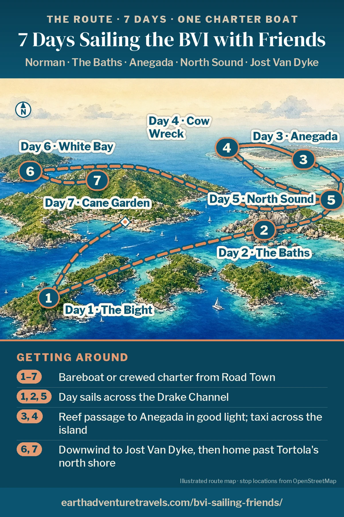
Illustration: route map of the week, a bird’s-eye view of the British Virgin Islands from the south, with Tortola across the middle, Norman Island in the channel (Day 1), the granite boulders of Virgin Gorda (Day 2), the North Sound (Days 2 and 5), low flat Anegada (Days 3 and 4) and Jost Van Dyke to the northwest (Day 6)
The British Virgin Islands by boat · Norman, Virgin Gorda, Anegada and Jost Van Dyke

Postcards from the trip

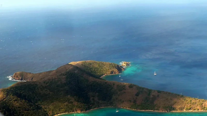
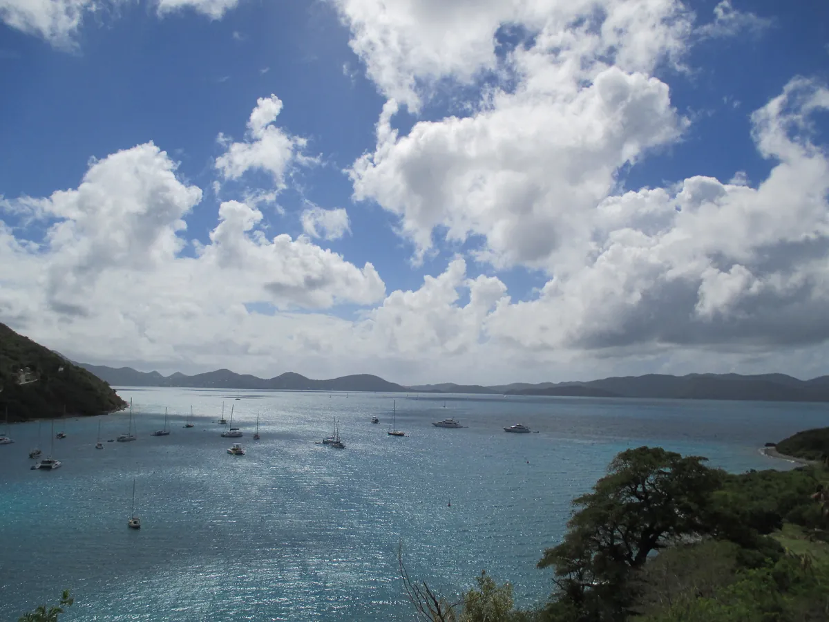
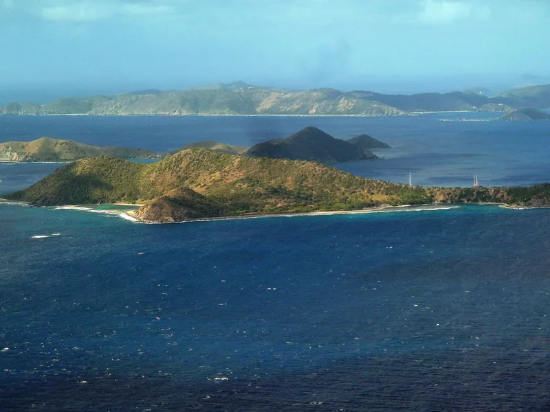
The North Sound of Virgin Gorda from above, with reefs, islands and boats
The North Sound · Sheltered water ringed by hills, two nights out of seven.
Cooper Island, Salt Island and Peter Island across blue water
Cooper, Salt and Peter · The small islands that line the channel south of Tortola.
A shallow salt pond with scrub on Anegada
Anegada’s salt ponds · Where the flamingos wade, inland from Setting Point.
Great Harbour on Jost Van Dyke with boats at anchor and the hill behind
Great Harbour · The sandy street on Jost Van Dyke where the last night happens.

The idea

Seven days, five islands and one boat for all of you.

Look down first. Under the hull the water goes from navy to turquoise to clear sand in the space of a boat length, and that is the whole case for sailing the British Virgin Islands. The islands sit close together around the Sir Francis Drake Channel, mostly in sight of each other, so the sails are short and the evenings are long, and a group of friends can share one boat, one chart and one table.

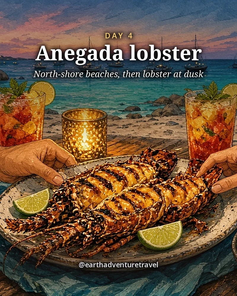
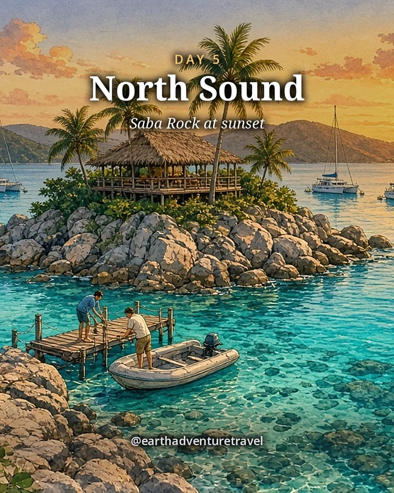
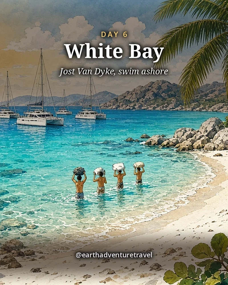
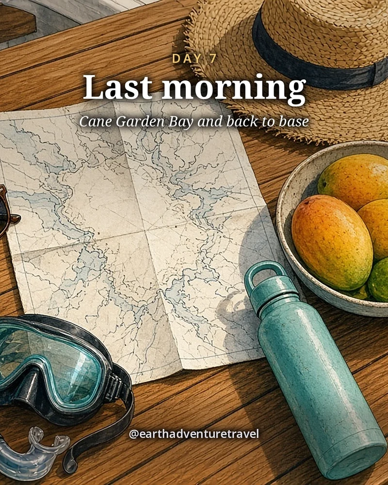
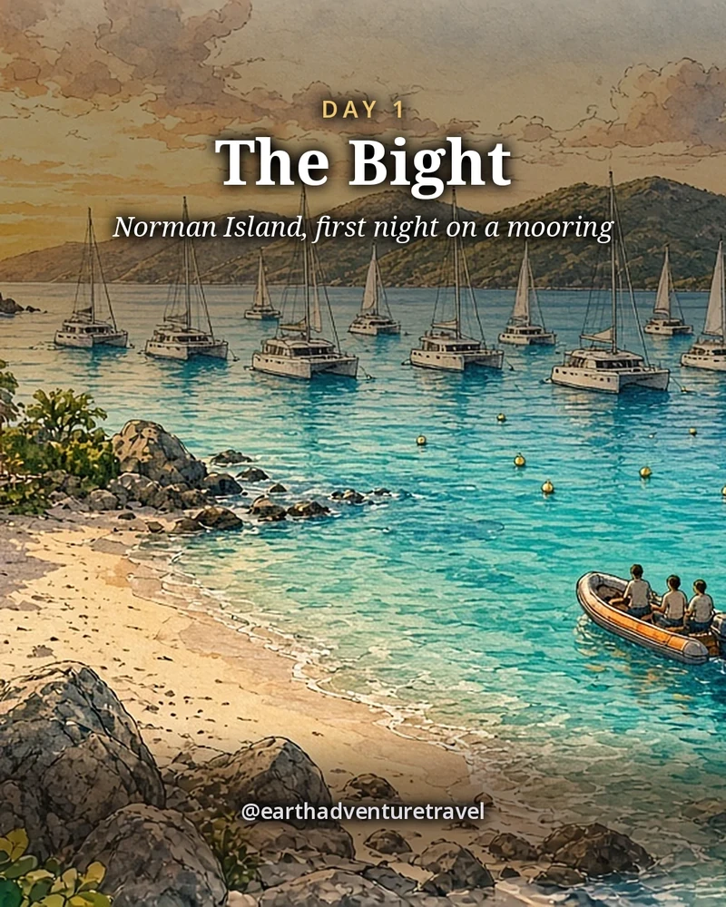
Day 1 leaves Road Town for the Bight at Norman Island. Day 2 swims the granite pools at The Baths and ends in the North Sound. Days 3 and 4 cross the reef to Anegada for flamingos and lobster on the sand. Day 5 is sunset back in the North Sound, Day 6 a long downwind sail to White Bay and Great Harbour on Jost Van Dyke, and Day 7 the last morning and the sail home.

More Caribbean? See St. John, Puerto Rico or every trip on the site.

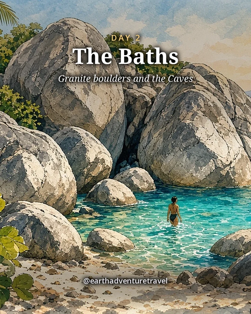
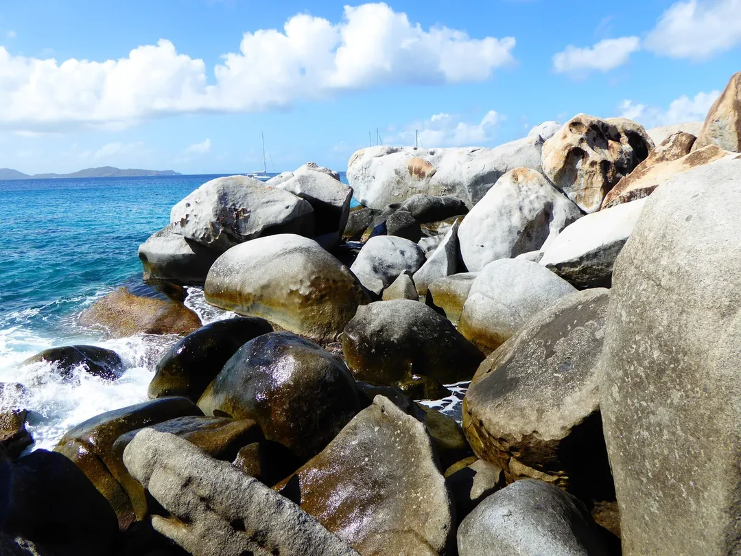
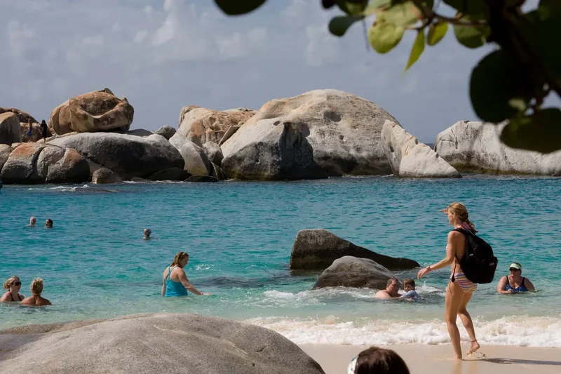
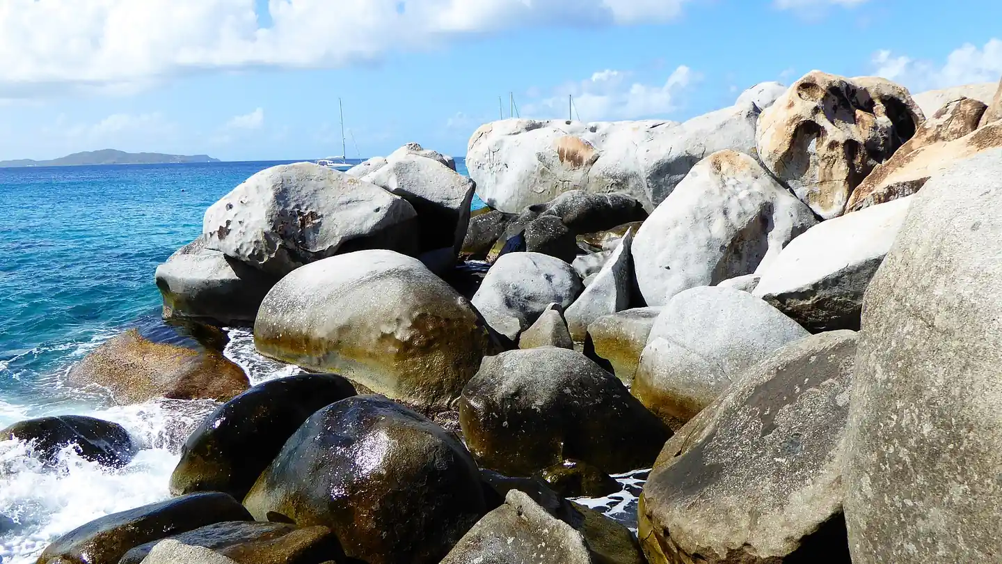
The Baths, Virgin Gorda: granite boulders and clear water on the Sir Francis Drake Channel side. Photo: Mattes, CC BY 2.0 DE, via Wikimedia Commons

The route

Seven days, one boat, a loop of the islands

A loop from the charter base in Road Town: east along the channel to Virgin Gorda, north across the reef to Anegada, west along Tortola’s north shore to Jost Van Dyke, then back to the base.

Illustrated travel journal with a winding route and pinsCustom Edition

How we tailor your British Virgin Islands plan

A plan that knows how you travel.

3 full itineraries in every plan, Saver to Splurge, so you can pick or mix.

🌙 Your rhythm

Late night? The next morning starts slow, with brunch before anything else.

🥾 Your needs

Want to split up for an afternoon? Day 2 gives you a hike or a slow wander, then dinner together.

🌄 Your kind of day

Here for the food? Every day plans around one meal worth the trip.

3 full itineraries in every plan

Saver, Sweet spot and Splurge, each a complete day-by-day plan. Pick one or mix.

All 3 in your plan
$SaverSmart value
$$Sweet spotBest balance
$$$SplurgeTreat yourself
See it in a sample plan

Yours from $39.

Every plan is built around you, your pace and your must-dos.

Longer trip? Add days 15–21 for $8 a day.

Journey (4–8 days) · $69

Art & photos

  • 8 original illustrations of your trip's highlights
  • 14 destination photos to preview each stop1 cover · 6 daily · 7 postcards

Planning

  • Timed itinerary so every day runs at an easy pace
  • 3 full itineraries Saver, Sweet spot and Splurge, so you can pick or mix
  • 3 curated stays per stop to match your budget
  • Where to eat for breakfast, lunch and dinner, plus insider tips every day
  • Tap-to-go routes to every hotel, activity and restaurant, opening straight in your maps app
  • Booking timeline so you book the right things in the right order
  • Packing list made for every traveler coming
  • 6 rainy-day backup plans so a wet day still feels like vacation

Your plan, your way

  • Digital trip page in your account, on any device
  • PDF to save, print or share
  • Trip playlist with song links for Spotify and Apple Music
  • Calendar file that drops every day into your calendar
  • Budget estimate so you know the cost before you go
  • 1 free refinement to tweak anything after delivery

Emailed within 3 business days of your trip brief. Full refund before work starts, or if we can’t deliver. 1 free refinement after delivery (2 on Grand Journey); extra refinements after delivery, $19 each.

Our promise

  • Full refund before work starts, or if we can’t deliver. Change your mind before work starts and we’ll refund you in full. If we can’t deliver your plan, you’re refunded in full too.
  • One free refinement after delivery (two on Grand Journey). Tell us what to change and we’ll refine it. Extra refinements are $19 each.
  • Spotted an error? Tell us which fact on this page looks wrong and we’ll review it.

The people behind the plans

Who is Earth Adventure Travel?

We build routes for real life — wrangling kids, spanning generations, or heading out solo — and review key details regularly. Things change and we can miss some, so we link the official sources for you to confirm before you go.

Learn About Us

Before you go

Plan & pack

Pack for a week on a boat

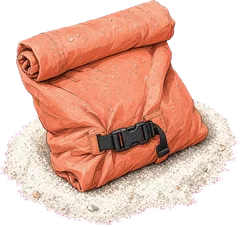
  • Soft bags only. Boat lockers are small and curved; a soft duffel folds away, a hard suitcase doesn’t.
  • Reef-safe sunscreen and a rash guard. You’ll be in the water every day, often over coral.
  • A dry bag. For phones and wallets on the dinghy and the swim ashore at White Bay.
  • Reef shoes. For the boulders and pools at The Baths and rocky landings.
  • A headlamp. For dinghy rides back after dinner and finding things in the cabin.
  • A light rain shell. Trade-wind showers blow through fast, even in the dry season.
  • Seasickness bands or tablets. The Anegada passage and the long sail west are open water.
  • Passports and the ED Card. Everyone completes the free entry card online before travel, only at bviedcard.gov.vg.
Yachts in the marina at Wickhams Cay in Road Town, Tortola
The charter base in Road Town: check-out, provisioning and the last night aboard. Wickhams Cay, Road Town · the marina harbour on Tortola where most BVI charters begin
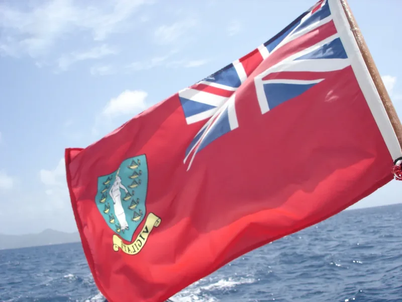
The red ensign of the British Virgin Islands flying from a boat
Fly the BVI courtesy flag while you’re in the territory’s waters. The BVI ensign · the territory’s flag, flown as a courtesy flag by visiting boats
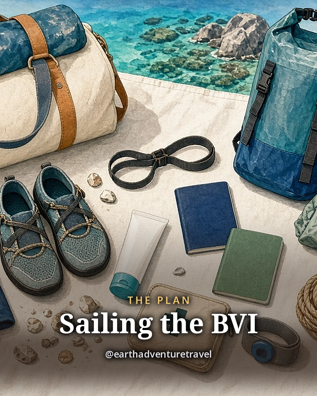
Illustration: a flat-lay on a white canvas sail-bag, a soft duffel, a rash guard, reef shoes, a dry bag, a headlamp, a light rain shell, a blank sunscreen tube, two passports with plain covers, a small first-aid pouch and a seasickness band, a coil of rope and a frangipani flower beside them, original illustrated plan card for 7 days in the British Virgin Islands
Original illustration · a soft duffel, dry bag, reef shoes and passports on a white sail-bag

A week aboard in one frame

The plan card lays the week out on a sail-bag: a soft duffel that stows, a dry bag for the dinghy, reef shoes for The Baths and passports for the entry card. Every stop and meal is in the day-by-day above.

The North Sound of Virgin Gorda from above, with reefs, islands and boatsCooper Island, Salt Island and Peter Island across blue waterThe green west end of Norman Island above blue water
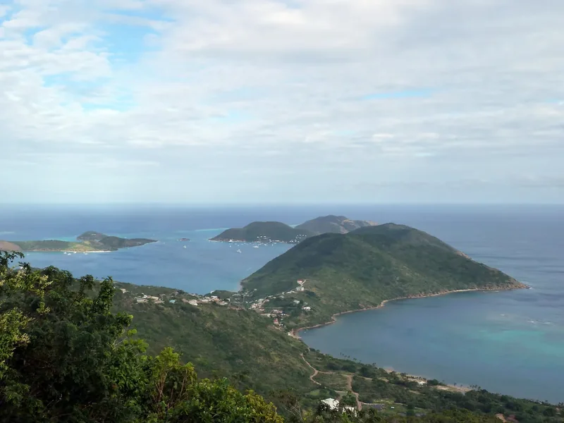
Across the channel · the North Sound, the small islands and Norman Island
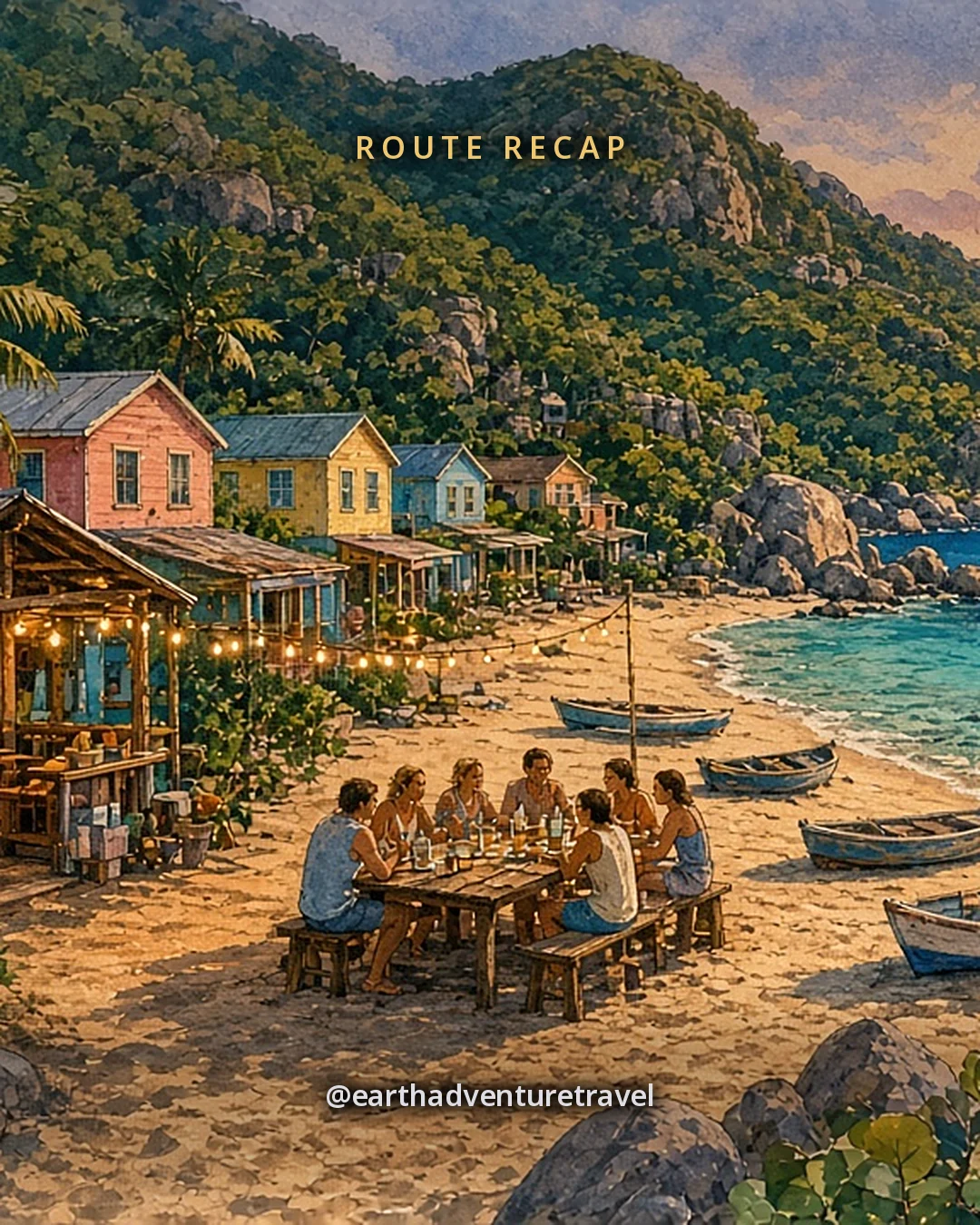
Illustration: golden evening in Great Harbour, Jost Van Dyke, a sandy single street of open-air wooden beach bars and pastel-coloured cottages under a steep green hill, dinghies pulled up on the sand and catamarans anchored in the harbour, small faceless friends at a long table under string lights on the sand, original illustrated recap card
Original illustration · friends at a long table under string lights on the sand in Great Harbour

Where the week ends

The recap card ends the week in Great Harbour: dinghies on the sand, the boats at anchor and one long table under the lights. The day-by-day has each stop and meal.

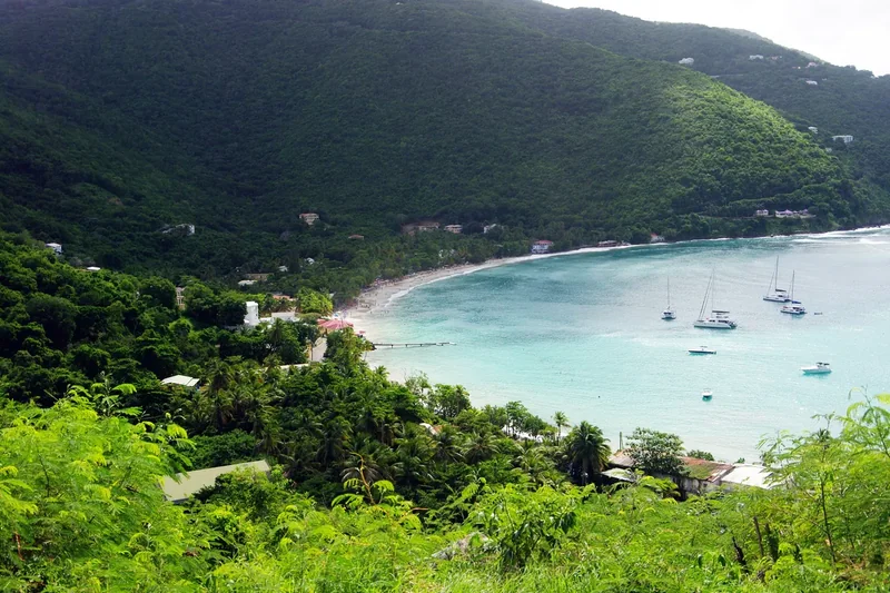
Sandy Cay, a small island of white sand and palms ringed by turquoise waterThe curved beach and palms of Cane Garden Bay on TortolaA shallow salt pond with scrub on Anegada
Sand and salt · Sandy Cay, Cane Garden Bay and Anegada’s salt ponds

Quick answers

Planning notes

How many days do you need to sail the British Virgin Islands?

Plan seven days and seven nights aboard for a first BVI charter with friends. That fits Norman Island, The Baths, the North Sound, two nights on Anegada and Jost Van Dyke with mostly short sails. See the seven-day route for how the days fit together.

How much does it cost to visit The Baths?

From Nov 1, 2026, entry to The Baths and Devil’s Bay is $10 for a visiting adult and $5 for under-18s, up from $3 and $2. On a charter, the weekly National Parks permit bought through the charter company includes entry to The Baths. See The Baths day.

Do you need an entry card for the British Virgin Islands?

Yes, every traveller entering or leaving the BVI by air or sea needs the Entry and Departure (ED) Card. It is free and can be completed online up to 72 hours before travel. The only official site is bviedcard.gov.vg; the Government has warned about fake sites.

Can you sail to Anegada on a bareboat charter?

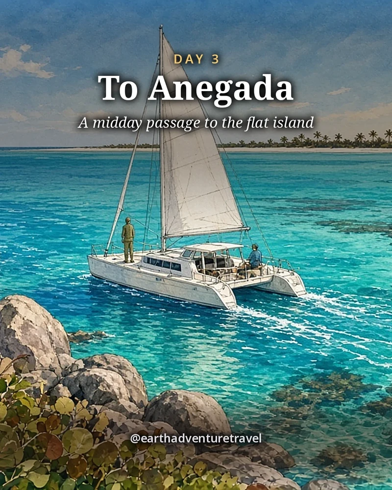
Yes, many charters go to Anegada, but it is the skipper’s call and some companies restrict it. Anegada is a low coral island ringed by reef, so cross only in daylight with the sun high and a bow watch. See the passage day.

When is the best time to sail the BVI?

December to April is the best time to sail the BVI, with steady trade winds and dry weather. Hurricane season runs from June to November and peaks from August to October, so check the forecast closely if you go then.

Is the BVI or St. John better for friends?

Choose the BVI for a week on a boat, a new anchorage every night and beach bars you swim to. Choose St. John for a land-based trip with national park trails and beaches. For that version, see St. John for couples.

Before you set off — the official checks

Park fees, entry rules and opening hours change. Confirm current details on the sites listed under official links.

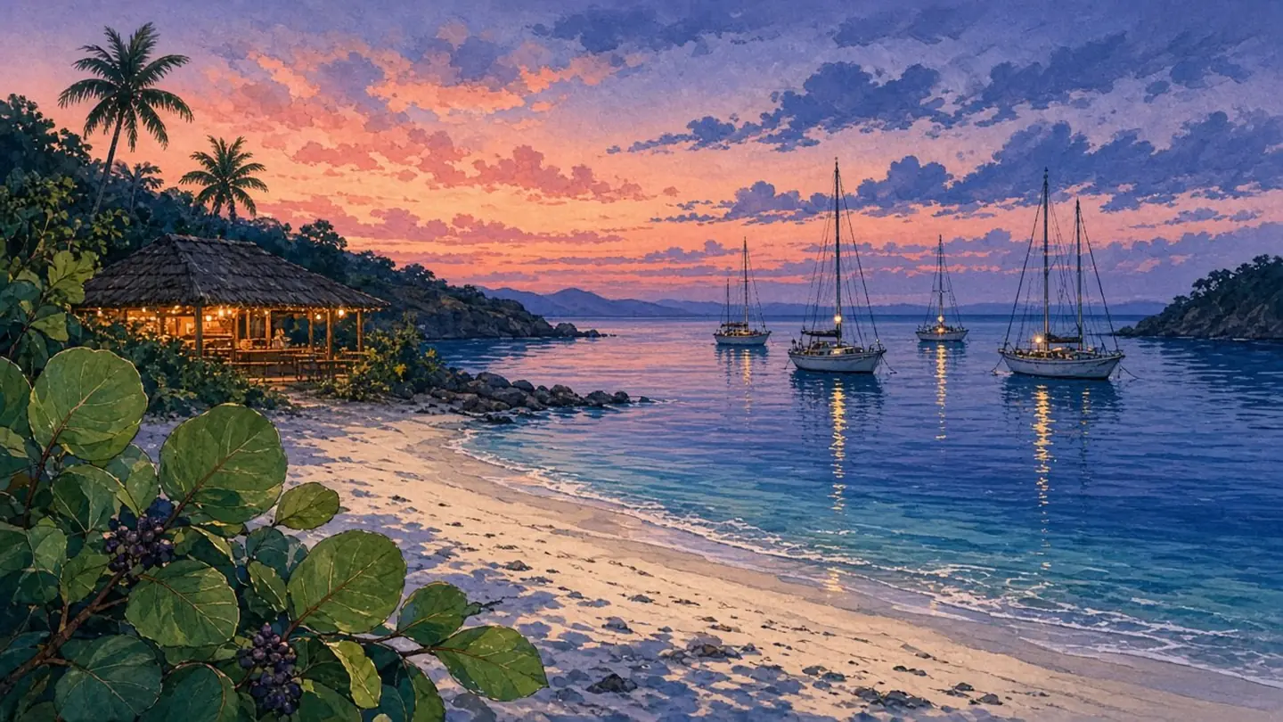
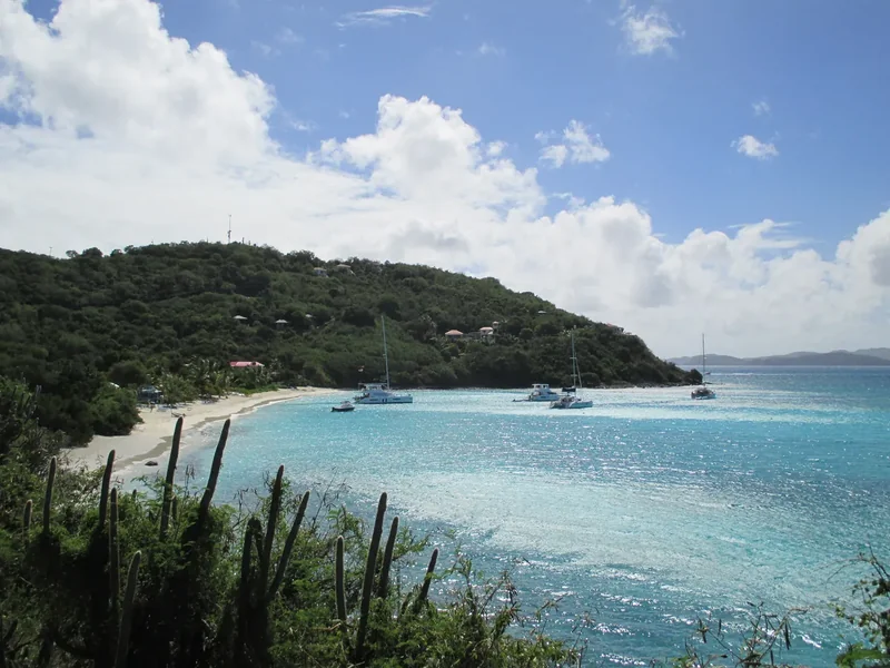
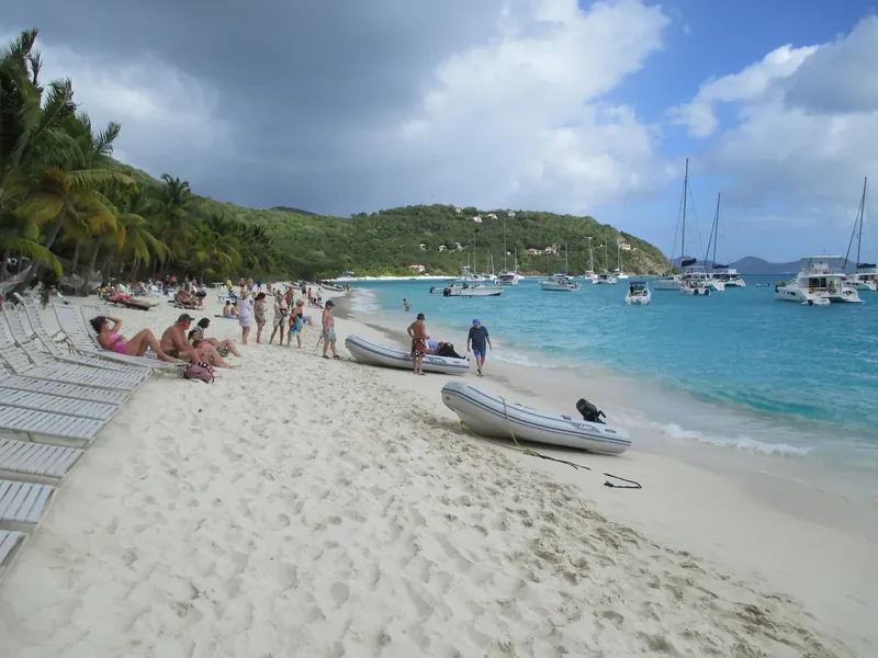
White Bay, Jost Van Dyke, at dusk: sea grapes, pale sand and boats on a mooring or at anchor off the beach (illustration).

References

Research behind this guide

The reporting and research that shaped this itinerary.

Photo credits

Photos via Wikimedia Commons, resized and converted to WebP. The illustrated cover, day cards, plan card and recap card are this guide’s original itinerary artwork, illustrated from the credited photos listed here.

  • Sandy Spit — photo by Cayeldo, CC BY-SA 3.0; this resized copy is shared under the same license (CC BY-SA 3.0); it is also the basis of the Cover and Cover web illustrations, shared under the same license (CC BY-SA 3.0)
  • The Caves, Norman Island — photo by Matt & Nayoung, CC BY 2.0; it is also the basis of the Day 1 card illustration
  • The Baths — photo by Calyponte, CC BY 3.0; it is also the basis of the Day 2 card illustration
  • Anegada salt ponds — photo by ScubaBear68, CC BY 2.0; it is also the basis of the Day 3 card illustration
  • Cow Wreck Beach — photo by anoldent, CC BY-SA 2.0; this resized copy is shared under the same license (CC BY-SA 2.0); it is also the basis of the Day 4 card illustration, shared under the same license (CC BY-SA 2.0)
  • Saba Rock — photo by kansasphoto, CC BY 2.0; it is also the basis of the Day 5 card illustration
  • White Bay — photo by User:Mattes, CC BY 2.0 DE; it is also the basis of the Day 6 card illustration and, with the White Bay (bar) photo below, of the late “White Bay at dusk” illustration
  • White Bay (bar) — photo by User:Mattes, CC BY 2.0 DE; with the White Bay photo above, it is the basis of the late “White Bay at dusk” illustration
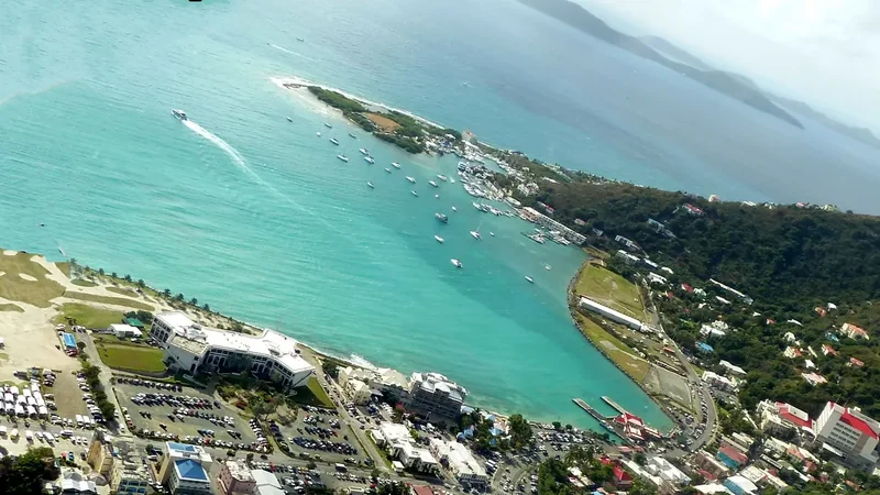
  • Great Harbour — photo by User:Mattes, CC BY 2.0 DE; it is also the basis of the Day 7 card illustration
  • Wickhams Cay — photo by giggel, CC BY 3.0; it is also the basis of the Packing card illustration
  • BVI ensign — photo by Matt and Nayoung Wilson, CC BY 2.0
  • The Baths coast — photo by User:Mattes, CC BY 2.0 DE
  • Great Harbour view — photo by User:Mattes, CC BY 2.0 DE; it is also the basis of the Recap card illustration
  • Sandy Cay — photo by John Trask, CC BY-SA 3.0; this resized copy is shared under the same license (CC BY-SA 3.0)
  • Cane Garden Bay — photo by Balou46, CC BY-SA 4.0; this resized copy is shared under the same license (CC BY-SA 4.0)
  • North Sound — photo by Gruepig, CC BY-SA 4.0; this resized copy is shared under the same license (CC BY-SA 4.0)
  • Cooper, Salt and Peter Islands — photo by giggel, CC BY 3.0
  • Norman Island — photo by giggel, CC BY 3.0
  • Anegada ponds — photo by ScubaBear68, CC BY 2.0
  • Route map — original illustrated route artwork for this guide; stop locations from OpenStreetMap

The trip index

Choose the landscape. Then choose the pace.

Every guide on the site, filtered the same way everywhere: region, season, who is going, style, trip type and length.

Every guide is listed on All trips (the filters here need JavaScript).

Browse by Where · Who's going · When · Trip type · How long.

Trip types: Festivals & events ·  Anniversaries & milestones ·  Cultural festivals & parades · National parks & wild places ·  State park getaways ·  Waterfalls & gorges ·  Volcanoes & geothermal wonders ·  Stargazing & northern lights ·  Camping & cabins ·  Wildlife watching & birding ·  Desert & canyon parks ·  Mountain & alpine parks ·  Coastal & island parks ·  Forests, rainforests, caves & wetlands · Road trip ·  Historic route ·   Route 66 ·   Natchez Trace Parkway ·  Mountain & scenic byways ·   Blue Ridge Parkway ·  National park road trip ·  Road trip abroad ·  Coastal drives ·   Pacific Coast Highway ·  Desert & canyon drives ·  Ferry & island road trip · Active & adventure trip ·  Paddling, kayaking & rafting ·  Snowshoeing, dog sledding & winter sports ·  Hiking & backpacking ·  Biking & rail-trails ·  Multi-sport adventure trip · City trip & culture ·  Live music & nightlife ·  Theme parks & family attractions ·  Museums: art, science & history ·  Film, TV & literary trip ·  Architecture & design ·  Theater & performing arts ·  Big cities ·  Smaller cities ·  Cities near the outdoors · Scenic train rides ·  Heritage & excursion railroads ·  Long-distance rail journeys ·  Car-free trip by train ·  Rail journeys abroad · Mountain getaways & ski ·  Ski trip ·  Snowy escapes without skiing ·  Summer mountain towns ·  Red rock & desert mountain towns ·  Alps, highlands & big ranges abroad · Spa, cruise & splurge trip ·  Wellness retreats & yoga ·  Spas & hot springs ·  Cruises, river & canal boats ·   Ocean cruises ·   Alaska Inside Passage cruise ·  Splurge trip ·  Slow, restful trip · History & culture ·  Lighthouses, forts & sea history ·  Castles & old towns ·  Mansions & grand estates ·  Ancient sites & ruins ·  Civil War sites ·  Historic small towns & covered bridges ·  Presidential & military history ·  Pilgrimages & sacred sites ·  Old West, ghost & mining towns ·  Civil rights & Black history ·  Colonial & Revolutionary history ·  Native American & Indigenous heritage · Beach vacations & islands ·  Snorkeling & diving ·  Beach towns ·  Island hopping ·  Tropical islands & the Caribbean ·  Mediterranean coasts & islands ·  Rugged coastlines ·  Surf towns · Food & wine trip ·  Markets, street food & food halls ·  Breweries & distilleries ·  Seafood & coastal eating ·  Fine-dining splurges ·  Wine country ·  Farm-to-table, orchards & cider ·  Coffee, cheese & sweet treats ·  Food cities (US & Canada) ·  Regional American food ·   Barbecue trails ·   Tex-Mex & Southwest flavors ·   Southern, Cajun & Creole cooking ·  Eating your way abroad ·   Japanese food ·   Italian food ·   Mexican food ·   French food ·   Spanish & Portuguese food ·   Southeast Asian food ·   Korean food ·   Central European food ·   Irish & British food · Bucket-list trip ·  Machu Picchu & the Inca Trail ·  Camino de Santiago ·  Iceland Ring Road · By departure city ·  From New York City ·  From Los Angeles ·  From Chicago ·  From Washington, DC ·  From Boston ·  From San Francisco Bay Area · By travel time ·  Under 2 hours by car ·  2 to 4 hours by car.