Five days · St. John, U.S. Virgin Islands

St. John for two: Cruz Bay, the North Shore bays and a day on the water

Reviewed How we verify

Five slow days for a couple on an island that is mostly national park: the ferry over to Cruz Bay, early swims at Trunk Bay and Maho Bay, the Annaberg ruins above Leinster Bay, a day on a boat and a short trail to Honeymoon Beach.

Beach vacationsNational parksIslands

5 days / 4 nights Busiest Nov–Apr Couples
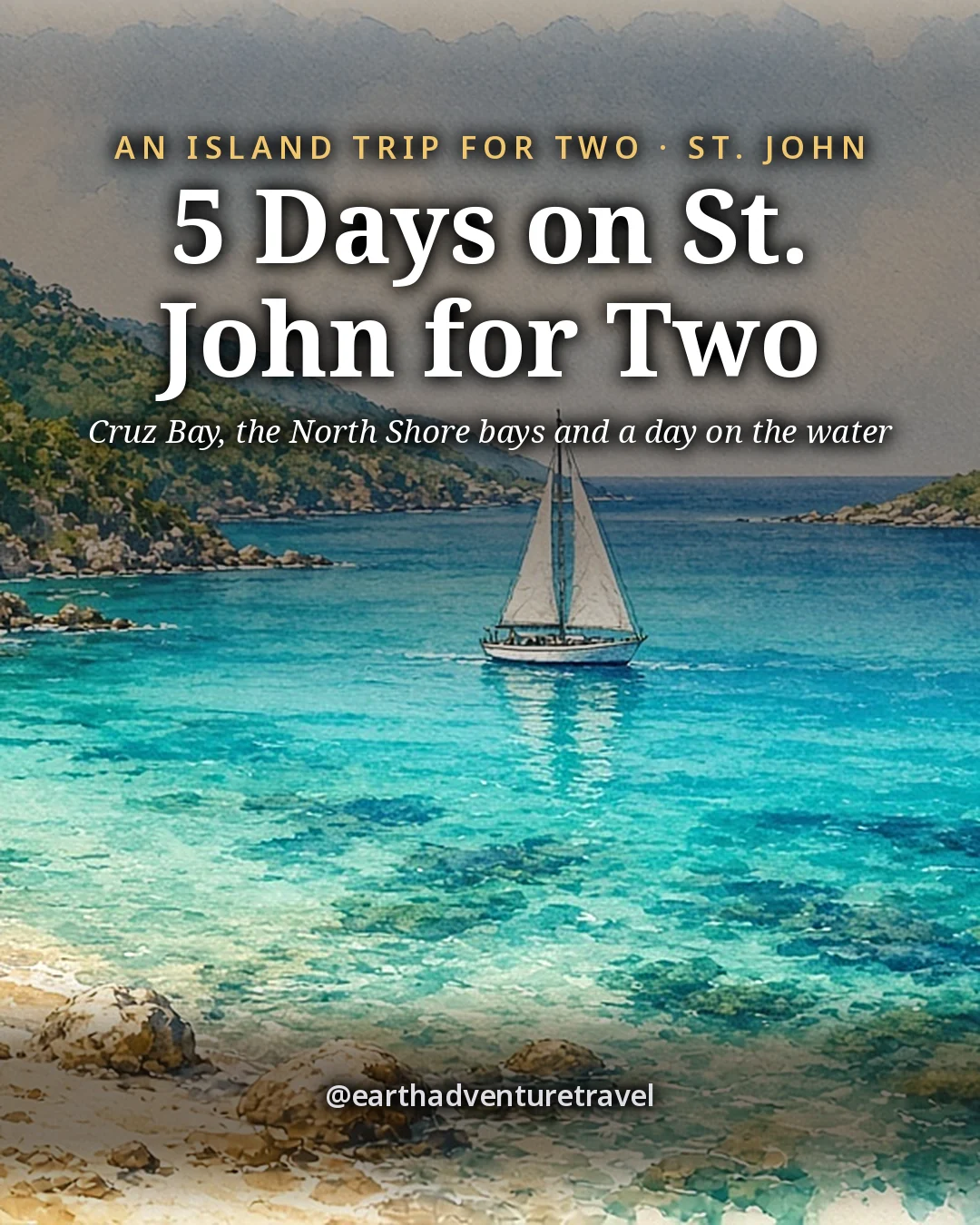
Illustration: the cover for 5 Days on St. John for Two, a small white sailboat at anchor in a curving turquoise bay ringed by steep green hills, a palm leaning over white sand and a small cay offshore
Original illustration
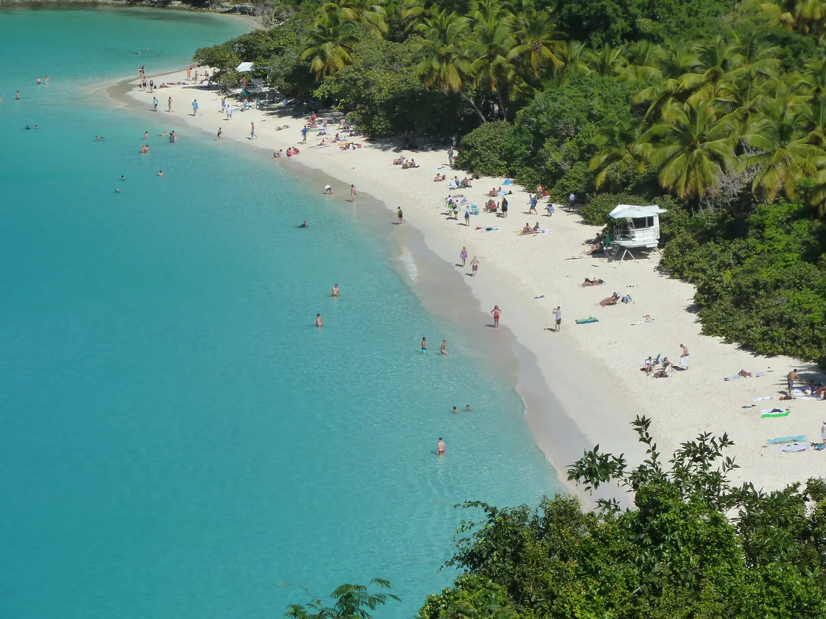
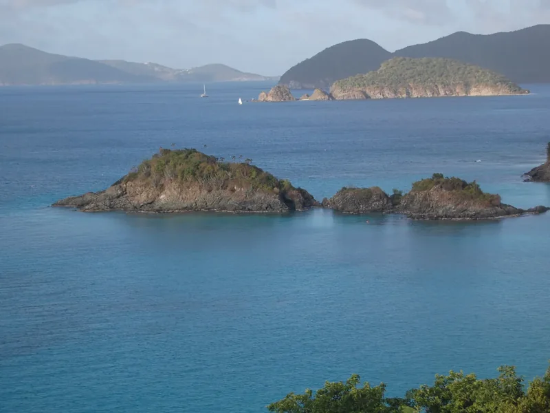
Trunk Bay seen from the overlook on North Shore Road, a curve of white sand and turquoise water below green hills
Trunk Bay · the view down from the overlook on North Shore Road, Route 20

The trip in 60 seconds

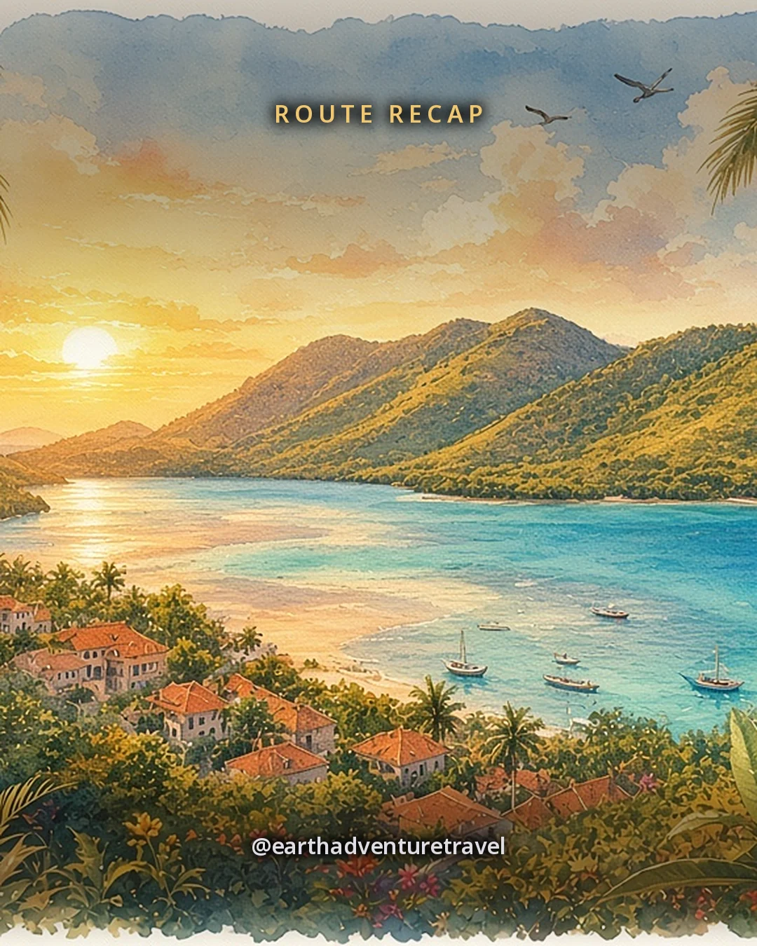
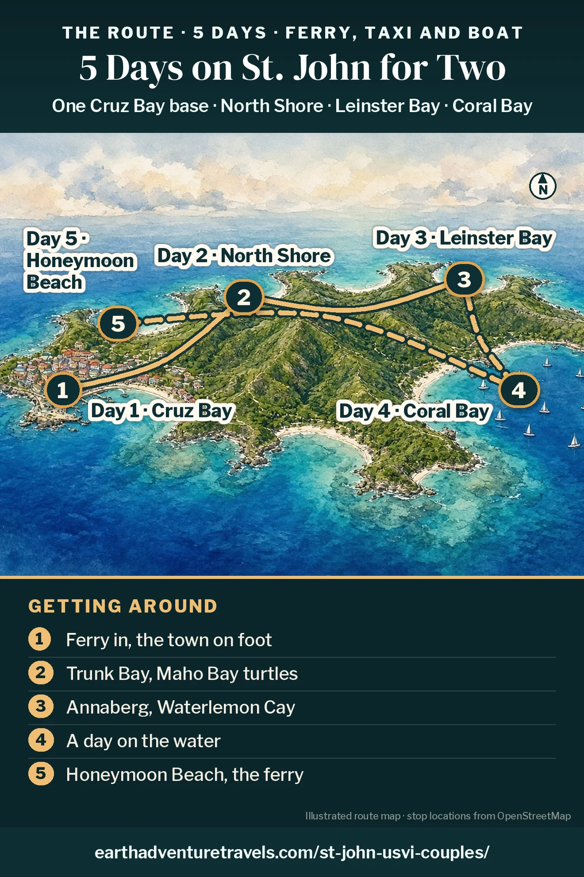
Illustration: route map of the five days, an illustrated bird’s-eye view of St. John with green hills and turquoise bays and numbered pins at Cruz Bay (Day 1), the North Shore bays (Day 2), Leinster Bay (Day 3), Coral Bay (Day 4) and Honeymoon Beach (Day 5)
St. John in five days · one Cruz Bay base, taxis, two Jeep days and a boat

Postcards from the trip

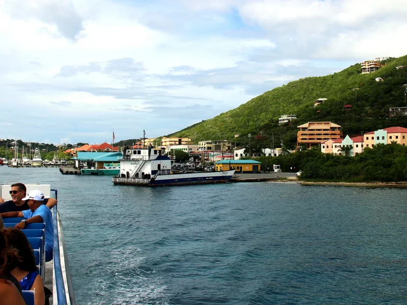
Passengers on the upper deck of the ferry from Red Hook approaching Cruz Bay, with the town on the green hillside
The ferry · About 20 minutes from Red Hook to Cruz Bay, every hour.
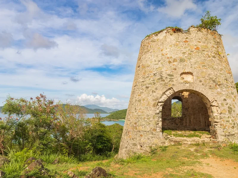
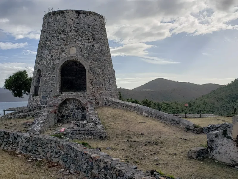
The stone windmill tower of the Annaberg plantation ruins above the sea
Annaberg · Read every sign; give the plantation ruins a full hour.
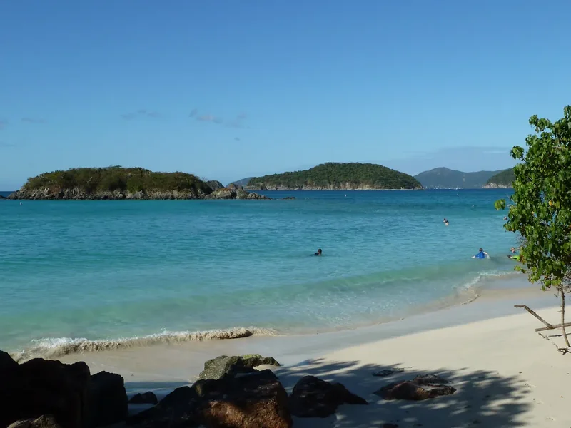
Cinnamon Cay and Whistling Cay offshore from Cinnamon Bay, calm turquoise water and a rocky shore
Cinnamon Bay · The park’s longest beach, with kayak rentals.
The long white-sand beach at Cinnamon Bay below steep green hills
On the sand · Carry water and snacks; food stops are few out here.

The idea

Five slow days on St. John for two: the ferry, the bays and a day at sea.

St. John is the smallest of the three main U.S. Virgin Islands, and about 60 percent of it belongs to Virgin Islands National Park and the Virgin Islands Coral Reef National Monument. There is no airport: you fly into St. Thomas and cross on a passenger ferry to Cruz Bay, the island’s one real town.

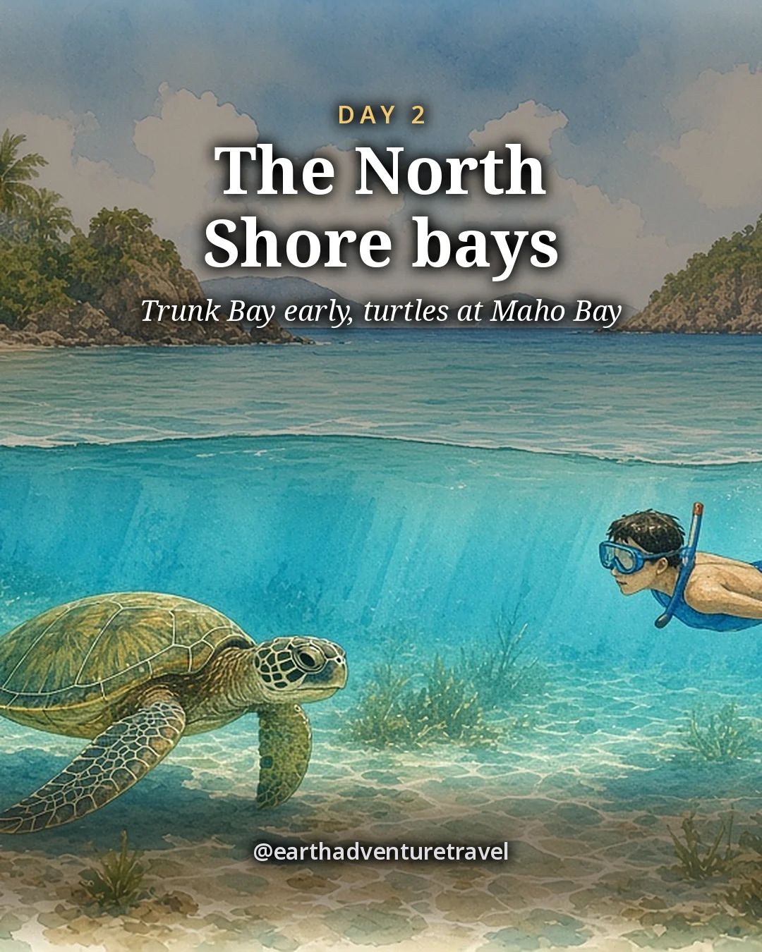
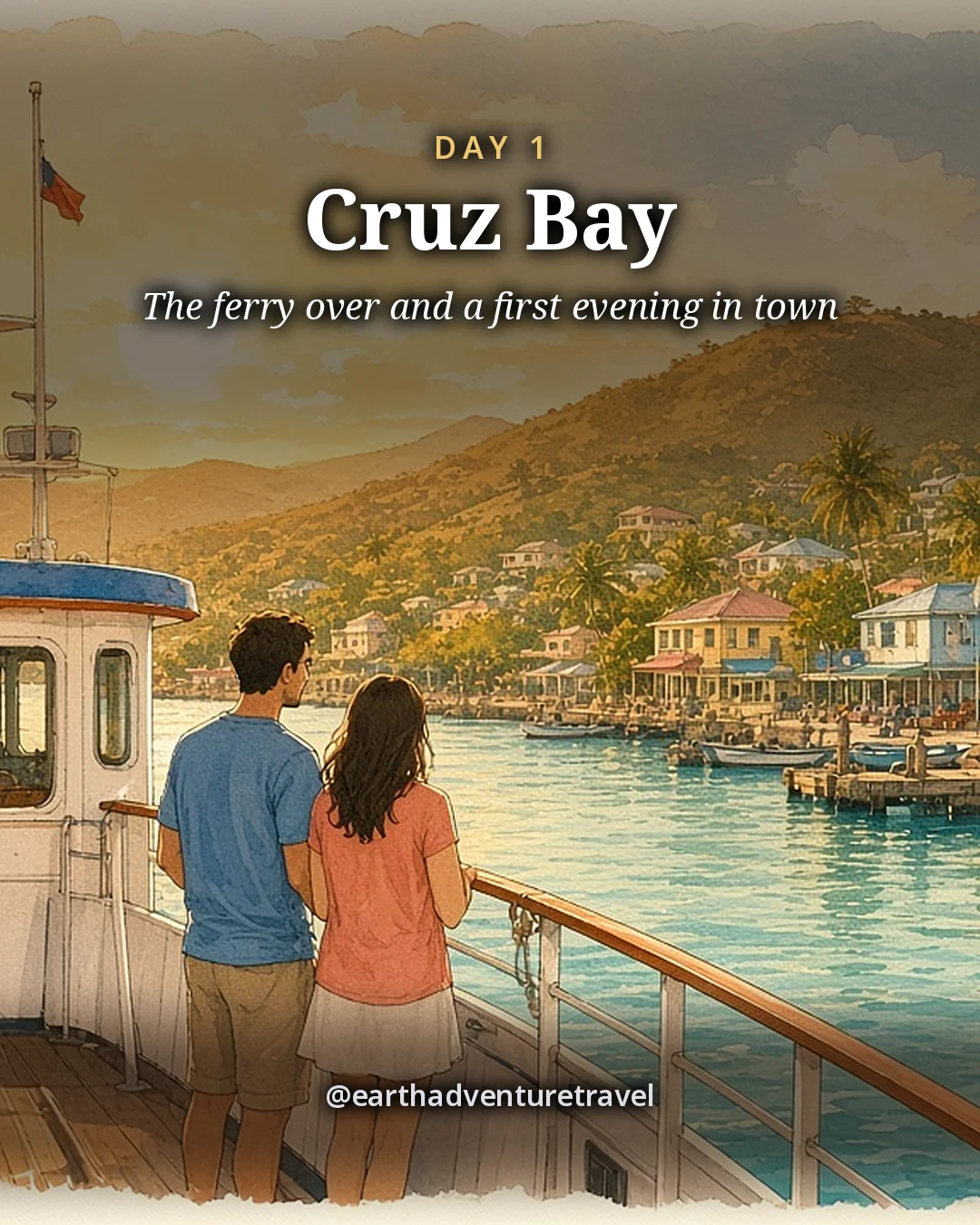
Day 1 is the crossing and Cruz Bay on foot. Day 2 is the North Shore: Trunk Bay early, then the seagrass at Maho Bay, where green sea turtles graze. Day 3 is the Annaberg plantation ruins and a snorkel at Waterlemon Cay. Day 4 is a day on the water out of Coral Bay, and Day 5 is the Lind Point trail to Honeymoon Beach before the ferry.

Comparing islands? See St. Maarten for couples and Puerto Rico for three generations, or browse all trips.

The route

Five days, one Cruz Bay base, the island by taxi, Jeep and boat

A taxi along the North Shore, two days with a rental Jeep for Annaberg and Coral Bay, a boat day, and the last morning on foot, four nights in the same room near the ferry.

Illustrated travel journal with a winding route and pinsCustom Edition

How we tailor your St. John plan

A plan that knows how you travel.

3 full itineraries in every plan, Saver to Splurge, so you can pick or mix.

🌙 Your rhythm

Slow mornings? Your days start after a late breakfast, not at dawn.

🥾 Your needs

One of you hikes and one doesn't? Each day pairs a trail with an easy viewpoint.

🌄 Your kind of day

Celebrating something? We save a standout sunset spot for your last night.

3 full itineraries in every plan

Saver, Sweet spot and Splurge, each a complete day-by-day plan. Pick one or mix.

All 3 in your plan
$SaverSmart value
$$Sweet spotBest balance
$$$SplurgeTreat yourself
See it in a sample plan

Yours from $39.

Every plan is built around you, your pace and your must-dos.

Longer trip? Add days 15–21 for $8 a day.

Journey (4–8 days) · $69

Art & photos

  • 8 original illustrations of your trip's highlights
  • 14 destination photos to preview each stop1 cover · 6 daily · 7 postcards

Planning

  • Timed itinerary so every day runs at an easy pace
  • 3 full itineraries Saver, Sweet spot and Splurge, so you can pick or mix
  • 3 curated stays per stop to match your budget
  • Where to eat for breakfast, lunch and dinner, plus insider tips every day
  • Tap-to-go routes to every hotel, activity and restaurant, opening straight in your maps app
  • Booking timeline so you book the right things in the right order
  • Packing list made for every traveler coming
  • 6 rainy-day backup plans so a wet day still feels like vacation

Your plan, your way

  • Digital trip page in your account, on any device
  • PDF to save, print or share
  • Trip playlist with song links for Spotify and Apple Music
  • Calendar file that drops every day into your calendar
  • Budget estimate so you know the cost before you go
  • 1 free refinement to tweak anything after delivery

Emailed within 3 business days of your trip brief. Full refund before work starts, or if we can’t deliver. 1 free refinement after delivery (2 on Grand Journey); extra refinements after delivery, $19 each.

Our promise

  • Full refund before work starts, or if we can’t deliver. Change your mind before work starts and we’ll refund you in full. If we can’t deliver your plan, you’re refunded in full too.
  • One free refinement after delivery (two on Grand Journey). Tell us what to change and we’ll refine it. Extra refinements are $19 each.
  • Spotted an error? Tell us which fact on this page looks wrong and we’ll review it.

The people behind the plans

Who is Earth Adventure Travel?

We build routes for real life — wrangling kids, spanning generations, or heading out solo — and review key details regularly. Things change and we can miss some, so we link the official sources for you to confirm before you go.

Learn About Us

Before you go

Plan & pack

Pack for the trip

  • Shoes with real grip. Park trails are rough, rocky and slick after rain.
  • Reef-safe sunscreen. Check the label for oxybenzone and octinoxate.
  • Two masks and snorkels. Rentals exist, but a mask that fits is worth it.
  • A light rain shell. Showers blow through and pass quickly.
  • A dry bag. For phones and cards on the boat and the beach.
  • A card for Trunk Bay. The $5 fee is card or phone only.
  • Reservations for two dinners. Ocean 362 and Morgan’s Mango fill up.
  • A valid driver’s license. For the Jeep days; traffic keeps left on St. John.
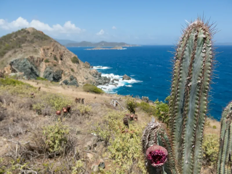
The rocky headland of Ram Head on St. John with a tall cactus in the foreground and deep blue sea beyond
Pack shoes with grip for rocky trails like Ram Head. Ram Head · rocky trails like this one call for shoes with a real grip
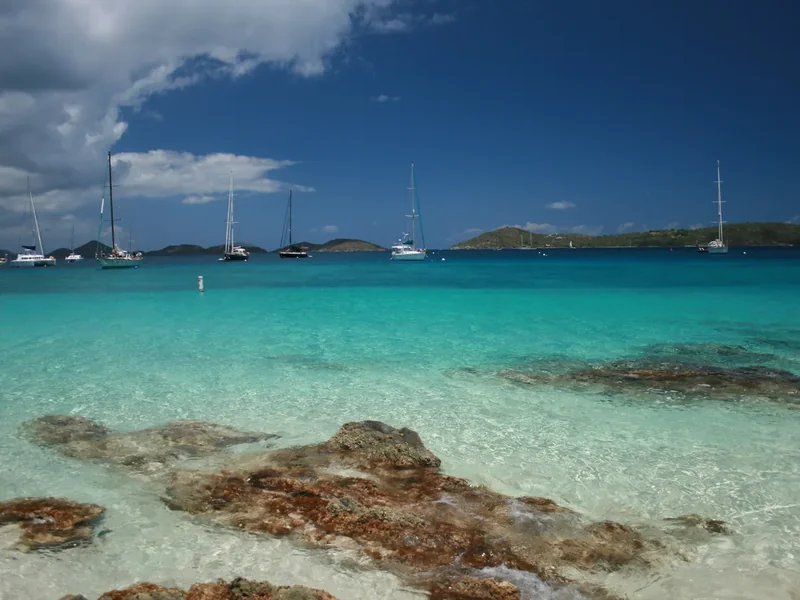
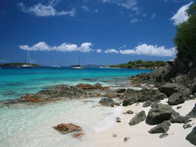
Clear shallow water over rocks at Salomon Bay with sailboats moored offshore
Bring masks for the reefs off Honeymoon and Salomon. Salomon Bay · reef in clear, shallow water; bring masks that fit you both
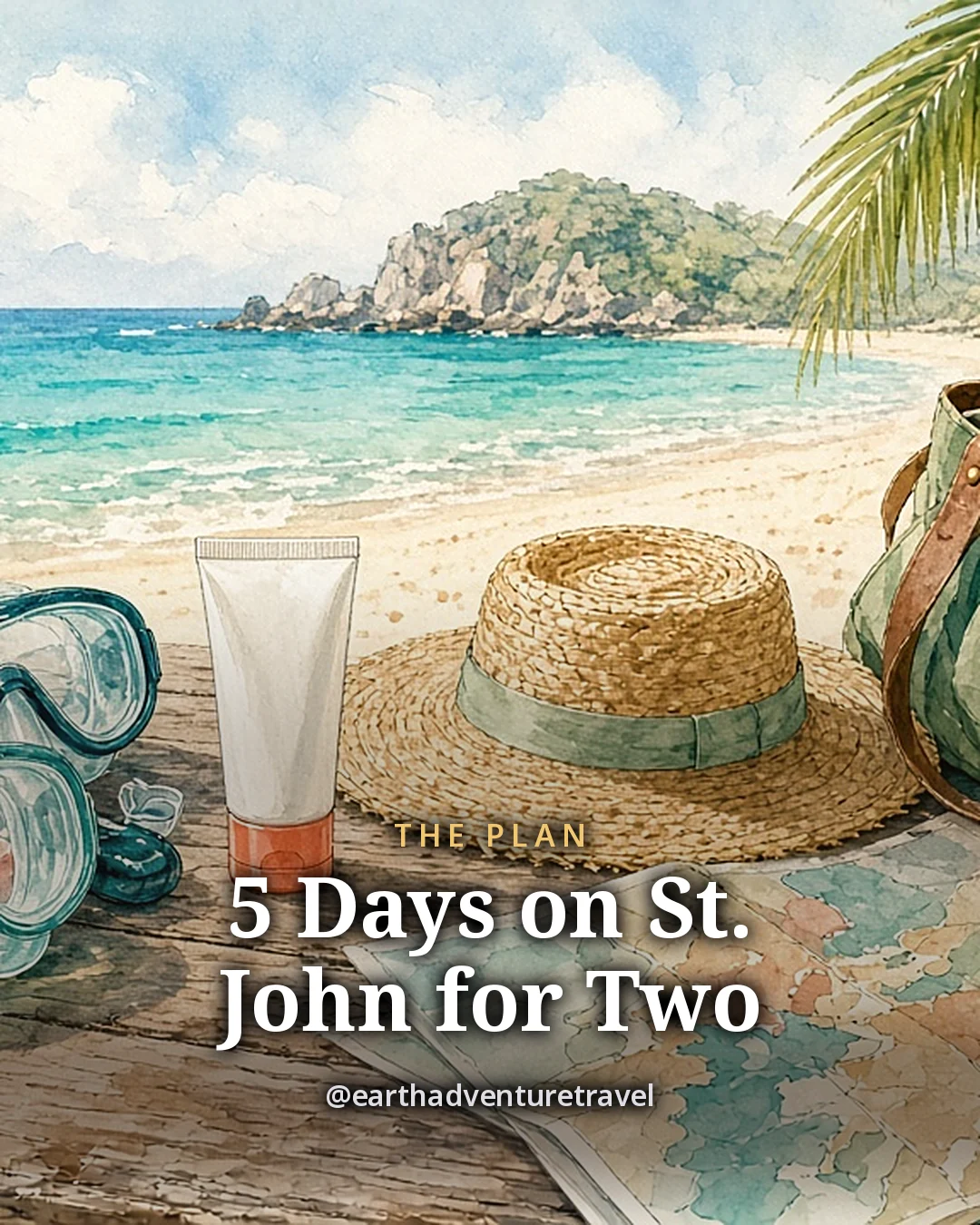
Illustration: two snorkel masks and fins, a plain bottle of sunscreen, a straw hat, a canvas beach bag, a water bottle and a folded blank trail map on a wooden table by a beach, original illustrated plan card for 5 days on St. John
Original illustration · snorkel masks, a straw hat, a beach bag and a blank trail map on a wooden table

St. John in one frame

The plan card lays the week out on one table: two masks for the bays, a hat for the boat, a bag for the beach and a map for the trails. Every stop and meal is in the day-by-day above.

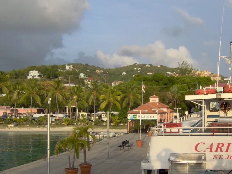
Passengers on the upper deck of the ferry from Red Hook approaching Cruz Bay, with the town on the green hillsideThe landing pier at Cruz Bay with a ferry, palms and buildings on the hillsideThe stone windmill tower of the Annaberg plantation ruins above the sea
Ferry and town · the crossing from Red Hook, the Cruz Bay pier and the Annaberg windmill
Illustration: green island hills above a chain of turquoise bays at evening, with small boats moored offshore and flowering shrubs and palms in the foreground, original illustrated recap card
Original illustration · the green hills above the turquoise bays at evening, boats on their moorings

Where the days end

The recap card closes the trip as the island does each evening: boats on their moorings and the hills going dark above the bays. The day-by-day has each stop and meal.

Cinnamon Cay and Whistling Cay offshore from Cinnamon Bay, calm turquoise water and a rocky shoreThe long white-sand beach at Cinnamon Bay below steep green hillsThe stone ruin of the Peace Hill windmill on a grassy hilltop on St. John
The North Shore · Cinnamon Bay, its cays and an old windmill above the coast

Quick answers

Planning notes

How do you get to St. John?

Fly into St. Thomas, take a taxi to Red Hook, then ride the passenger ferry to Cruz Bay, about 20 minutes. St. John has no airport. A separate car barge runs from Red Hook if you rent a car on St. Thomas. Day 1 covers the crossing step by step.

When is the last ferry back to St. Thomas?

Passenger ferries from Cruz Bay to Red Hook run hourly from 6 a.m. until 11 p.m., according to the park’s getting-around page. From Red Hook to Cruz Bay, the last boat leaves at 11:30 p.m. Check the current schedule before a late dinner.

Do you need a car on St. John?

Not every day. Safari taxis cover Cruz Bay and the North Shore beaches, and the park lists an hourly Vitran bus on Centerline Road, though it is not reliable. This plan uses taxis on days 1, 2 and 5 and a rental Jeep for Annaberg and Coral Bay. Traffic keeps to the left.

When is St. John busiest?

The national park says it is busiest from November to April in a typical year. That is also the drier, breezier season, so book rooms, the boat and dinners early and reach the North Shore beaches before the lots fill, which the park says can happen by 10 a.m.

Is five days enough for St. John?

For a couple who wants a slow pace, yes. Five days covers the North Shore bays, Annaberg and Waterlemon Cay, a full day on the water and one short trail, with long lunches and early nights. Add a sixth day for the Reef Bay hike or a second boat trip.

Where is the snorkeling on St. John?

The park names Trunk Bay, Maho Bay, Waterlemon Cay and Salt Pond among its popular spots. Trunk Bay has an underwater snorkel trail with plaques, Maho Bay has seagrass where green sea turtles graze, and Waterlemon Cay has coral heads and a drop-off. See Day 2 and Day 3.

Can you still do the Reef Bay hike?

Yes, seasonally. Friends of Virgin Islands National Park runs a ranger-led hike down the Reef Bay Trail on Mondays and Tuesdays, about 3 miles, with a 40-minute boat ride back to the Visitor Center. Tickets are sold ahead on the Friends site. Day 4 shows where it fits.

Is St. John a good trip for couples?

For couples who like the water, yes. Most of the island is national park, so days are about quiet bays, short trails and snorkeling rather than nightlife, and Cruz Bay has enough good dinners for five nights. For a busier island with more resorts, compare St. Maarten.

Before you set off — the official checks

Ferry times, fees, hike dates and restaurant hours change. Confirm current details on the sites listed under official links.

References

Research behind this guide

The reporting and research that shaped this itinerary.

Annaberg Sugar Plantation ↗National Park Service

Photo credits

Photos via Wikimedia Commons, resized and converted to WebP. The illustrated cover, day cards, plan card and recap card are this guide’s original itinerary artwork, illustrated from the credited photos listed here.

  • Trunk Bay — photo by Gruepig, CC BY-SA 4.0; this resized copy is shared under the same license (CC BY-SA 4.0); it is also the basis of the Cover and Cover web illustrations, shared under the same license (CC BY-SA 4.0)
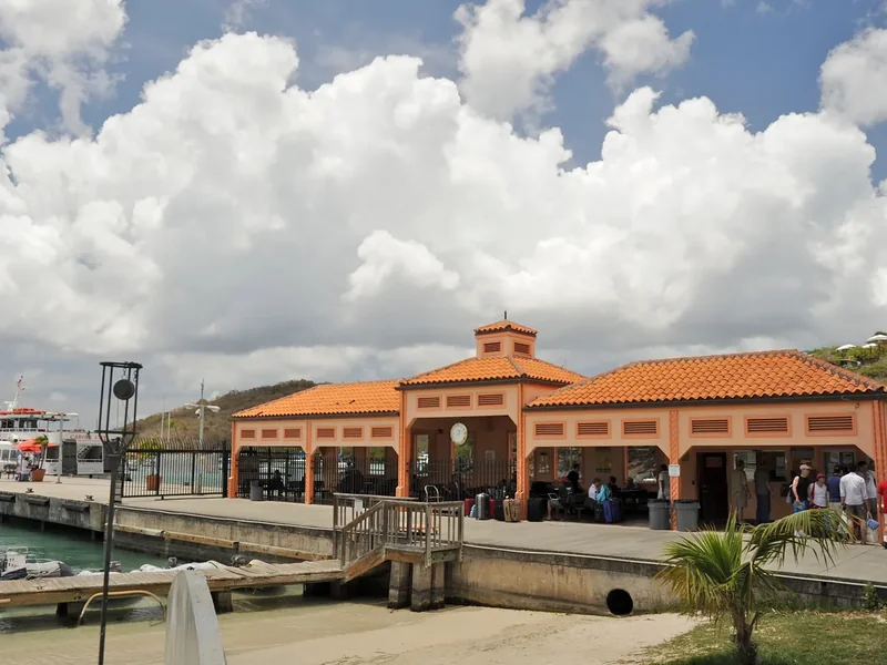
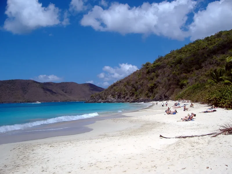
  • Cruz Bay — photo by Fred Hsu (Wikipedia:User:Fred Hsu on en.wikipedia), CC BY-SA 3.0; this resized copy is shared under the same license (CC BY-SA 3.0); it is also the basis of the Day 1 card illustration, shared under the same license (CC BY-SA 3.0)
  • Trunk Bay — photo by Desalvionjr, CC BY-SA 3.0; this resized copy is shared under the same license (CC BY-SA 3.0); it is also the basis of the Day 2 card illustration, shared under the same license (CC BY-SA 3.0)
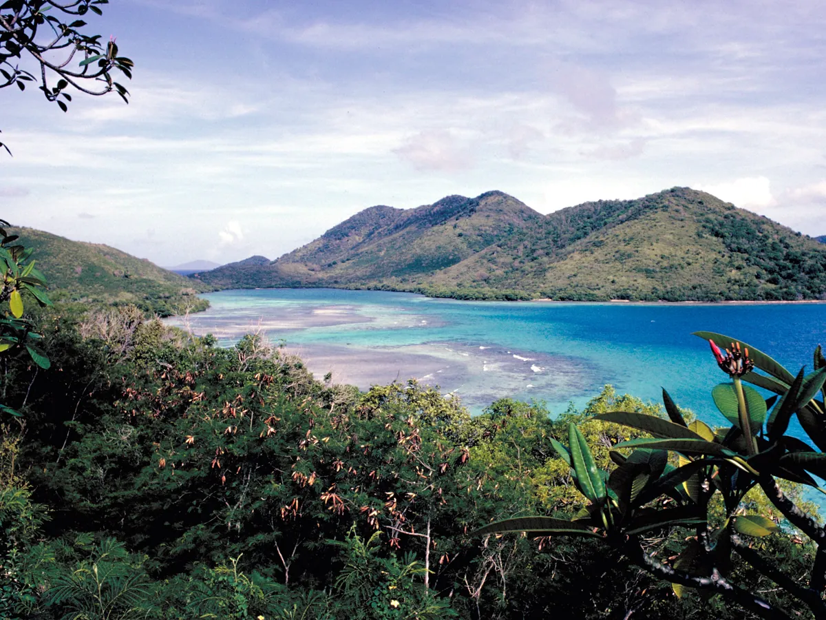
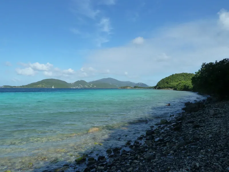
  • Leinster Bay — photo by Gruepig, CC BY-SA 3.0; this resized copy is shared under the same license (CC BY-SA 3.0); it is also the basis of the Day 3 card illustration, shared under the same license (CC BY-SA 3.0)
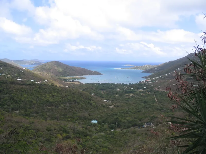
  • Coral Bay — photo by en:User:Bonus Onus, CC BY-SA 3.0; this resized copy is shared under the same license (CC BY-SA 3.0); it is also the basis of the Day 4 card illustration, shared under the same license (CC BY-SA 3.0)
  • Honeymoon Beach — photo by Bradley Furlow, CC BY-SA 4.0; this resized copy is shared under the same license (CC BY-SA 4.0); it is also the basis of the Day 5 card illustration, shared under the same license (CC BY-SA 4.0)
  • Ram Head — photo by Scott Long, CC BY 3.0; it is also the basis of the Packing card illustration
  • Salomon Bay — photo by Bradley Furlow, CC BY-SA 4.0; this resized copy is shared under the same license (CC BY-SA 4.0)
  • Virgin Islands National Park — photo by Unknown authorUnknown author, Public domain
  • Cruz Bay pier — photo by FloNight (Sydney Poore) and Russell Poore, CC BY-SA 3.0; this resized copy is shared under the same license (CC BY-SA 3.0)
  • Peace Hill — photo by Madlabscientist, CC BY-SA 4.0; this resized copy is shared under the same license (CC BY-SA 4.0)
  • Ferry to Cruz Bay — photo by Prayitno / Thank you for (12 millions +) view, CC BY 2.0
  • Annaberg — photo by Pi3.124, CC BY-SA 4.0; this resized copy is shared under the same license (CC BY-SA 4.0)
  • Cinnamon Bay — photo by Gruepig, CC BY-SA 4.0; this resized copy is shared under the same license (CC BY-SA 4.0)
  • Cinnamon Bay beach — photo by John Kernan, Public domain
  • Route map — original illustrated route artwork for this guide; stop locations from OpenStreetMap

The trip index

Choose the landscape. Then choose the pace.

Every guide on the site, filtered the same way everywhere: region, season, who is going, style, trip type and length.